Zocapèl Mouth
Access
From Milan to Montespluga along State Road 36. Ample parking at the village.
.Introduction
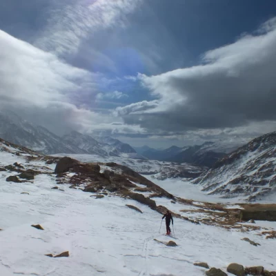
A hike that, taken on its own, is a half-day destination to start early and finish before the firn gives way. In reality, this is an Italian access variant to the Swiss normal on Pizzo Suretta: it is a gully that is very steep in places - and also narrow at the top - that accesses the border line near the Laghi Azzurri, and then continues between Mittler-Schwarzhorn and Inner-Schwarzhorn to Surettajoch. The area is heavily buffeted by northerly winds and the access channel to the pass is often frozen. Extensive views both towards Italy (Valle Spluga, Madesimo and their mountains) and towards the Grisons in the Rhine Valley ("Splügen Dolomites", Platta).
.Description
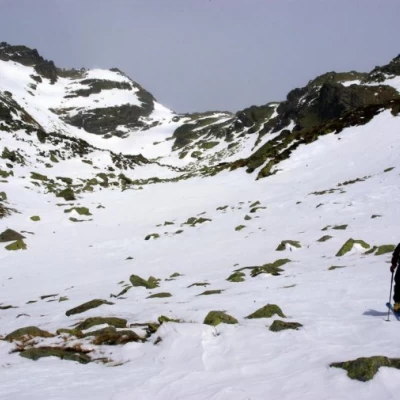
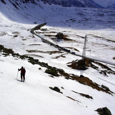
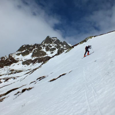
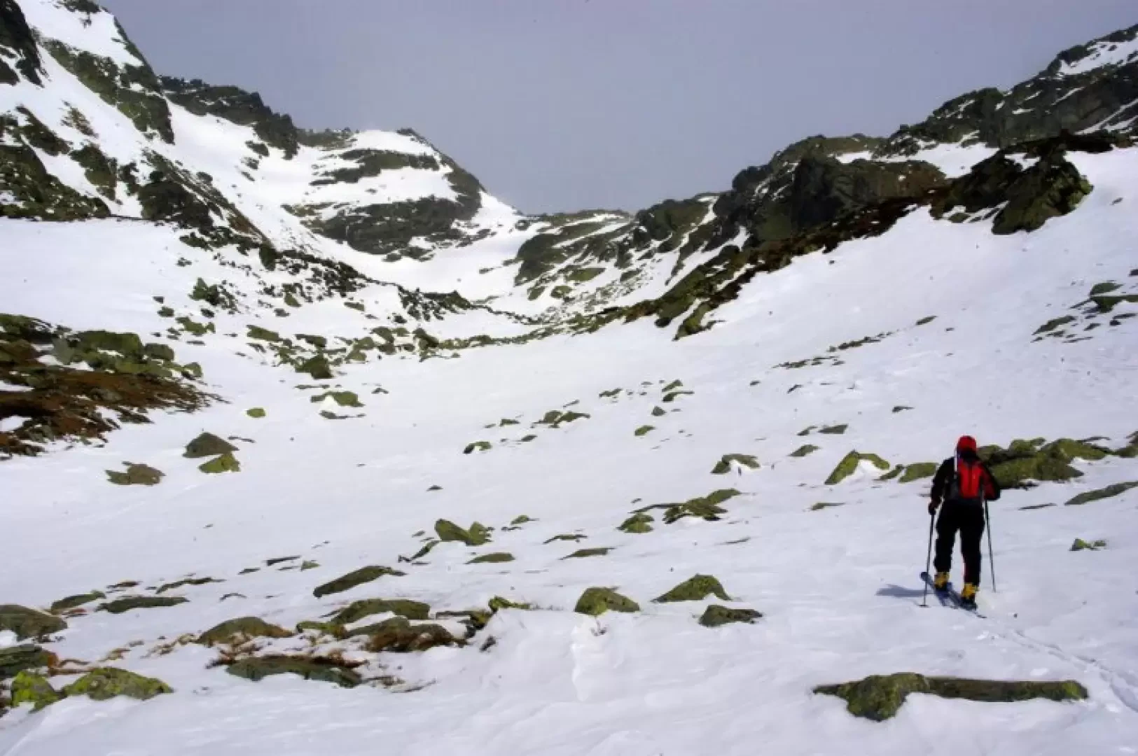
From the car park, go back along the road to the first isolated houses of Montespluga 1905m, not far from the bridge-viaduct over the artificial lake. Here, climb up the slopes to the left, which you climb up again with careful diagonals until you reach a terrace near some small avalanche barriers: at this point, the route is clear. Continue into the valley, alternating steep stretches with more restful areas, until you reach the terminal amphitheatre at the foot of Pizzo della Casa: turn sharply to the east (signs of the summer trail may be visible) to take the right of two slopes-channels. The constant wind and the possible scarcity of snow can leave slabs of ice uncovered: pay attention to the exposure below.
You have now reached the Bocchetta della Zocapèl about 2450m: a rather vast and desolate stony plateau that is home to the Laghi Azzurri, near the Italian-Swiss border line coinciding in this area with the watershed between the Mediterranean Sea and the North Sea.
Return along the outward route.
