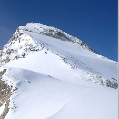
Tsantelèina
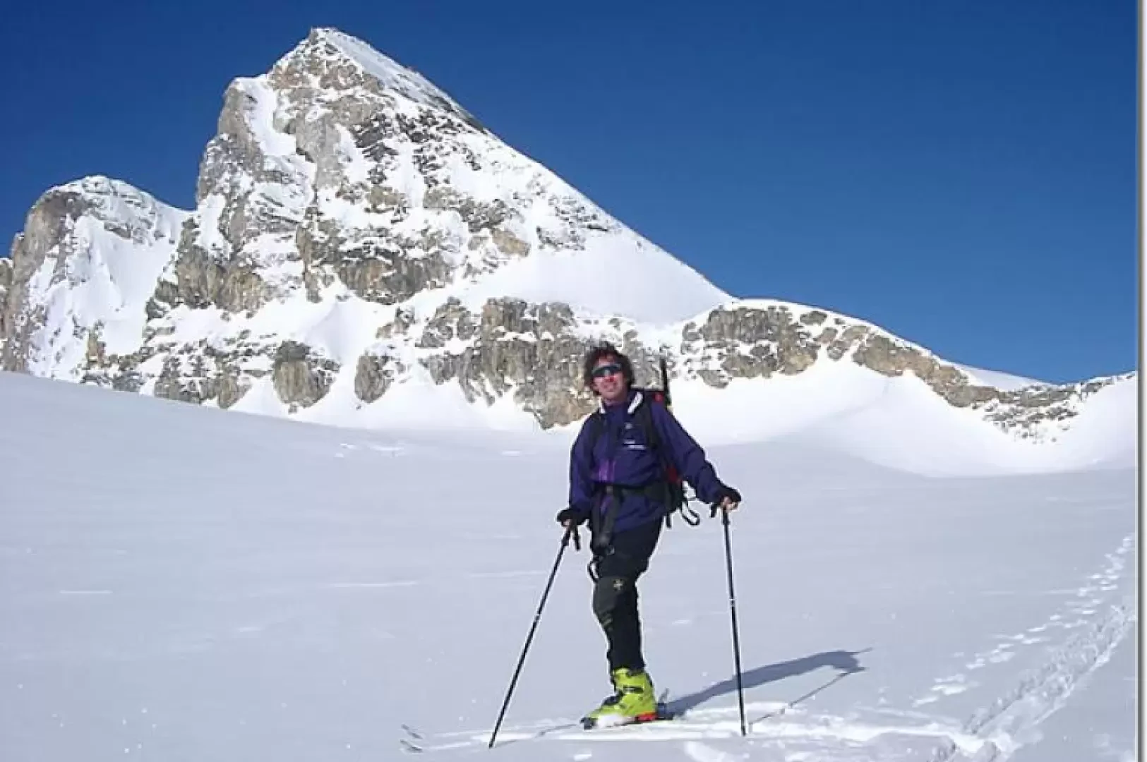
Access
Lasciare l'autostrada all'uscita Aosta Ovest e proseguire fino all’innesto con la strada statale . Svoltare a sinistra al semaforo e procedere in direzione Courmayeur. Superare gli abitati di Saint-Pierre e Villeneuve, quindi, dopo 6,6 chilometri, imboccare sulla destra la strada regionale della Valsavarenche, che attraversa rapidamente Introd e, dopo altri 4,7 chilometri, si dirama diventando la strada regionale della Valle di Rhêmes. Risalire la vallata per 14,9 chilometri, superando Rhêmes-Saint-Georges, fino a giungere a Bruil, capoluogo del comune di Rhêmes-Notre-Dame. Qui è possibile parcheggiare l’auto nel parcheggio 🅿️ di fronte al municipio oppure, in caso di forte affluenza, nel parcheggio 🅿️ situato sulla destra, poco prima di entrare nel villaggio.
Distanza e tempo di percorrenza
🕒 Tempo di percorrenza: 33 minuti
📏 Distanza: 26,2 km
Navigazione GPS
📍 Come arrivare con Google Maps
📍 Come arrivare con Apple Maps
ℹ️ Nota importante
Le indicazioni fornite sono state verificate alla data del rilievo dell’itinerario. Prima della partenza, è consigliabile verificare eventuali variazioni del percorso. Per ottenere indicazioni aggiornate e dettagliate, si consiglia l’uso di Google Maps o Apple Maps.
Introduction
A very demanding tour in the final 500 metres. You have to tackle a steep slope (40°). Up to the Col de Tsantelèina it is very easy. Spectacular environment. Only to be done when the wall is in excellent condition.
.Description
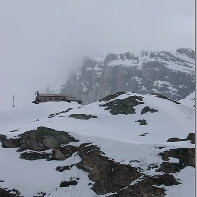
From Rhemes (1740m), follow the cross-country ski tracks to Thumel (1879m). From here, follow the summer trail (signs) to the Benevolo hut, which passes near a chapel (1936m), passes high up on the Dora, crosses the Barmaverin pastures (2037m) and arrives at the Roman bridge over the Dora. It crosses the Dora and ascends by bumps to the Lavassey mountains and the Benevolo hut (2285m).
From the hut, descend to the right to cross the Dora, then climb the steep slope on the right and with a long diagonal, cutting across very steep slopes, you arrive at the basin of the Granta Parei lake (2576m).
On much less demanding slopes, you reach the basin of Lac de Tsantelèina (2696m) below the east face of Granta Parei. If in doubt, it is possible to get here by starting from the hut and proceeding to the left of the Truc de Tsanteleina, bypassing it and then ascending on moderate slopes to the right, through a small valley and with a short steeper section.
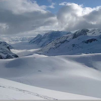
From the lake, continue on the gently sloping glacier, skirting the entire face of the Granta Parei.
On reaching the summit, head decisively towards the wide col de Tsantelèina (3154m), which is reached by tackling a steep escarpment (a rope is sometimes useful).
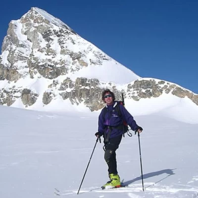
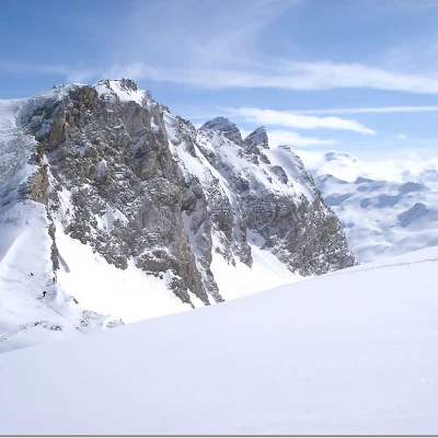
From the col, turn left and reach the base of the wall. You tackle it by keeping as far to the right as possible, less steeply, where you can ascend on skis. Head for an obvious gully in the rock bar (you usually leave your skis here) and climb to the summit (3601m).
