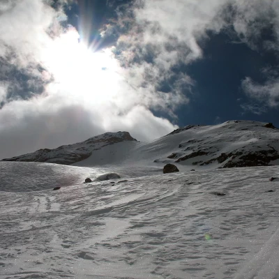
Entrelor Peak, from Bruil
Access
Lasciare l'autostrada all'uscita Aosta Ovest e proseguire fino all’innesto con la strada statale . Svoltare a sinistra al semaforo e procedere in direzione Courmayeur. Superare gli abitati di Saint-Pierre e Villeneuve, quindi, dopo 6,6 chilometri, imboccare sulla destra la strada regionale della Valsavarenche, che attraversa rapidamente Introd e, dopo altri 4,7 chilometri, si dirama diventando la strada regionale della Valle di Rhêmes. Risalire la vallata per 14,9 chilometri, superando Rhêmes-Saint-Georges, fino a giungere a Bruil, capoluogo del comune di Rhêmes-Notre-Dame. Qui è possibile parcheggiare l’auto nel parcheggio (🅿️) di fronte al municipio oppure, in caso di forte affluenza, nel parcheggio (🅿️) situato sulla destra, poco prima di entrare nel villaggio.
Distanza e tempo di percorrenza
🕒 Tempo di percorrenza: 33 minuti
📏 Distanza: 26,2 km
Navigazione GPS
📍 Come arrivare con Google Maps
📍 Come arrivare con Apple Maps
ℹ️ Nota importante
Le indicazioni fornite sono state verificate alla data del rilievo dell’itinerario. Prima della partenza, è consigliabile verificare eventuali variazioni del percorso. Per ottenere indicazioni aggiornate e dettagliate, si consiglia l’uso di Google Maps o Apple Maps.
Introduction
A justly famous and popular excursion. It takes place in a beautiful valley and offers a beautiful descent to the wooden cross (2104m), which is a little bumpy afterwards. One of the most beautiful ski tours in the valley.
.Description
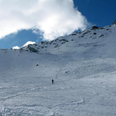
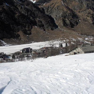
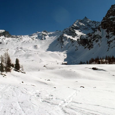
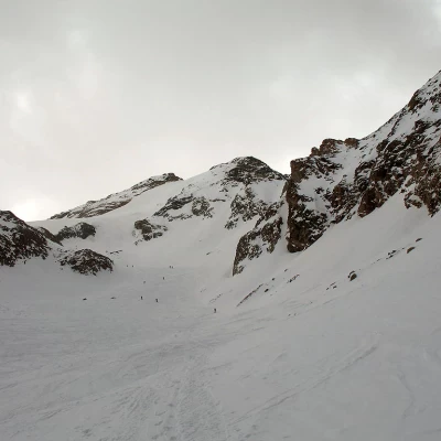
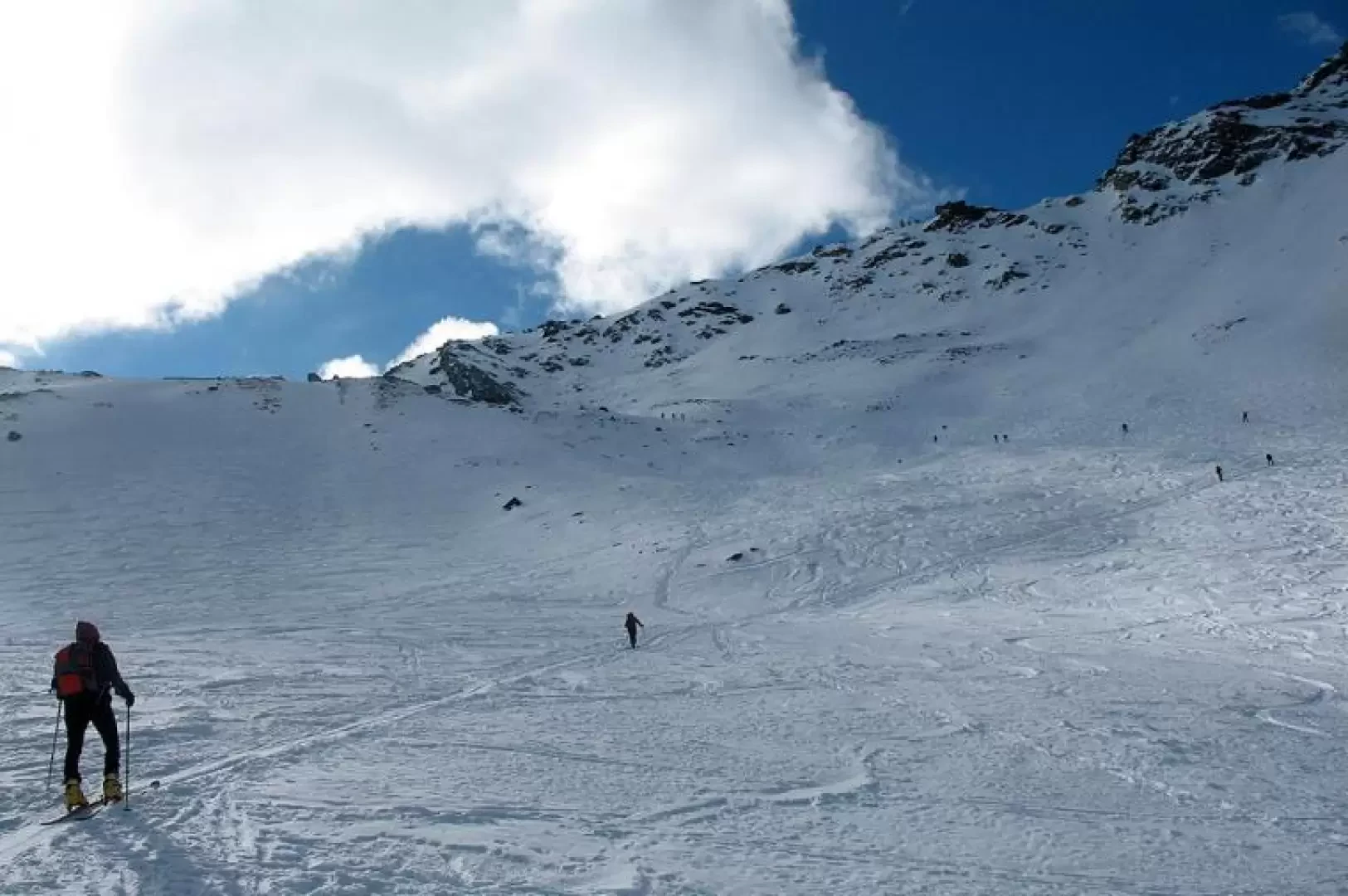
From Bruil (1723m), follow the snowshoe trail to the [[Entrelor]] pastures (2142m). Continue along the wide valley, keeping slightly to the right. You then enter a small flat valley (about 2900m) and turn left to avoid steep slopes. You now climb the slopes of the Entrelor glacier, leaning to the right. At an altitude of 3200m, tackle the steep slope (PD, S3/S4, only with very sure-footed snow) that leads to the col between the anticima and the summit, which is reached in a short walk to the right (3426m). With unsafe snow from the plateau at 3200m, turn left onto not very steep slopes to reach the North Anticima (3397m).
