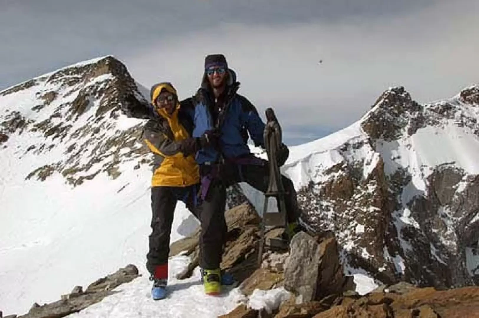
Punta Giordani

Edited by:
massimocomotti
Updated at: 29/07/2024
Introduction
Using the lifts and off-piste routes of Monterosa Ski, a 900 m ascent results in an approx. 3200 m descent.
Description
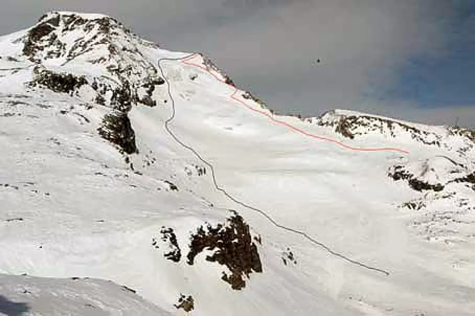
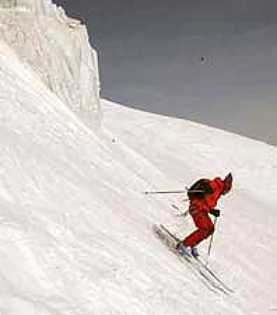
From the Salati pass, descend down the Vallone d'Olen to meet the lifts coming up from Alagna Valsesia. These take you to Punta Indren (3150m). Climb up the Indren glacier in a north-easterly direction, pass the disused ski lifts, and keeping to the right of the seracata reach the rocky outcrop of Punta Giordani (4046m). (a few metres of easy but exposed rocks to the high point). Descend, traversing below the terminal of the [[Vincent Pyramid]], to the rocks of the south ridge. Descend looking for the best snow and take the gully (200m 40°/45°) between the rocks and the serac. Keeping to the right, leave the Indren glacier below the Rifugio Città di Mantova and head west towards the Altaluce slopes. Traverse first southwards, then south-westwards and reach the upper Salza col. Descend the entire Salza valley to the moraine of the Lys glacier. Cross the moraine and head westwards to reach an aqueduct water intake. Descend into the woods and return to Staffal.
.Galleria fotografica