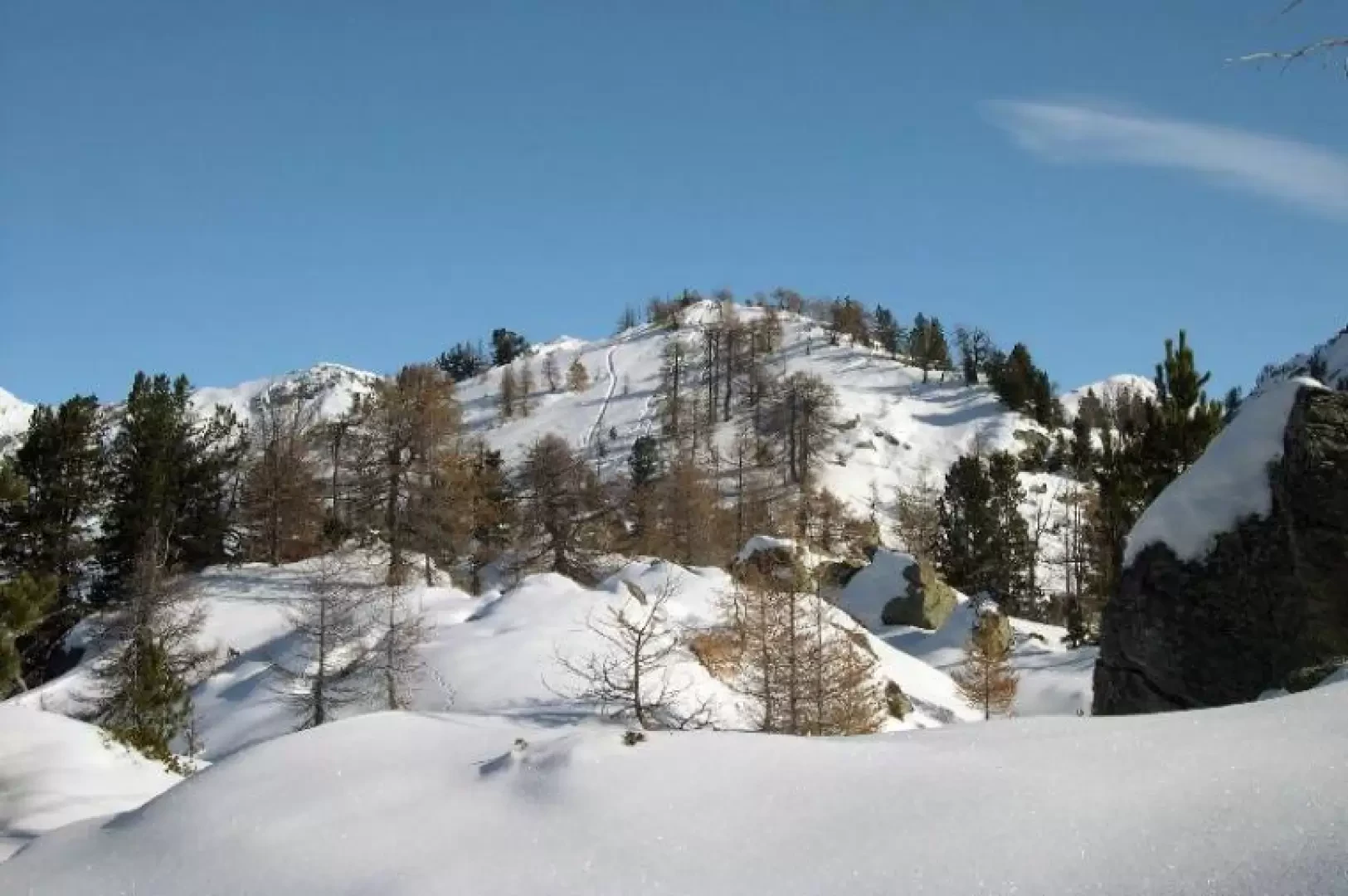
Punta Leretta, from Coumarial

Access
Leaving the motorway at the Pont-Saint-Martin toll booth, after 100m turn right and you will come to a first roundabout: take the second exit. A little further on you come to a second roundabout: take the third exit, and you enter the centre of Pont-Saint-Martin. After a few hundred metres you come to the start of the road to the Valle del Lys: turn right and follow it for 10.2km, passing the villages of Lillianes and Fontainemore. About one kilometre after the village, turn right and follow the signs for Pian Coumarial. Cross the Lys river and climb up the municipal road for about 7.3km, passing in sequence the villages of Colombit, Pacoulla, Pianpervero, Jugeo, Chouchal, Pra Dou Sas, Cios, Challasc, Colla, Grange, Savaroy, Goy and Pian Coumarial until you reach the large car park at the end of the road.
How to get there with GMaps
How to get there with Apple Maps
Introduction
This winter trip is ideal for beginning ski mountaineering because it takes place over meadows and through sparse forests with no danger of avalanches. The final section follows a ridge with a passage that is not too easy.
Description
From the Pian Courmarial car park, follow the cross-country road for a short distance. At the first crossroads, turn right and continue along the cross-country road, leave a branch-off to the right and continue to the open slopes of Alpe Vercosa. With plenty of snow, you can go directly up the meadows on the left as far as Alpe Leretta; with less snow, it is convenient to follow the road, reaching the same point by a longer route. From Alpe Leretta, climb up the beautiful clearing until you enter the forest. Move to the left and climb up the larch wood in the direction of the ridge, cross to the left and, passing just below the ridge under some rocks (stretch to be done with a little care) you will reach the wide ridge and the summit. It is possible to continue along the crest, descend slightly to a col and ascend to a second peak. The descent is made along the ascent route.