Passo di Sona, from Contrada Biorca

Edited by:
Marco Bonati
Updated at: 06/05/2026
Access
Introduction
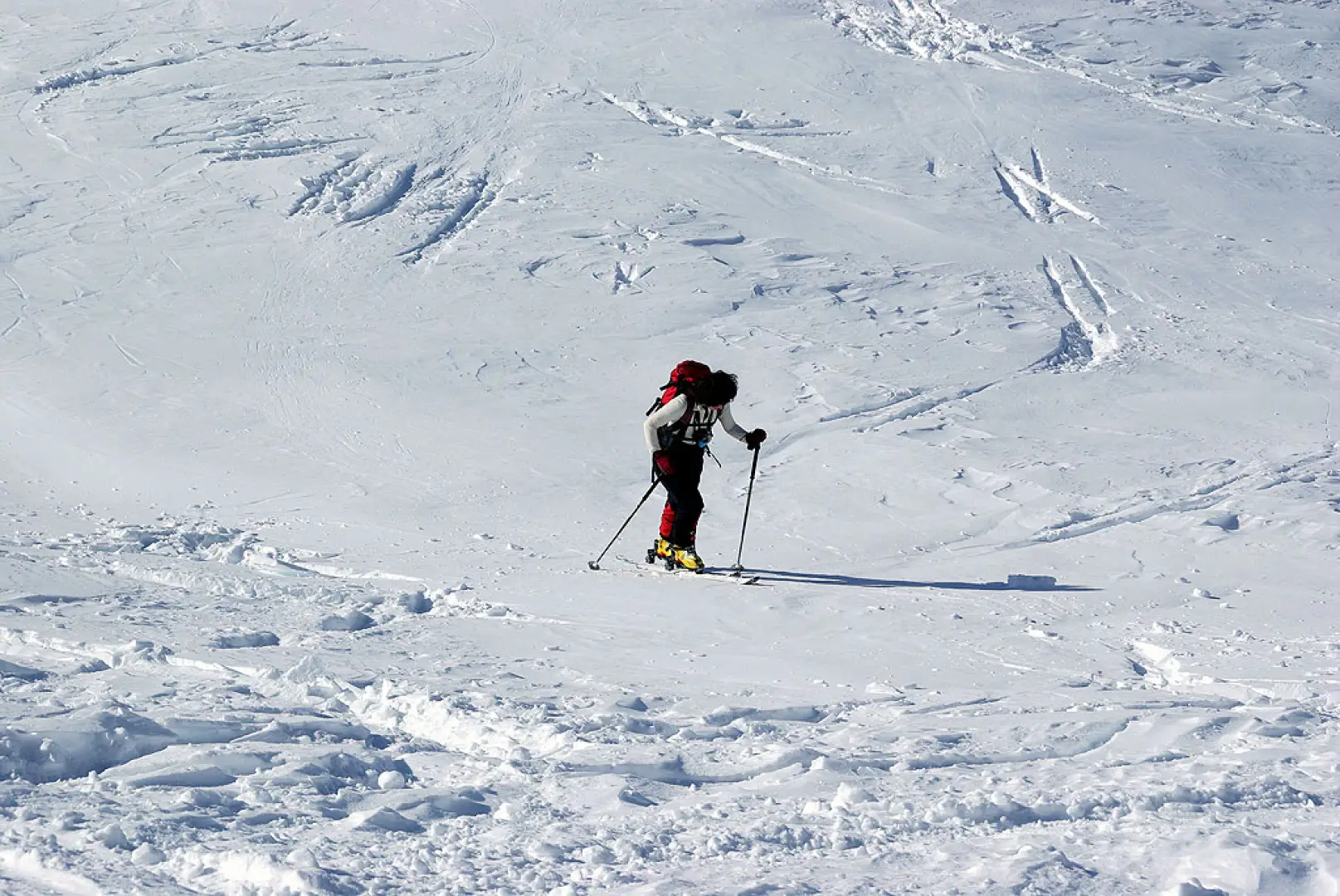
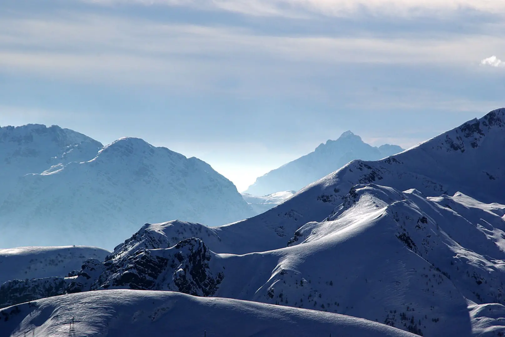
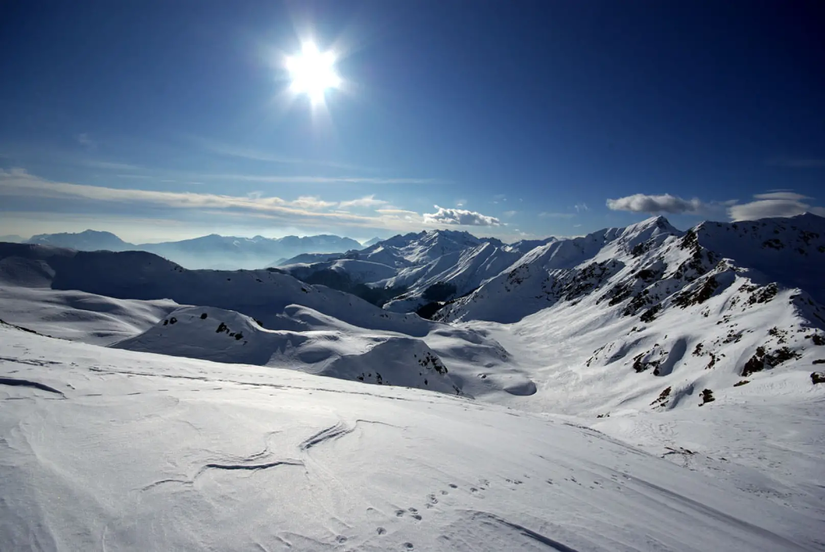
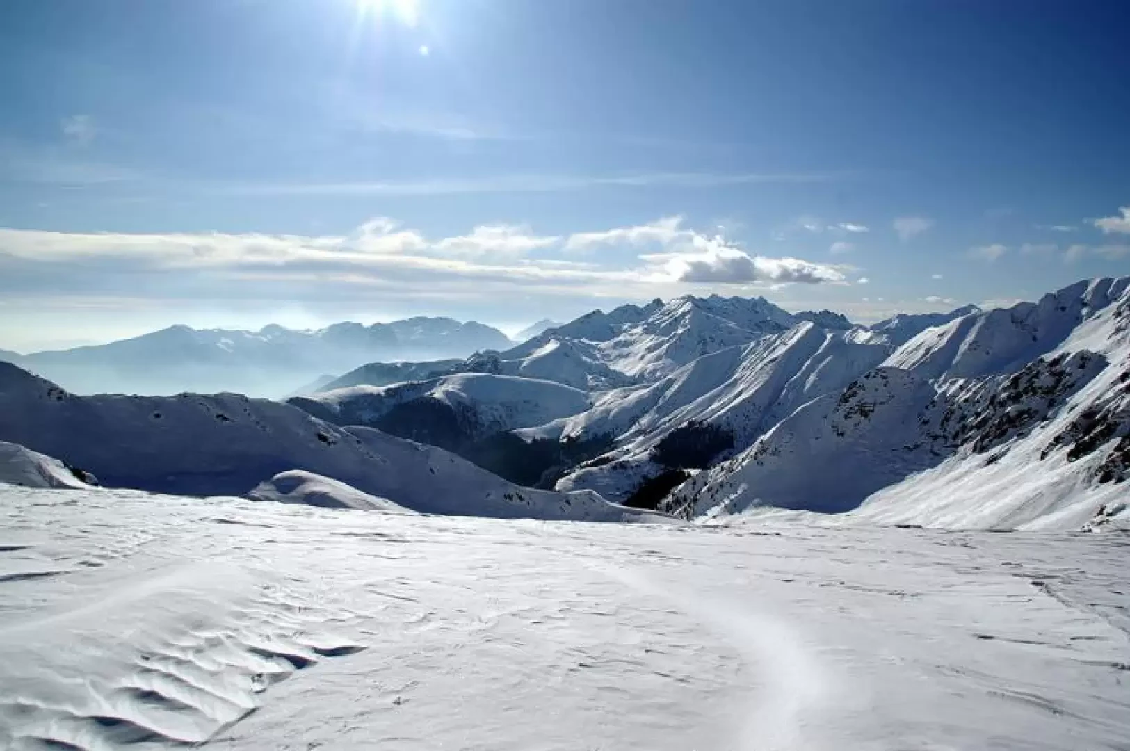
Beautiful but inexplicably half-known hike, which reaches a pass of local importance (link between alpine pastures) that is neither shown nor listed on maps. A long initial section of shifting maintains a sufficient gradient for fast downhill glides; then the rest is on ideal terrain with a steep section (the ascent is made here with sharp inversions spaced a few metres apart), to come out on the vast open plateaus, where the panorama makes you forget even the effort.
Description
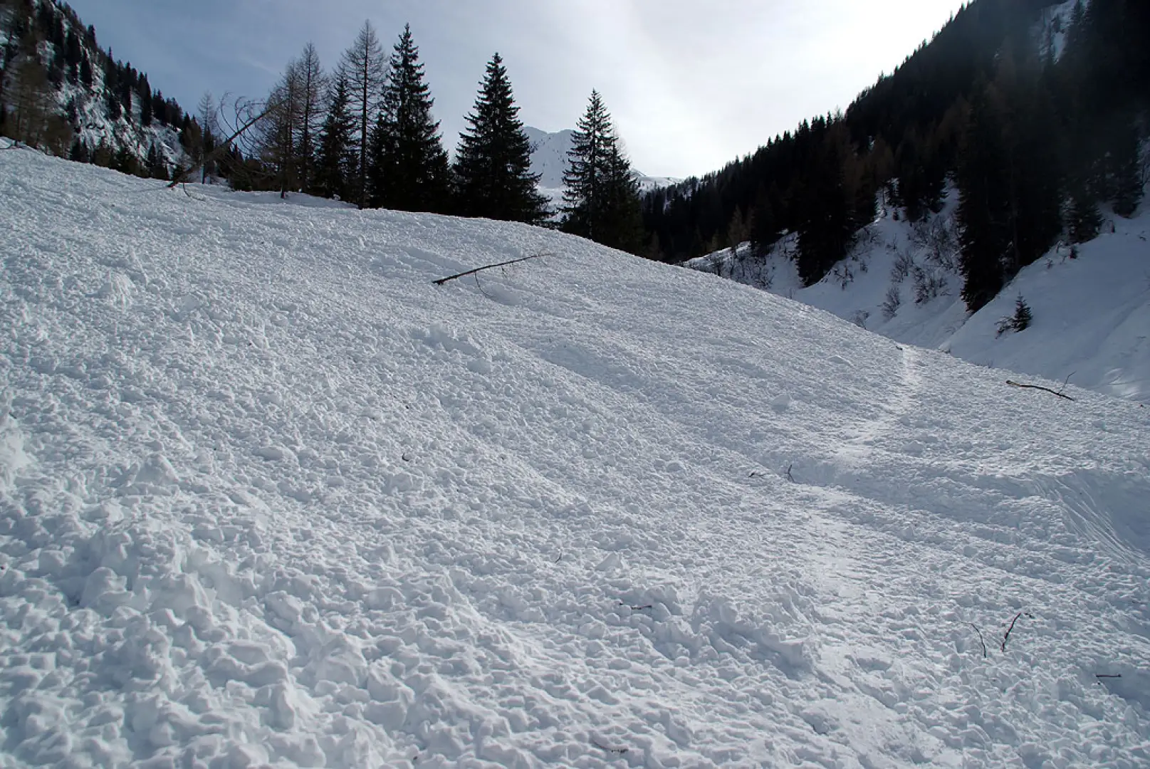
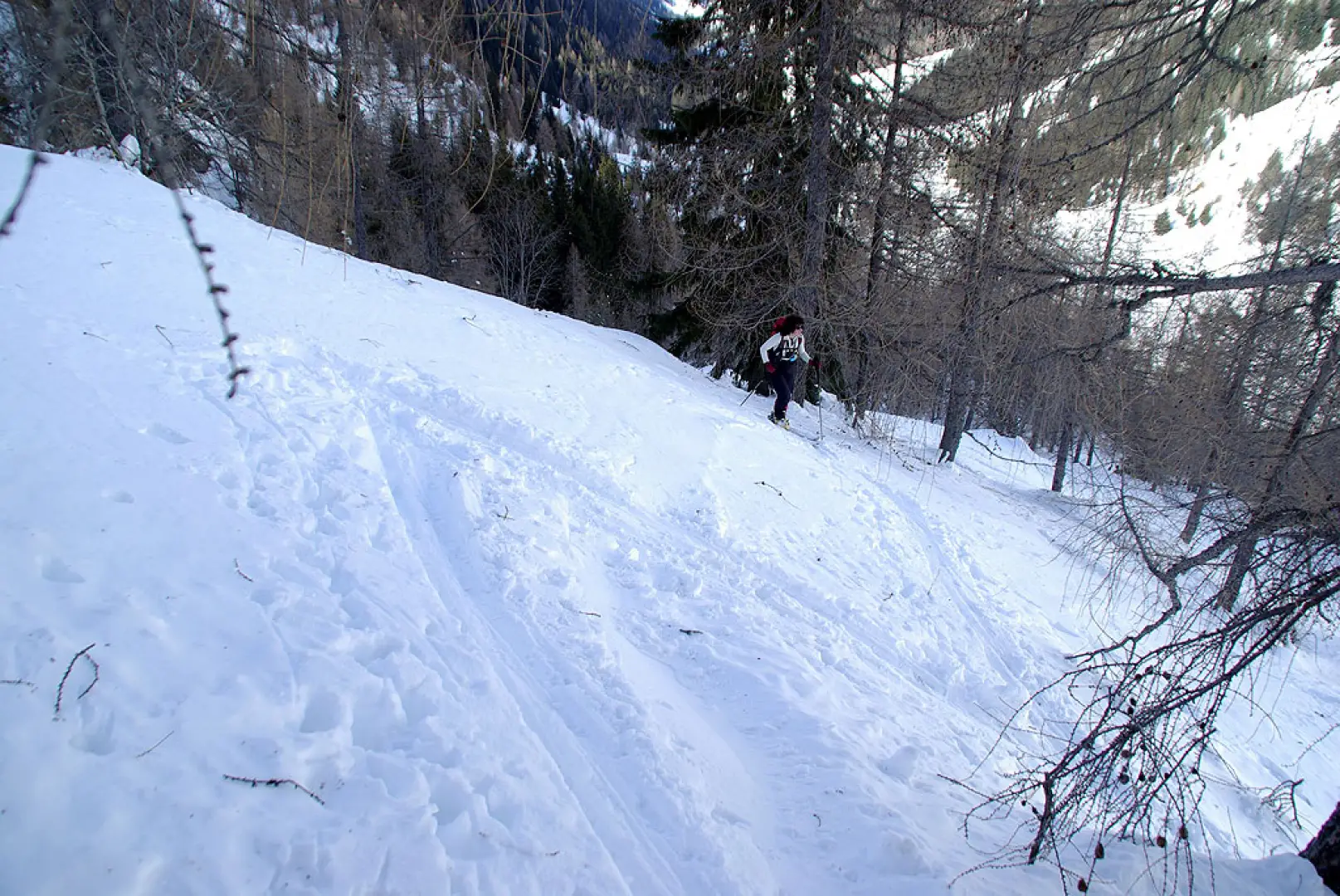
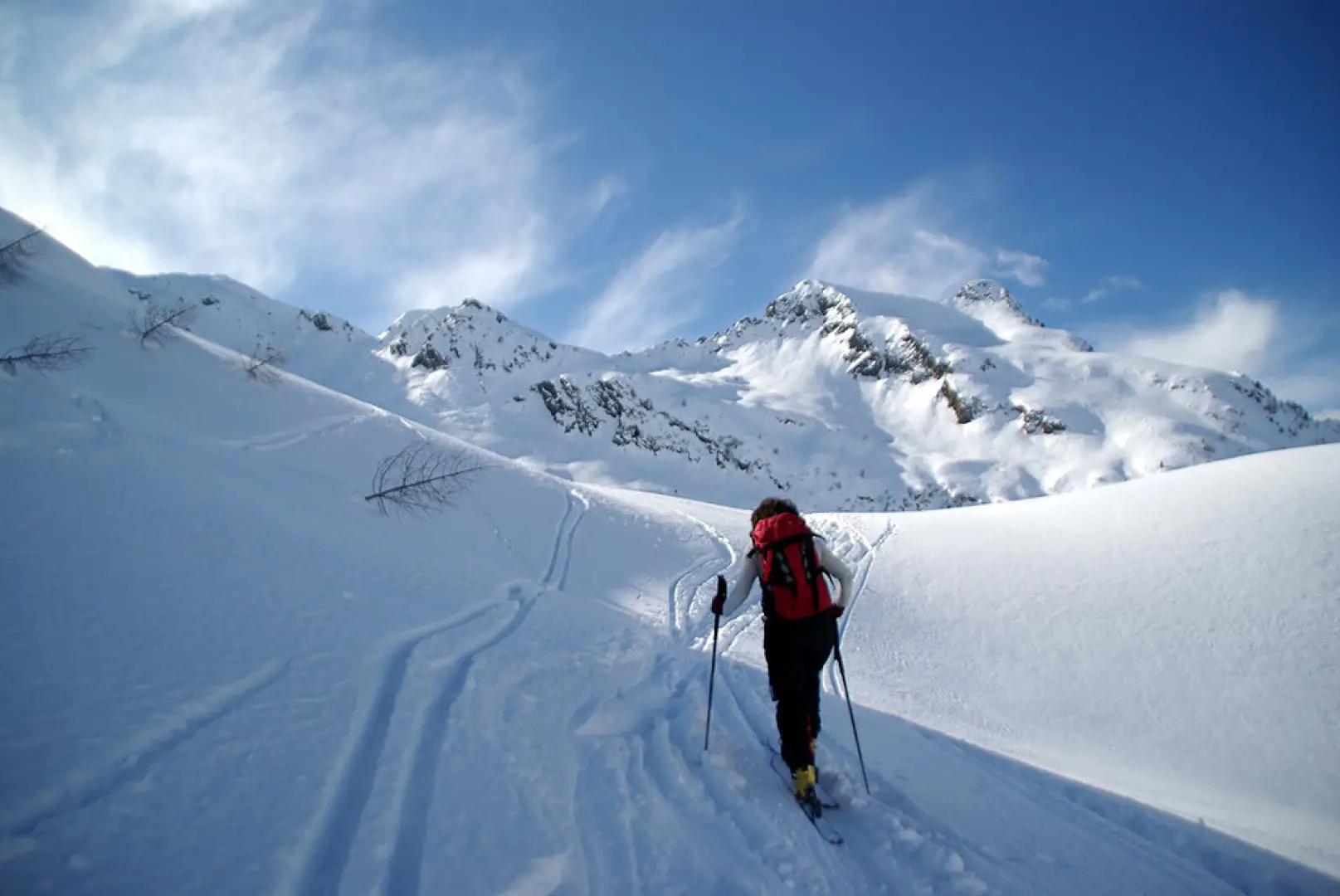
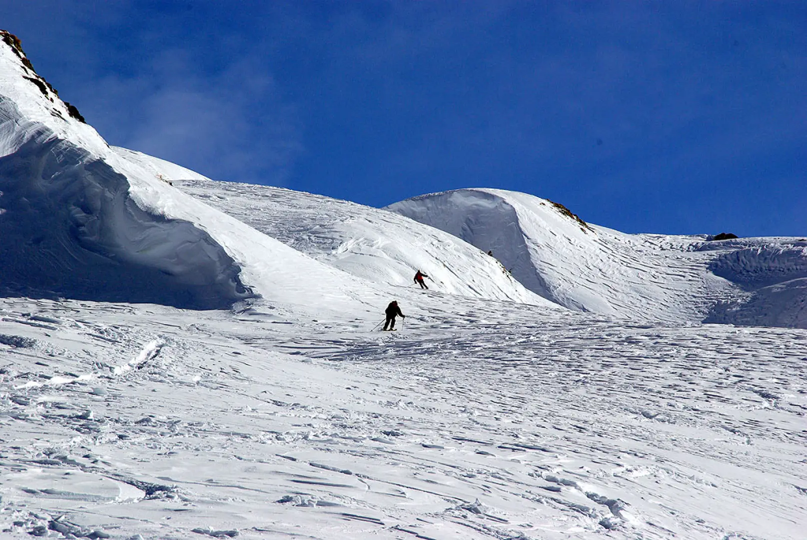
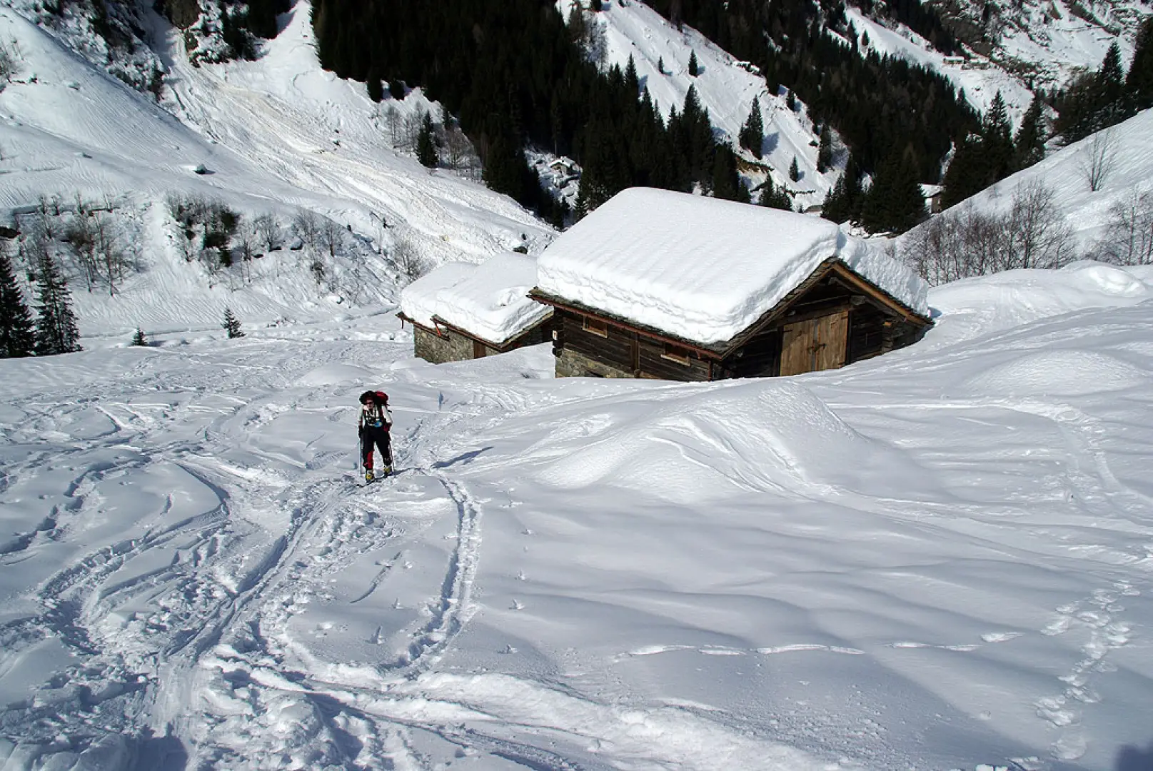
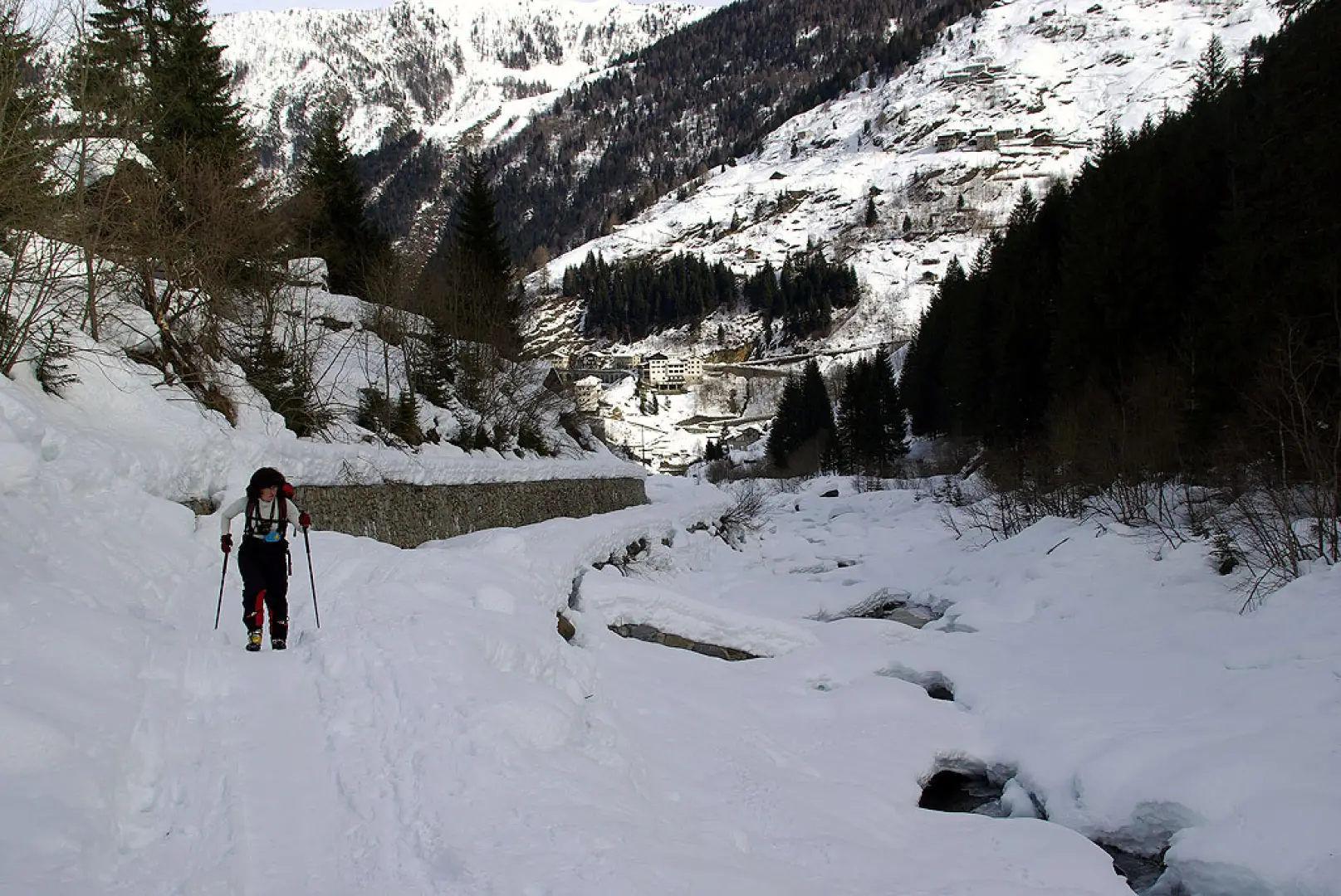
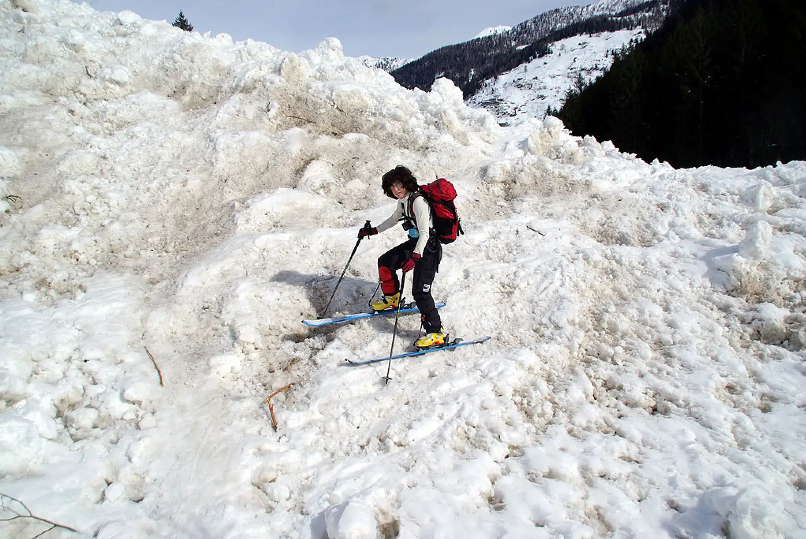
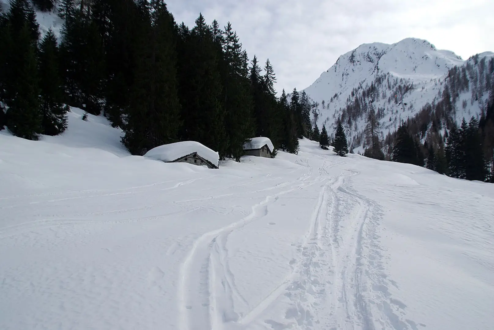
From the snow-covered car park of Contrada Biorca 1140m, follow the forest track to the signposted junction - Parco delle Orobie Valtellinesi signpost - near Contrada Bagini; cross the stream over a narrow, snow-clogged bridge and begin to climb among the scattered huts of Contrada Barbera 1298m (some dating back to the 18th century). In a short time, the slope decreases and the trail follows a gentle ascent along the Val di Lemma, until it reaches the two huts of the Casera di Sona Bassa 1582m, recognisable also by the presence of a small cable car. The section described so far - technically very easy - should be climbed when the snow is very stable or, better still, when the numerous gullies have already emptied. Continue along the valley floor past the huts to about the height of the Casera di Lemma Bassa, where you turn right and ascend the steep forest of sparse larch trees along a rounded hump between two valleys (the right one is deeper, and can be climbed carefully downhill). At the presumable altitude of about 2000 m, the slope begins to drop and the spaces open out onto the upper pastures of Sona Alta. Proceed in the middle of an unforgettable panorama, keeping to the left, until you reach a hint of a ridge between Pizzo Vallone 2249 m and Cima di Lemma Occidentale 2266 (a name not mentioned on the maps and known locally as "Piz de Caviscioela"). The descent is on or near the outward route, with long, steep sections (approx. 35°/40°) of powdery snow.
.Galleria fotografica