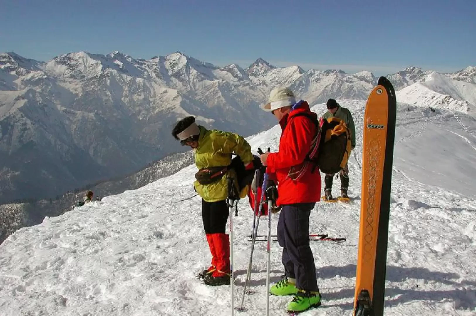
Monticchio, from Sella del Cucco

Introduction
Monticchio is not a particularly high peak, but it has splendid south-facing slopes, suitable for both ski mountaineering and snowshoeing. Even in heavy snowfall, the route does not present any particular dangers; the meadows around the central alpine pasture (Pian Musin, a soft plain due to the particular conformation of the water-soaked ground) are white with daffodils in May. There is a spectacular panorama from the summit: to the west, the high Oropa basin and the mountains of the upper Cervo valley that form the watershed with the Gressoney valley; further north, the border is the Valsesia, to the east are the Bielmonte facilities, to the south the Vercelli and then Turin plains; on clear days the view sweeps as far as Monviso, the Ligurian Alps and the Apennines.
Description
From the Sella del Cucco saddle, in front of which there is a mini picnic area, climb northwards beyond the birch grove, keeping slightly to the right, until you see the peak in front of you; this is a route dear to the Biellese, who repeat it even twice, and it is difficult not to find it marked. The slope after the first section becomes gentle and crosses the wide meadows of Prà Musin; keep to the right and when the terrain becomes steep, continue with a few simple turns until you reach the peak above you. Descent: either by the ascent route, or more to the right by descending, as far as behind the Pian Musin farmstead; the slope is so wide that everyone can find their own best route. If you have left your car at the upper car park, an area with a monument and a long farmstead halfway up the slope, cross the road and head west until you climb up the evident ridge, following the tracks coming from the Sella del Cucco.