Monte Berlinghera, from San Bartolomeo

Access
Follow the 'Regina' state road to Gera Lario; at the bridge over the S.Vincenzo stream, turn towards Montemezzo. The road, always asphalted, becomes steep and climbs up the wooded slope with long traverses; at every fork, always well indicated, you must follow the direction for San Bartolomeo. The road, which is open to public traffic, ends at the little church. There is a parking area in a very scenic grassy widening, near a trampoline for paragliders.
.Introduction
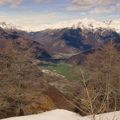
A hike of panoramic interest, because the peak, despite its modest altitude, is isolated at the convergence of Valtellina and Valchiavenna in the Lake Como basin. On the summit are the remains of an Alpine memorial chapel, razed to the ground by lightning several years ago.
Description
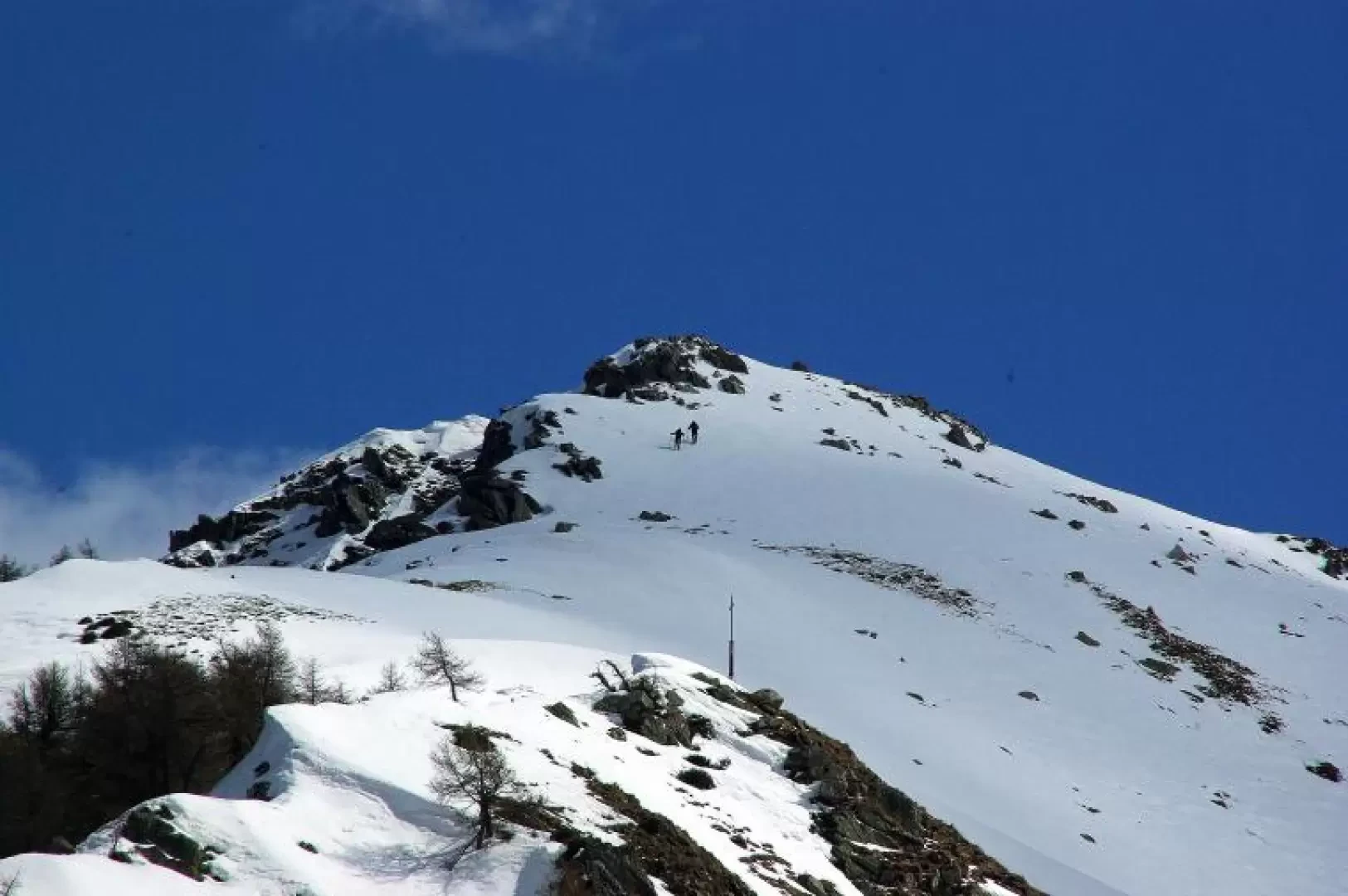
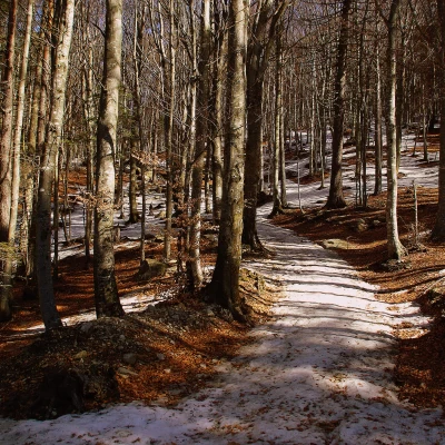
From the car park 1204 m, near a drinking fountain and the signs for the Alta Via del Lario, which begins here, take a wide path that enters the pine forest. Flanking a few small villas, proceed diagonally to the left until reaching a forest track that you follow in the same direction until reaching the wide pastures of Alpe di Mezzo 1538 m and Pescedo 1559 m. At this point, neglecting the two mountain pastures, climb up to the centre of the basin towards Bocchetta Chiaro 1666 m, clearly recognisable by the presence of a high-tension pylon. From here - the summit of Monte Berlinghera is already visible to the east - we tackle the WNW ridge. If the amount of snow permits, you can follow the tracks of the summer trail among the increasingly sparse larch trees up to a cross halfway along the route; beyond this, on a gentler slope, you ascend to the rocks of the wide 1930 m summit along a south-facing sloping shoulder.
NOTE
The difficulties (and consequently the equipment necessary for the ascent) of this excursion are very variable, depending on the condition of the snow. It is possible to find the path in an almost summery clean condition due to wind activity; often just before the cross - a key section - the wood turns into an icy 45° slope where crampons and ice axe are indispensable (even if only for a short stretch). It is possible - with very stable snow - to ski down the south slope directly from the summit to Pescedo (35° - 40°).
Summary: EE to F+. Ski mountaineering BSA to OSA.
Exposed sections:Icy slope
Maximum slope:45°
Equipment:Snowshoes, crampons


