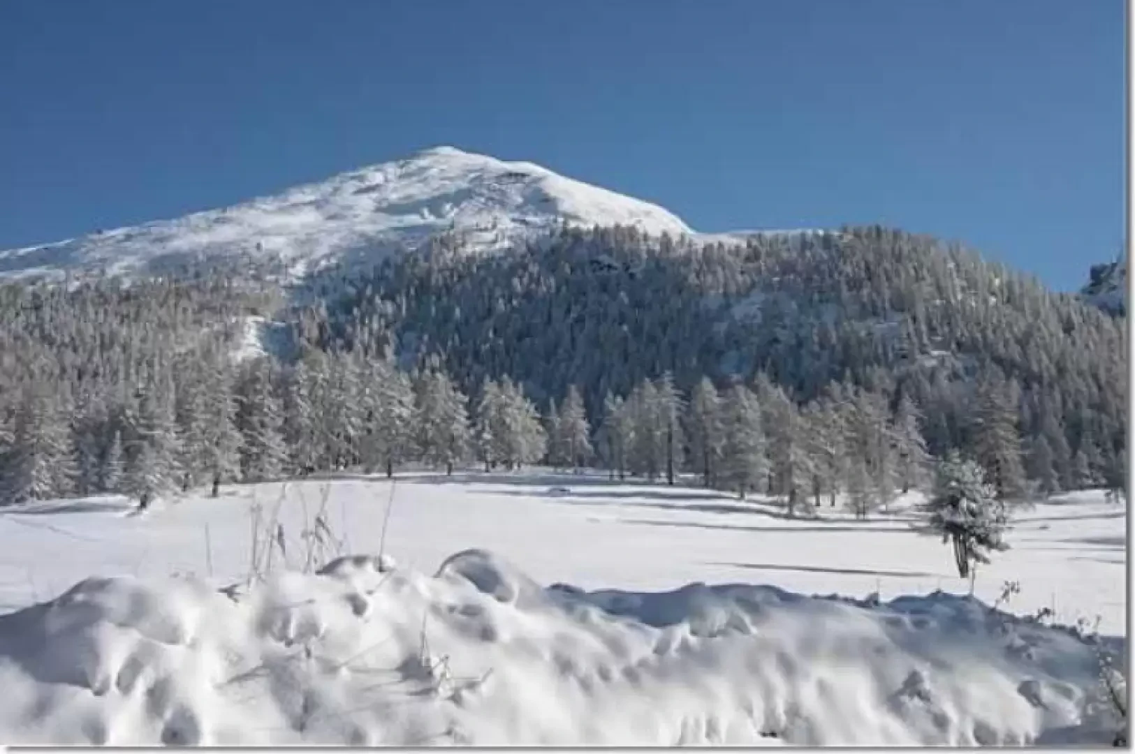
Mont Bieteron, from the car park at Fenillettaz

Edited by:
Sergio Enrico
Updated at: 08/04/2025
Access
All’uscita dello svincolo autostradale di Verrès, entrare nella rotatoria e prendere la seconda uscita, in direzione del centro storico. Proseguire per circa 300 metri, quindi svoltare a sinistra per imboccare la Strada Regionale in direzione Val d’Ayas. Seguire la regionale per 16,5 chilometri, superando i caratteristici borghi di Challand-Saint-Victor e Challand-Saint-Anselme, fino a raggiungere Brusson. Attraversare il centro abitato di Brusson e, poco prima del bivio per il Col de Joux, svoltare a destra per prendere la strada comunale per Estoul. Continuare a seguire la strada comunale per circa 7 chilometri, oltrepassando il piccolo villaggio alpino di Estoul, fino a raggiungere un ampio parcheggio 🅿️, dove è possibile lasciare l’auto.
🚫 Il punto di partenza dell’itinerario non è raggiungibile con i mezzi pubblici, quindi è necessario utilizzare un mezzo privato.
Distanza e tempo di percorrenza
🕒 Tempo di percorrenza: 38 minuti
📏 Distanza: 22,5 km
Navigazione GPS
📍 Come arrivare con Google Maps
📍 Come arrivare con Apple Maps
ℹ️ Nota importante
Le indicazioni fornite sono state verificate alla data del rilievo dell’itinerario. Prima della partenza, è consigliabile verificare eventuali variazioni del percorso. Per ottenere indicazioni aggiornate e dettagliate, si consiglia l’uso di Google Maps o Apple Maps.
Introduction
Short but very pleasant excursion.
Description
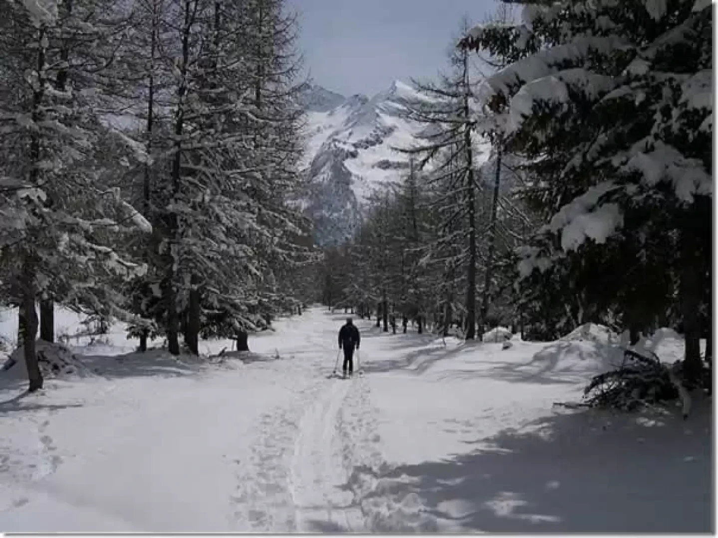
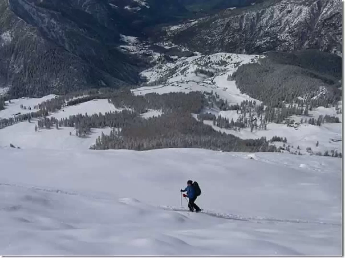
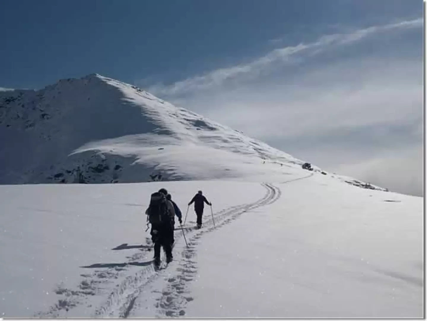
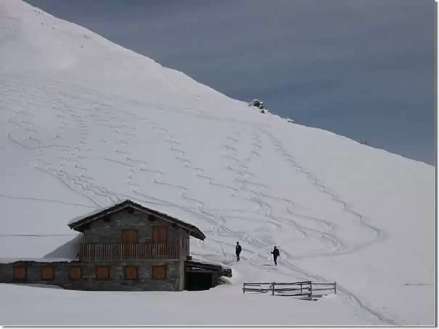
From the car park, follow the gentle slopes to the left until you reach the ski slope; follow it almost to the arrival point of the ski lift. Deviate to the right and climb up until you reach the arrival point of the chair lift with a traverse to the left. Continue along the wide ridge until reaching a large hut. From the hut, climb up the beautiful slopes, which, with a few steeper sections, lead to the antecima where you normally stop. If you wish, you can follow the rocky ridge for a stretch with skis on your back and then climb the last steep slope to the summit.
.Galleria fotografica