Lago Bianco, from Isola

Edited by:
Marco Bonati
Updated at: 29/11/2025
Introduction
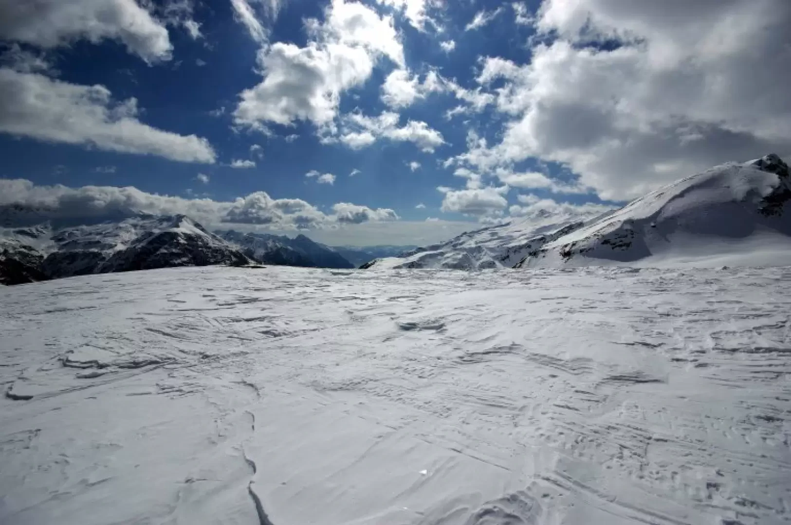
A hike that is always feasible, as the steepest sections take place within a sufficiently sparse larch forest. The route on the summit plateau (Piano dei Cavalli) requires good visibility to maintain orientation. The destination - Lago Bianco - is indistinguishable due to the thick snow cover that always characterises the area. Extending the uphill route by at least another two hours, it is possible to reach the summit of Monte Bardan 2845m.
.Description
From the slopes above Isola, near the old disused ski lift, go up the glades in a west-north-west direction until you meet the track of a forest track that has always been beaten by snowmobiles; shortening the route with effective hairpin bends, you arrive at a modern stable at the end of the track. Proceed to the right along gently sloping valleys between the tops of young fir trees submerged in snow, until you find yourself at the foot of a long ridge that must be reached with a rather delicate traverse (ski knives are sometimes useful): the ridge is actually the northern edge of the Piano dei Cavalli. From here, the entire plateau is traversed with a constant gentle slope, looking for the best route among the rounded bumps and karst depressions - dolines - that characterise the area, until reaching the Lago Bianco basin, right at the foot of the gully of powdery snow that climbs towards the south ridge of Monte Bardan. Descent along the ascent route.
.