Fenêtre d'en Haut


Edited by:
Giancarlo Beretta
Updated at: 03/09/2024
Introduction
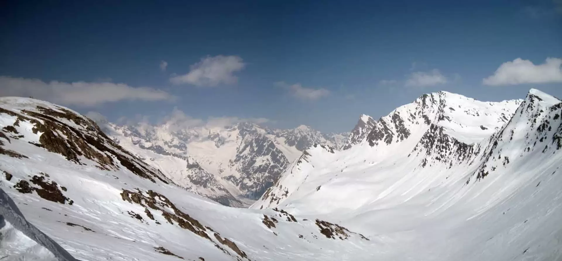
La Fenêtre d'en Haut, also known as Col de Fonteinte, is one of the many passes that allow passage from Italy to Val Ferret on Swiss territory. This ascent takes place in the beautiful valley that leads to the Great St. Bernard Pass, alternating, depending on the snow conditions, between slopes that are never too steep and short stretches of road. The excursion can be considered as a valid alternative to the much more popular itineraries of the Mont Fourchon area, as it is less and less frequented; the track is almost always well beaten up to the Baou huts, while beyond that it may not be, but the itinerary is in any case logical and well marked.
.Description
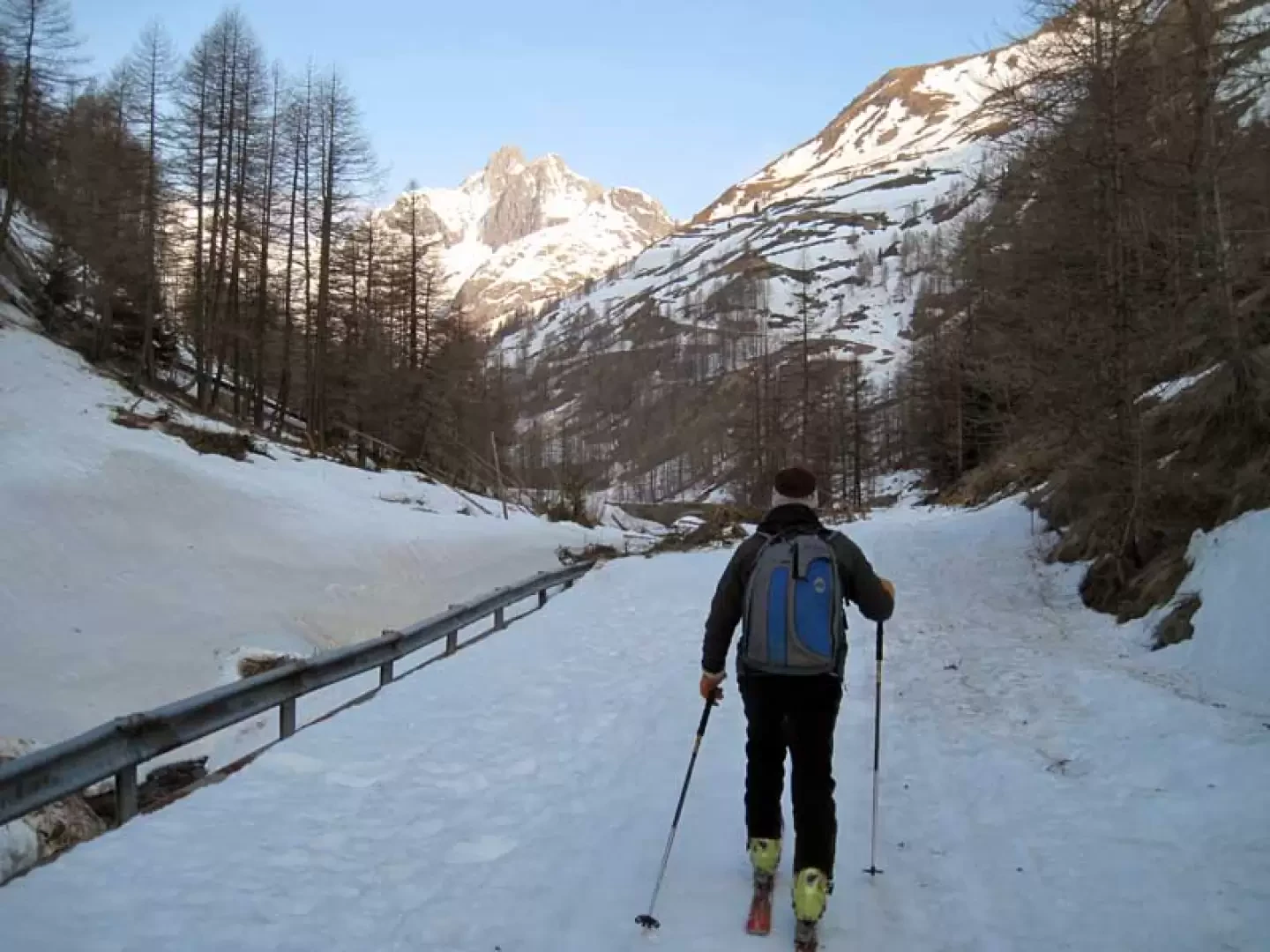
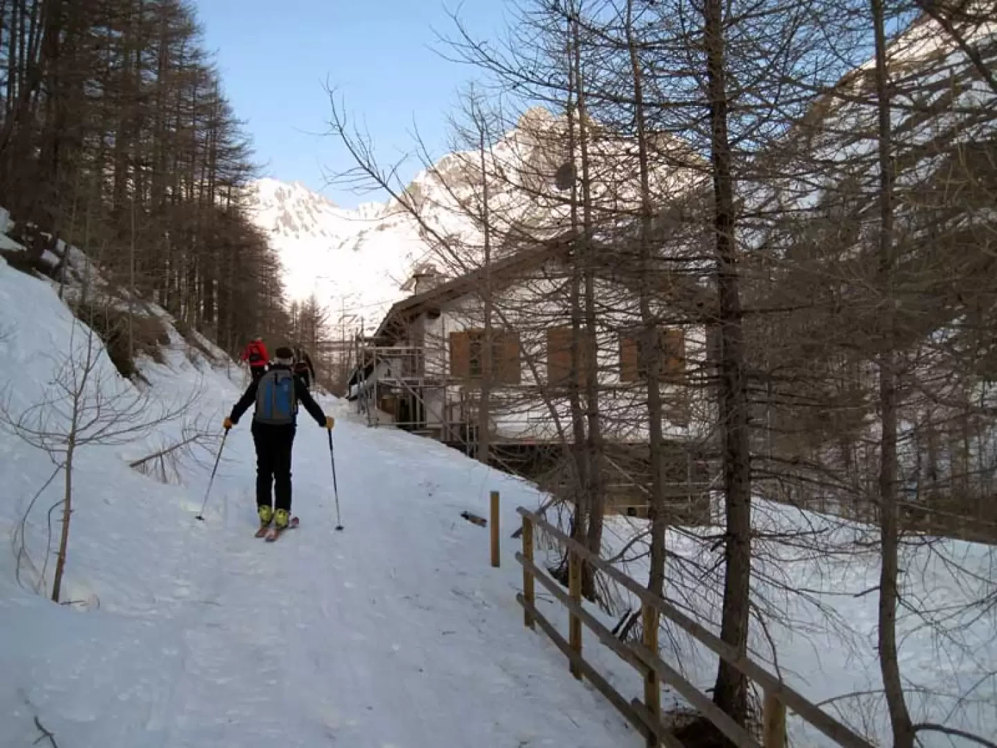
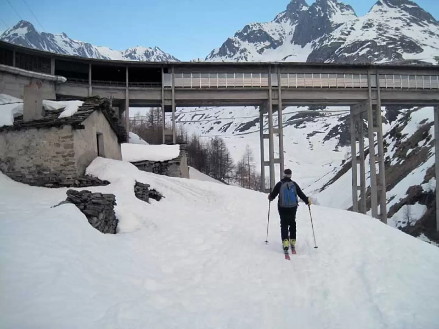
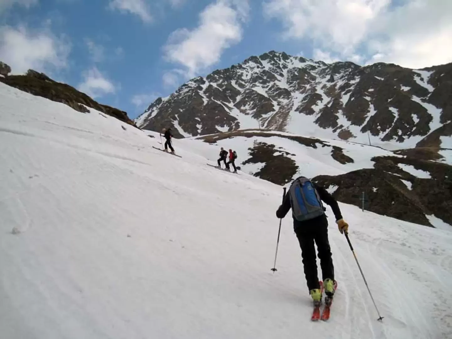
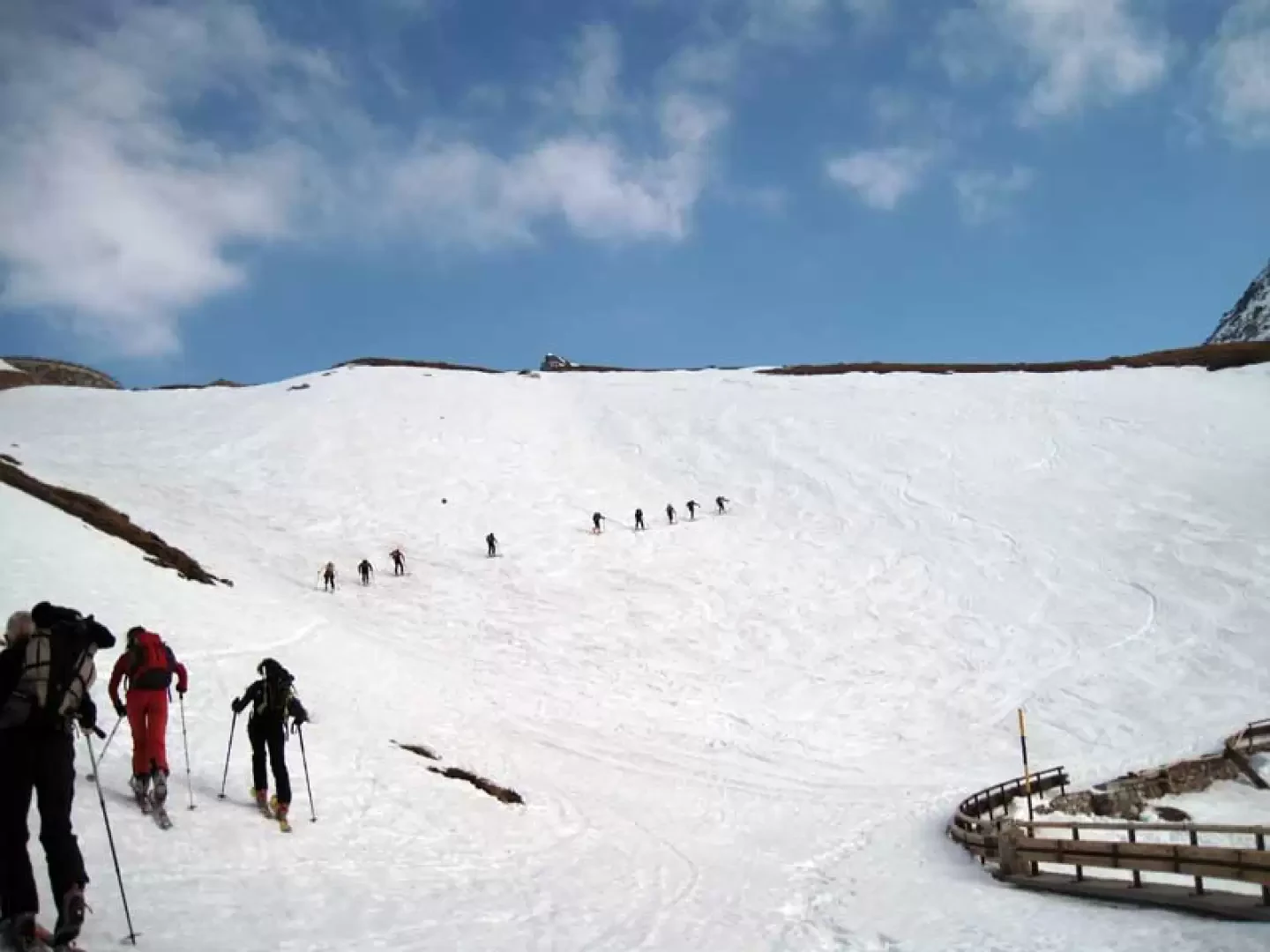
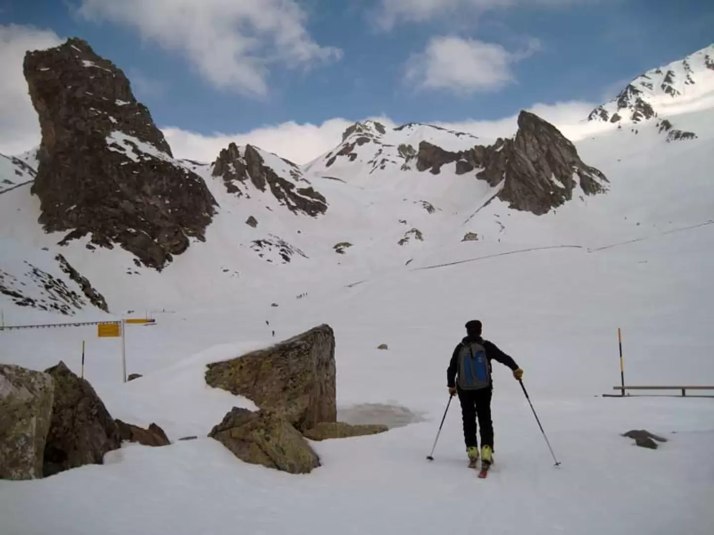
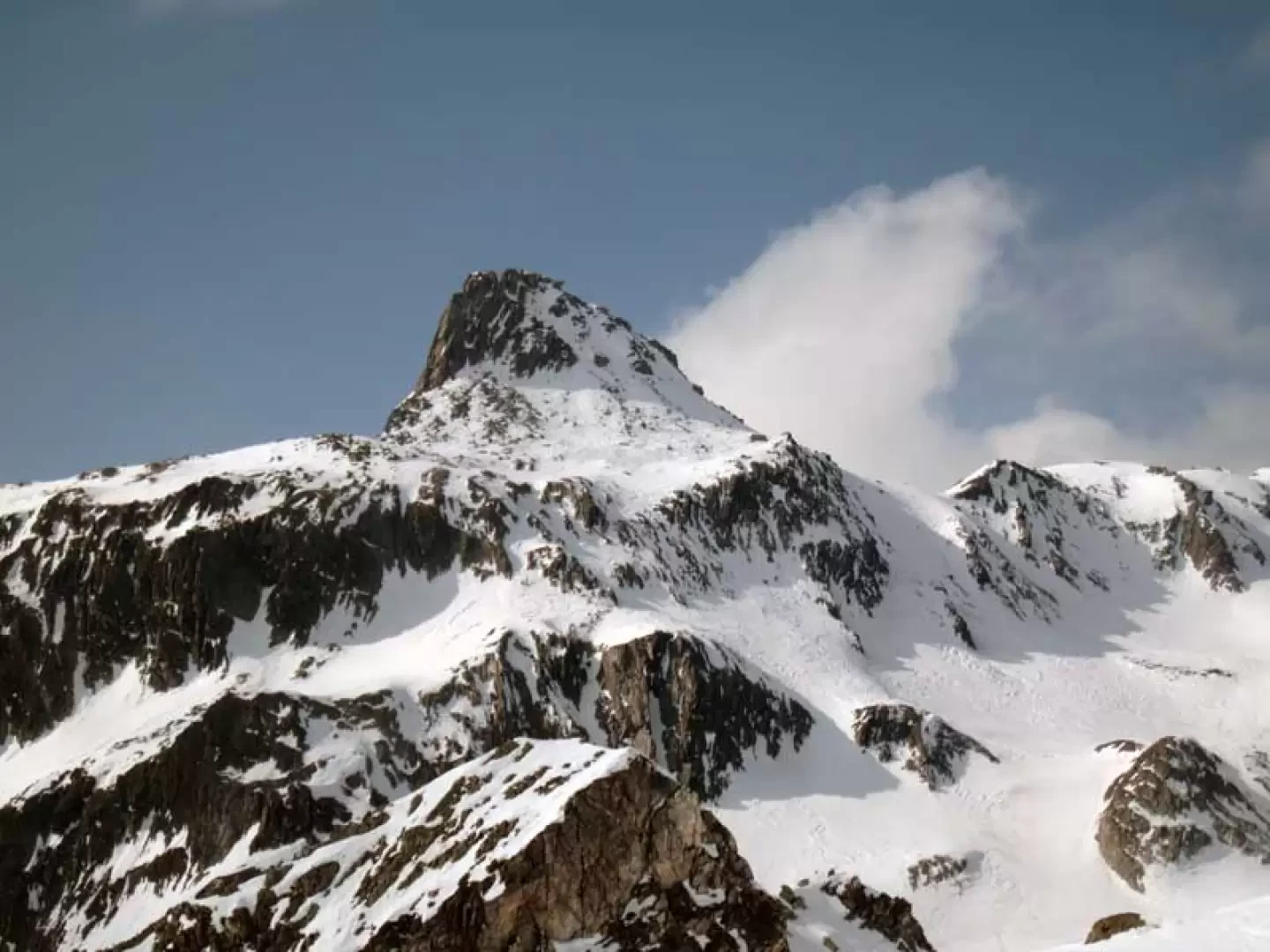
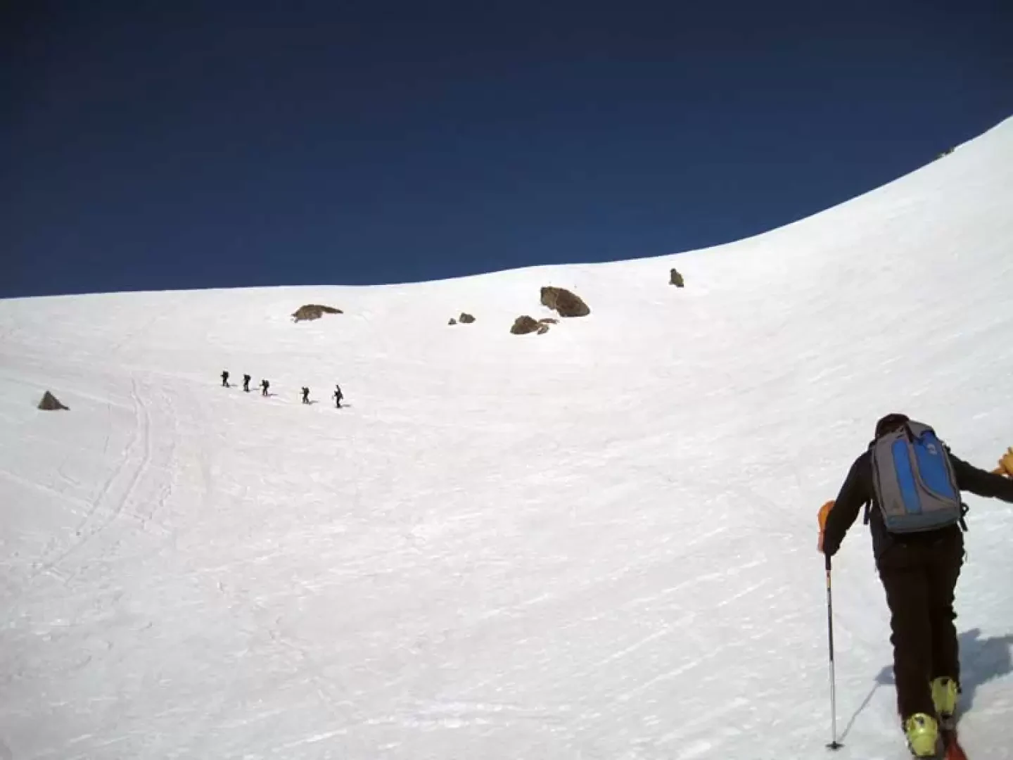
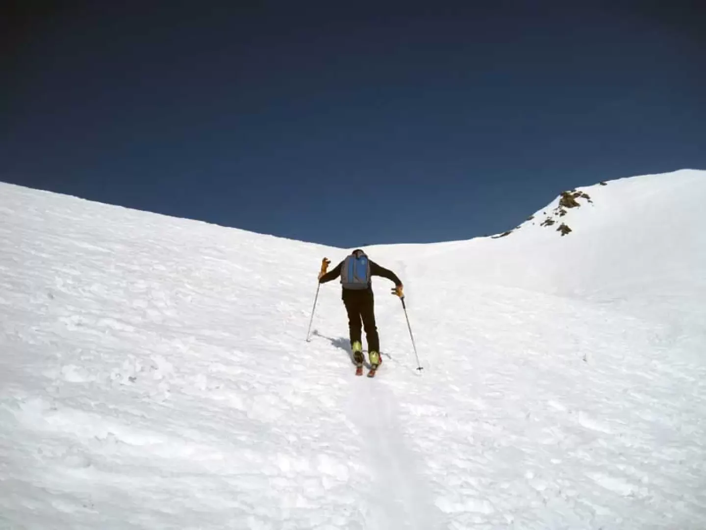
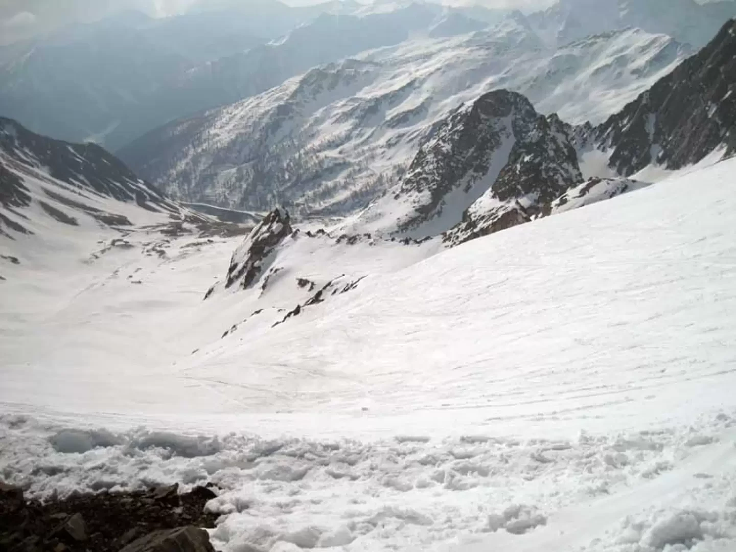
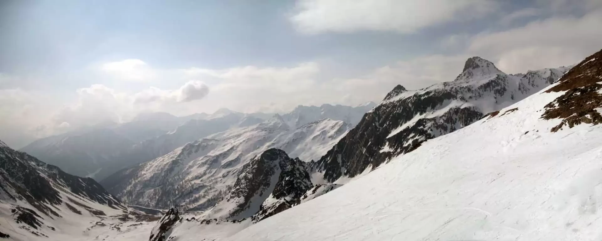
From the end of the road, continue along the snow-covered part that enters the valley where, after crossing a bridge on the left, we turn right and continue slightly uphill through the sparse vegetation to reach the La Tuette hut; after passing it, we continue along an almost straight route, arriving in sight of the viaduct of the Tunnel, passing underneath it near the Ru huts. Now the large valley opens up before us, which at first is covered on the level, remaining more or less in its centre, and then bends to the right, heading for a hairpin bend in the road to the left of a large gully. You reach it after ascending a short stretch that is a little steep and where, more often than not, you have to climb over the guard-rail; you continue on steep ground on the short upper slopes, reaching the road a second time and, beyond this, you make a few hairpin bends to reach the upper gully. The ascent continues in the direction of a hut and in any case, if not visible, in the direction of a large triangular rock that divides the two upper valleys. From the centre of the basin, turn slightly to the right, heading for the wide valley at the top of which you can see the pass that is the destination of this excursion. The ascent is carried out on beautiful slopes that are climbed in wide bends and, just past the halfway point, we move to the left to reach a slightly marked ridge that we follow for a short distance to the right; after leaving it, we traverse slightly uphill to the right to reach the wide valley.
For the descent to Baou, we can choose whether to pass through the uphill valley or, having reached the ridge and continuing the traverse to the right, descend through the adjacent valley, which is usually less marked and with similar gradients. From Baou onwards, depending on snow conditions, you can either descend via the beautiful gully to the left of the first hairpin bend you come to, or, with a fairly long traverse to the right along the road, reach the slopes that descend from the head of the valley between Mont Fourchon and the Aiguilles des Sasses; the latter route avoids the possible crossing of the flat valley floor, where there is a risk of having to push, reaching the ascent route from above.
Galleria fotografica