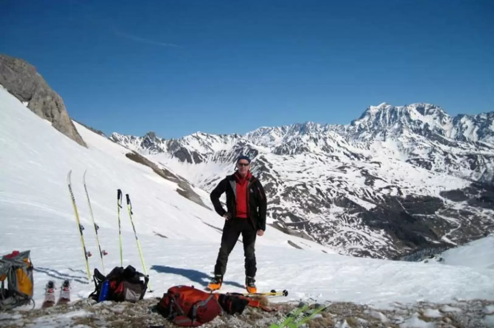
Col Serena, from the Crévacol car park

Edited by:
Giancarlo Beretta
Updated at: 03/09/2024
Introduction
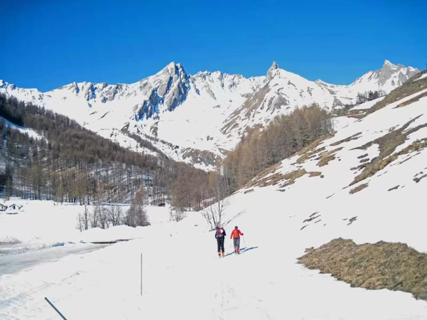
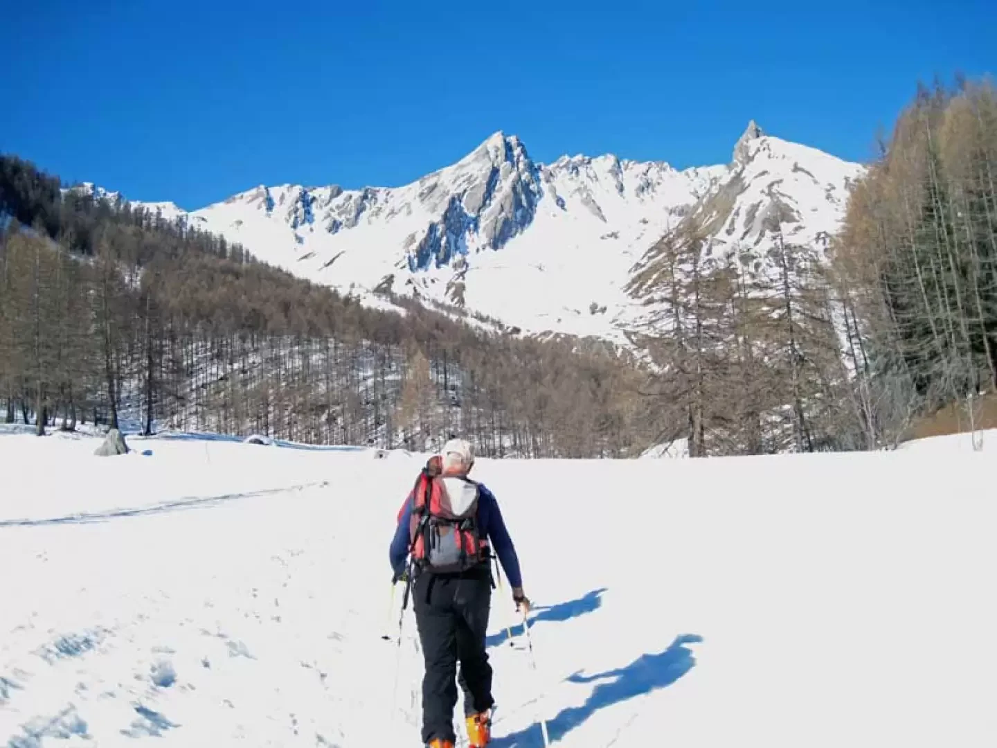
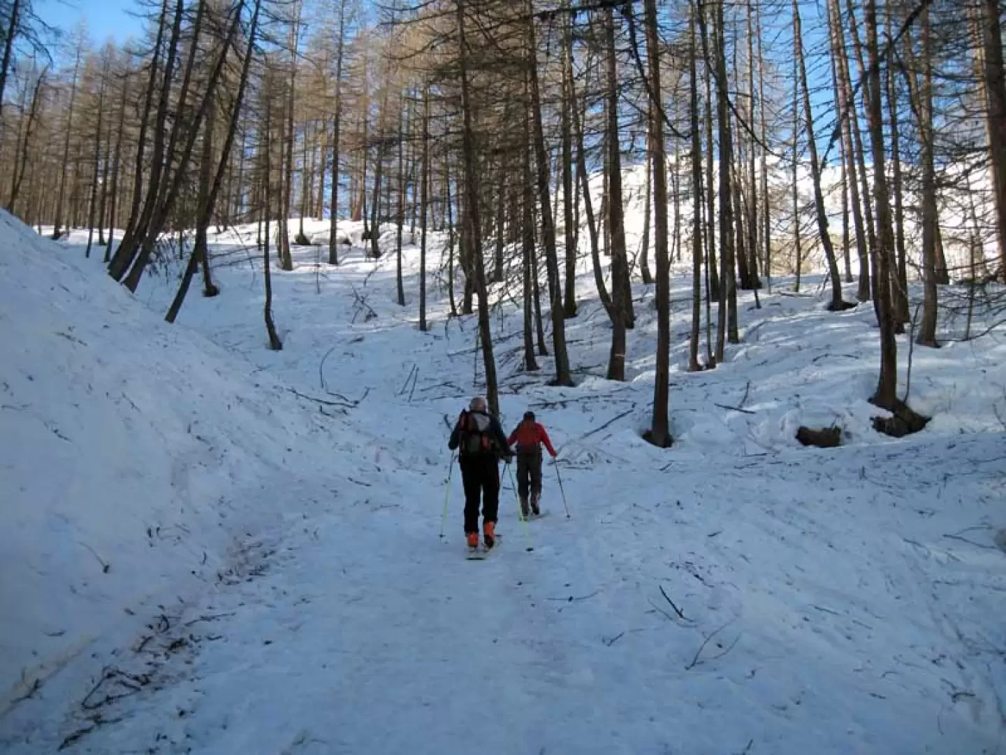
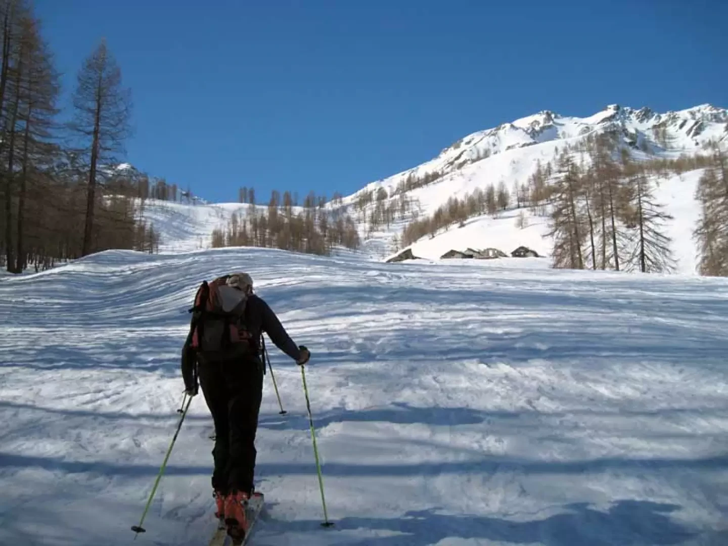
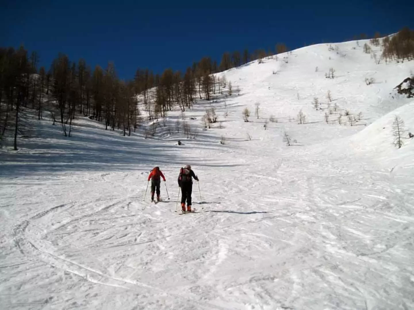
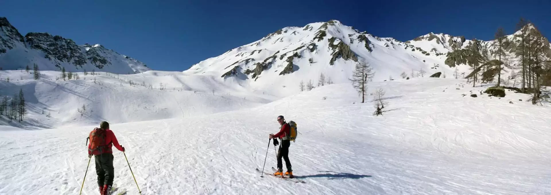
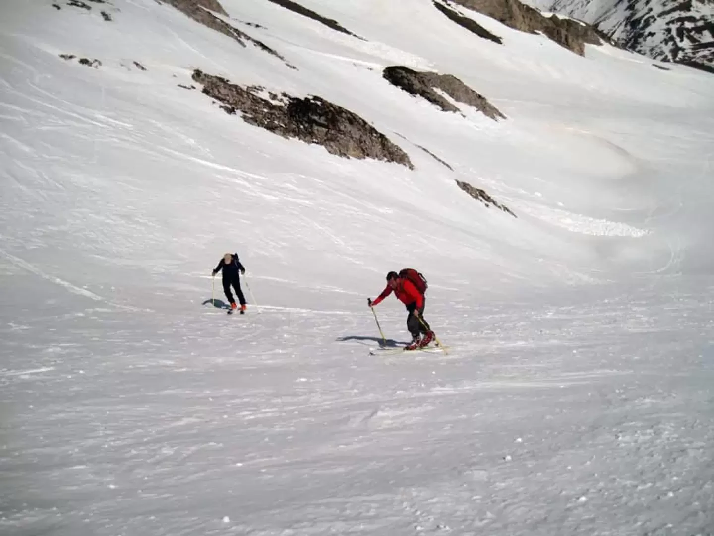
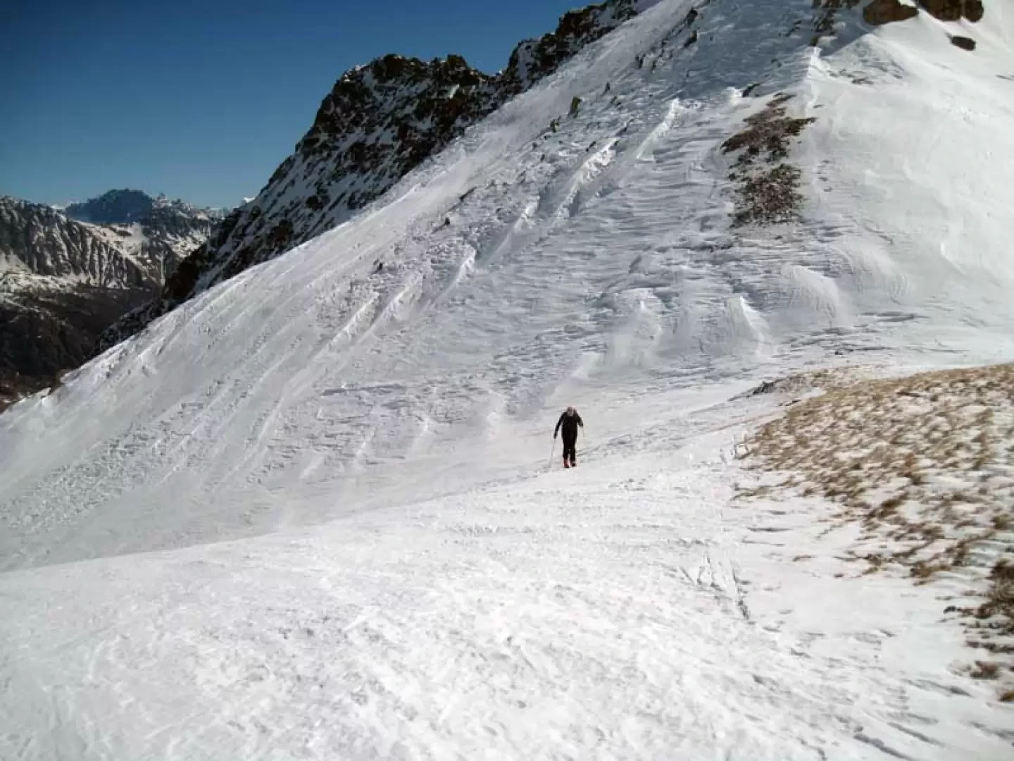
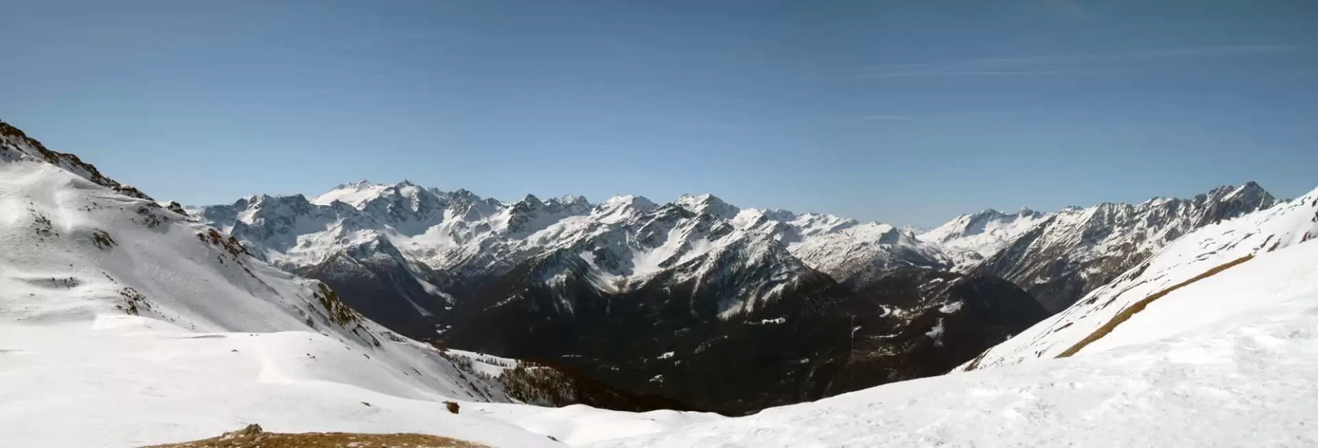
Classic Aosta Valley ski mountaineering trip where you ascend, and descend, on beautiful panoramic slopes that are never too steep; on the way, you come across a few alpine pastures and, once past the sparse forest, wide panoramic plateaus interspersed with gentle undulations. The track is almost always present on the route where, in the event of an unstable snowpack, care must be taken in the upper part where the steep slopes of the surrounding peaks descend.
Description
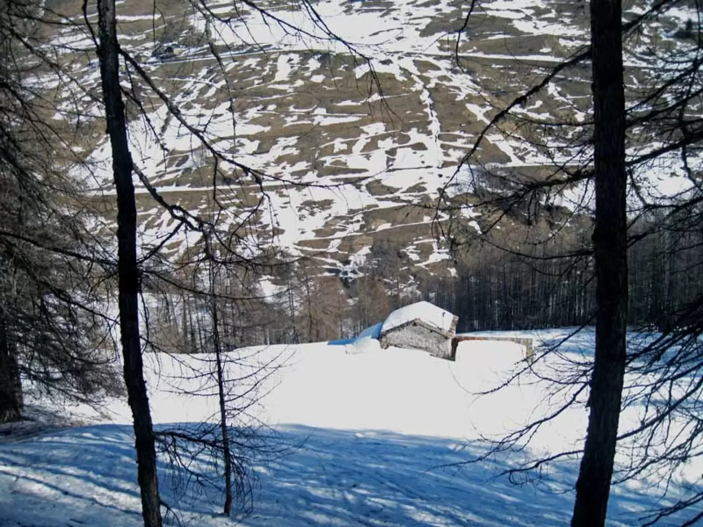
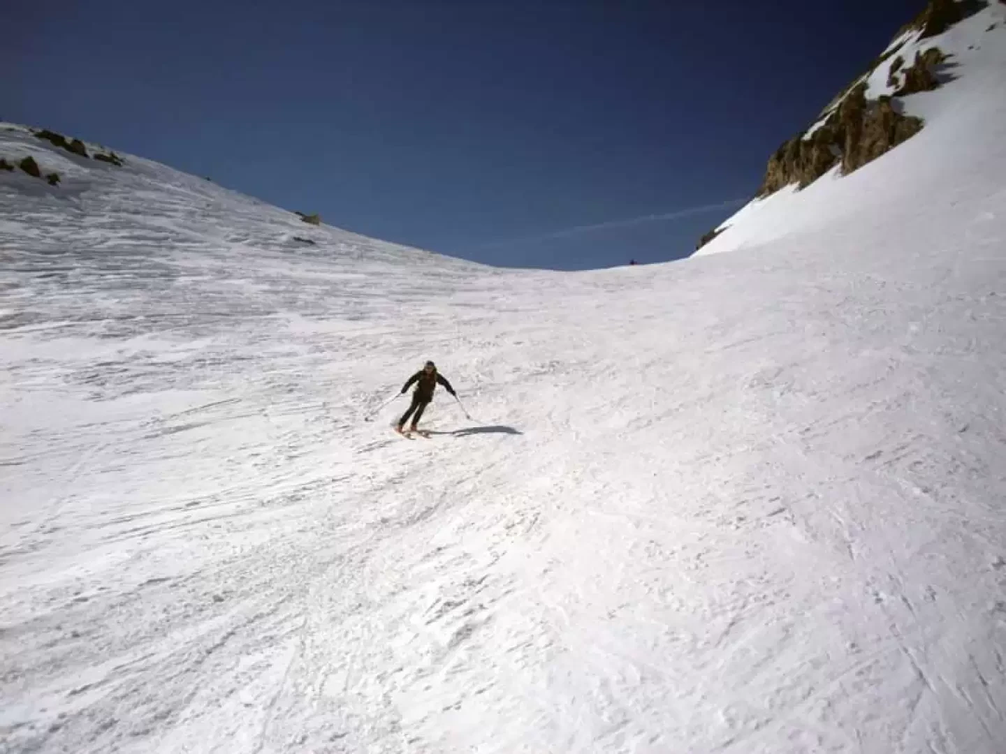
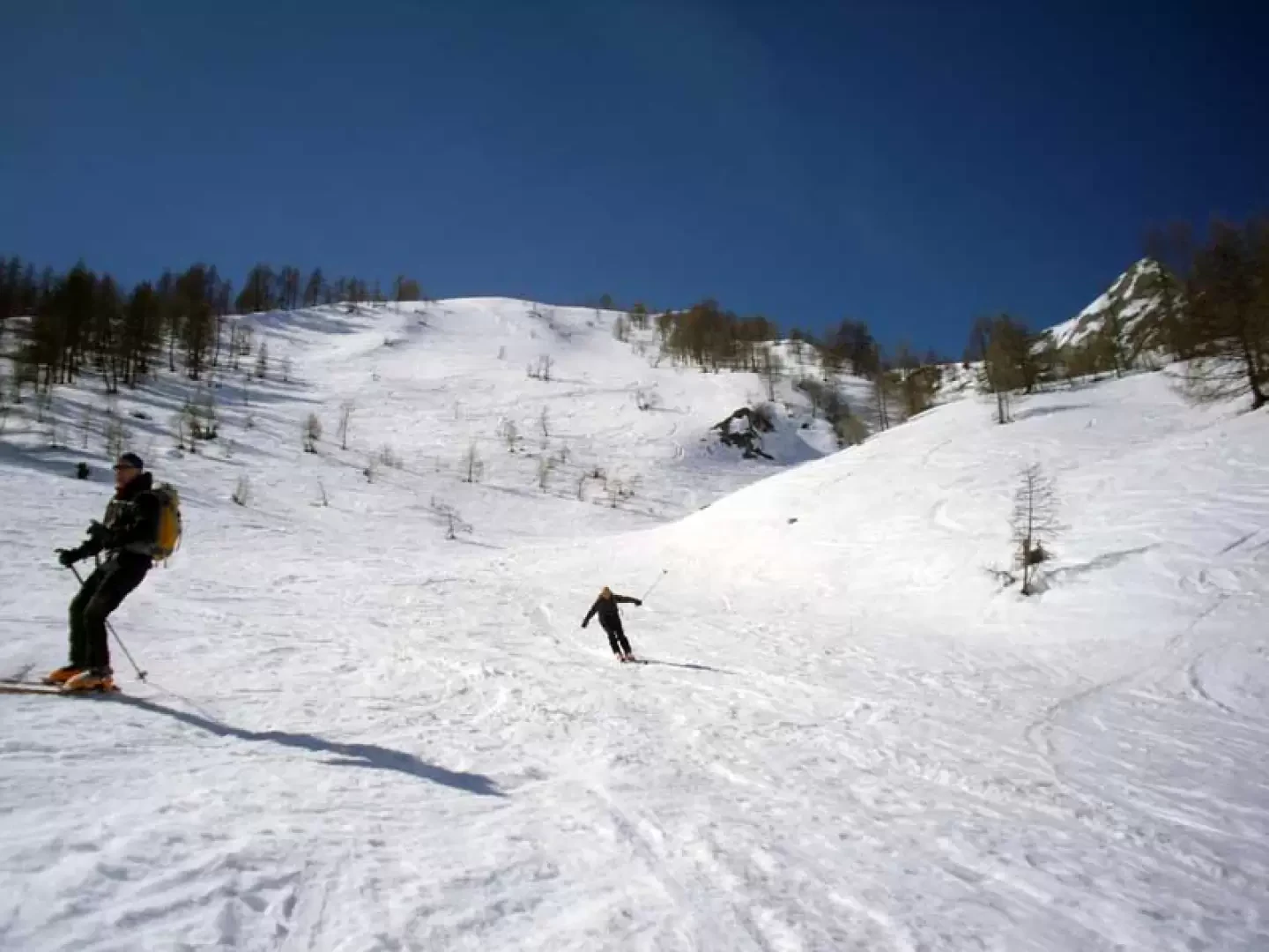
From the car park, head towards the continuation of the valley, staying on the track of the farmstead, passing under the viaduct; with an almost flat route, move slightly to the left towards a wooded ridge and then begin to climb it. With wide hairpin bends, continue through the vegetation moving to the right and, passing just above the Eteley hut, climb a little more directly towards a wide gully. Having also climbed this on the right, you come out into more open spaces, heading towards the clearly visible Arp du Bois desot huts. Leave these on the right and continue on a small plateau, heading towards the wooded slope on the left, which you climb comfortably to reach another small plateau. Above this plateau, you find yourself in front of a series of wide ridges and, heading towards the first one, you move to the right to climb it diagonally to the left; remaining on the left of the valley, you also cross the other two, trying to pass at the points of least slope. Once on the hump of the last one, from where we can clearly see in front of us the pass that is the destination of this excursion, we keep slightly to the left again and head towards the wide gully in front of us; we climb it again with a few bends in its centre and then, moving to the left, we make one last bend to the right, arriving at the panoramic creek. For the descent, after returning to the plateau below the ridges, it is best to stay to the left and, with a few short traverses in this direction, you pass between sparse trees beyond which there is a beautiful slope that leads to the huts below; remaining a little further to the left you arrive at the track that runs alongside the stream and from this, in a slight descent, you reach the viaduct.
.Galleria fotografica