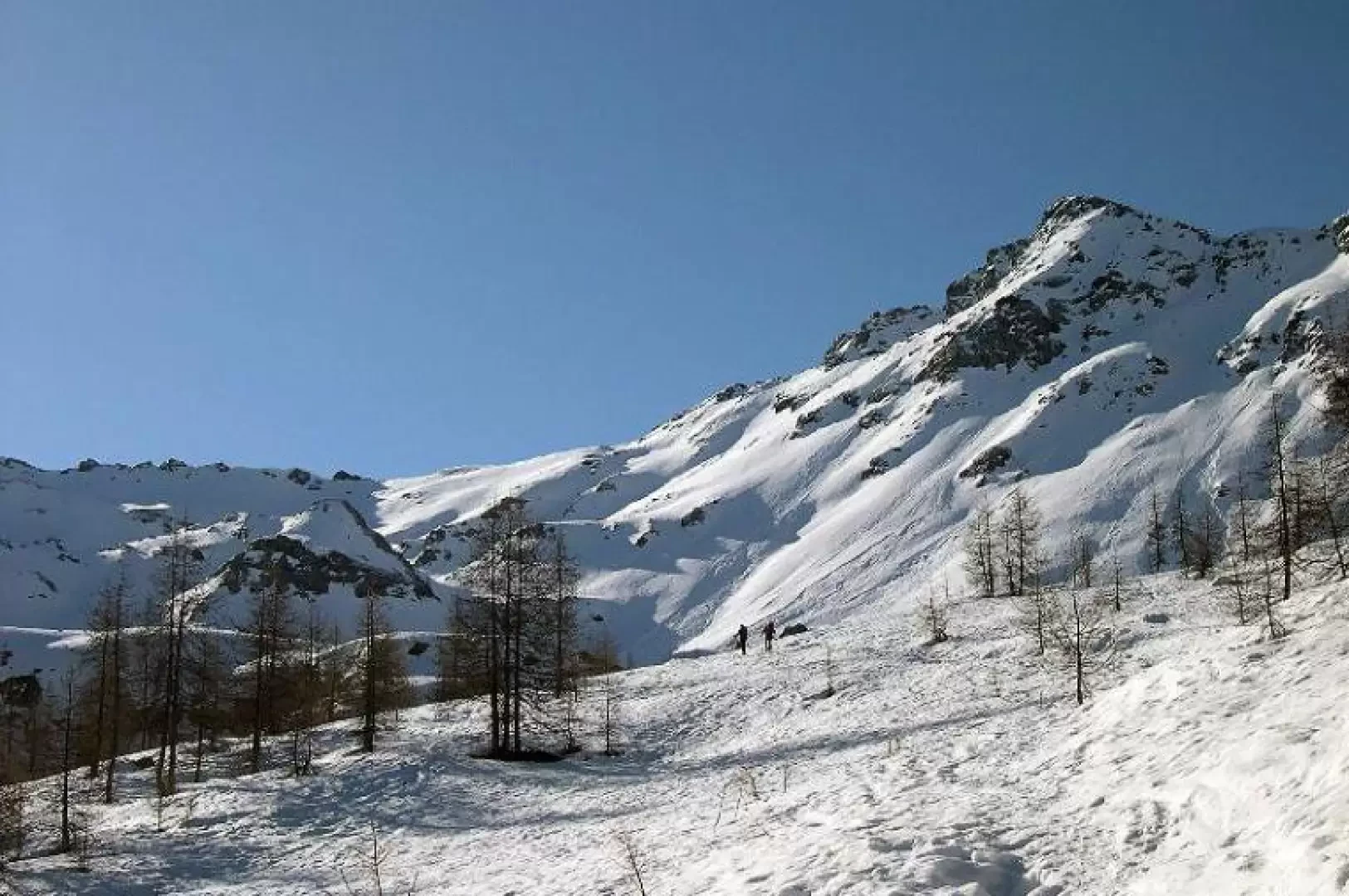
Col des Fontaines, from the Barmaz car park

Access
From the motorway exit of Châtillon/Saint-Vincent turn left and drive up the main road to a roundabout, take the second exit and proceed west on Via E. Chanoux through the centre of Châtillon, cross the Marmore stream and take first Via Menabrea to the right and then Via Martiri di Chesod before turning onto , the second exit at the characteristic roundabout with the Matterhorn in the centre.
Follow the regional road for 18.7km as far as Valtournenche where, towards the end of the village at Hotel des Neiges, turn right and climb up the municipal road to Cheneil. Follow the road for 6.5km until you reach the 🅿️ car park in Barmaz, the starting point for the hike.
The car park is ample but given the busy nature of the area it is advisable to arrive early enough on busy days to avoid having to leave your car further down the hill.
Just beyond the start of the hike there is a tourist lift, which is always in operation and allows you to save 50m on the ascent.
How to get there with GMaps
How to get there with Apple Maps.
Introduction
This route is very short but often offers a beautiful descent. It is practicable from the first snowfall in December until the beginning of May.
Description
From the square where you leave your car, cross the stream and with a very steep stretch (which is normally done with skis on your back) you reach the beautiful Cheneil basin. Alternatively, it is possible from the lay-by, without crossing the stream, to go up to the left along the track of a steep little road, pass under the little church and with a downhill traverse reach the basin. Pass the houses of Cheneil and climb up into the sparse larch forest. Before the last larch trees, cross a beautiful hollow to the left and reach the Champsec huts. From the huts, ascend a steeper section that leads to a wide hollow below the pass. Move to the right and climb the steep gully that leads to the col just to the right of a large rock. With good snow conditions, the descent can be made directly along a small valley leading to the plateau (in this section, beware of the possibility of avalanches falling from the steep slopes of the Punta Falinère.