Col de Crête Seche, from Ru

Edited by:
Giancarlo Beretta
Updated at: 25/10/2025
Introduction
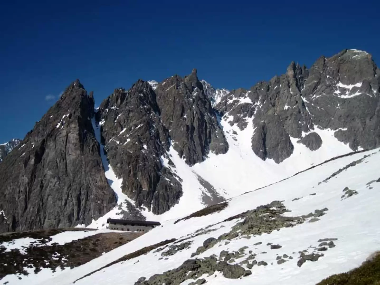
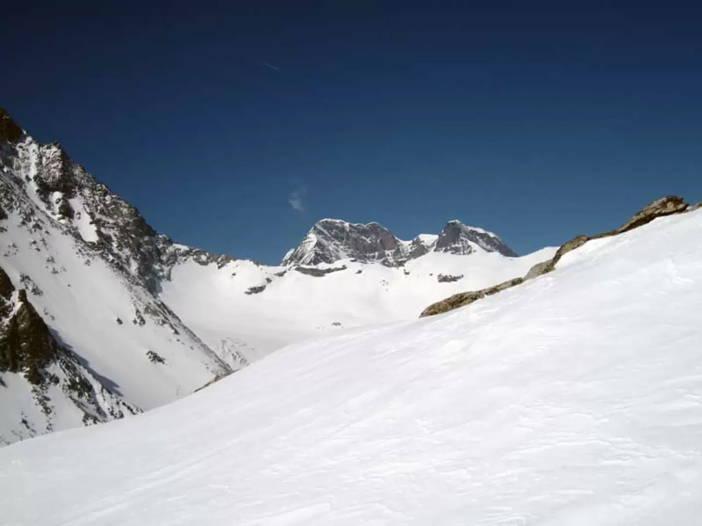
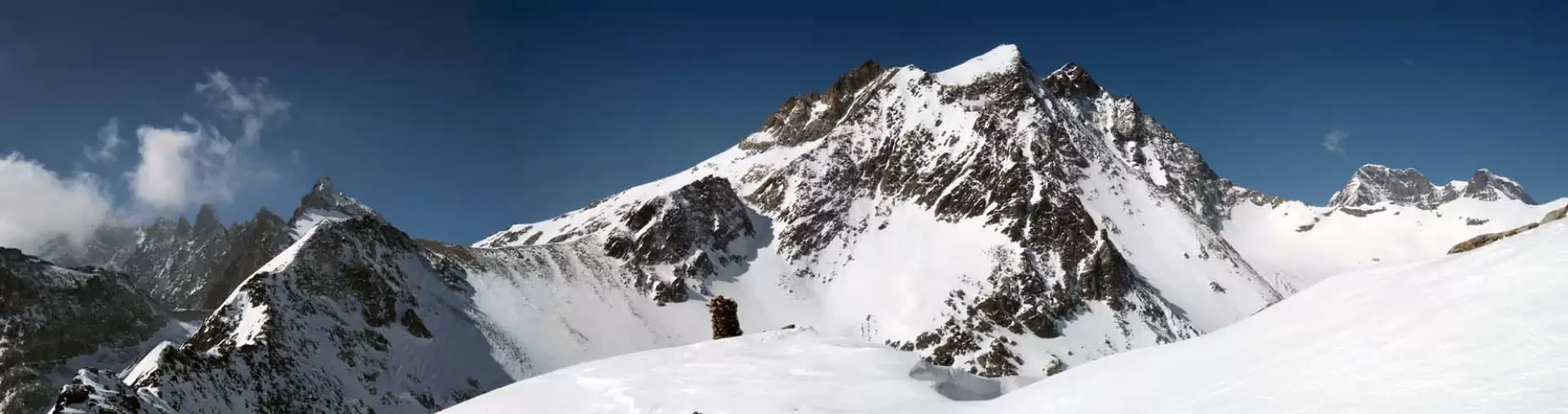
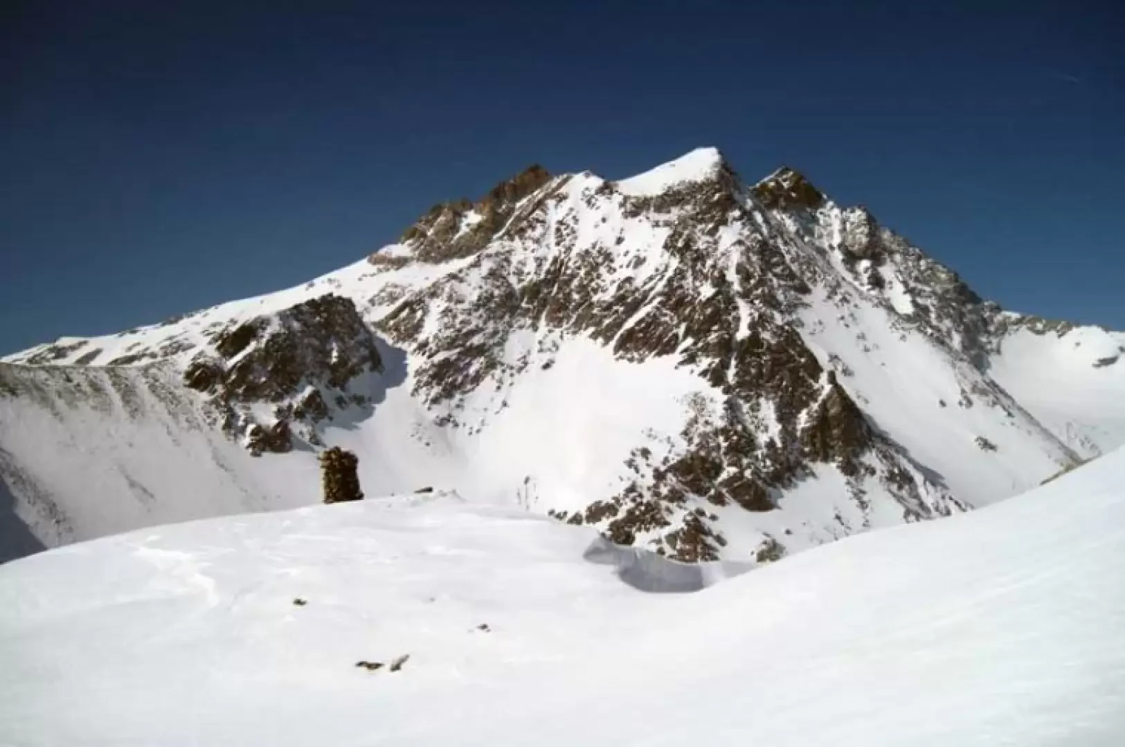
This hike reaches a scenic pass bordering Switzerland and located on the watershed between the Dents d'Oyace to the west and the Trouma des Boucs to the east. The ascent begins by crossing a beautiful wooded area to arrive on increasingly open slopes with some short, somewhat sustained stretches at the limit of the indicated difficulty. The view once you reach the Plan de la Sabbia basin is beautiful, as is the view from the pass towards the nearby Mont Gelé, the Grand Combin and the valley that descends into Swiss territory. Due to the southern exposure of much of the itinerary, it is possible, in the late season, that you may have to carry skis in your rucksack for part of the trail. The hike should be undertaken with well-seasoned snow, as there is a danger of drifts on the slope between the road and the hut and in the gully leading to the pass; knives may be useful for the ascent.
Description
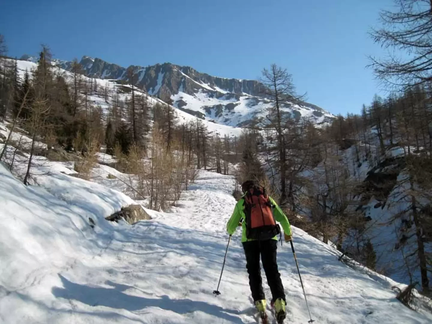
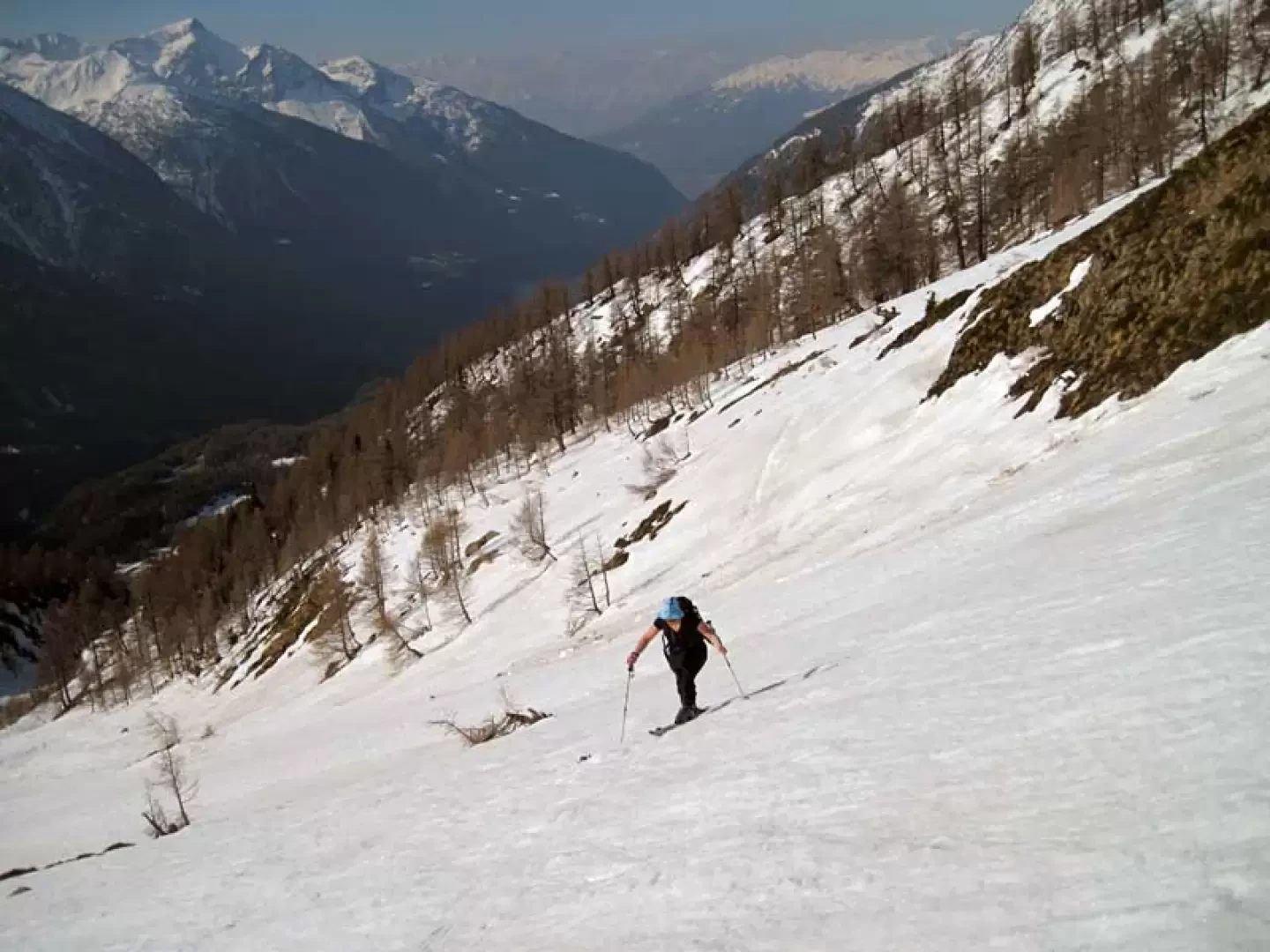
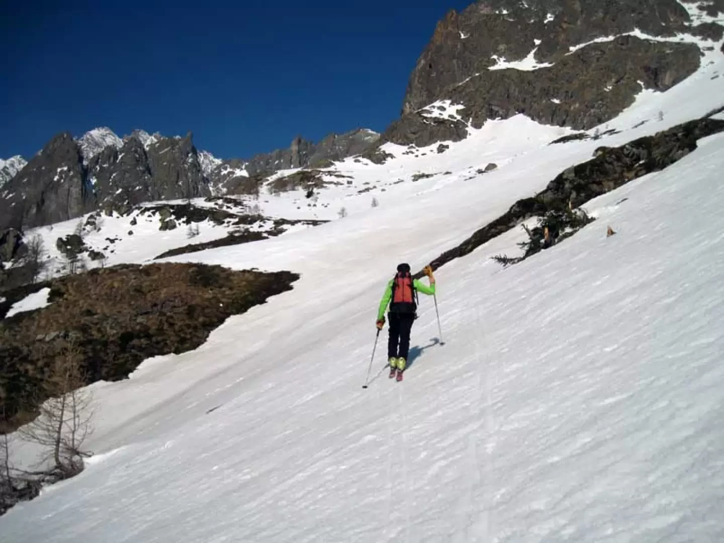
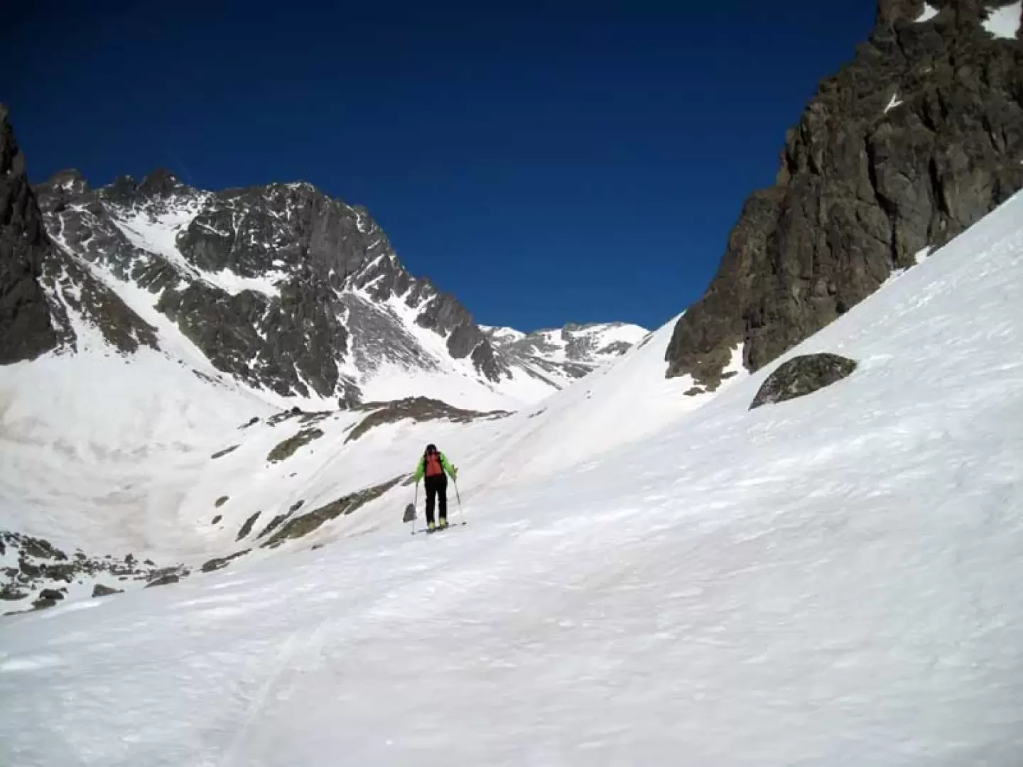
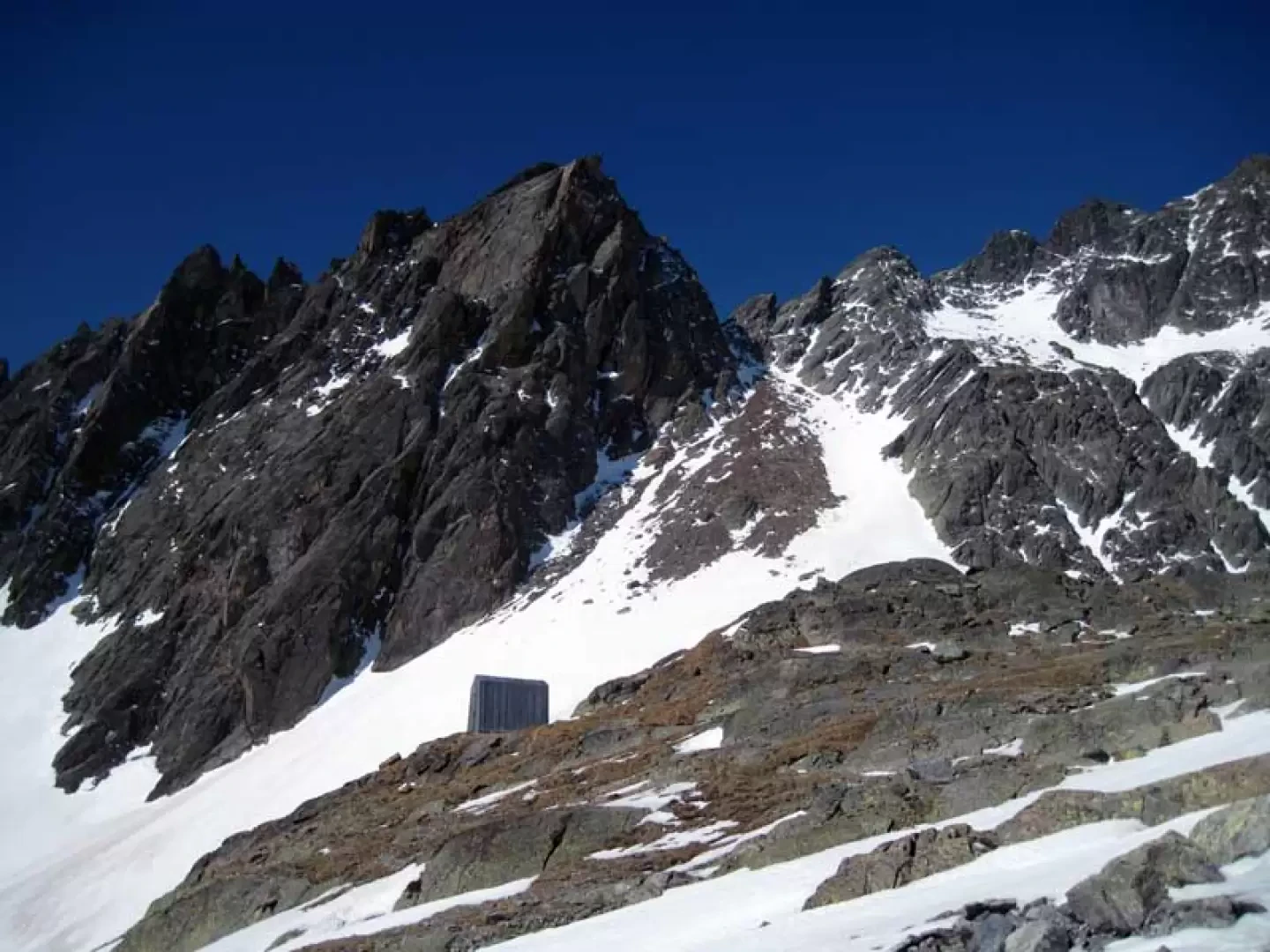
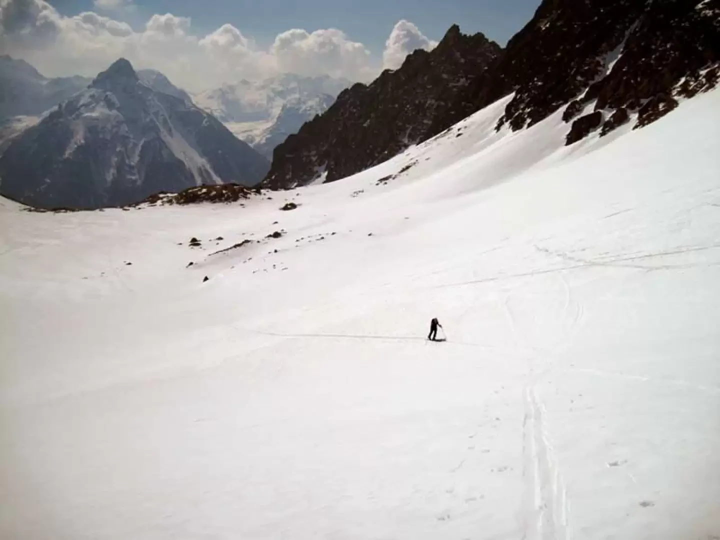
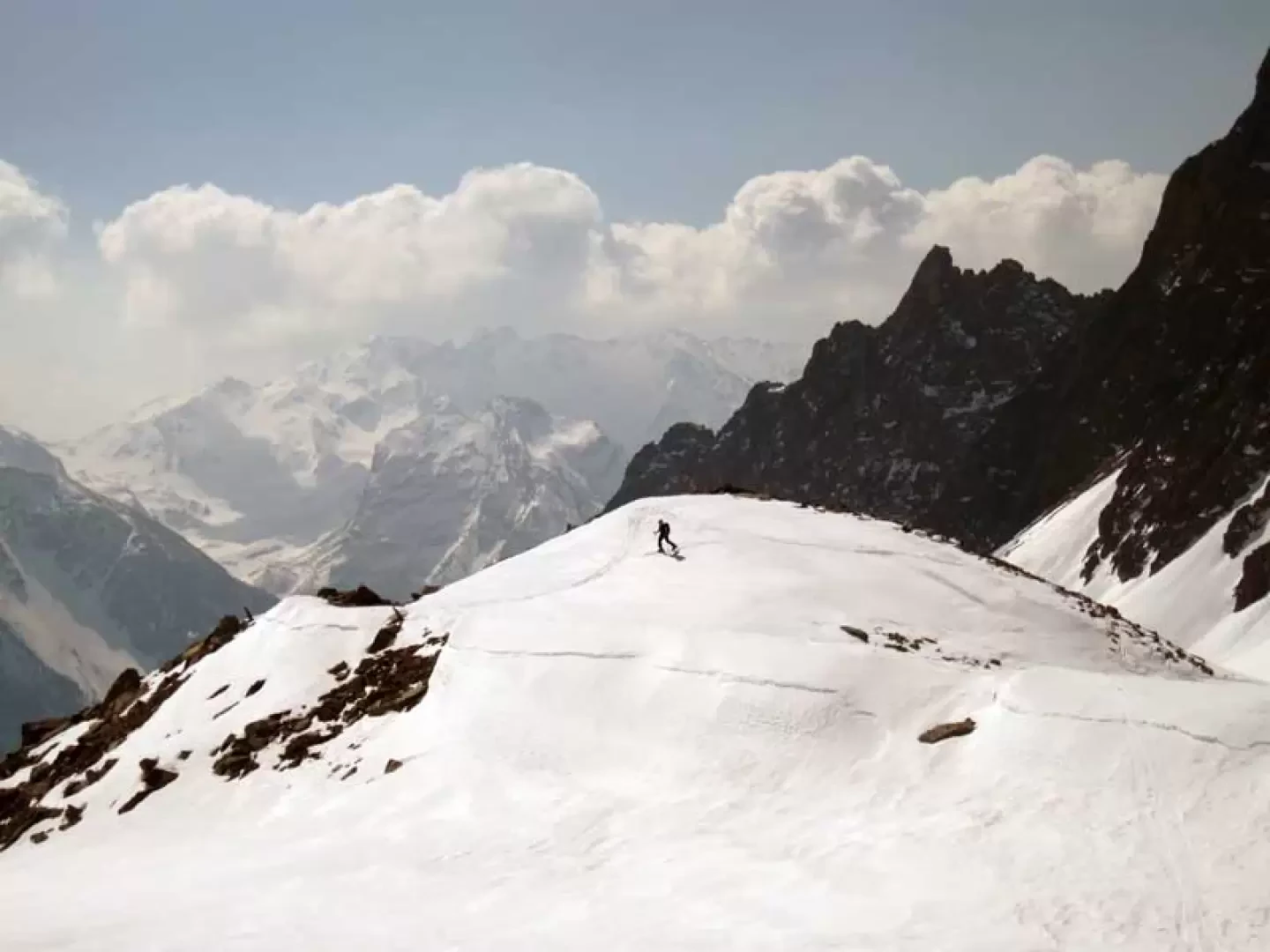
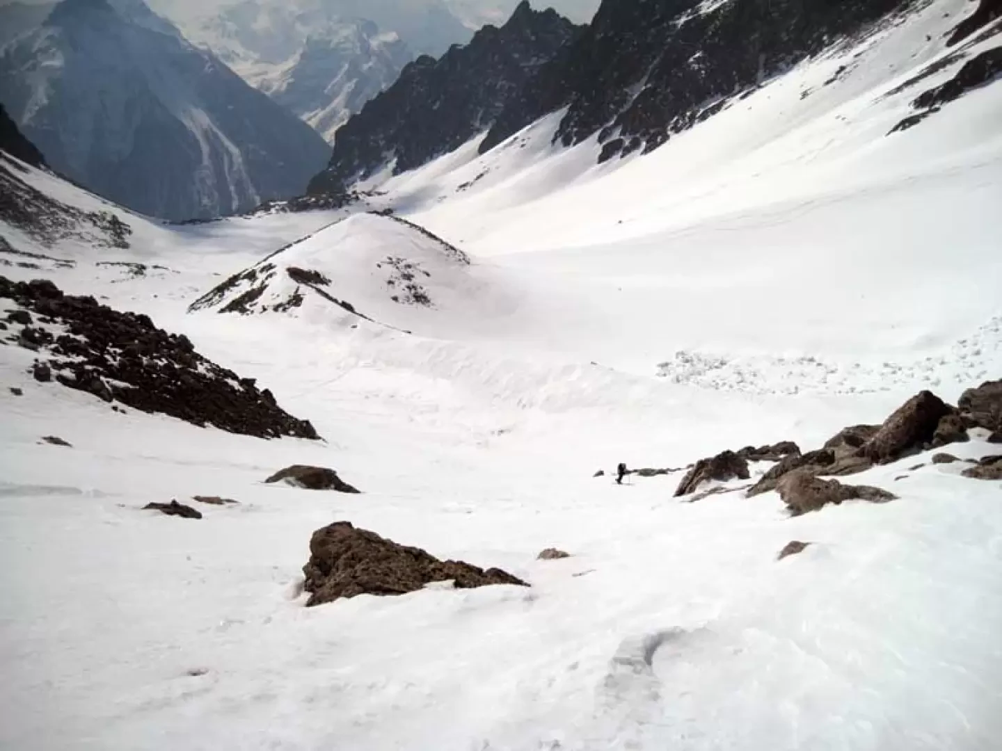
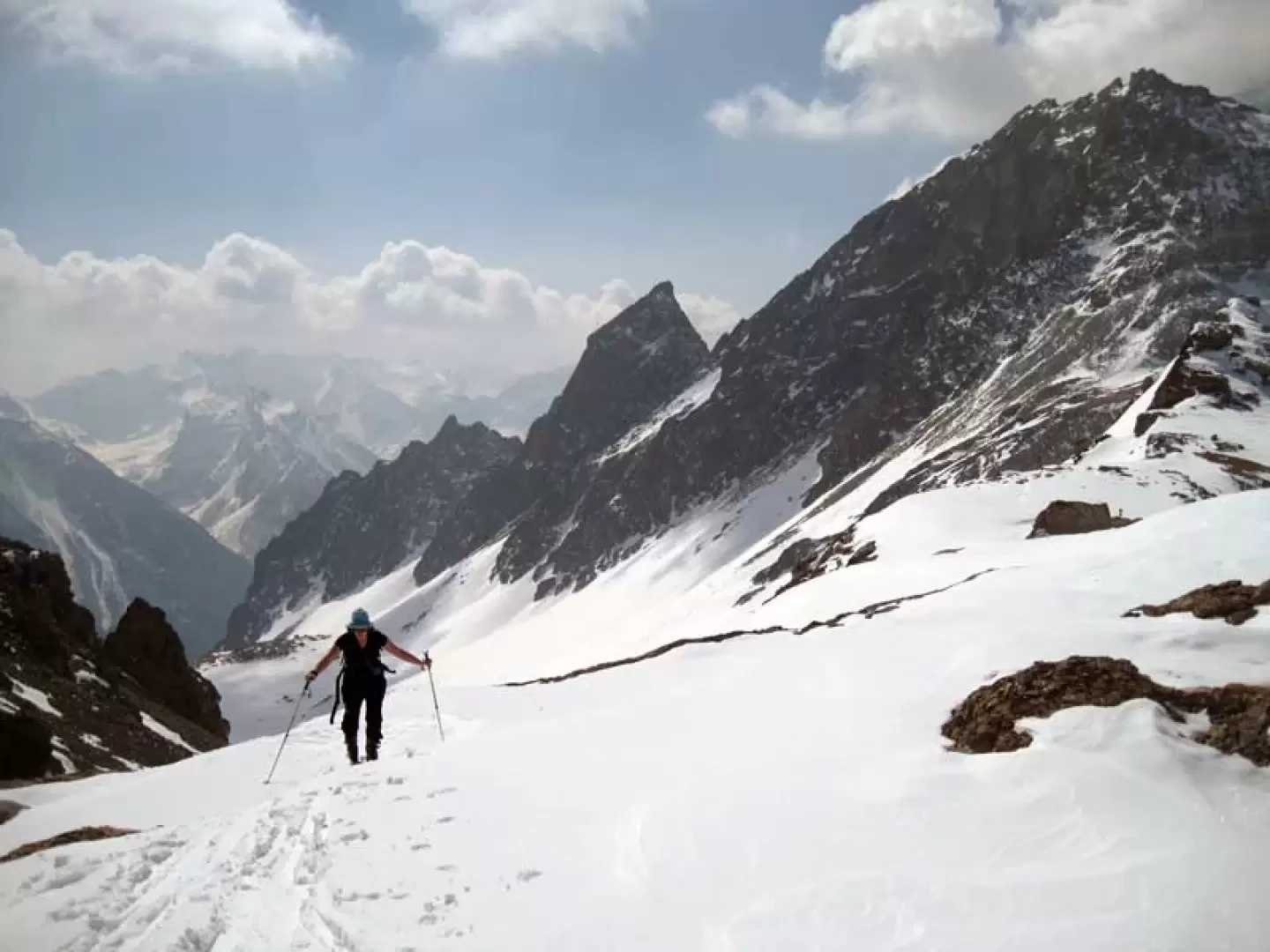
From the car park, cross the few houses in the hamlet and begin the ascent along the farm track which, with a few hairpin bends, gains height in the woods. If you want to shorten the route a little, just above the first hut, keep to the right and go more directly up the slopes to pass by another hut and, after this, turn more decisively to the right until you join up with the farm track above. Walk along a straight stretch towards the bottom of the valley and, a little before reaching some waterworks, start climbing up the slope on the left, taking the right-hand side of it to stay out of an area prone to discharge. Climb up the slope with a few slightly steep bends and then make a traverse to the left towards a ridge on which the Crêtes Seches hut can be seen; without reaching the hut, stay to the right and climb up a steep chute above which you begin a traverse to the left, heading towards a wide creek just below which, on the left, is the Spataro bivouac. On reaching the pass, a large plateau opens out before us, the Plan de la Sabbia, crowned by a series of beautiful rocky peaks. We continue for a short stretch on the level and then deviate to the left and climb up the gentle slopes, aiming for an evident morainic hump located approximately in the centre of the basin; the gully to the right is also inviting, but it is below the avalanche slopes of the rocky chain. One now continues in the evident gully, which is a little steep at first, but narrows as one ascends and where there are also large outcropping rocks. When the slope decreases noticeably, you pass between the large boulders without any obligatory path and soon reach the scenic pass.
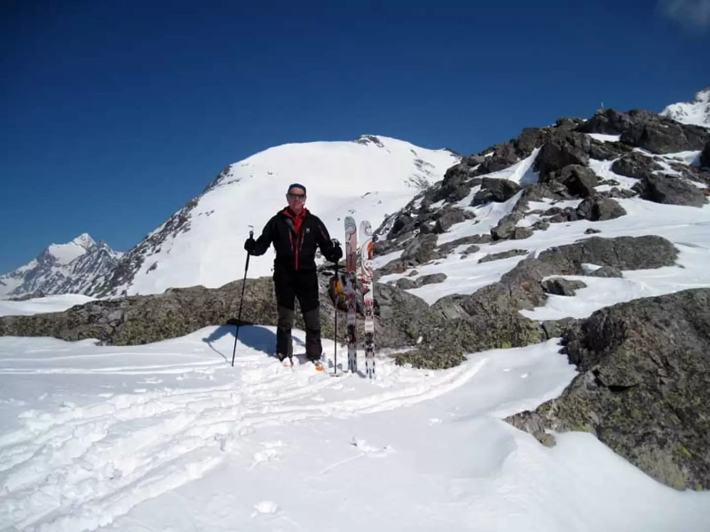
Galleria fotografica