Cima Occidentale dei Piazzotti, from Pescegallo

Edited by:
Marco Bonati
Updated at: 01/12/2025
Access
From Milan to Morbegno (SO) along State roads 36 and 38. Once in Morbegno, take the Val Gerola provincial road on the right and follow it to the end, parking in the large squares of the ski resort.
Introduction
A hike little known, except to locals, following the route described. The widely varying exposure (but only north on the descent: powder!!), the need for a lot of well-groomed snow, the loss of 150m of altitude difference on the outward journey and the uncertainty of whether the key section of the descent is passable make this a very special route.
Description
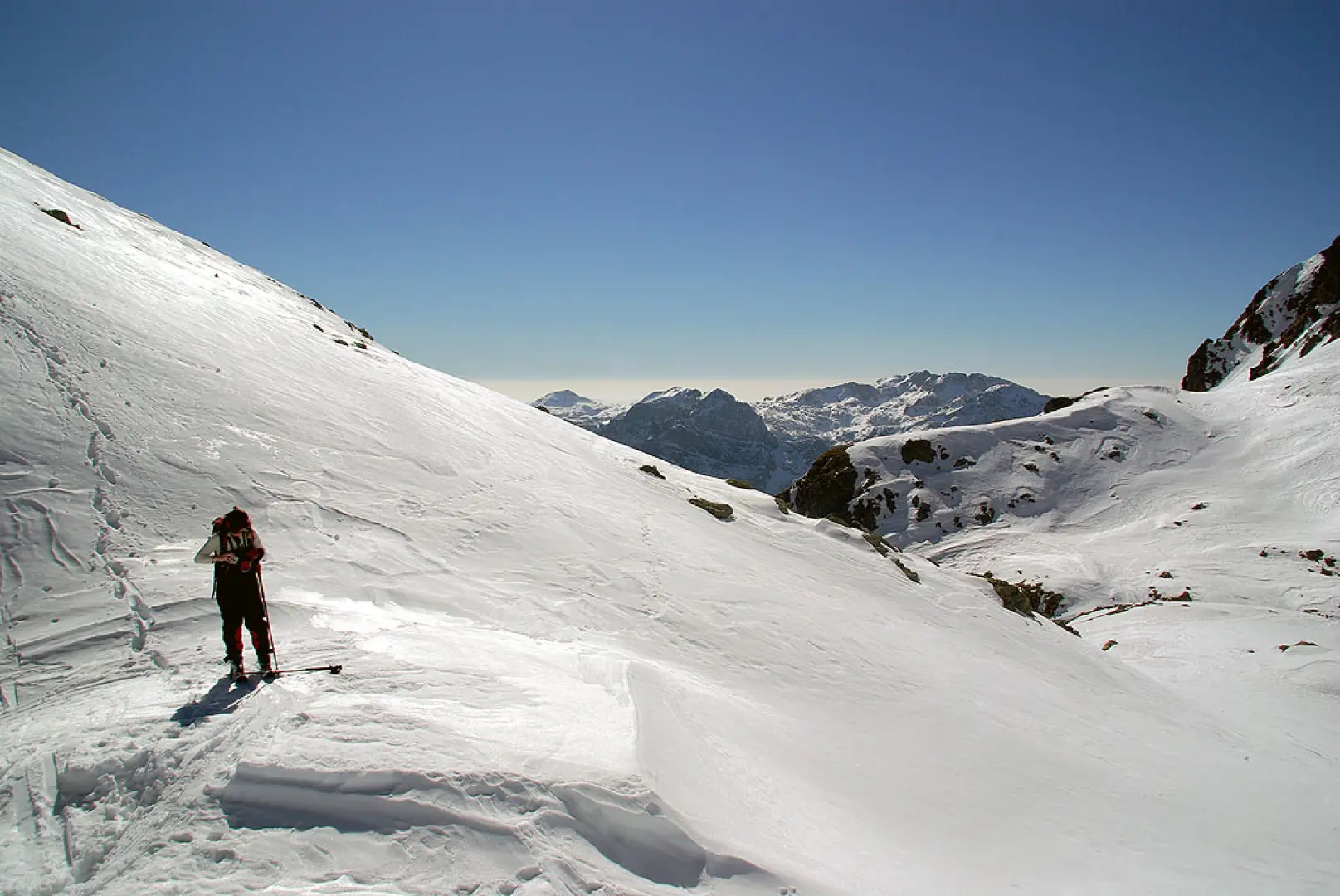
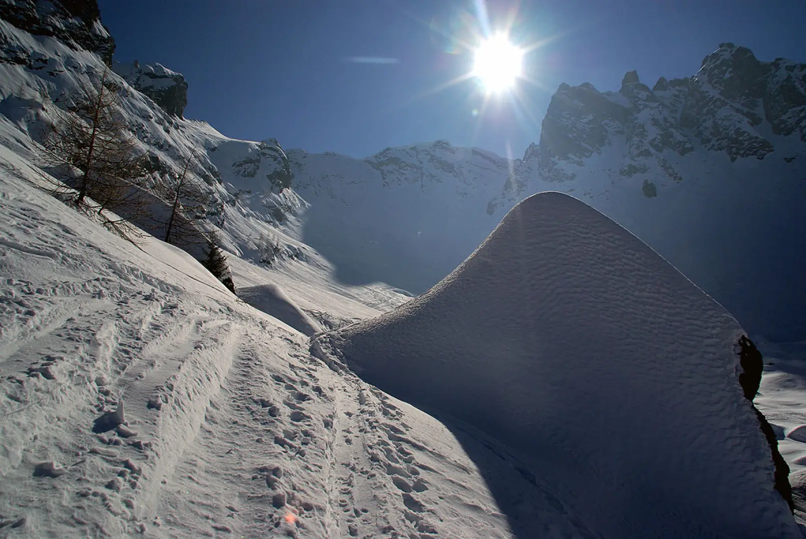
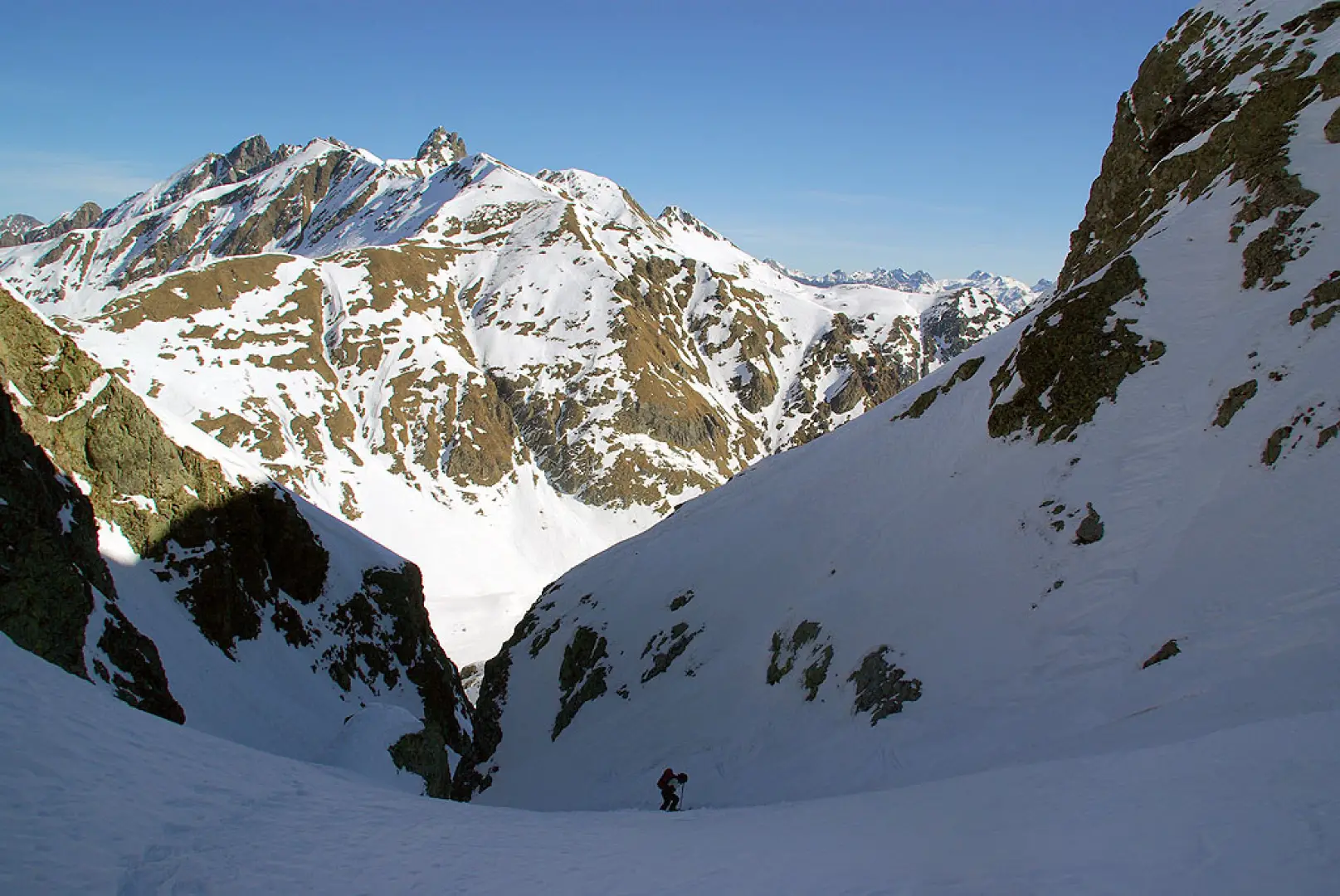
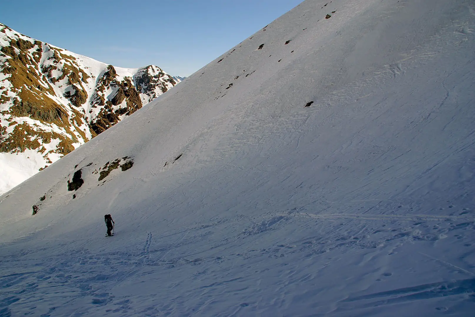
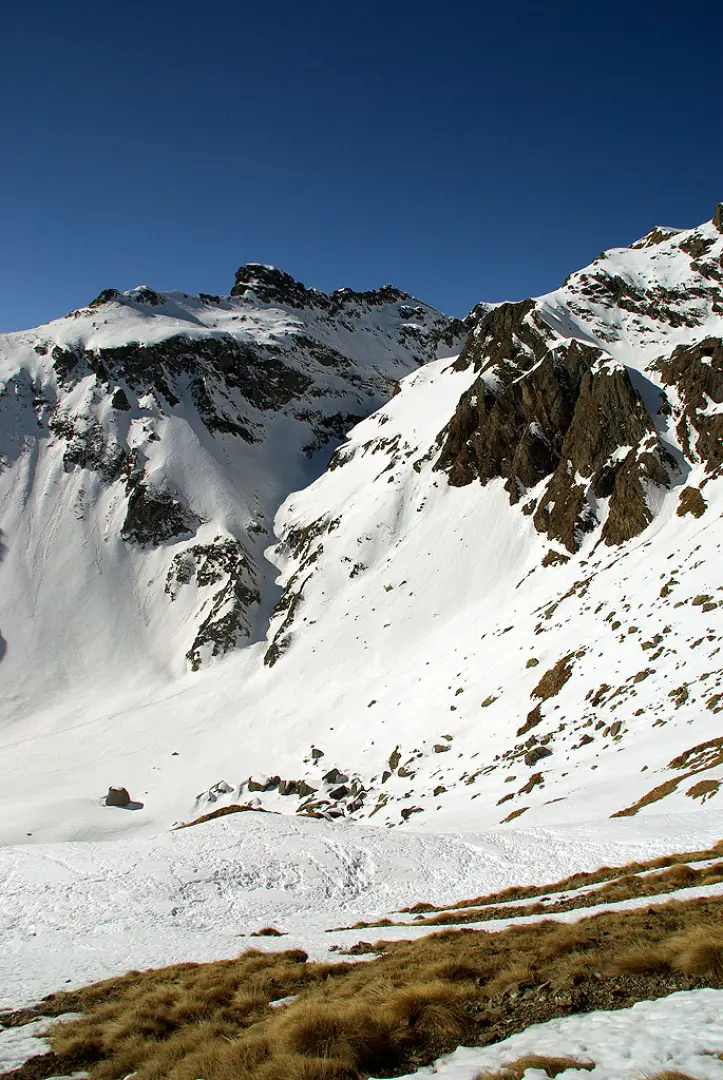
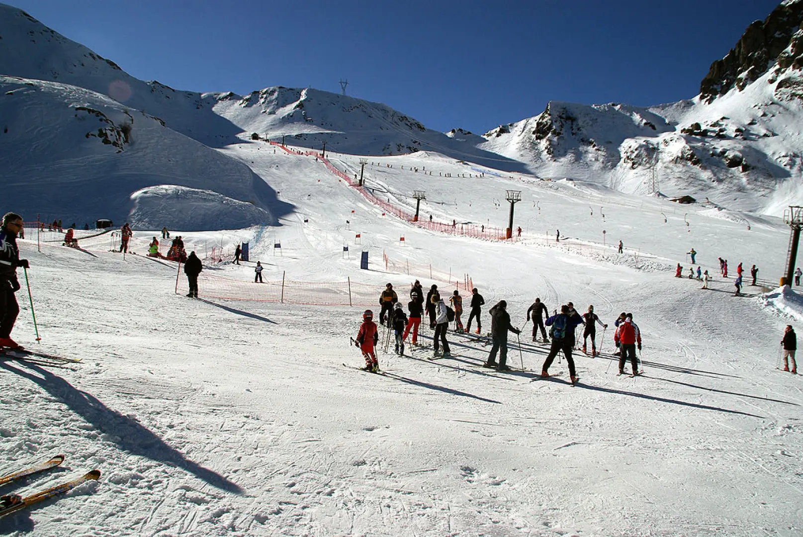
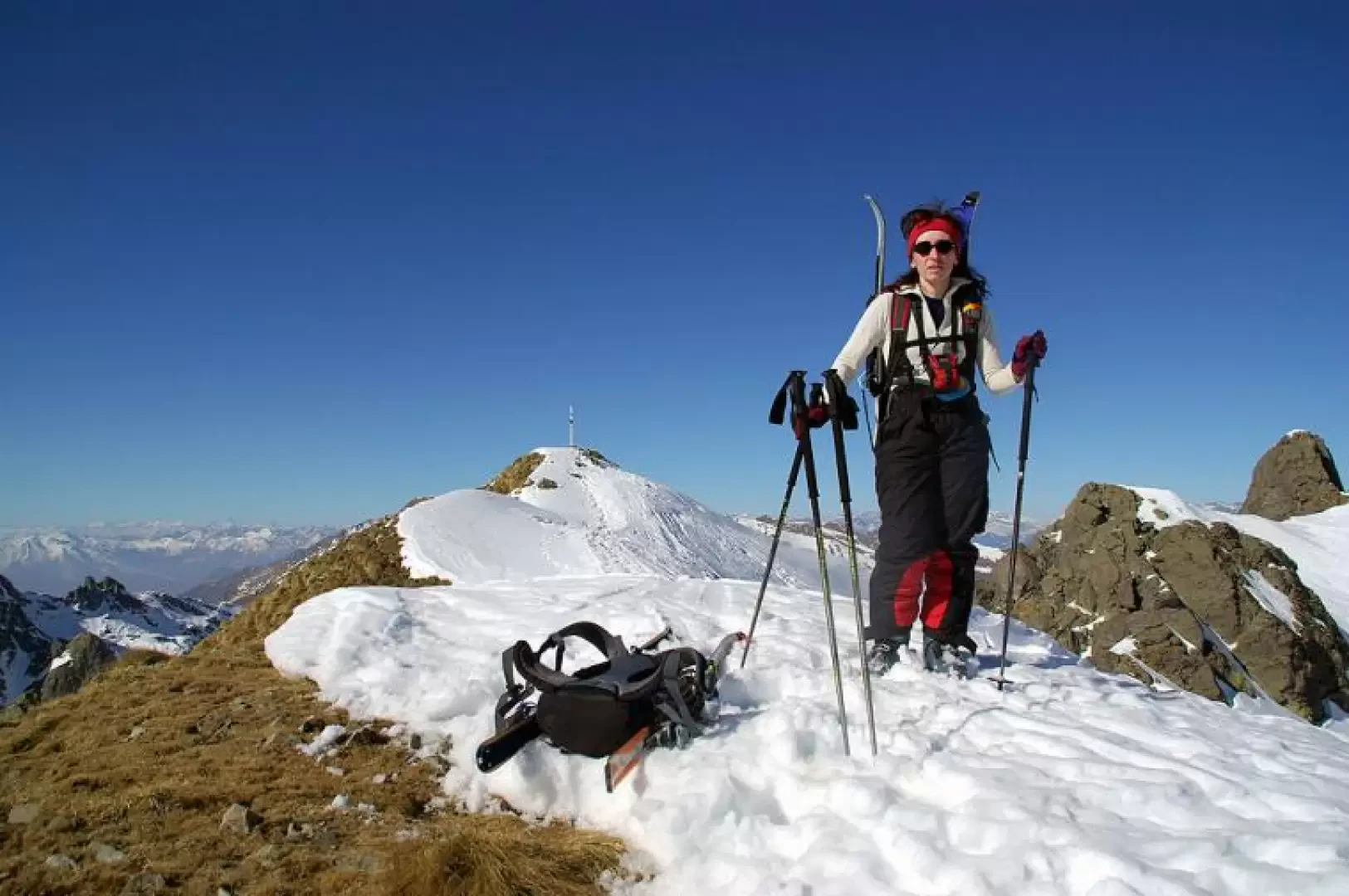
From the car parks of the Pescegallo ski resort (municipality of Gerola Alta - SO), take the service road of the ski slopes which, with long traverses and hairpin bends, leads up to the Salmurano plain 1848m (presence of refreshment facilities). From here, follow the ascent line of the only ski lift to the upper terminus on the right. At this point, leave civilisation and take a slightly sloping (sometimes badly iced) traverse to the right, which leads to the obvious notch of the Salmurano Occidentale Pass 2017m (signposts in place). Here you need to take off your skins and descend 150m in altitude - with good south-facing skiing - to the wide basin below - Baita del Piano 1855m. After putting the skins back on and making sure that the slopes are firm, we set off to climb the evident gully in a westerly direction for its entire length, with a more restful intermediate section, until its outlet near Bocchetta di Valpianella 2224m. This gully - the key section of the climb - is located entirely beyond the displuvium and therefore in the province of Bergamo - Alta Val Brembana, it is very sunken and frozen, skins are often at their limit and crampons might come in handy; BSA. Once you are near the Bocchetta di Valpianella (facing south), it is necessary to ascend the slope to the right with extreme care and delicacy, which soon leads to Cima dei Piazzotti Occidentale 2340m or Cima di Valpianella. Should the aforementioned last slope prove to be of suspicious grip, it is advisable to remove the skis and ascend the edge of the south-east ridge along the line of maximum slope up to the summit, paying attention to any cornices. The panorama, given the isolation on three sides of the summit, is very wide. The descent can also be made along the outward route, but with the serious defect of having to climb back up to the Salmurano Pass. The most interesting route, which if feasible can also achieve an OSA classification, initially leads with enjoyable gliding on wide, very easy slopes to the visible Rifugio Benigni 2222m, located beside the frozen and snow-covered Lago dei Piazzotti. A few tens of metres from the hut, one cautiously heads into the gully traversed by the lake's emissary (the beginning of the Val Tronella descent); from here, the exposure is a northerly with consistently ideal conditions. The first forty metres of difference in height are the highlight of the descent: a slope of up to 40 degrees in a 3-4 metre wide gully, where the snow, even if well bedded, often does not grip well on the waterfall ice below; the gully is not always practicable, or can be climbed with crampons and ice axe. Once this section has been overcome, the slope, although always sustained, widens and allows serpentines in virgin snow even after repeated passages. We continue along the Val Tronella, encountering the first larch trees in enjoyable passages between large snow-covered boulders; we pass near La Sorgente 1808m (a small water intake for the power stations in the area). From here you proceed through sparse woodland until you reach the Baite del Dossetto huts, an obligatory transit point to trace the path - to be taken to the right - which through a short but very technical woodland leads over open slopes in view of the car parks at the starting point.
.Galleria fotografica