Nearby
📍 Location Details
Latitude:
Longitude:
Accuracy:
Updated:
Latitude:
Longitude:
0 km
100 km
Path
km
-
km
m
m
Hike Type
Round trip
Circular
Crossing
Partially circular
Recommended Period
All
Climbing
Hiking
Mountain bike
Mountaineering
Ski-mountaineering
Trekking
Snowshoeing
Via ferrata

Edited by:
Vivalaporchetta
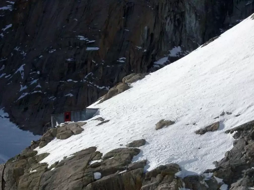
Bivacco Gervasutti
Introduzione
Bellissimo itinerario, difficile ed esposto a pericoli oggettivi elevati, da percorrere con neve stabilizzata ma sufficiente per coprire alcuni...
0.00 Km
1242 m
Edited by:
Vivalaporchetta
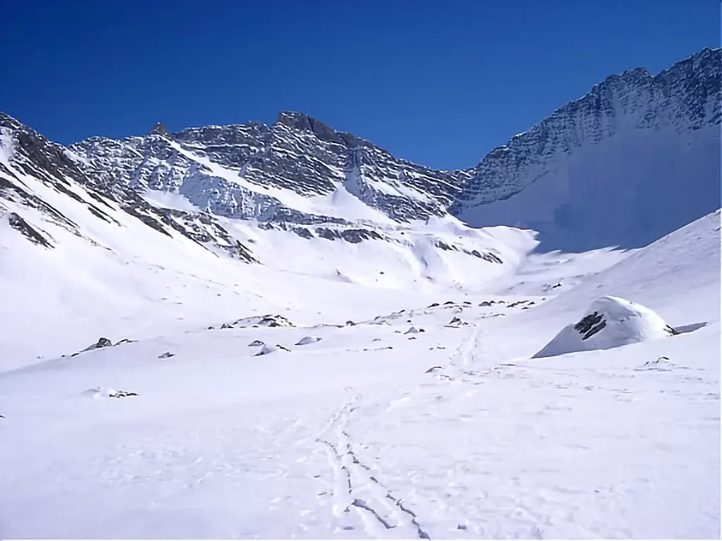
Tête d'Entre Deux Sauts, from Planpincieux
Good tour around a very scenic peak. The skiing part is also interesting. If in good condition, the direct descent...
MS
0.00 Km
1136 m

Edited by:
Franco Rossi
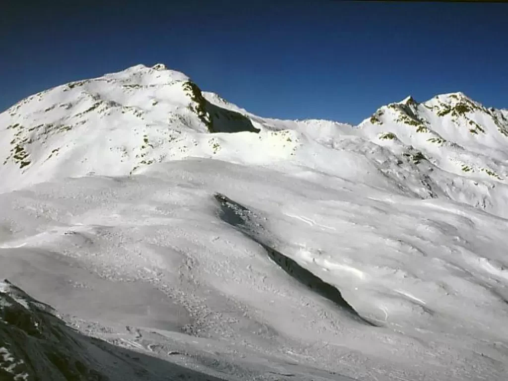
Pizzo Cancan
Easy ski tour with no objective dangers, just over the Swiss border in the Poschiavo valley. Depending on snow conditions,...
MS
0.00 Km
1235 m

Edited by:
Marco Bonati
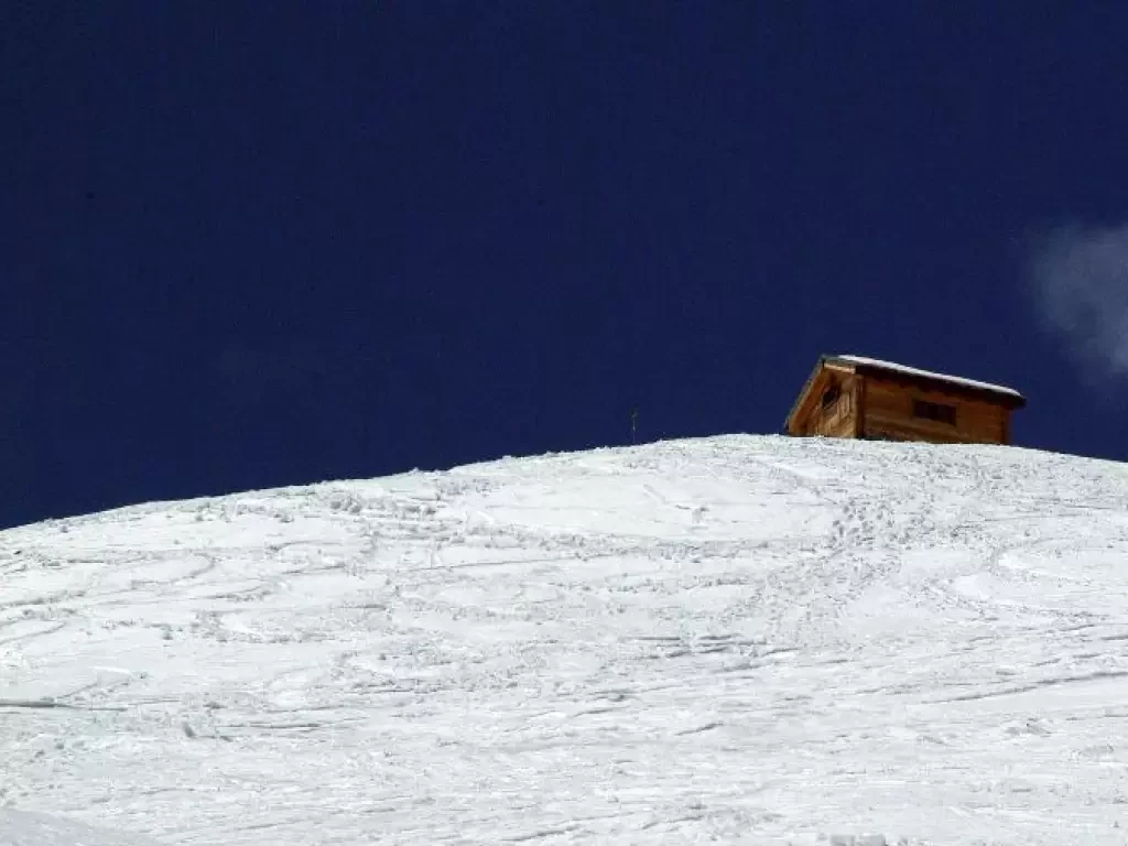
Cecchini Bivouac
Classic excursion, mainly ski mountaineering, but also very suitable for snowshoes. You reach a bivouac (already visible at the car...
MS
0.00 Km
865 m
Edited by:
Marco Bonati
Suretta bivouac, from Monesplga
Simply the most beautiful descent in the entire valley. Even more beautiful (and difficult) with the spring variants. Incomparable views...
BSA
0.00 Km
840 m

Edited by:
amos
Cima Lastè, from Col Indes
31/01/04 I tackled this fun excursion with enthusiasm: the plan was to climb to cima Lastè from the Sasson della...
T2
0.00 Km
1097 m
Edited by:
Marco Bonati
Cima Occidentale dei Piazzotti, from Pescegallo
A hike little known, except to locals, following the route described. The widely varying exposure (but only north on the...
MS
0.00 Km
1036 m
Edited by:
Marco Bonati
Lake Nero, from Lake Montespluga
Short route for a half-day excursion in a very open environment on non-trivial but regular slopes. In winter, the avalanche...
MS
0.00 Km
402 m

Edited by:
Marco Bonati
Monte Cristallo, from the Stelvio Pass
Strange excursion. For much of the route you follow the easy slopes of the summer ski lifts, but monotony is...
OSA
0.00 Km
676 m

Edited by:
Sergio Enrico
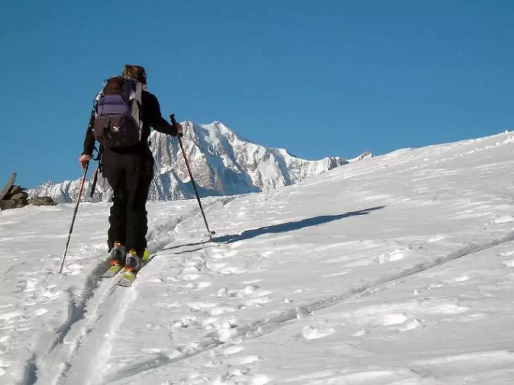
Punta Fetita, from Vedun
Unfortunately little-known excursion offering a stupendous panorama of Mont Blanc.
MS
0.00 Km
1098 m
Loading more...