Tour Real

Edited by:
Rita Tarussello
Updated at: 12/11/2025
Access
Autostrada A6 Torino-Savona, uscita Marene-Bra. Prendere SP 662 per Savigliano e alla rotonda svoltare a sinistra per Costigliole Saluzzo. Seguire indicazioni per Valle Varaita (SP8) continuando sulla provinciale superare Ponte Chianale fino a Chianale. Lasciare a sinistra il paese e proseguire per circa un chilometro. Parcheggiare sulla sinistra su largo spiazzo a quota 1800 al bivio della sterrata dopo il ponte sul torrente Varaita.
Introduction
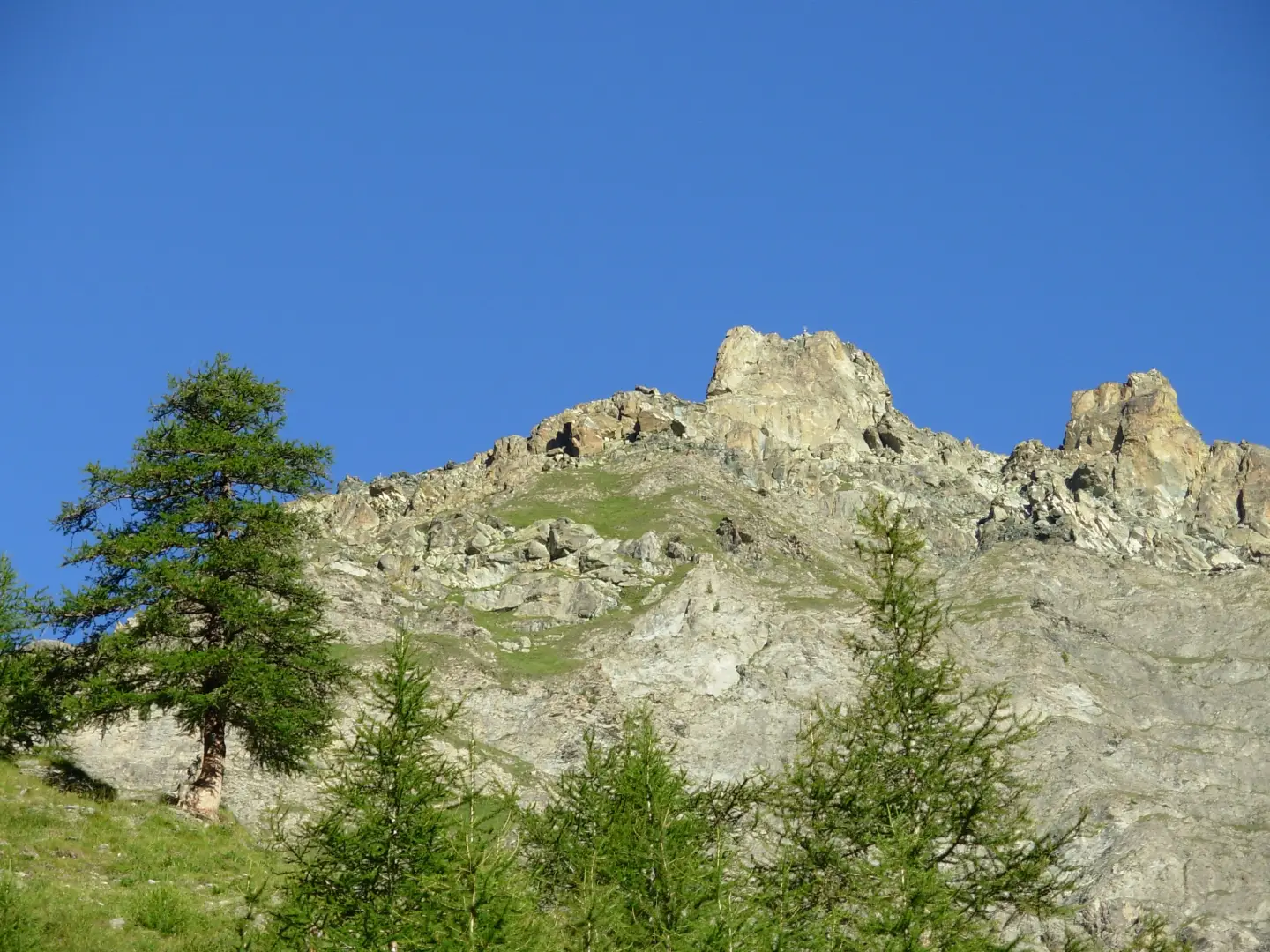
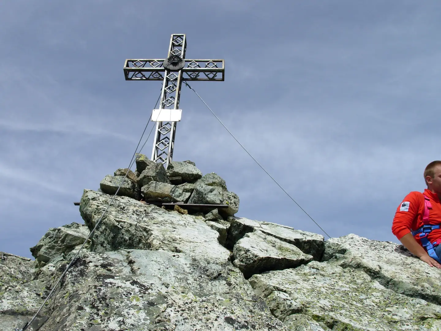
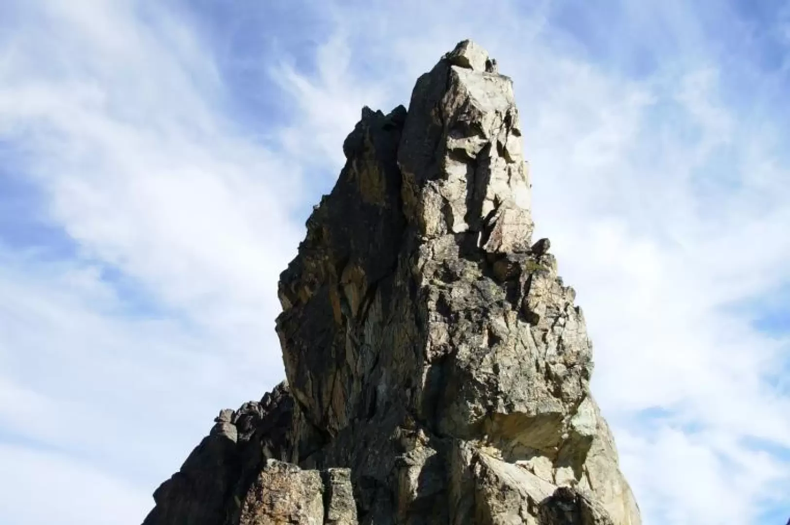
The Tour Real, which dominates the village of Chianale, consists of a large tooth rising about 40 m from the collar with two vertical walls of solid, compact rock suitable for climbing. The O wall is divided into two parts by a vertical cleft from which two summits stand out, one of which (the S one) is topped by a large cross. It is a pity that the fun climb of about 30 minutes involves an approach of almost three hours.
Description
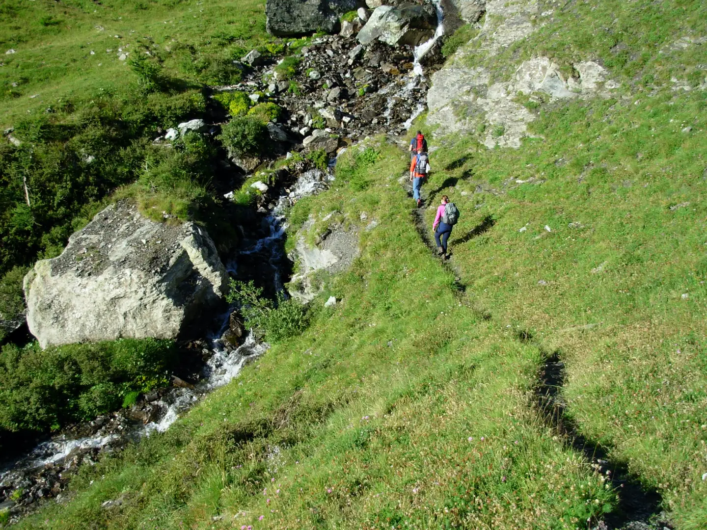
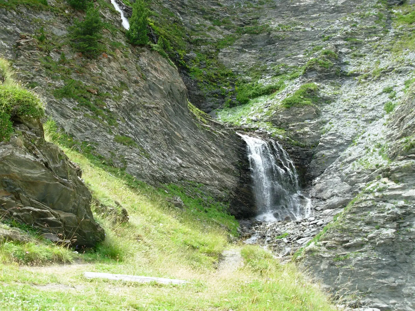
Leaving the car park, we set off along the dirt track that we leave after a few hundred metres to turn left along the route. The path enters a beautiful larch forest and rises first diagonally then in twists and turns until it reaches the Cumbal dell'Asino and the Grange Torrette (2222m).
The path continues halfway up the grassy slopes to the Cumbal Tirabuc, near which is the Grange Martinet, where it is possible to refresh yourself with water at a fountain.
We then cross a small stream and climb to the right through a wet gully, at the exit of which we come to a grassy slope that meets a mule track (not very visible), which with numerous twists and turns climbs windingly up into the Subirane valley.
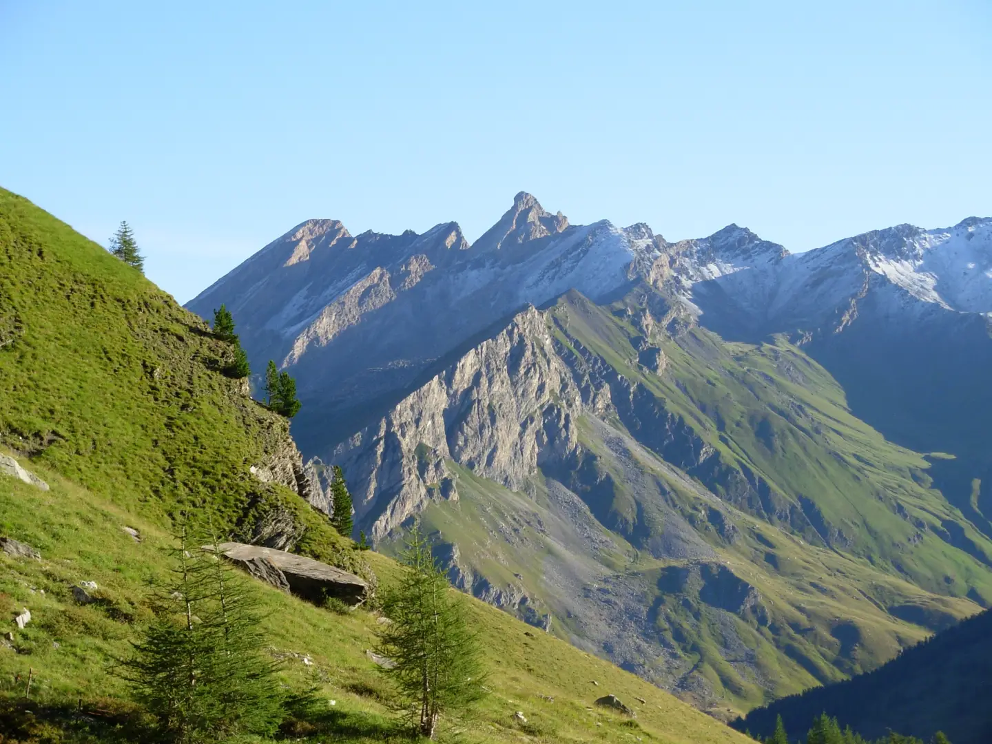
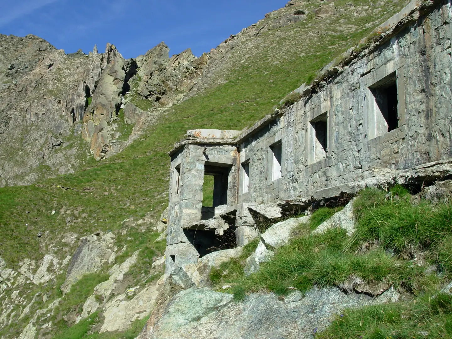
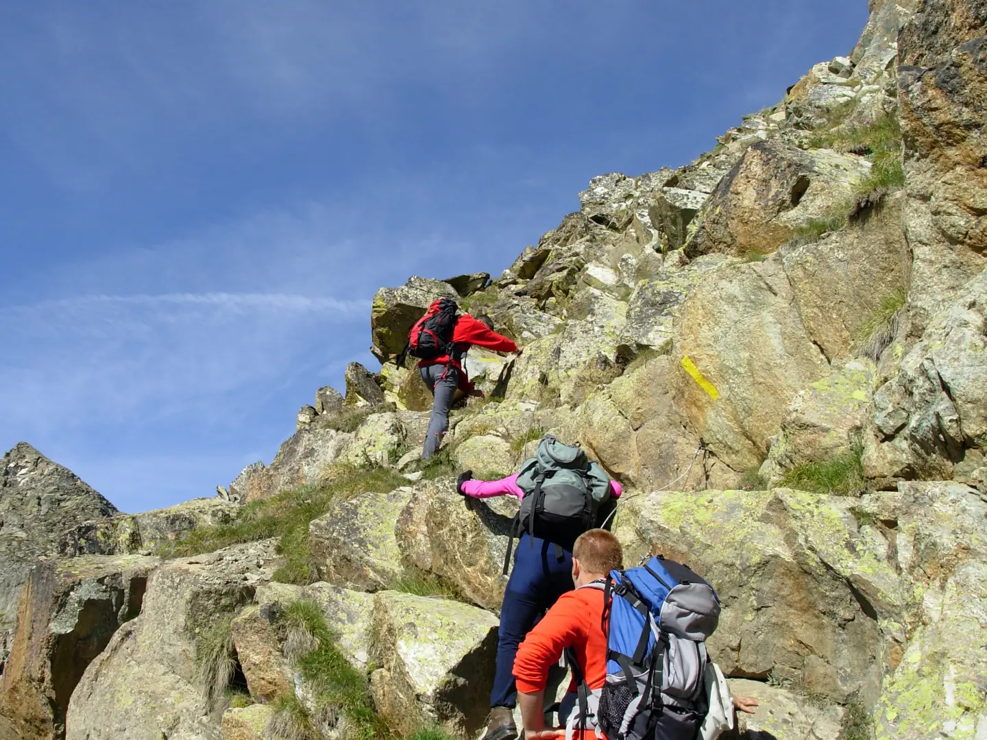
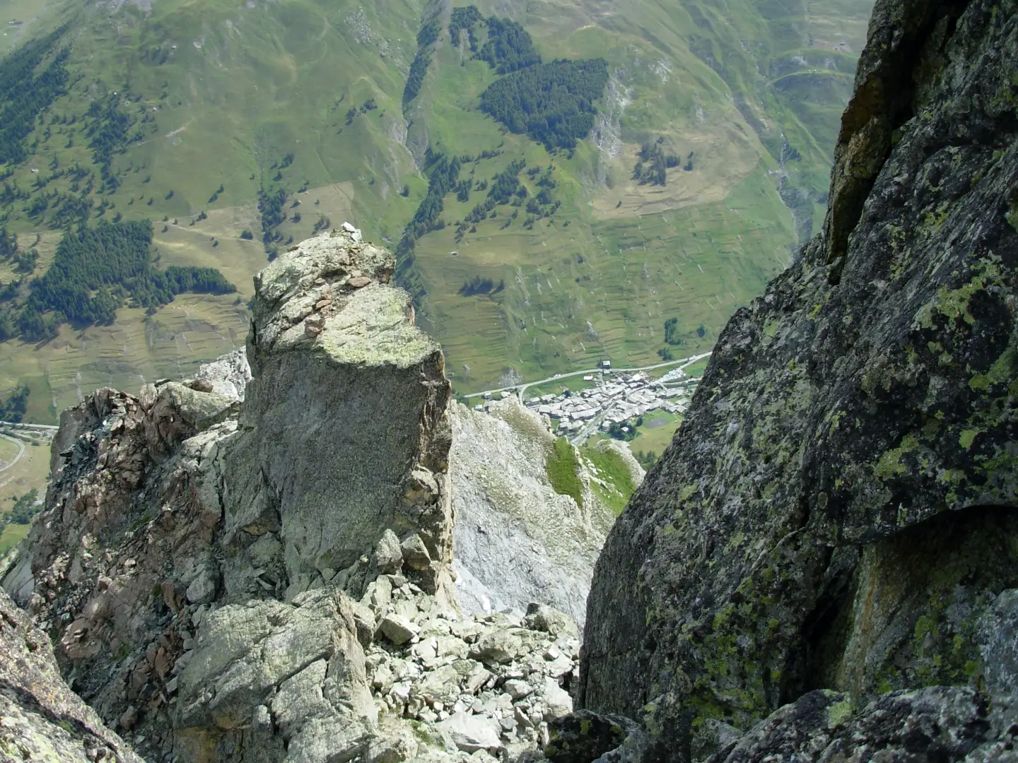
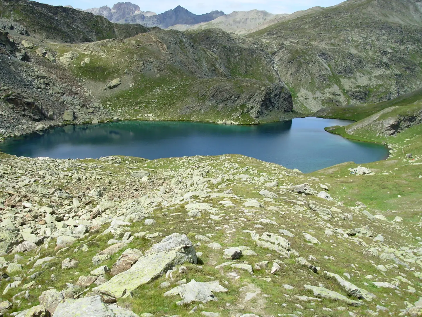
The path bends to the right and climbs until it meets a small barrack. The path now becomes a track that starts to the left of the barracks and with numerous twists and turns, first over landslide terrain, then on a grassy slope and finally over rocks that are a little unstable at times, it reaches the col at an altitude of 2841 metres. Superb views of the Black Lake and the Blue Lake.
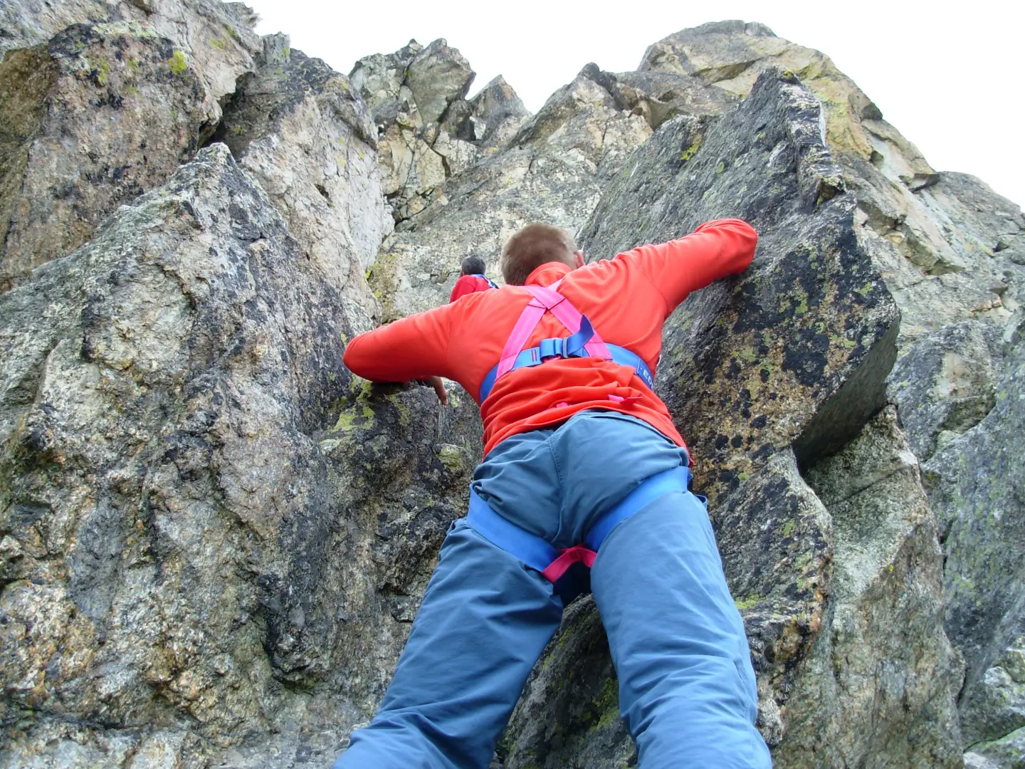
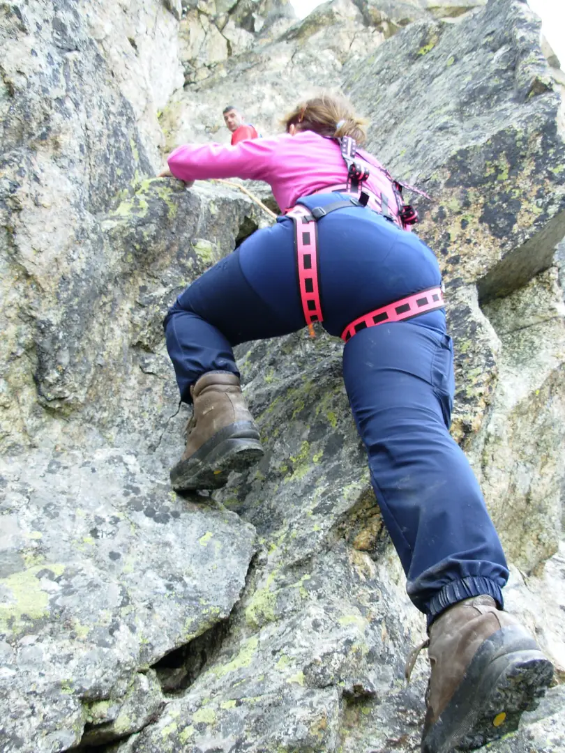
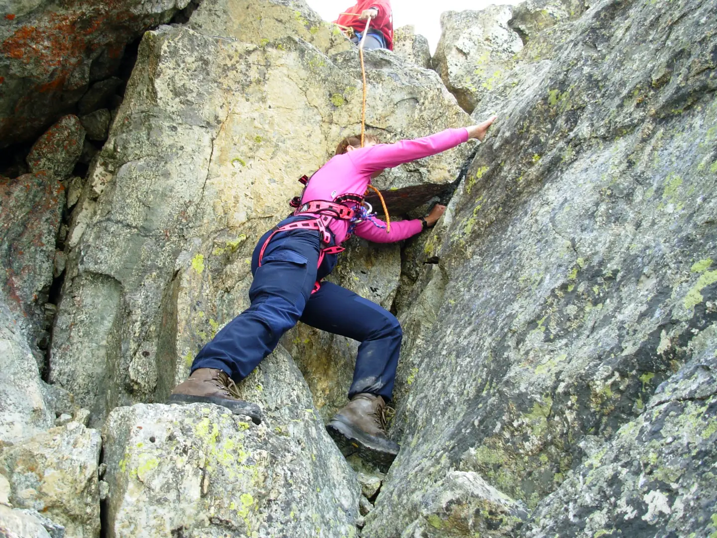
Holding on the harness, turn right to arrive, on rocks, at the attack of the wall O. First face a dihedral, then turn right on sloping slabs that lead to another dihedral (passage III). After an amusing climb on compact rock, you face an aerial section to pass to the tooth on which the summit cross is located.
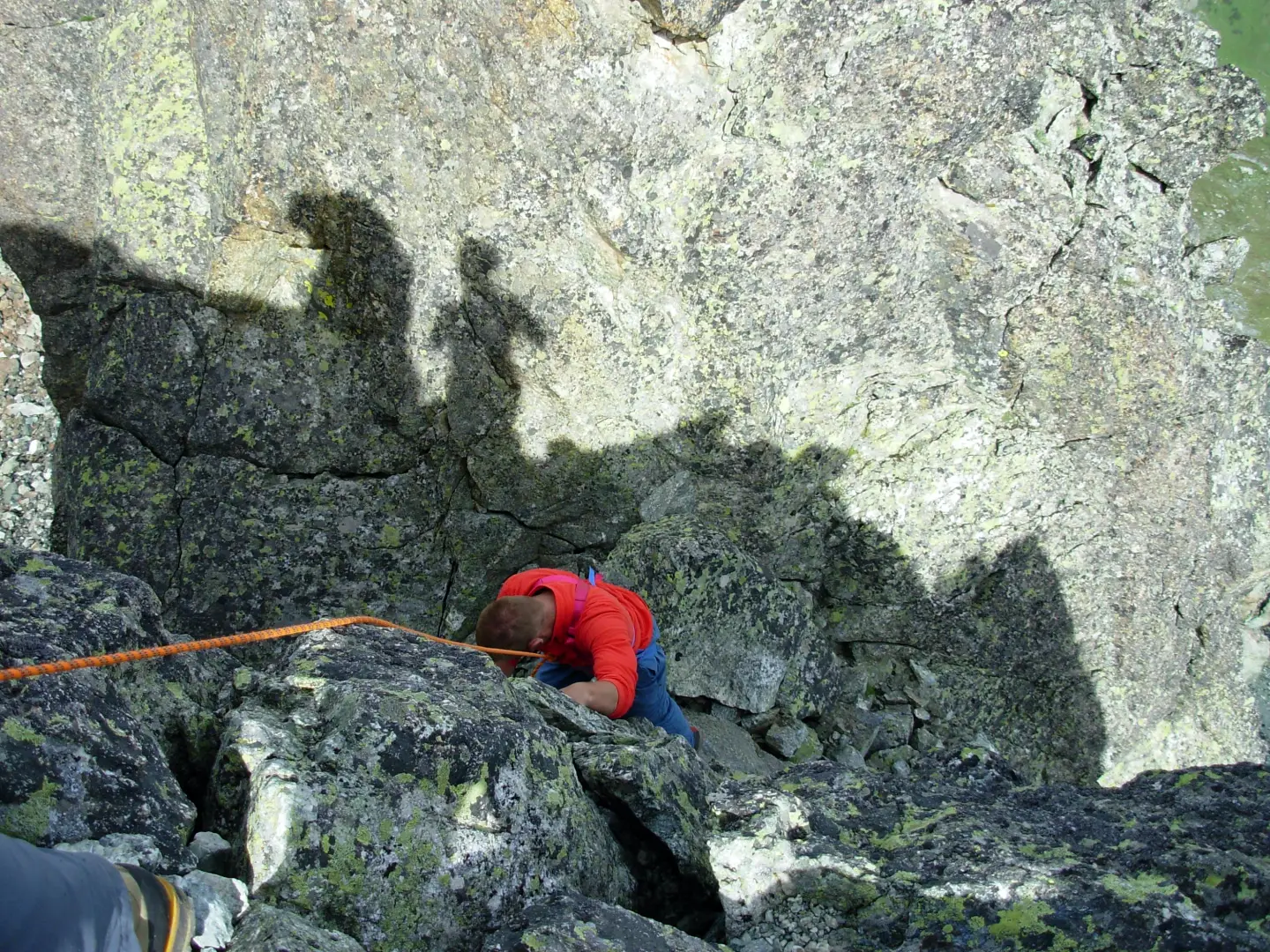
The descent can be made on the opposite side, facing a vertical passage that leads to a chimney below which you unclimb without excessive difficulty between cracks and small dihedrals. The mountaineering part ends with the return to the col across somewhat less stable boulders. From the col, descend on a steep and slippery slope of unstable debris, being very careful not to drop stones that could run over fellow climbers or any hikers ascending towards the col. You then cross some boulder-strewn areas until you reach the grassy bumps around the basin of the beautiful Black Lake (2591m).
From this point, the path descends to the right of the drainage to the junction with path , which leads from Chianale to Col Longet along the Valle Antolina.
This is a very popular route that crosses some of the most pleasant places in the upper Varaita Valley.
After a series of bumps you enter the larch wood until you reach the dirt road and the bridge where the car park is located.
The path is also suitable for walking.
Galleria fotografica