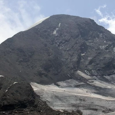
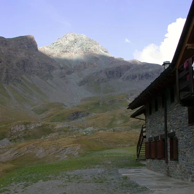
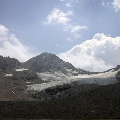
Punta Tersiva, from Rifugio Sogno di Berdzè
Introduction
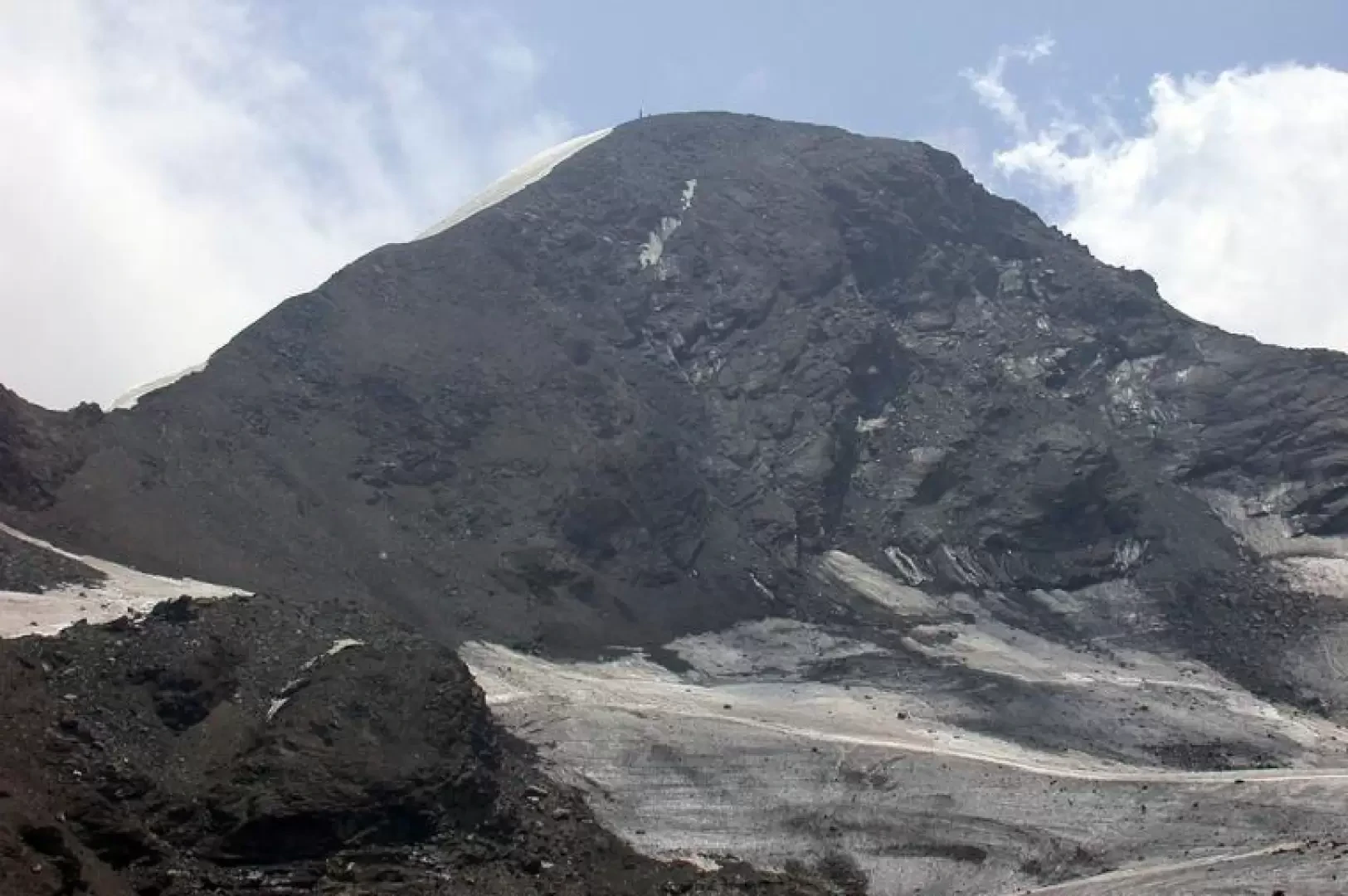
La Tersiva is an imposing peak located practically in the centre of the Aosta Valley.
Description
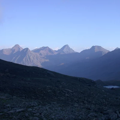
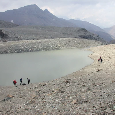
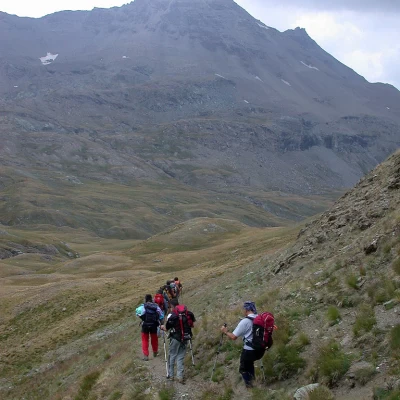
First day Proceed to the end of the car park until you come to a series of signposts: continue along a small road that runs alongside the Urtier stream until you take path (13) on the left. At first, climb quite steeply into the forest and, having passed a dirt track, continue straight on, leaving the diversion for the waterfalls and the rock-climbing wall to the right; you will reach a little chapel on a panoramic promontory and, after a short ascent, cross a little pastureland to pass first just below the Etsélei pastureland and then in front of the Goilles desot pastureland (1834 m). Still on the level, continue along the dirt track to reach a signpost on the right for Bardoney, which takes us down a few metres and across the stream on a little bridge. Continue along a well-marked path, climbing up into the wood with comfortable hairpin bends until you reach a small grassy plateau where there are signs indicating that you should continue on the left, leaving the path for the Bardoney valley on the right. Cross the stream on a small wooden bridge and begin to climb up to skirt a promontory, coming across the Teppe Longues park ranger's hut (2156m) along the way. At the end of the short ascent, the upper part of the Urtier valley appears in front of us, dominated at the bottom by the Tersiva, while behind us we can admire the Grivola group. The route, with some ups and downs, winds its way halfway up the slope with slight inclines among the last conifers and low vegetation for the entire length of the valley, passing above the Broillot mountain pasture and, after crossing two streams on as many wooden bridges, moving towards the centre of the valley, approaching the farm track. Having reached the track, and now in sight of the hut, we follow it for about ten minutes and thus reach our destination.
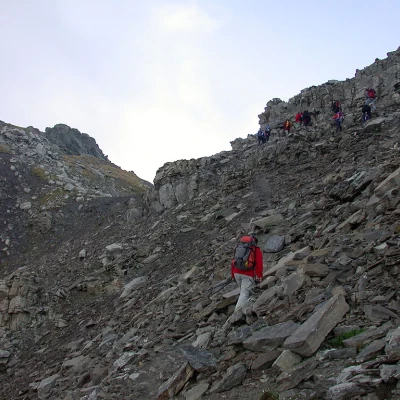
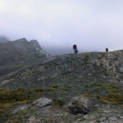
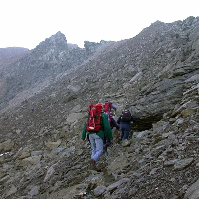
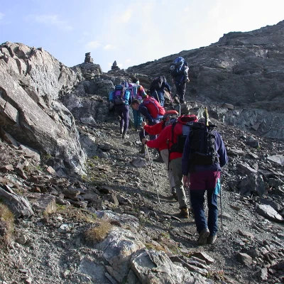
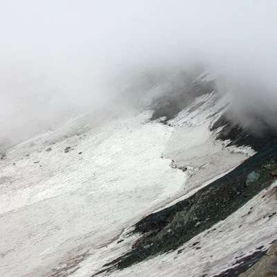
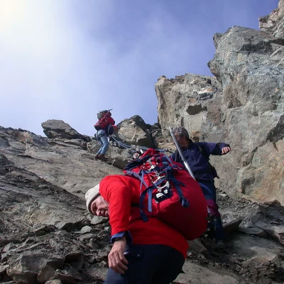
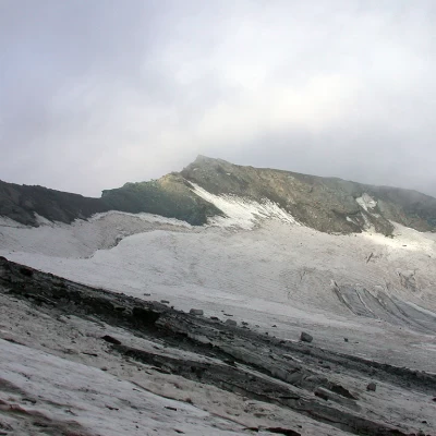
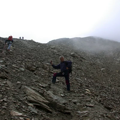
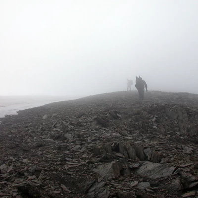
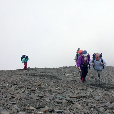
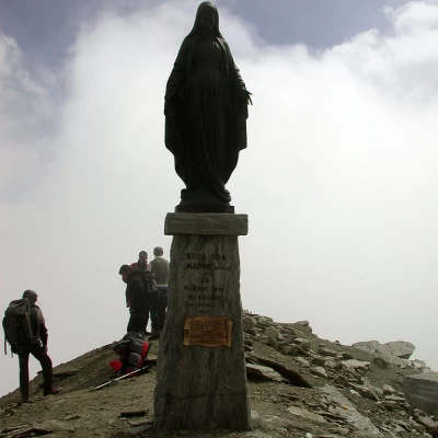
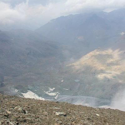
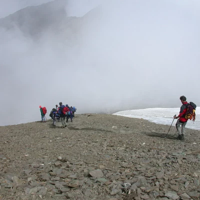
Second day From the mountain hut, descend the farm road, trail marker (10), to a crossroads at an altitude of 2360m: Here, turn right and start climbing up a second farm road, signposted (10D), which first leads to the pastures of Pianas (2405m), then, after a hairpin bend to the right, you will come to the fork to the Invergneux pasture, which should be neglected. Finally, at an altitude of about 2600m, leave the road and take the path that branches off to the left - again signposted (10D). Follow the path, which in a long, half-steep cut climbs the slope until reaching the Invergneux pass (2902m, 2h00'). From the pass, the actual route to the Tersiva begins; in the first section, follow a faint track that meanders over the boulder field. The route is quite logical, first keeping to the left, in the Grauson valley, and then following the edge of the watershed in the vicinity of the Serra buttress. You will soon reach a col, after which you will keep to the Urtier valley and cross the Serra slope halfway up to its summit at an altitude of around 3200m: here you are practically on top of the Tessonet glacier. You now face the most challenging section of the route: to set foot on the glacier, you have to descend a rocky step of several metres. The section is equipped with a piton, which can be useful for belaying (especially in wet or icy conditions); you descend the step and reach the glacier. Here you put on your crampons and proceed with a long cut, practically level, leaving the Tersiva on the right. The glacier has a few crevasses but is not very tormented, the only danger being the stones that can fall from the summit. After having walked all the way across the glacier, you set foot on the detrital terrain again; with a few twists and turns, you reach the path coming from Gimillan that leads to the summit and, shortly afterwards, you reach the Tersiva pass (3310m). The last two hundred metres remain; fatigue begins to set in and the stretch along the north ridge is quite demanding, in terms of gradient, although there is an obvious track. Go up the track, leaving the tongue of snow that practically envelops the ridge to the left. The panorama definitely opens up until reaching the summit of the Tersiva (3512m). Return along the same route to the fork for the glacier: here you can either return along the outward route or go straight on and descend the entire Grauson valley to Gimillan. If you choose this option, remember that it would be useful to have left one car here at the start in order to be able to conveniently return to retrieve the other in Lillaz. Photo gallery
