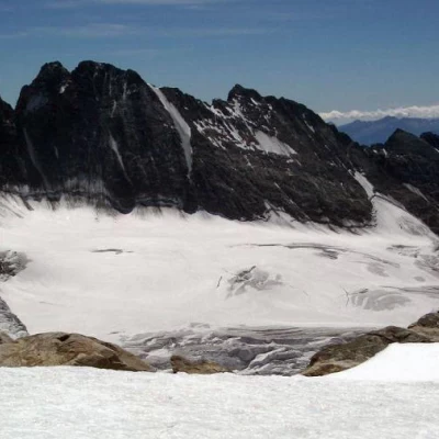
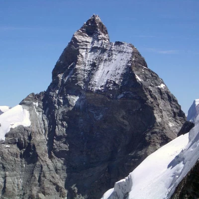
Tête de Valpelline, from Place Moulin
Access
Leaving the motorway at the Aosta Est barrier, turn right and take the dual carriageway to follow for 8.4 kilometres. At Signayes, turn right onto the regional road following the signs for Bionaz/Laravoire. Pass a roundabout and continue on the regional road along the entire length of Valpelline. Drive through the villages of Valpelline, Oyace and Bionaz and, after about 27 kilometres, you will reach the car parks near the Place Moulin dam. From 1 May to 31 October, parking is chargeable (1€ per hour - 9€ all day). Non-paying car parks can be found about 600m before the dam.
How to get there with GMaps
How to get there with Apple Maps
Introduction
Normal route along the north-west slope.
Description
First day
Leaving the car near the dam, we proceed along the dirt road that leads to the Prarayer Refuge. The first part of the route runs along the northern side of the lake and is a pleasant walk for those who enjoy colourful suggestions: in fact, the turquoise colour of the water is not easy to forget. After about 45 minutes' walk, we cross the stream that descends from the Comba d'Oren and come to the small chapel of La Lé (1992m) and a characteristic renovated rascard; we continue slightly uphill until we first come to an alpine pasture and then to the Prarayer hut (2005m, 1h00').
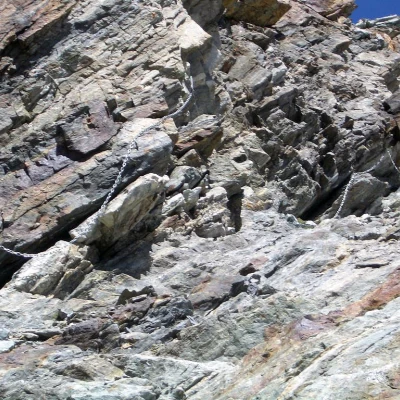
We pass the hut following the signs for the Aosta hut (10A) along an almost flat stretch through the larch forest; after a few minutes, we cross the Braoulé stream on a pair of wooden footbridges until we reach the crossroads for the Bella Tsa alp near a wooden bridge. Turn left and start climbing up a steep slope passing near a monumental larch tree. You come out of the forest and begin to walk along a stretch halfway up the slope, turning slowly to the left and entering the Tsa de Tsan comba. One enters the splendid glacial scenery of the valley, proceeding by alternating flat stretches near the Buthier with rapid ascents on detrital moraines. Towards the end of the plateau, we reach the fork for the Tsa de Tsan (2520m, 3h30'): here we meet a small bridge that takes us to the orographic left of the Buthier and proceed in the direction of the hut, now visible. We now proceed on morainic terrain, marching over debris and scree covering the ice; we cross a natural bridge, where the Buthier river rises, reaching the foot of a rampart of ferruginous rocks. Here begins the equipped route: convenient rungs accompanied by chains allow some difficult passages to be overcome due to the rocks smoothed by glacial erosion. In a short time, the scree slope below the hut is reached, which after a series of hairpin bends is finally reached (2781m, 4h30').
The hut has recently been refurbished cosily and well finished.
Second day
At the top of the hut there is a steep path that climbs between rocks and loam until it crosses the small moraine valley to reach the base of the ascent equipped with chains that leads to Col de la Division (3314m). Although the chains do not present any difficulties, they allow a safe descent in case of snow or ice considering the mediocre quality of the rock.
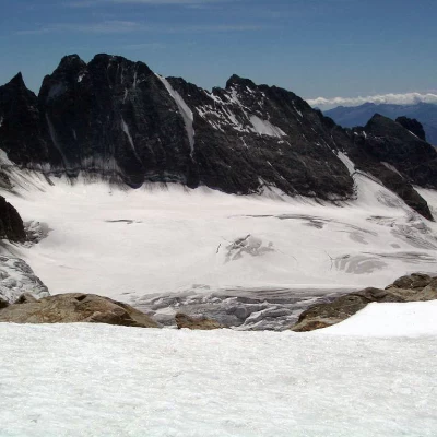
At the pass the glacier opens majestically and is skirted by climbing up a moraine to the end of it, so it is advisable to tackle the ice on the steep mid-slope where the inclination allows a not excessively demanding ascent, this is to avoid the long circumventions of the crevasses.
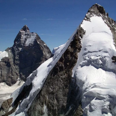
A series of small hollows follow up to the summit where the view opens up over the Cervino and the Dent d'Herens, the latter being a much more challenging peak that uses the Aosta hut itself as a starting point.
The descent follows the ascent route with a long walk that, considering the monotonous flat sections, seems never-ending, however the wide and spectacular views repay the effort of the descent.
General information
Path:normal from Place Moulin to the Aosta Refuge
Signpost: 10A then s.n.
Type of route: a/r
Recommended period: July, August, September
Objective Danger:be aware of the presence of crevasses
Exposure to the sun: southeast
Exposed Tracts: Col de la Division
Mountaineering Grade: I
Equipment: Rope, harness, ice axe and crampons
