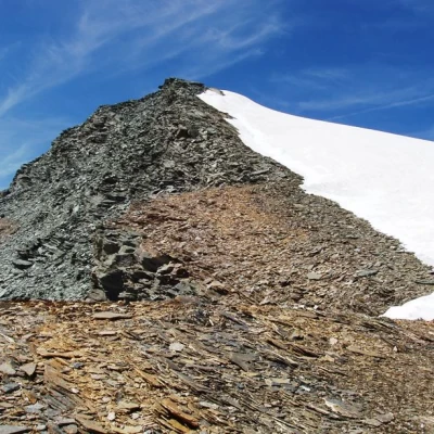
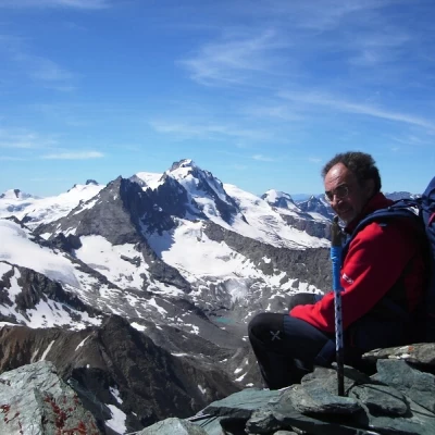
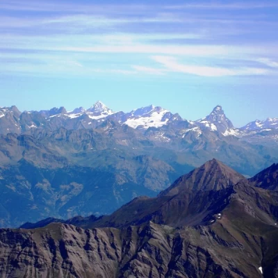
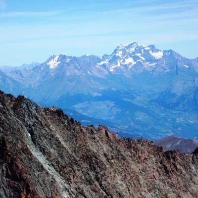
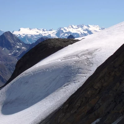
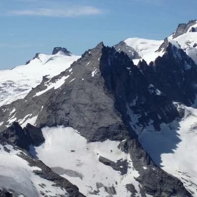
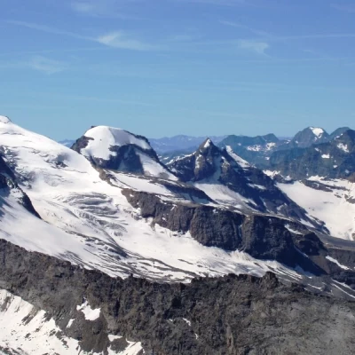
Punta Nera della Grivola, from Valnontey
Access
Leaving the motorway at the Aosta Ovest exit, turn right and take the Valle di Cogne. Pass through the village of Aymavilles and after 1.3 kilometres at a roundabout take the second exit. Go up the regional road for 19 kilometres passing through the villages of Vieyes, Epinel and Crétaz until you reach a roundabout: take the first exit onto Avenue G.F Cavagnet, to be followed for about 350 metres. Inside the village of Cogne turn right and take the small road that after about 2.7 kilometres reaches the village of Valnontey anticipated by the large car park 🅿️ to pay (from 8am to 8pm - 4€ full day) located on the right of the road.
[0h33'] - [23,3km]
* How to get there with GMAPS
* How to get there with Apple Maps
The information provided here has been verified at the date of the survey of the itinerary. Before setting off, you should make sure that no substantial changes have occurred on the route to the starting point. We therefore recommend the use of the satellite navigation apps provided by Google or Apple for up-to-date and detailed directions.
Description
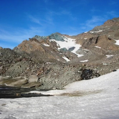
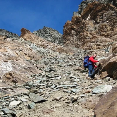
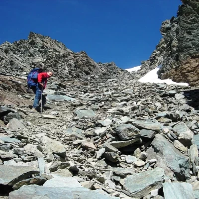
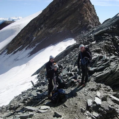
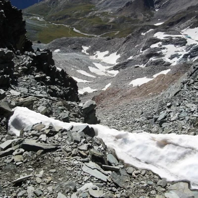
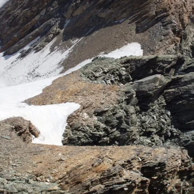
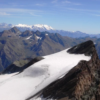
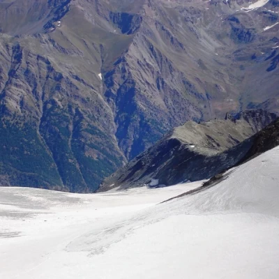
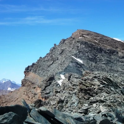
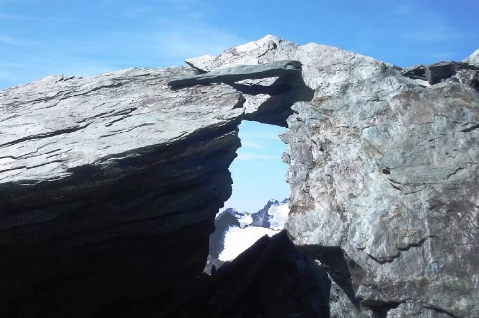
From Valnontey to the Vittorio Sella refuge by mule track and path (2h30'). From the Sella, follow the path to the Col Lauson until the junction with the path to the Col della Rossa. The latter leads past the prominence that supported the now extinct Rossa glacier, where the path is abandoned. Turn left between debris and snow residues towards a track that can be seen cutting across the scree below the Rossa peak. Follow this track until below the vertical of the gully leading to the Nera pass, where it gets lost or confused with the descent tracks. Climb this section to the mouth of the gully, it is the most tiring section, probably the best route is on the left. The gully is 120 metres high, and it is relatively easy to ascend it to its outlet where the Trayo glacier is located. If you wish, you can ascend the glacier to the left with some steep sections, with the necessary equipment. Continuing along the ridge, the first steep rock ledge is overcome without difficulty on tracks, then the slope decreases, and the track almost becomes a path that leads with a panoramic walk to the airy summit. On the descent, before the col, on the small rocks, stay a little to the right and do not be fooled by the tracks to the left that descend onto the glacier, 4 hours from the Sella.
