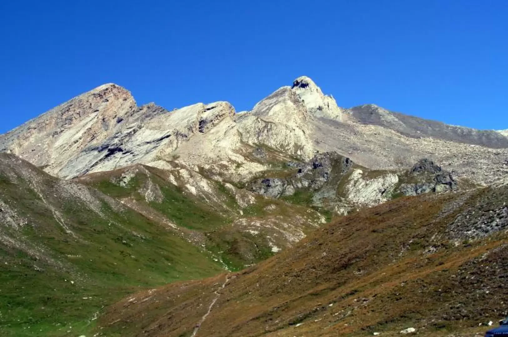
Pic d'Asti

Access
Torino-Savona motorway, exit Marene-Bra. Take for Savigliano and turn left at the roundabout for Costigliole Saluzzo. Follow signs for Valle Varaita . Continue along the provincial road and go past Chianale towards the Colle dell'Agnello . Just below the pass, at an altitude of 2540 m, park on the right near a small lake.
.Introduction
The Pic d'Asti is a beautiful mountain with rocky, precipitous flanks that rises on the border ridge between Italy and France to the north-west of the Sella d'Asti and to the south, south-east of the Rocca Rossa. Short climb on easy (II) but exposed and steep rock.
.Description
From the small lake, climb in a N-E direction first over pastures, then over scree and scree until the increasingly steep path leads to the Sella d'Asti (3123m). From here, turn left, descending briefly on the French side. We then climb up a small gully to reach a ledge and rocks that lead to the Torre Gina notch. One then follows the entire crest, which is easy at first but becomes steeper and more exposed as one reaches the summit. Climb the ridge line on almost vertical rocks and move briefly to the right, from where it is possible to continue directly along the ridge to the summit, consisting of a narrow crest and a cross with a Christ medallion and commemorative plaques. The descent follows the ascent route.