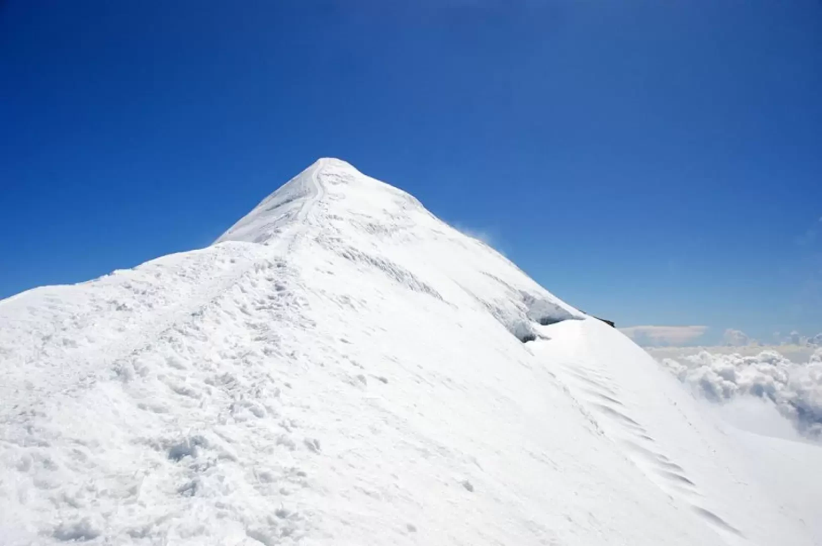
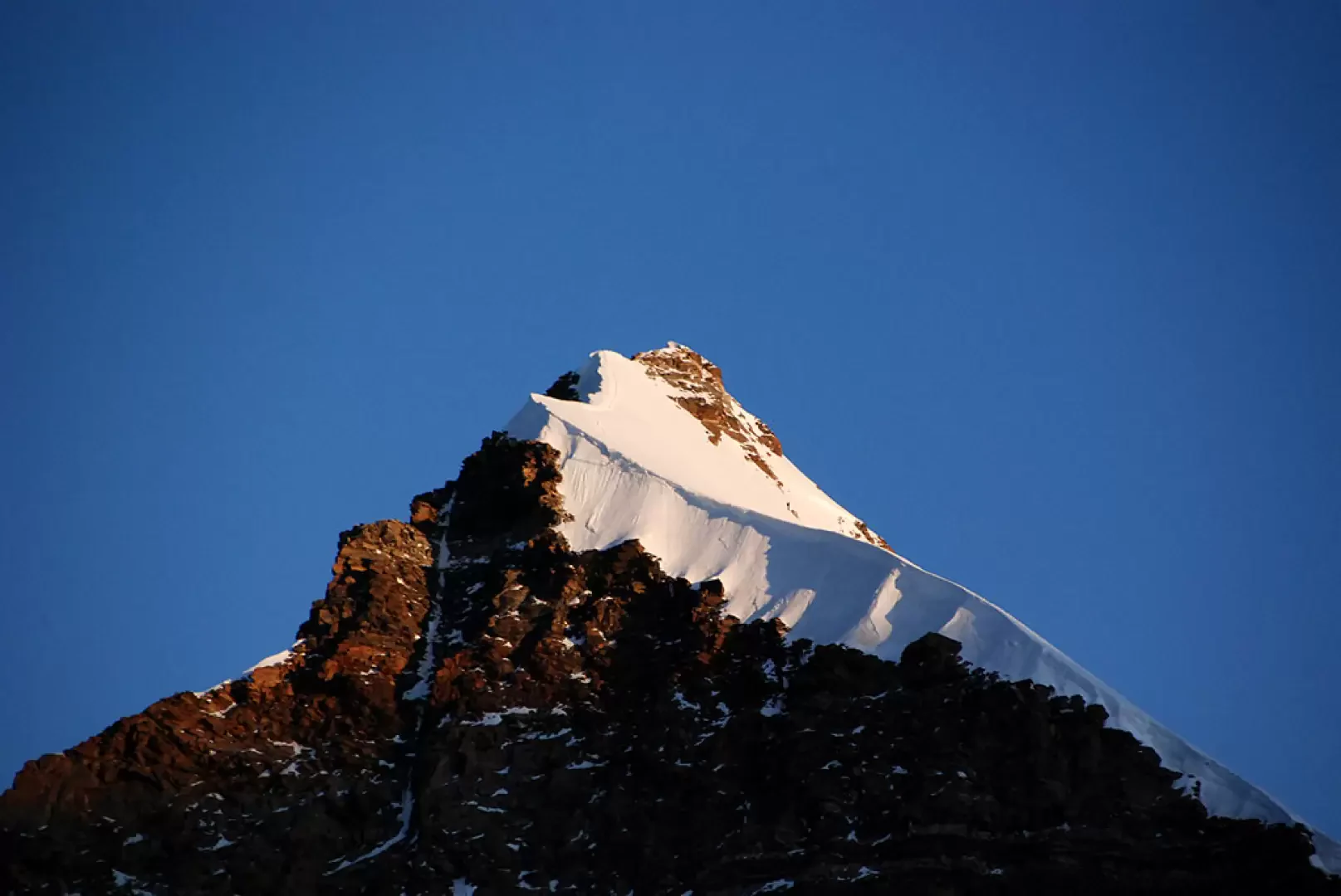
Ludwigshöhe, from the Passo dei Salati

Edited by:
Massimo Martini
Updated at: 03/09/2024
Access
Leaving the A5 motorway at Pont-Saint-Martin, after 100m turn right, pass a traffic light and continue for about 600m to the junction for Gressoney. Enter Pont-Saint-Martin and after 1.2km turn right onto SR44 for the Gressoney valley. After 38.3km, you pass Gressoney-La-Trinité and reach the village of Staffal: in front of the Gabiet cable cars there is a large car park where you can conveniently leave your car. You then climb up to the Passo dei Salati with the Monterosa-Ski cable car.
.Introduction
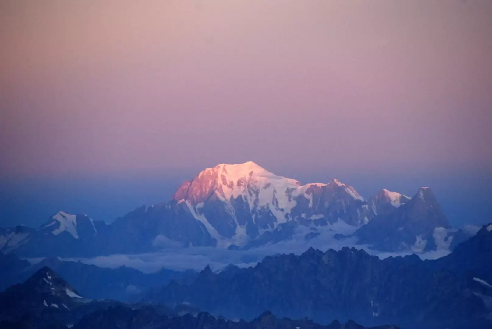
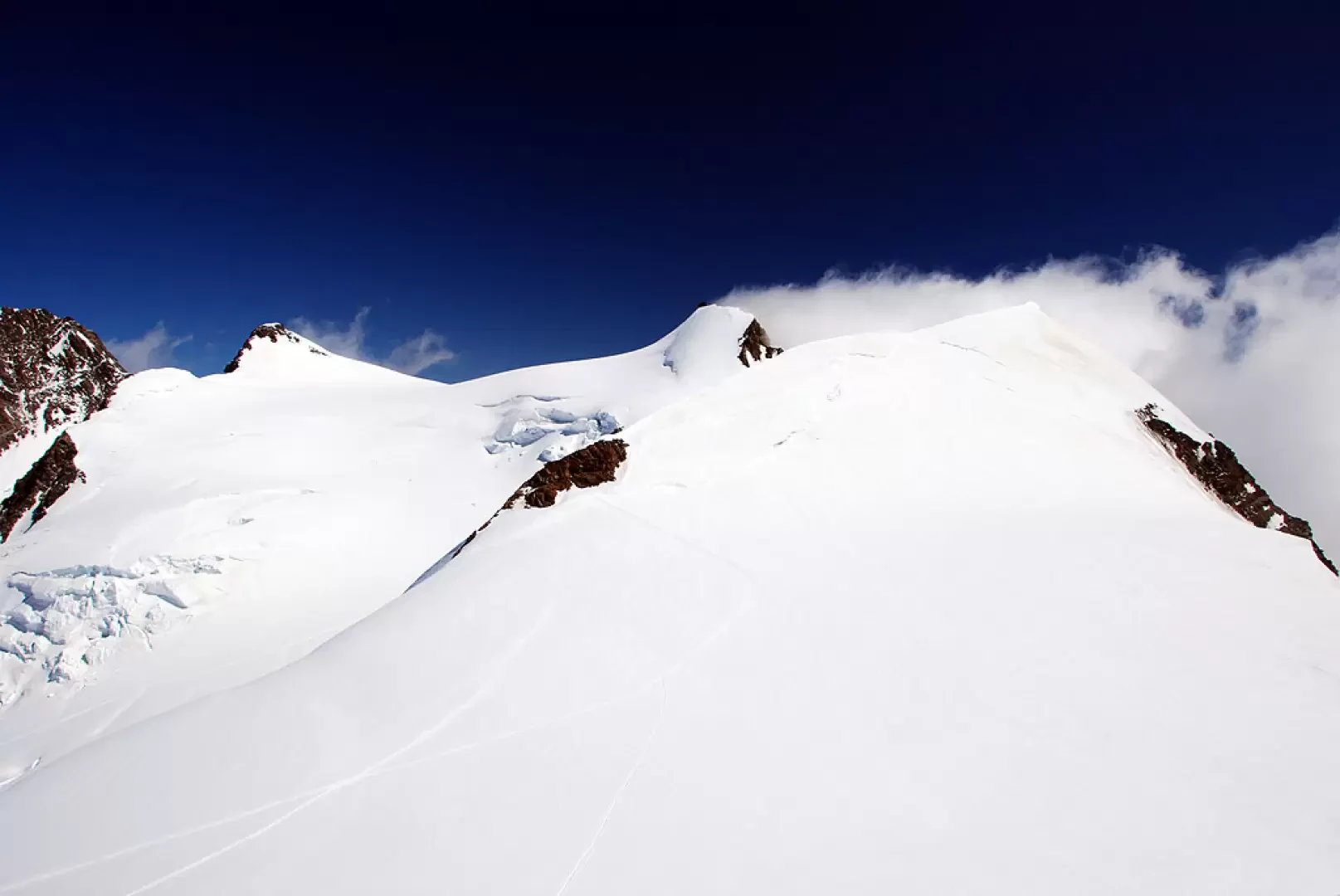
The Ludwigshöhe is a four-thousand metre peak within the reach of all mountaineers. It is often associated with other peaks in the massif, but can still be an interesting destination in its own right. At the summit, one can appreciate the most challenging four-thousanders in the area with an interesting view.
Description
First day
Get to Passo dei Salati with the Tschaval - Gabiet and Gabiet - Passo dei Salati cable cars (approx. 20 minutes).
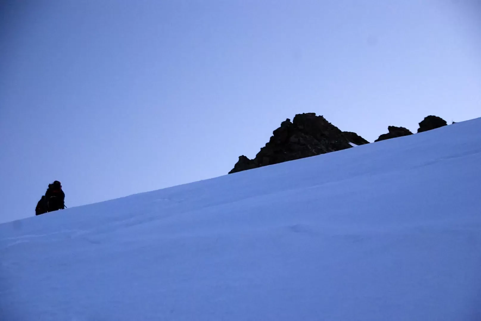
Leave the cable car and head towards the Funifor station, pass the cable car arrival building, turn left and walk back along a dirt track where you will come across some signposts on wooden posts. After about a hundred metres, take the path on the right that goes over a first cliff on broken rocks. A short esplanade full of cairns is reached in front of the Stolemberg. Head towards the summit on the now clearly marked path until you reach a slightly exposed gully: turn right and follow the ledge on the path equipped with a series of canapons. After a couple of twists and turns, leave the Valsesian side and briefly follow the ridge before arriving at a rocky balcony: here, traverse to the right with the aid of a large ladder and begin a short downhill section equipped with a series of canapons; this section is not very easy although it is not particularly difficult. Go over a rocky step with the aid of a pair of metal pegs and continue the descent until you reach the summit of the slope at Colle delle Pisse (3110m, 0h40').
Start climbing again, following cairns and a few sporadic markers; with a couple of bends, you reach a small terrace on which you can see the ruins of the Capanna Vincent hut. Continue uphill until you are practically on the border ridge between the two valleys; opposite appears the uninviting structure of Punta Indren, the arrival station of the cable car until a few years ago. The route in this section is not very demanding and so, without too much effort, we reach Punta Indren (3260m, 1h00').
Second day
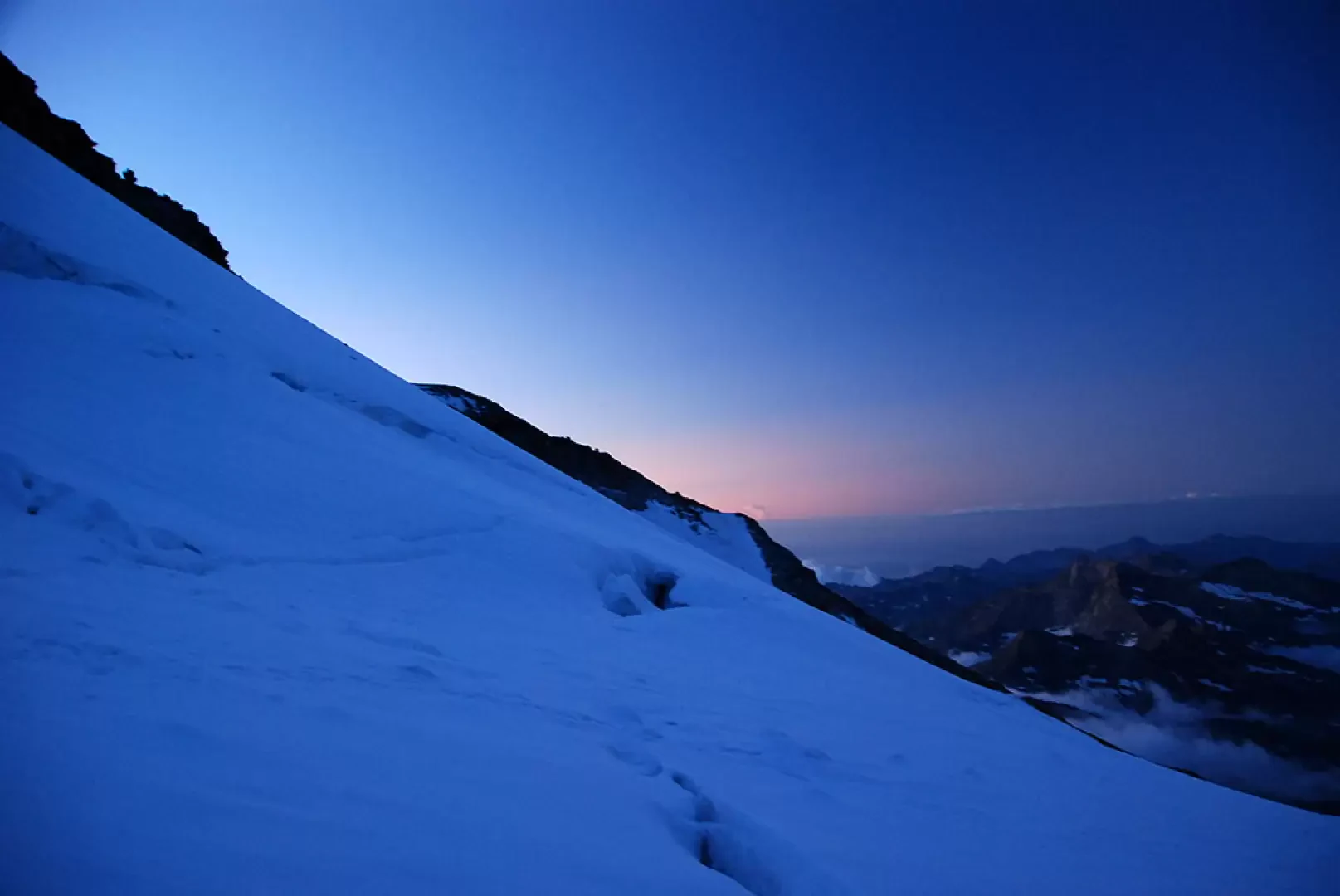
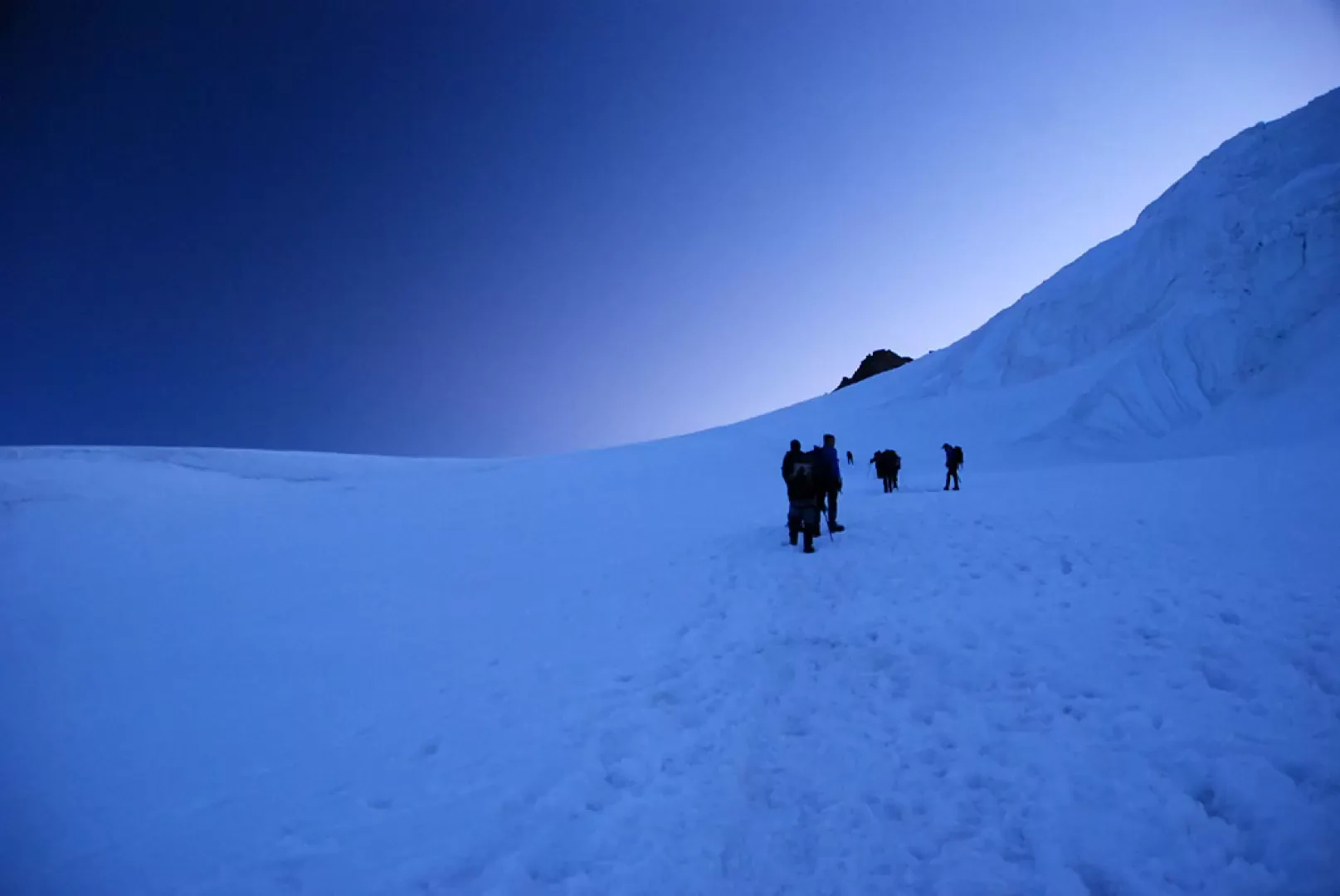
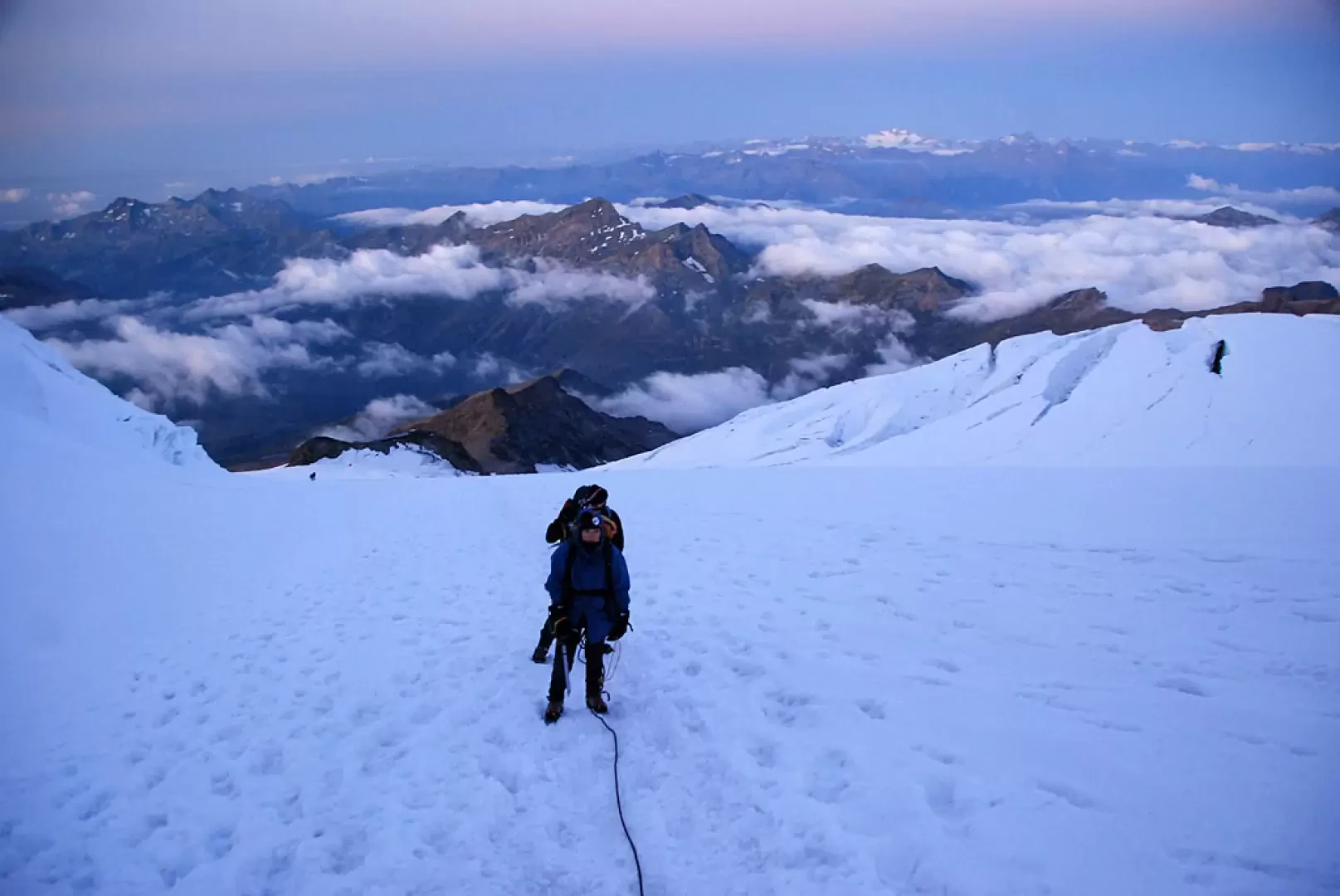
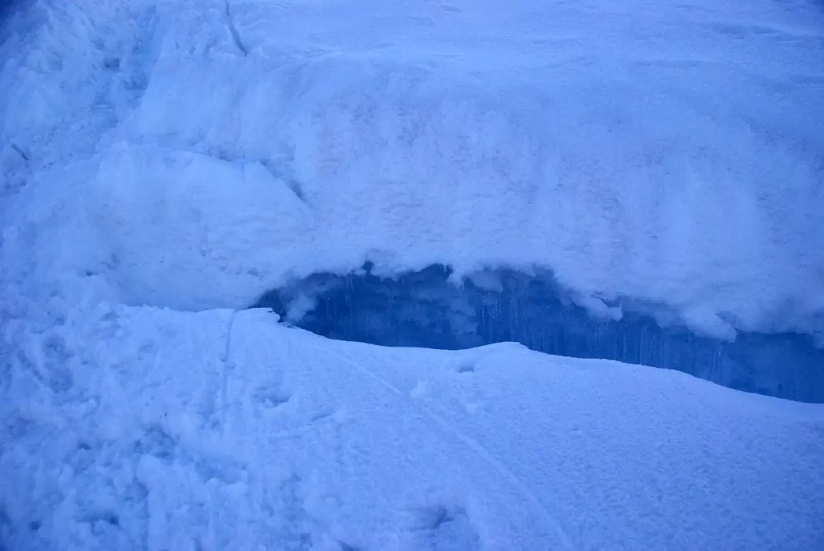
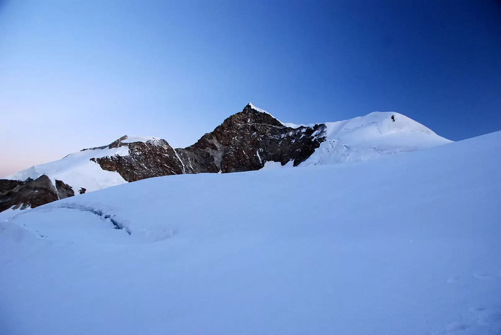
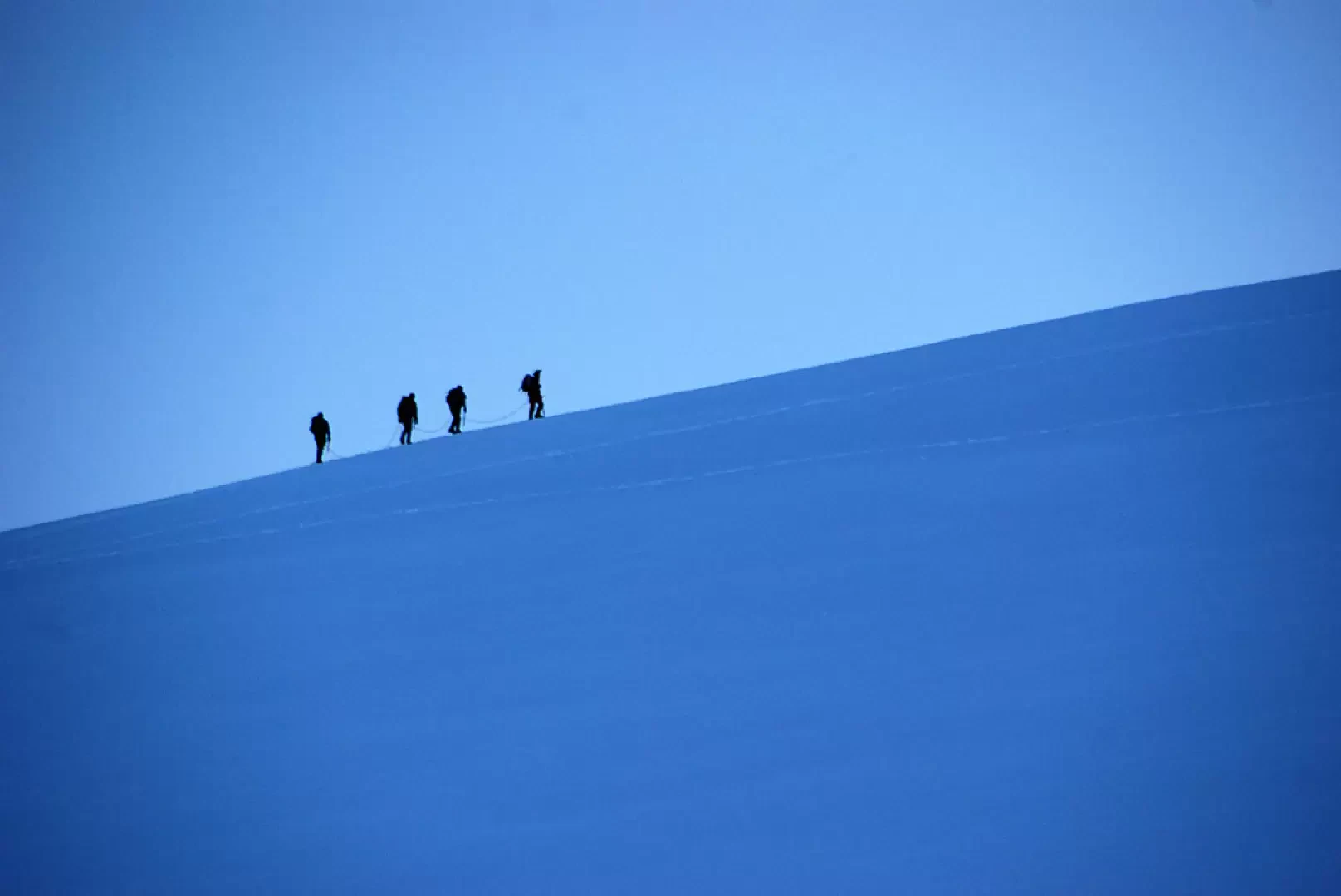
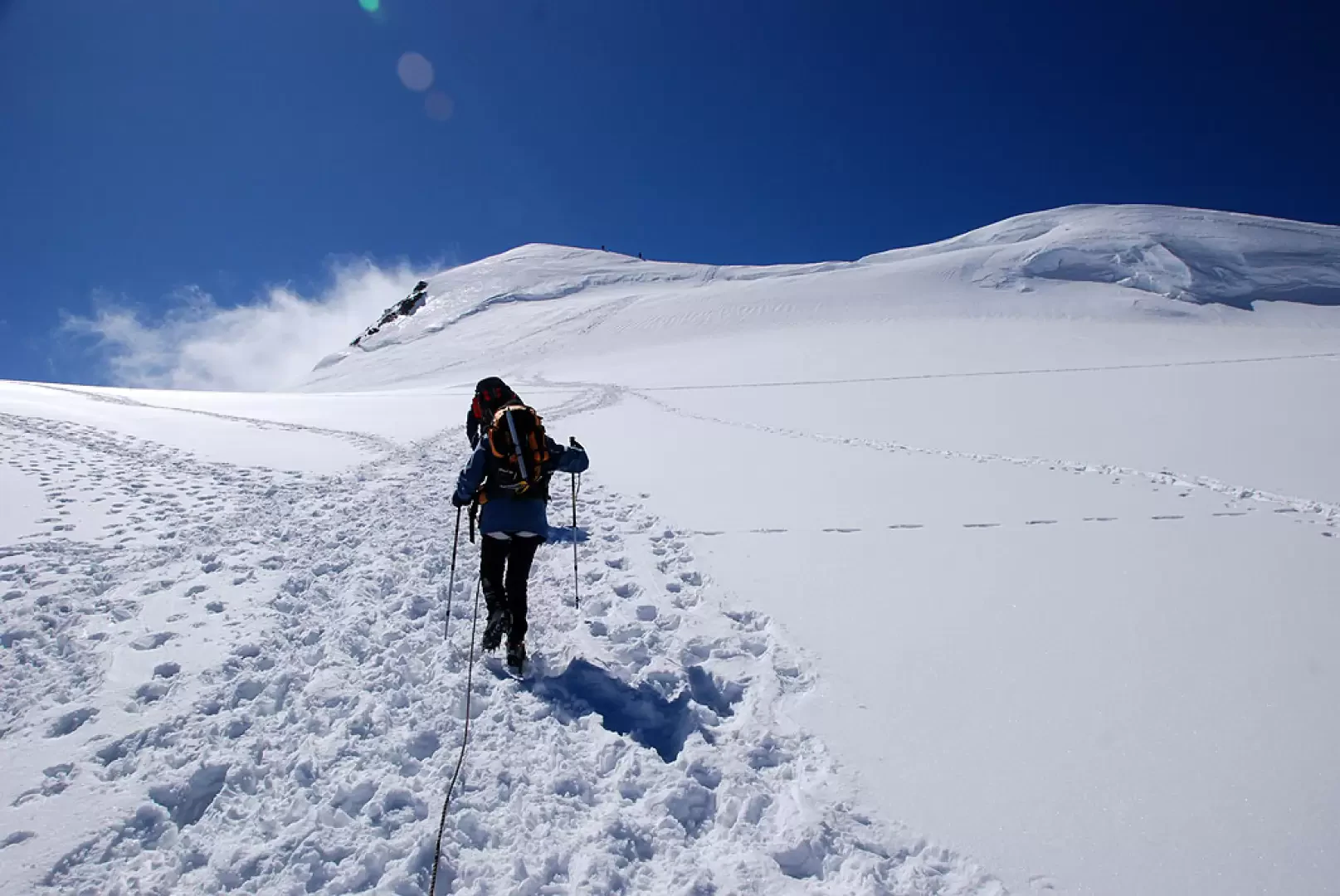
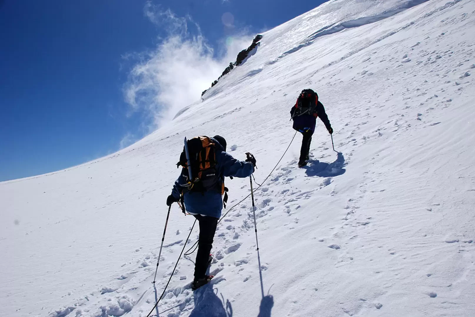
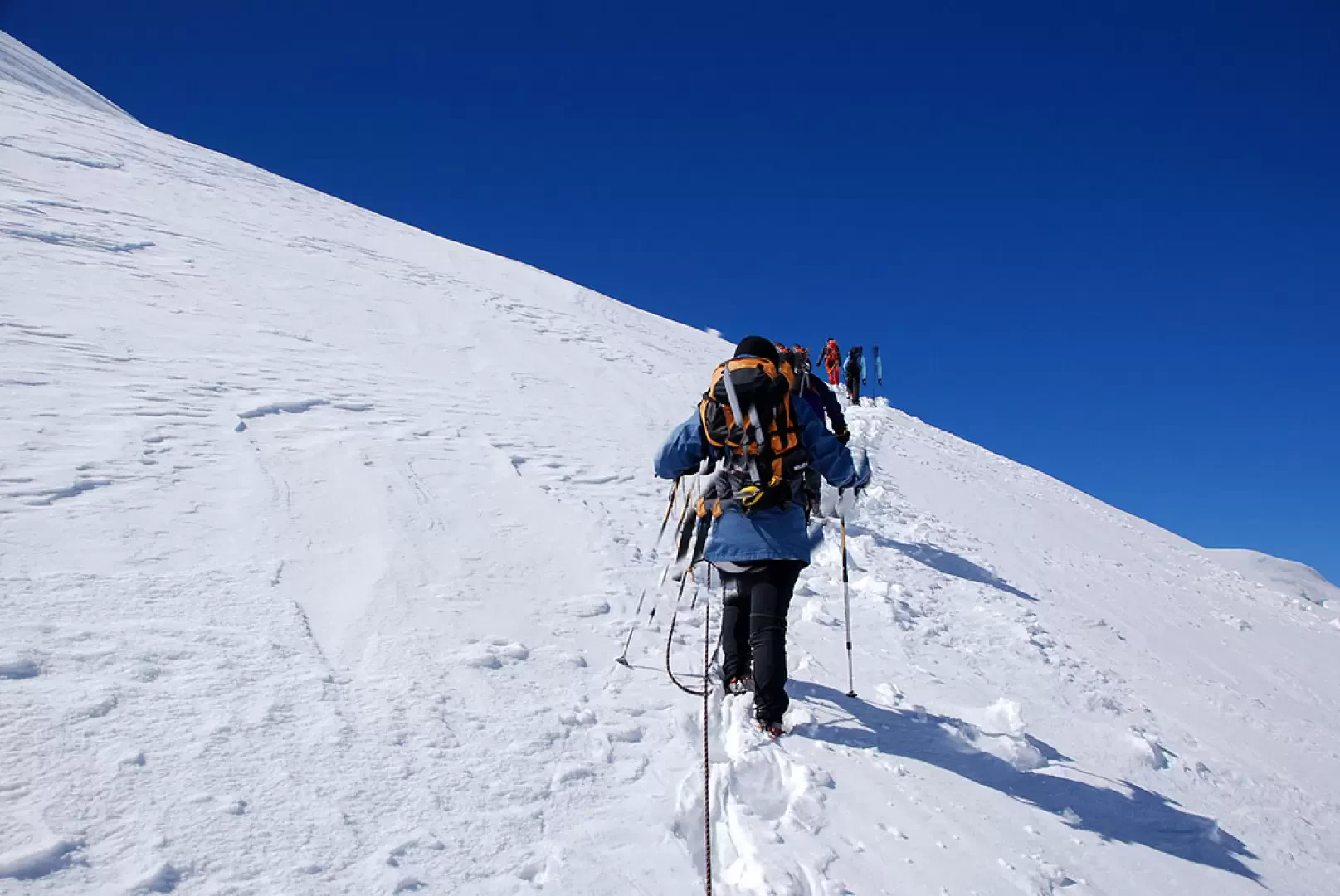
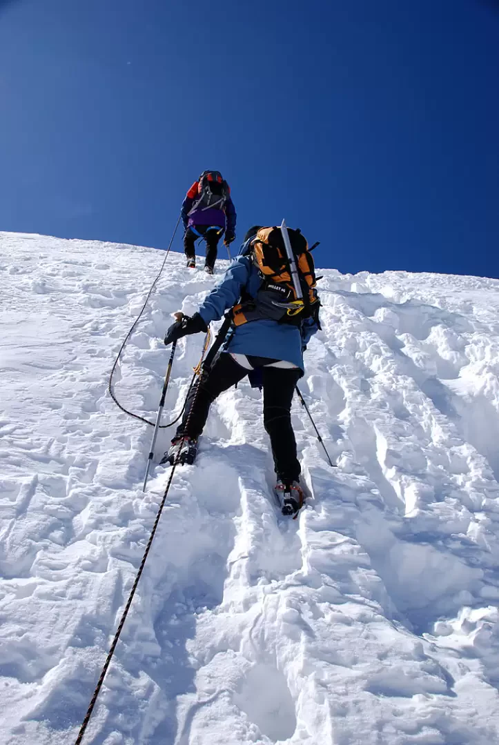
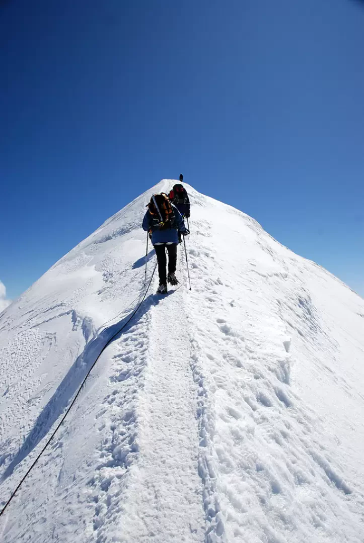
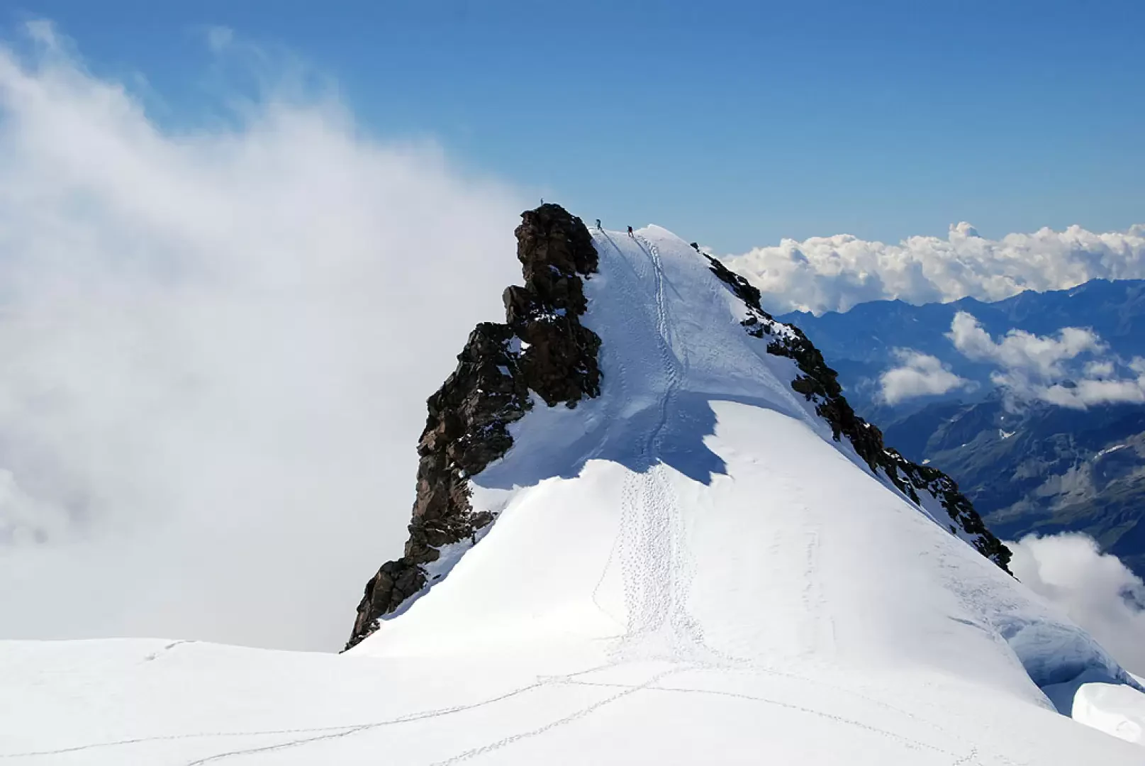
We leave Capanna Gnifetti just before dawn. From the tin hut, where you complete the dressing and roping, descend a few rocky steps until you place your crampons on the glacier. Proceed to the right, avoiding any tents encamped nearby, making a slight ascent towards the track of those ascending the glacier from the Mantova hut. Keep, still following the tracks, a little to the right in order to avoid the most crevassed part and proceed to the most demanding part of the ascent. As dawn reveals the tenacious outline of the Lyskamm, the rocky outcrops of the Balmenhorn appear ahead. You cross a few crevasses on easy bridges (when the glacier conditions are right) and reach a section where the ascent gradient moderates considerably. You reach 4000 metres just near the turnoff to the right for the pass and the Vincent Pyramid. Obviously neglect this route and continue straight on towards the not far Colle del Lys. The track now proceeds to the left and then changes direction to the right to reach Colle del Lys (4255m, 2h15'). Follow the path to the Capanna Margherita for a short distance until the start of the counter slope: here, a track starts off to the right that leads to the Colle delle Piode. After a relatively flat first section, the ascent becomes more accentuated while the route to the summit now appears well defined. Without reaching the col, head to the right, taking you close to the northern slope of the Ludwigshöhe; having reached the track coming from the Parrot Peak, turn right and take a steep traverse that practically reaches the ridge: climb up the icy slope with a fair gradient and you will come out on the ridge. Turn left and climb up the ridge, with a discreet line, to the summit of the Ludwigshöhe (4342m, 3h00').
The descent takes place along the ridge to the point where you came onto it: here you can either opt to return from the northern slope or, to vary the route, you can descend the southern slope to the vicinity of the Zurbriggen pass (4272m); from here you can either join the upward track or continue with the chain of other peaks such as the Schwarzhorn, the Balmenhorn or the Vincent Pyramid.
Galleria fotografica
We have been there

Edited by:
Ermanno Panara
Ludwigshöhe
cima "minore" del gruppo, ma non banale. ultimo tratto su cresta abbastanza affilata, e cima ai minimi termini. Vista grandiosa, come su tutte le cime circostanti. Con questa abbiamo completato un bel trittico di 4000 in giornata.