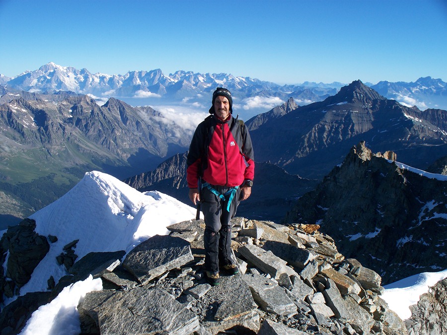
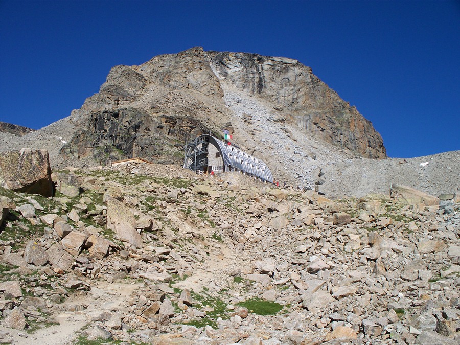
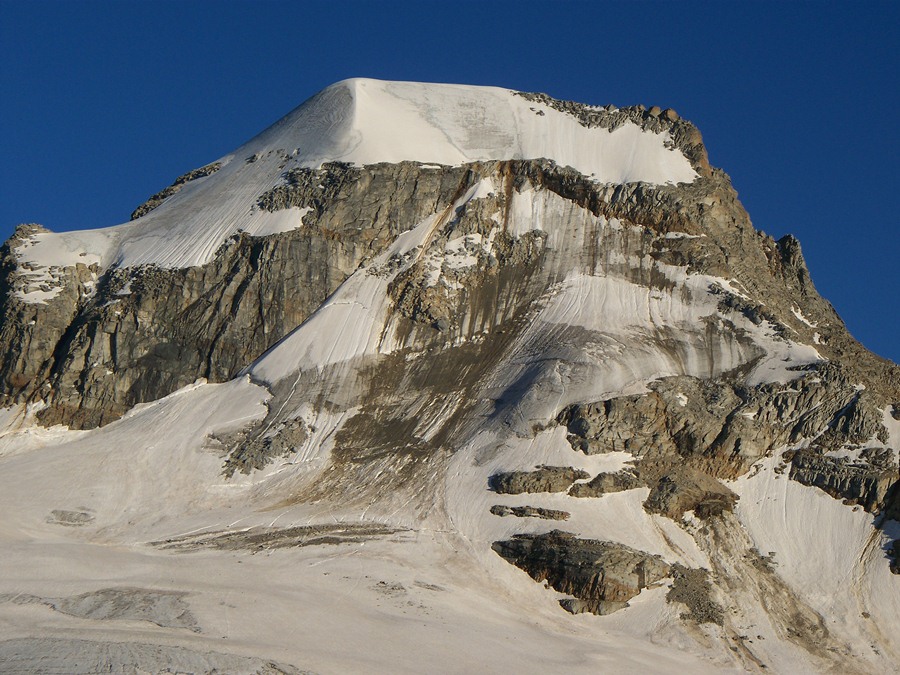
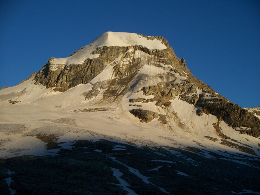
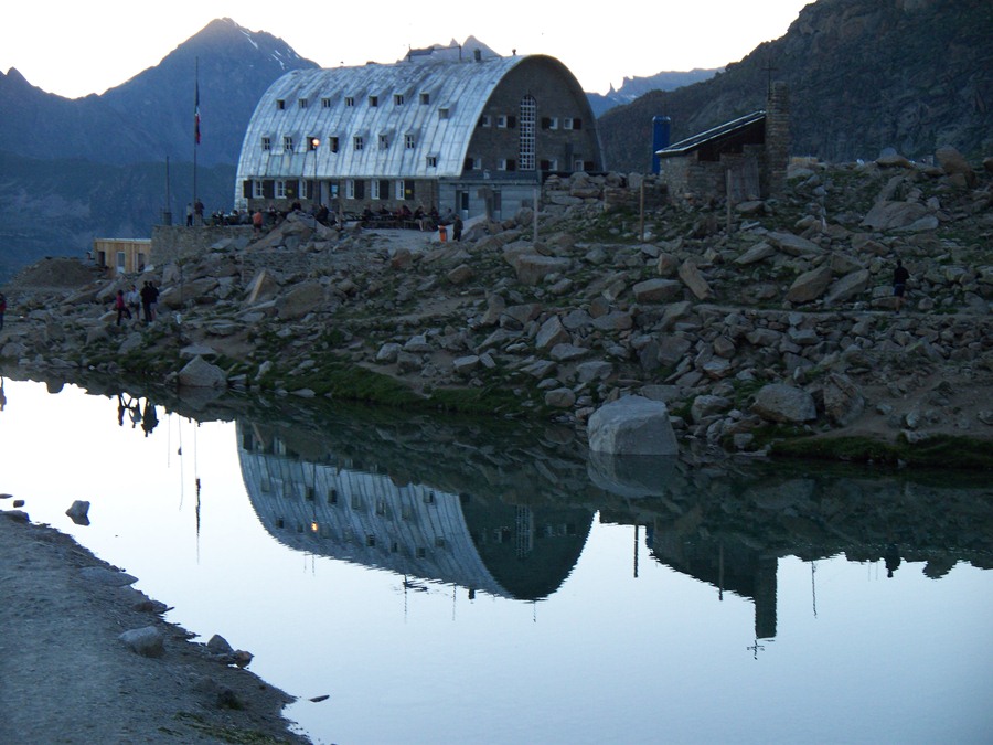
Gran Paradiso, normal from the Vittorio Emanuele II Refuge


Edited by:
capt.crash
Updated at: 19/11/2025
Introduction
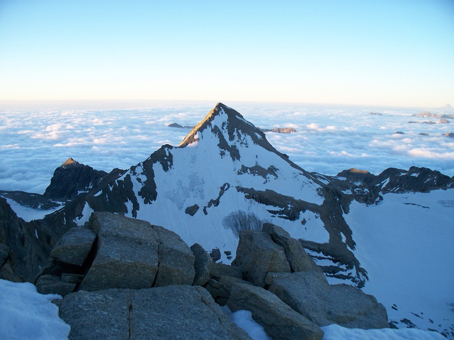
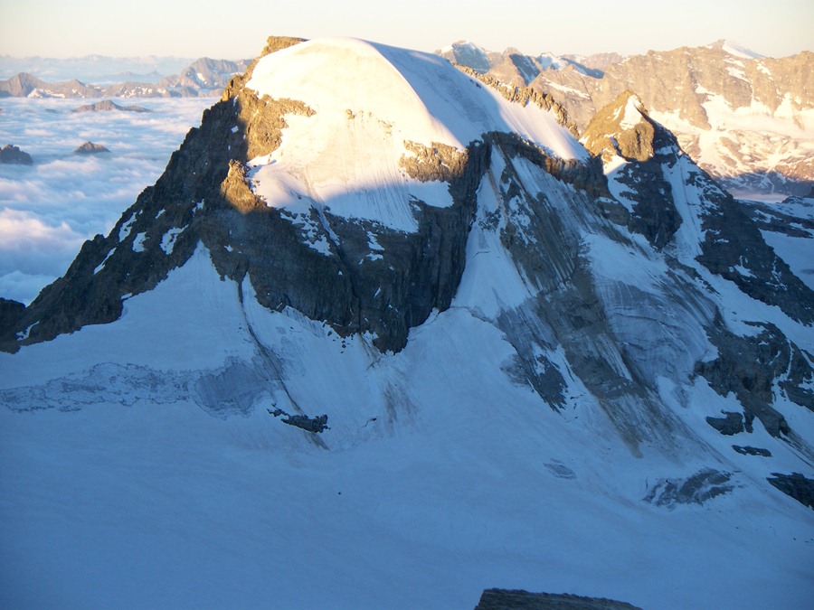
Beautiful excursion in a magnificent but not exactly solitary environment. Two ascent routes are described: the normal route from the Vittorio Emanuele II Refuge, always used during the ski mountaineering season, and the variant that joins up with the ascent route from the Chabod Refuge, used when the normal route is impassable, in recent years particularly in the late season. In contrast to the normal route, this route requires particular attention due to the passage through real seracs throughout the entire development between an altitude of 3400 and 3800 m.
.Description
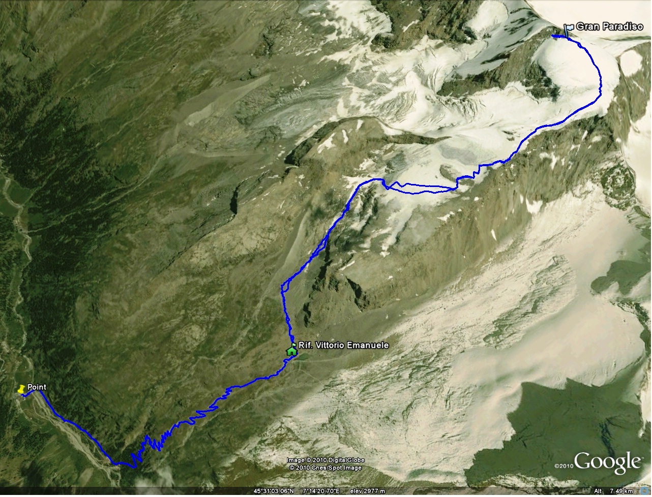
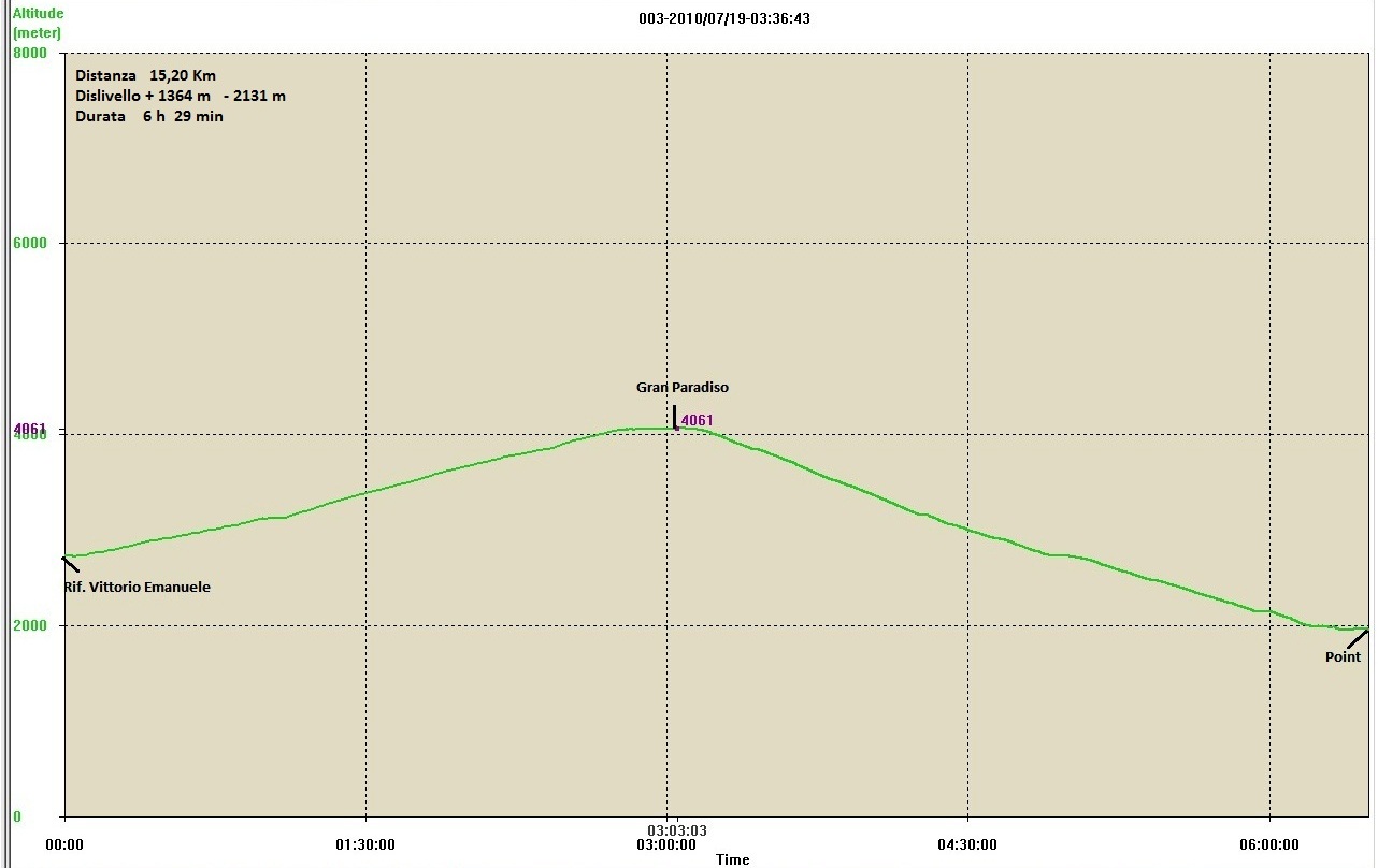
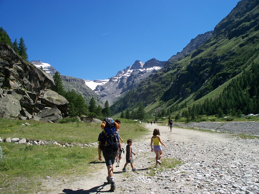
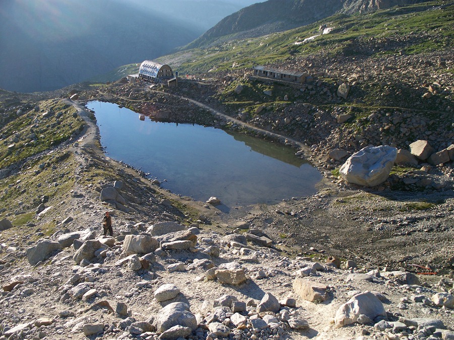
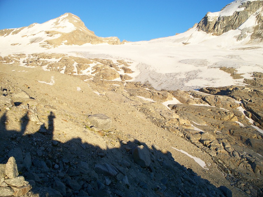
Walk from the hut as indicated by the starting sign along the moraine following the cairns until you find the footpath tracks at the aqueduct building. (Detour here if you have to take the variant).
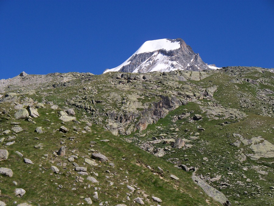
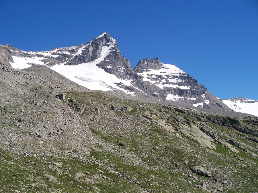
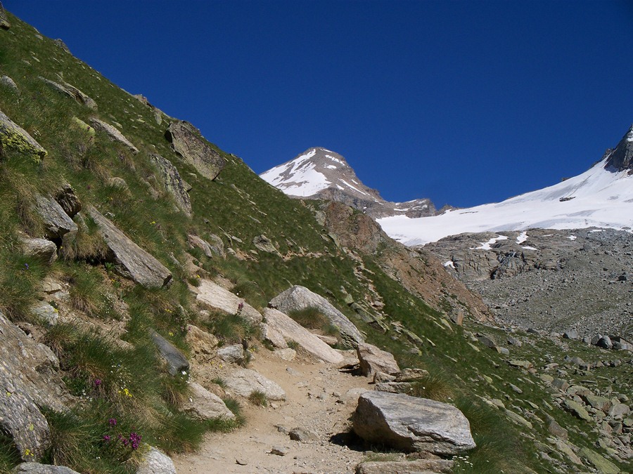
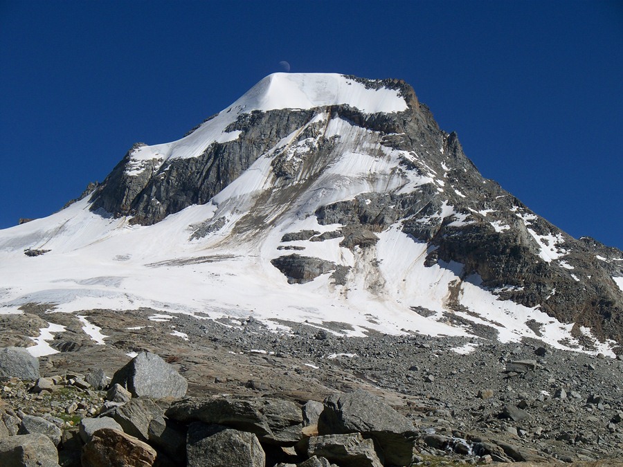
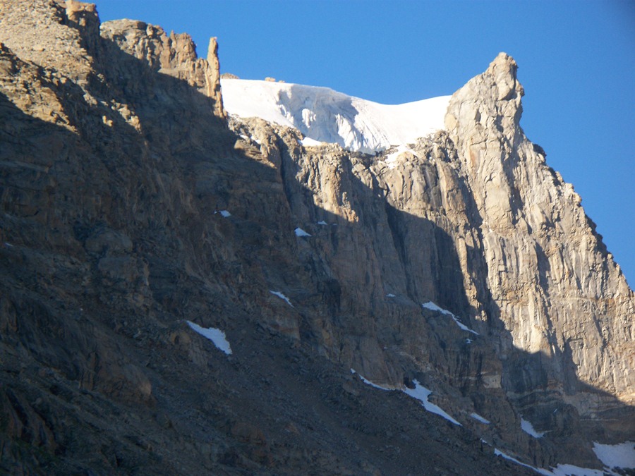
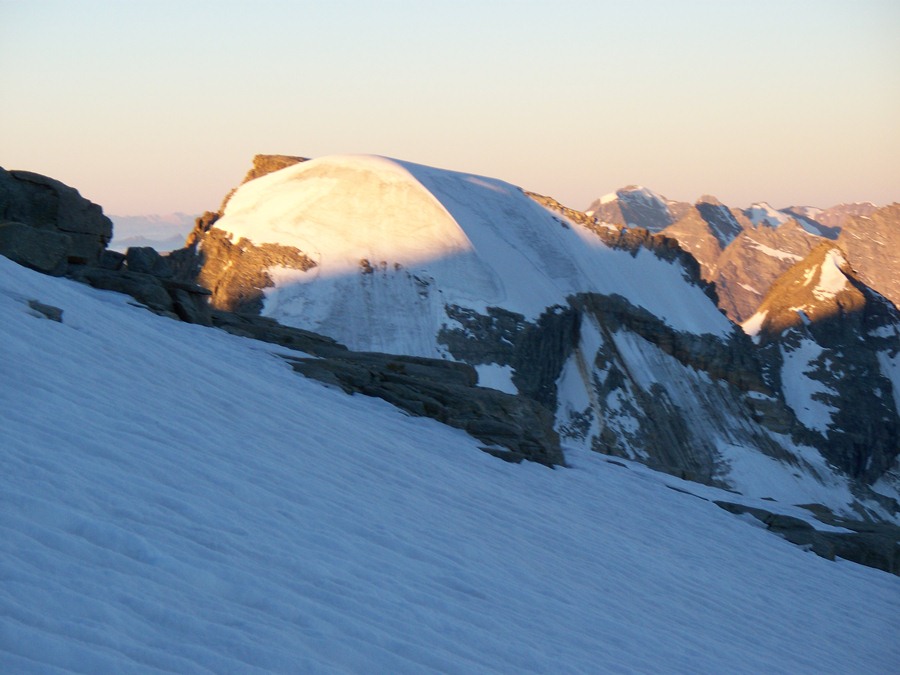
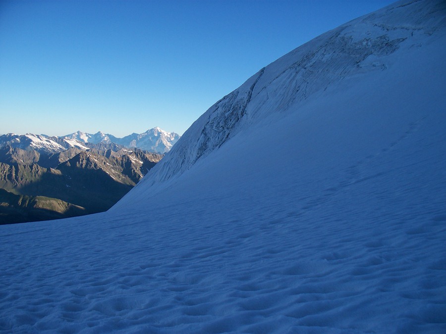
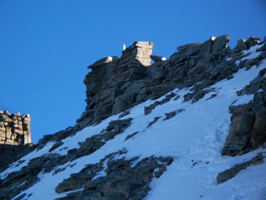
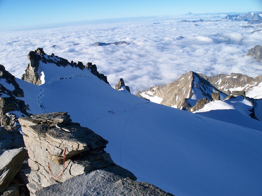
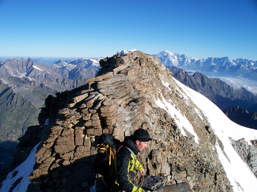
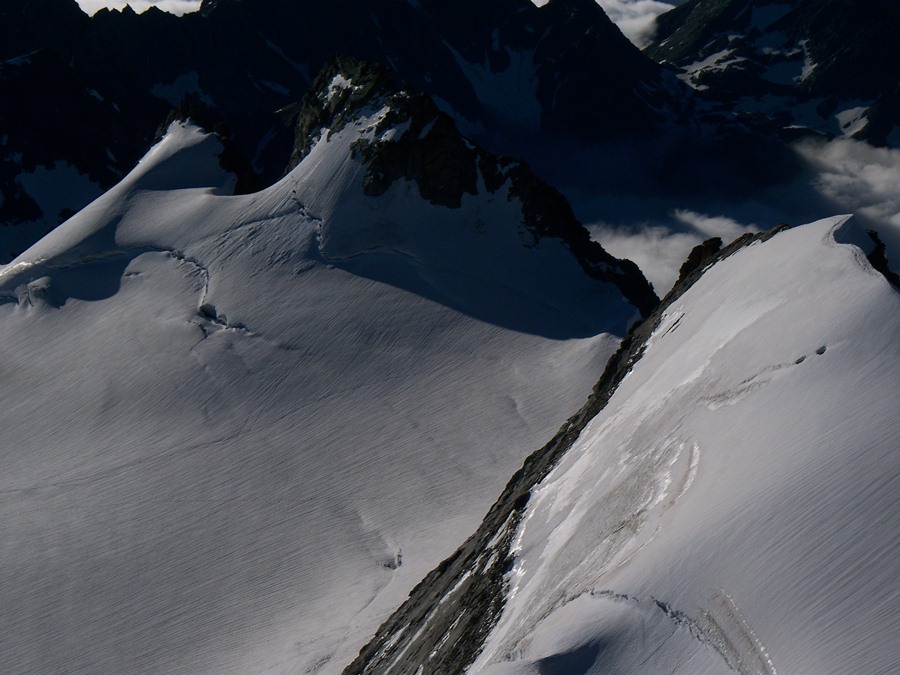
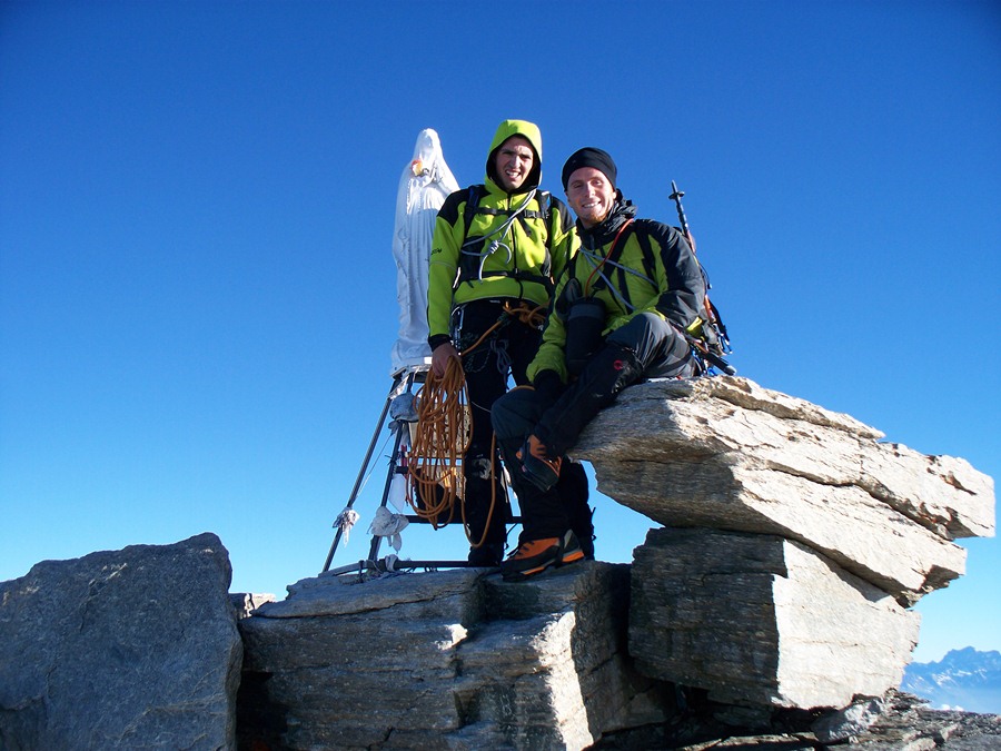
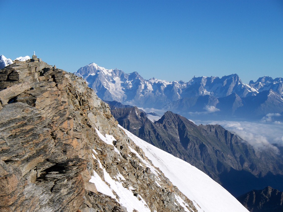
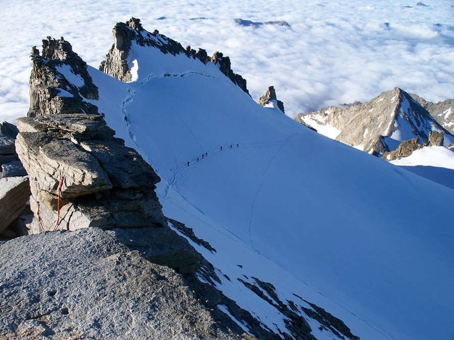
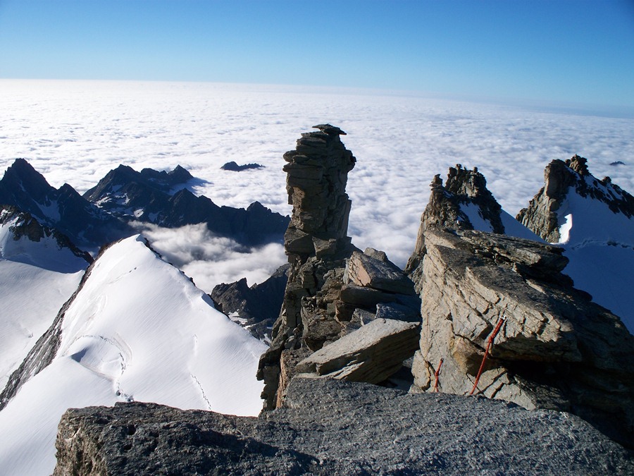
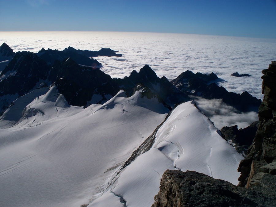
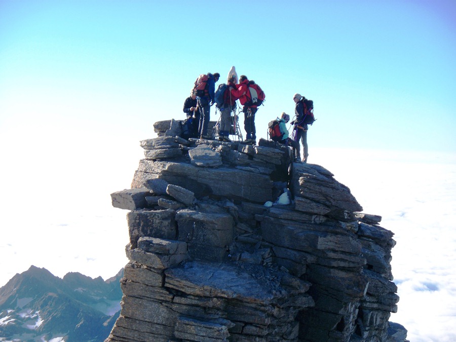
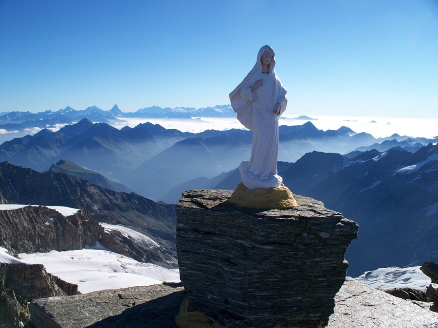
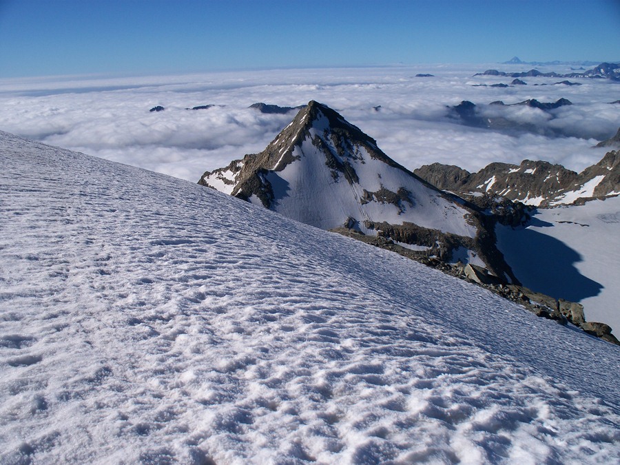
NORMAL: At the entrance to the small valley, continue to the right following the stream that descends from the glacier. At the foot of the glacier, tie up and tackle the first ramp by cutting it diagonally. At an altitude of around 3400 m, you come out onto an esplanade that allows a glimpse of Ciarforon and Monciair. Continue towards some exposed rocks on the left and climb up the second ramp with several hairpin bends to about 3750 m where you come out onto the wide crest known as the "donkey's back". From here, be very careful because of the presence, although often not obvious, of many crevasses, some of them quite large. Continue along the ridge until near the becca di Montcorvé where all the ascent routes meet, then with a long semi-circle towards the NE aim for the terminal below the summit. This section is initially a little steep and often with outcropping ice. Go over the terminal and reach the ridge. By rock or mixed climbing, continue towards the tower with the Madonnina. When you reach a sloping boulder, climb over it and, passing on the side of the Tribulation, go over a very exposed ledge and some rock steps (II, bolts) to be on the traditional summit in the presence of the statue of the Madonna. The true summit is about a hundred metres further north along the ridge. To reach it from the statue, one must either descend a notch with a double to set up (there is no longer a belay behind the Madonna) or climb (IV) and ascend the other side. To reach the summit from the sloping boulder, instead of climbing over it, descend a big ladder on the Valsavarenche side, pass under the tower with the statue along a fairly comfortable ledge and climb up the ridge beyond the first tower.
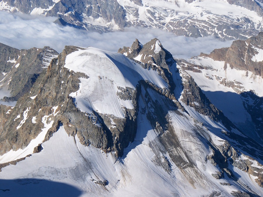
VARIANT: Continue northwards until you meet the edge of the moraine crossed by traces of a path and climb up towards the rampart descending from the Schiena d'Asino until you meet a band of rocks. Go over these more or less on the edge (I/I+) to the plateau above. Continue on the rocks as far as possible climbing up and aiming for the Levaciau glacier and at about 3400 m after having tied up descend on the same. Climb up the valley around and through numerous crevasses to the base of the Moncorvé where the routes meet.
On the ridge below the summit, be very careful as there are many people and little space... It's easy to fly down! If in doubt, contact an Alpine Guide in Pont.
We strongly recommend booking at the Vittorio Emanuele II Refuge (tel. 0165.95920)
Bibliography
- E.Andreis, R. Chabod, M.C.Santi, Gran Paradiso, Guida dei Monti d'Italia, CAI e TCI, Milano, 1980
- P. Giglio, M. Giglio, Valle d'Aosta oltre il sentiero, Torino, 1994
Cartografia
- [[Valsavarenche Gran Paradiso]], Carta dei sentieri foglio 9, 1:25000, L'Escursionista Editore, Rimini, 2006
- IGC 1:30000 - Sheet 115
[[Valsavarenche Gran Paradiso]], Trail map sheet 9, 1:25000, L'Escursionista Editore, Rimini, 2006
- IGC 1:30000 - Sheet 115
Galleria fotografica


We have been there

Edited by:
ser59
Rifugio Vittorio emanuele II Gran Paradiso


Edited by:
Giancarlo Beretta
Gran Paradiso
Dormito al rifugio dopo la salita alla Tresenta, partiti per primi e per primi in vetta (indispensabile se si vuole scendere in condizioni di neve sicura). Calzate le racchette nella conca morenica dopo il rifugio e tenute anche nei ripidi risalti del ghiacciaio. Poco sotto la "schiena d'asino" ha iniziato a soffiare un vento patagonico veramente gelido, vista la quota, che ci ha accompagnato sino alle rocce della vetta dove abbiamo perso una decina di minuti per calzare i ramponi perchè, impossibilitati a tirare via i guanti pesanti, non era agevole il passaggio delle cinghiette per la chiusura. In compenso arrivati alla Madonnina abbiamo trovato calma piatta senza un filo d'aria e ci siamo scaldati per qualche minuto! Ghiacciaio in buone condizioni con la terminale aperta di poco e comunque ben individuabile. Noi ci siamo legati poco sotto la Becca di Montcorvè. In discesa abbiamo tenuto i ramponi per scendere il primo tratto del ghiacciaio e poi con le racchette sulla neve che cominciava a mollare sempre più a mano a mano che si scendeva. Salita faticosa ma remunerativa sotto tutti gli aspetti.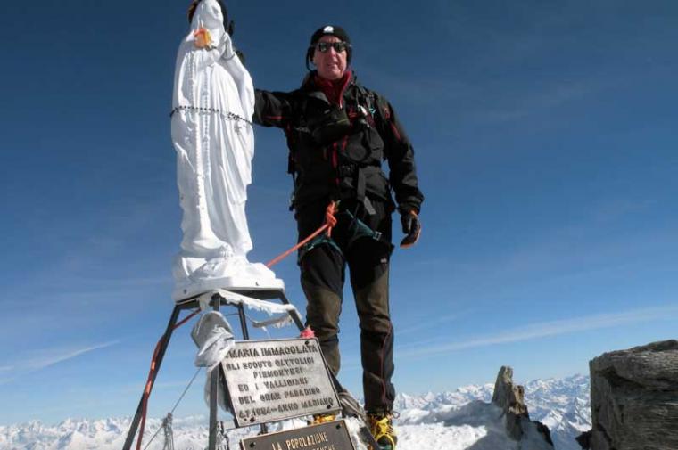

Edited by:
Silvia Quaglino