Breithorn traverse
Introduction
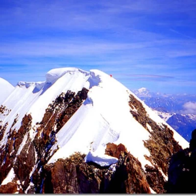
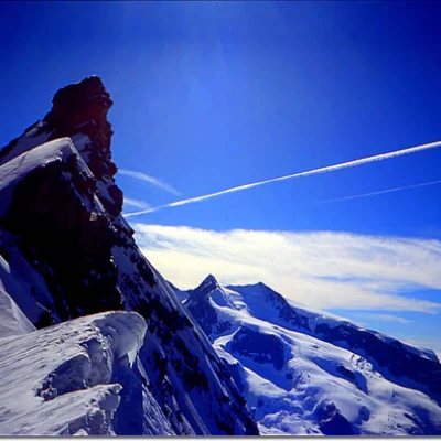
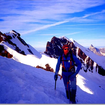
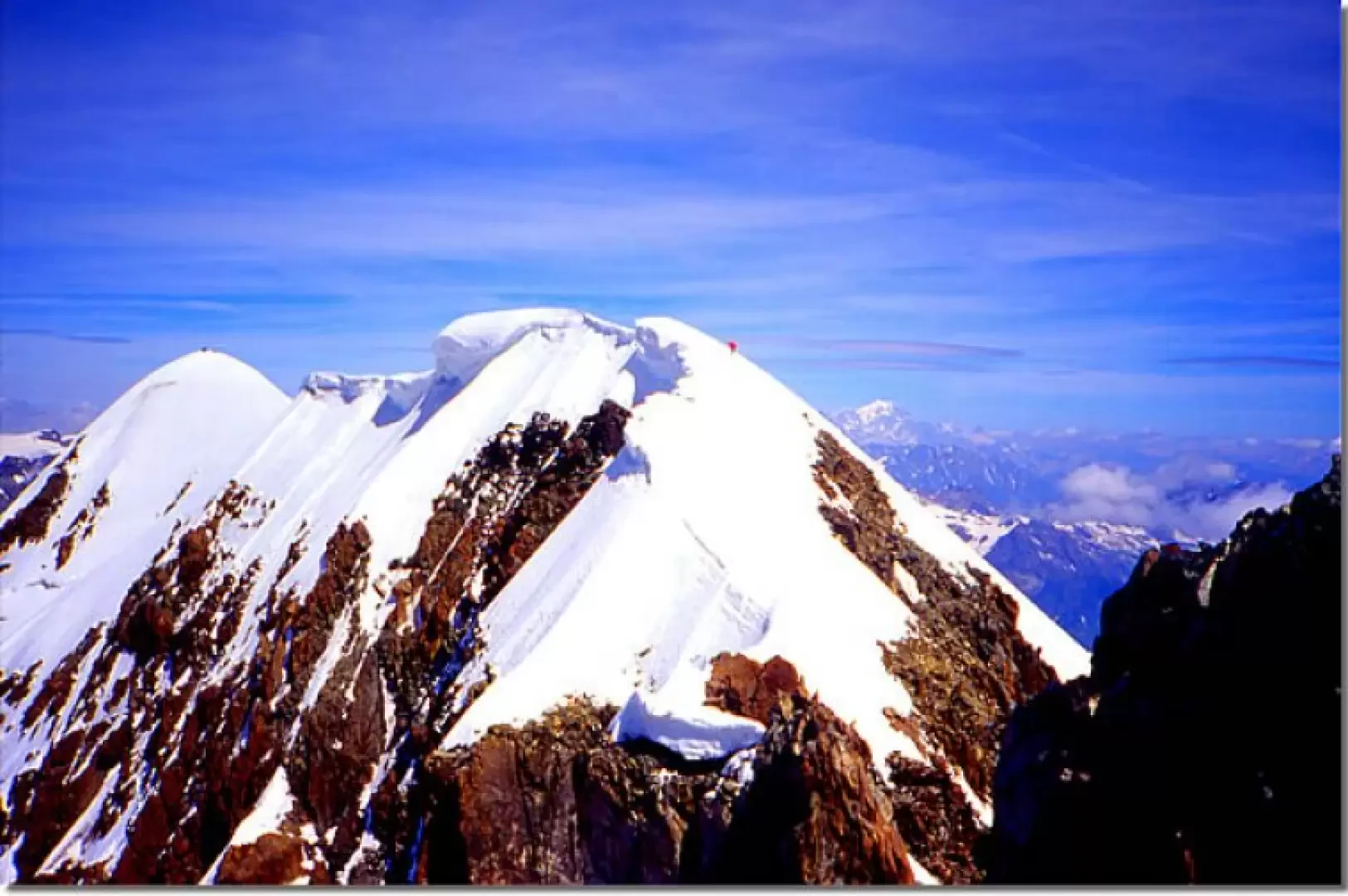
This is one of the longest traverses of the Alps, completely on the ridge and always above 4000 metres. Throughout the entire route, one has the impression of walking on a wire suspended over the splendid panorama of both the Italian and Swiss sides, surrounded by an impressive void and numerous 4,000 metres. The most comfortable route back to the starting point where you left your car is described here.
Description
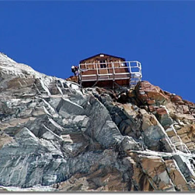
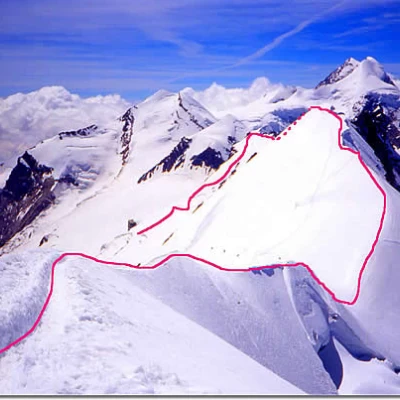
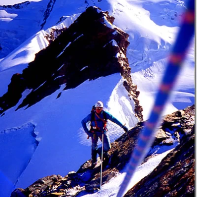
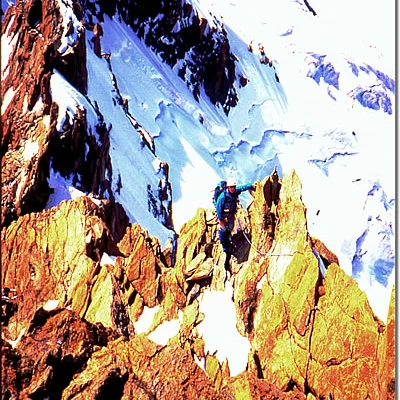
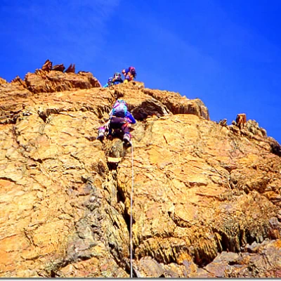
Day 1 In Cervinia, leave your car in the cable car park and head up to Plateau Rosa. From here, walk along the summer ski slopes until you reach, just before the Little Matterhorn, the evident tracks that deviate to the right towards the Breithorn pass and, having reached it, continue downhill to the right passing first under the Western Breithorn massif and then the Central and Eastern ones. Paying attention to a few crevasses, proceed eastwards, passing under the ridges and rocky outcrops that you will have to retrace the following day until you reach below the Rossi-Volante bivouac: from here, with a more marked descent, continue south-eastwards in the direction of the now clearly visible Rifugio delle Guide di Ayas (Ayas Guides' Hut) located on the rocks of Lambronecca below (as the itinerary is very popular, the traces on the glacier are evident even in the case of fog). If you wish, you can also spend the night at the Rossi-Volante bivouac. Day 2 The next day, we retrace part of the previous day's itinerary as far as below the Rossi-Volante bivouac, climb up the steep slope, generally leaving the bivouac to the left, until we reach the shoulder immediately below the summit of the Roccia Nera and follow the airy ridge right on the edge, following the ups and downs of its undulations, touching on two anonymous peaks, respectively 4141 and 4106 metres high. After an initial section on ice (watch out for the cornices), you move on to a mixed section where you pass a few rocky outcrops, staying mainly on the south (Italian) side, arriving at a more marked col that precedes the rock jump that leads directly to the summit of the Breithorn Orientale: this is the most demanding section (IV°). Once you reach the summit, continue along the ridge line (again, pay attention to the ledges on the Italian side) to reach the summit of the central and finally the western summit. Descent From the summit of the Western Breithorn, follow the track of the normal route that heads north-west and descends to the Breithorn Col below, and from here retrace the reverse route of the previous day to the arrival of the Plateau Rosa cable car. In case of unforeseen physical or meteorological difficulties, you can comfortably descend from each col to the track taken on the outward journey the day before and practically follow the route back to the Breithorn Pass.
