Allalinhorn

Edited by:
Giancarlo Beretta
Updated at: 16/11/2025
Introduction
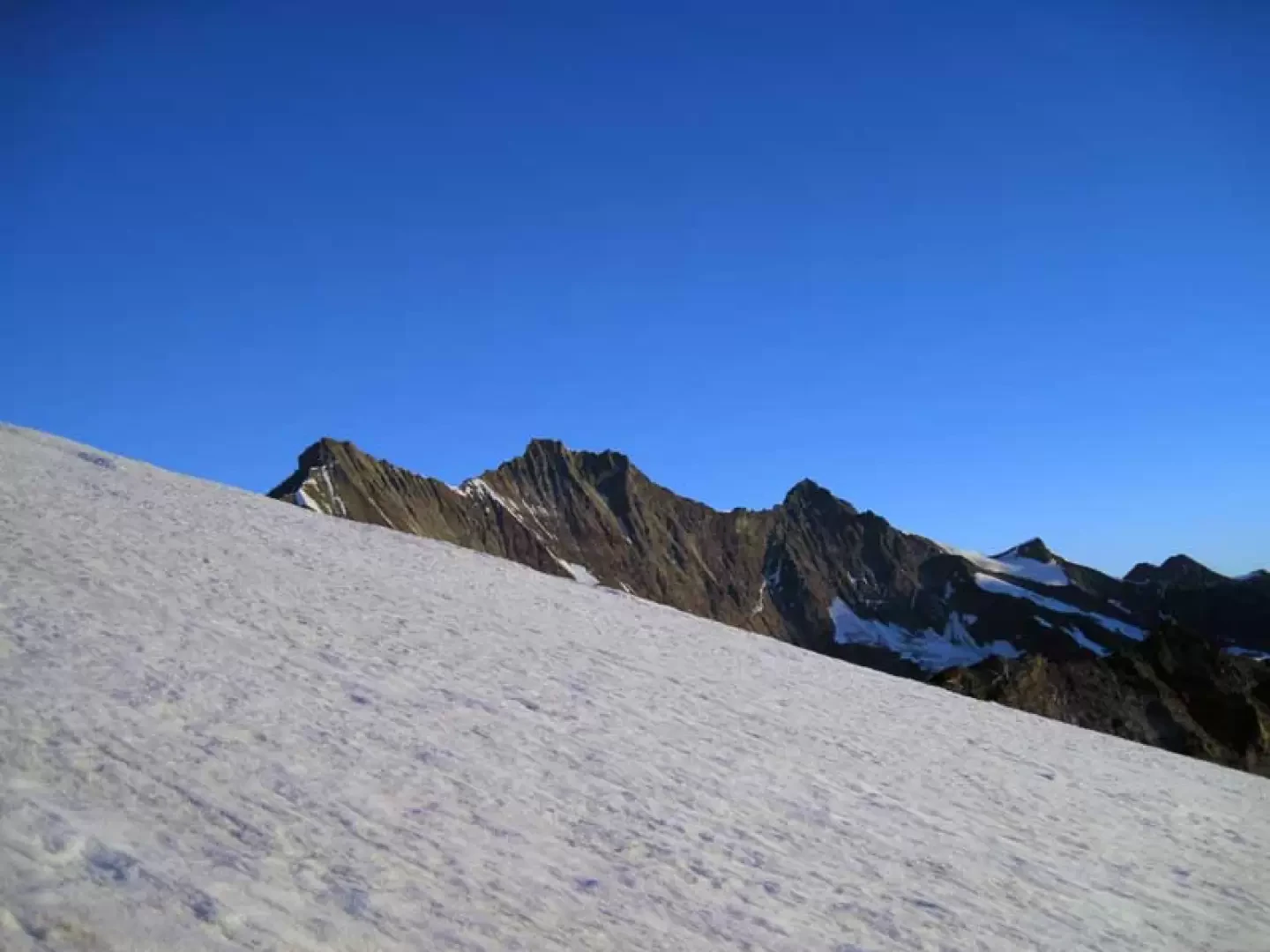
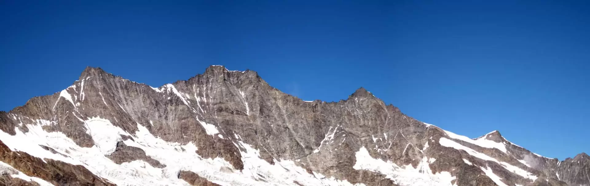
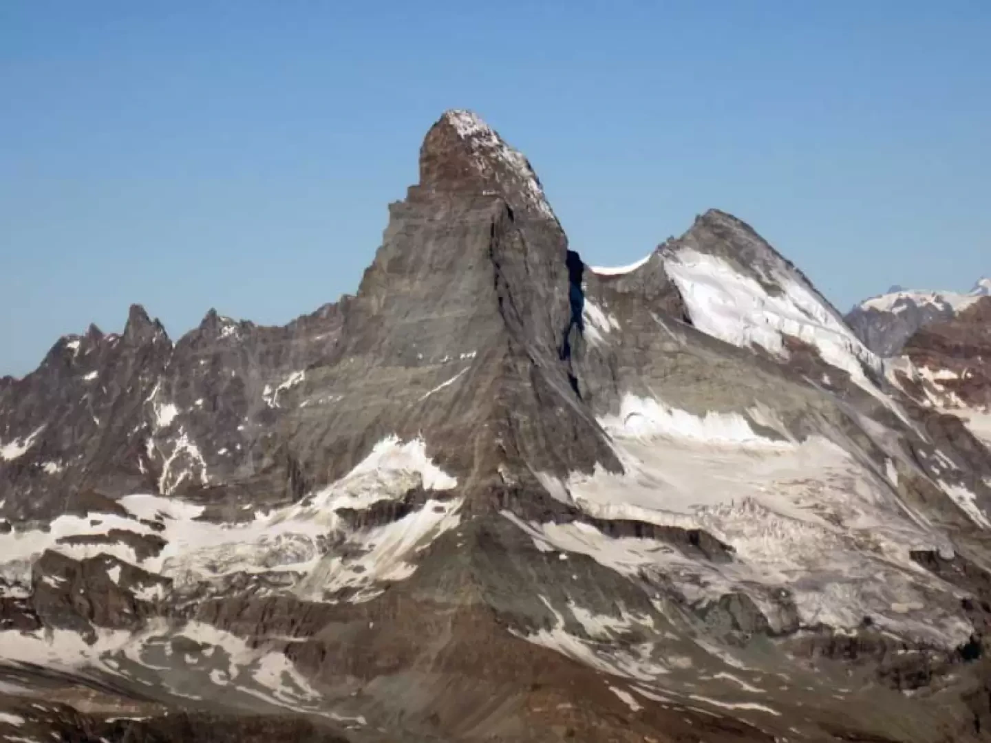
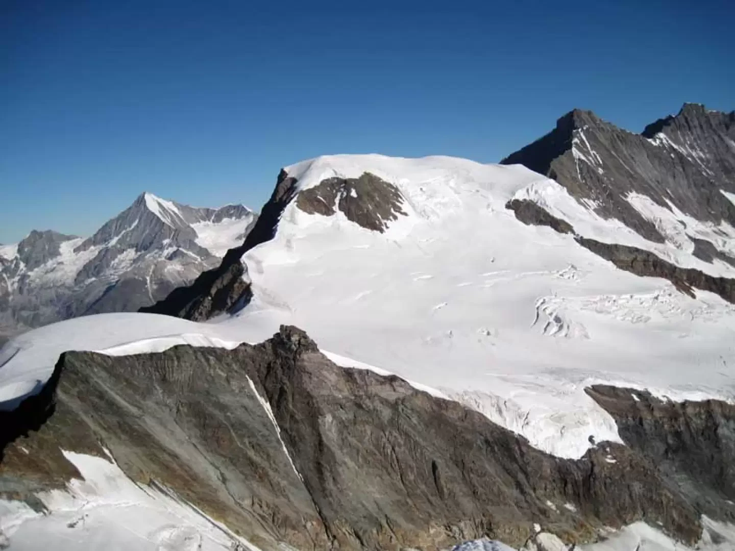
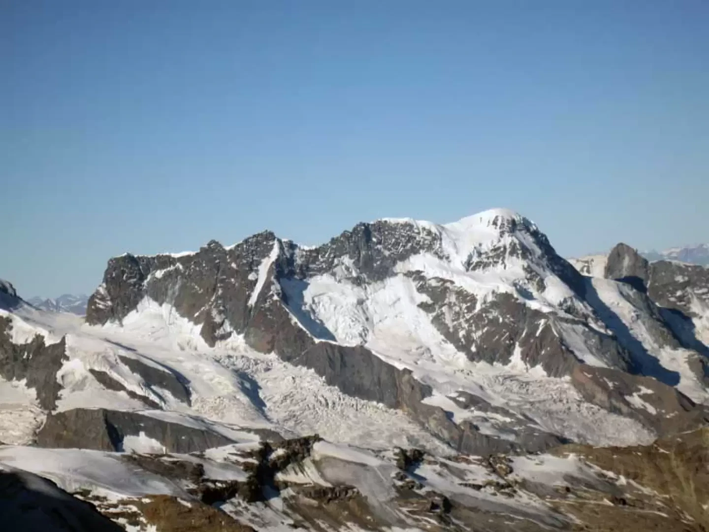
The ascent of this ridge, which is quite popular, is very scenic and provides wonderful and, as you ascend, increasingly varied views. From the summit, then, the view is exceptional over the numerous 4000 m peaks in the Saas Valley and Zermatt, and others further afield from Mont Blanc to the Oberland. The ascent route is always clear and logical and as the season progresses, given the exposure, you can find numerous sections of live ice and the greatest difficulties are found in the upper part where the slopes become more exposed and the ridge becomes a little sharp; in the rocky section there is a brief initial section of III° and then debris and broken rocks where you must be sure of their stability but where the metal bolt and the belays are reliable.
Description
First day
From the arrival of the cable car, take the track that starts right in front and heads towards the slope of ice and boulders; the well-trodden track passes over stony terrain alternating with sections of ice and borders the northern flank of the Hint Allalin. The progression, in the virtual absence of uphill sections, is not tiring, but one must nevertheless pay attention to the various cuts in the ice and the many moving stones. You will soon arrive at a clearly visible col, where there is the arrival point of a ski lift, and at which you continue to the right, aiming for the clearly visible construction of the hut; after another short section on mixed terrain, you will arrive at the col where it is located.
Second day
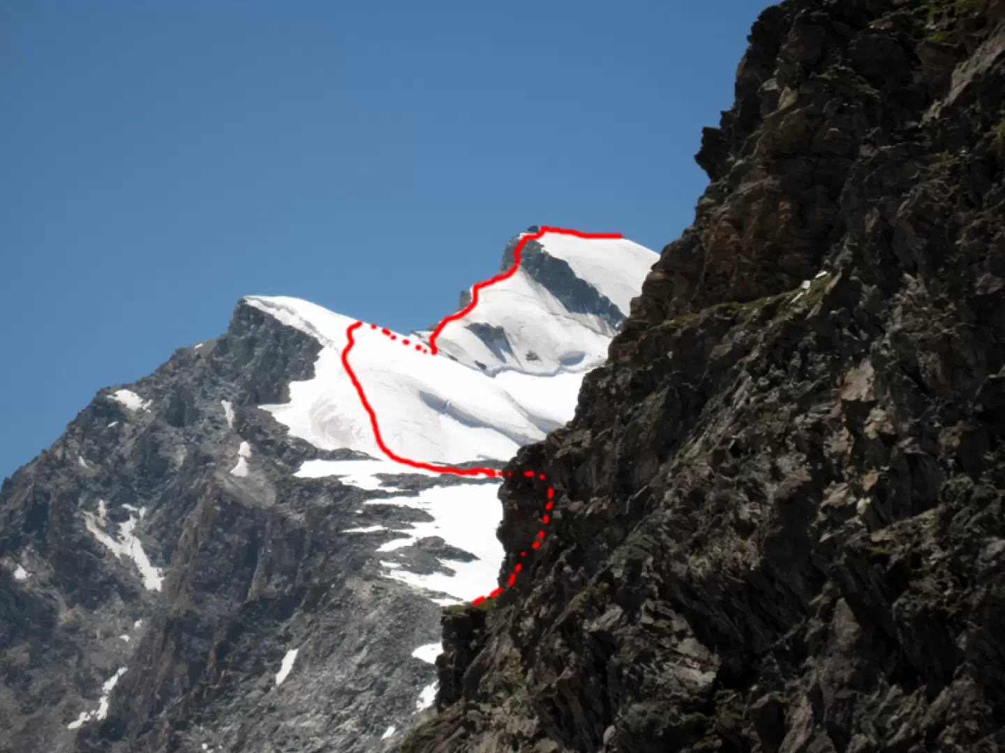
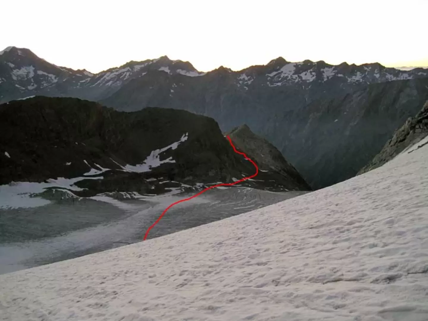
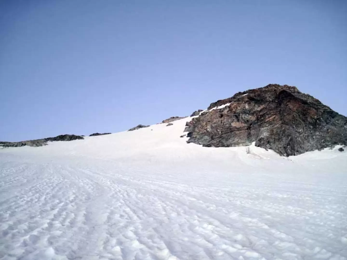
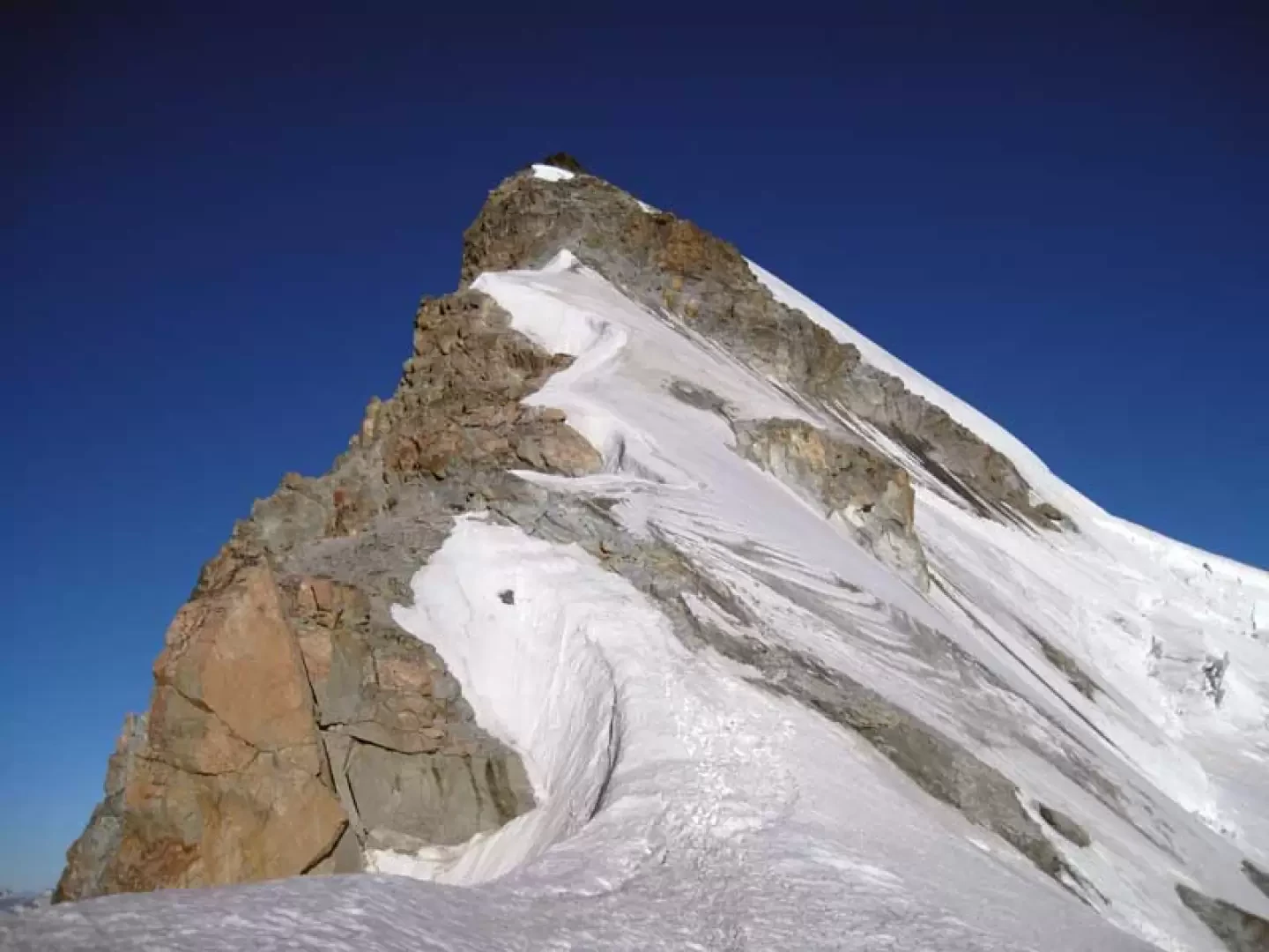
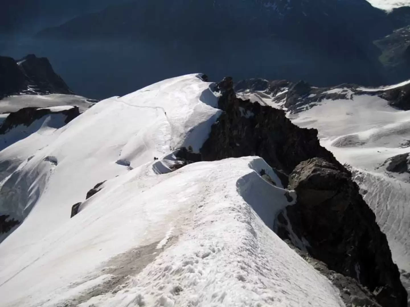
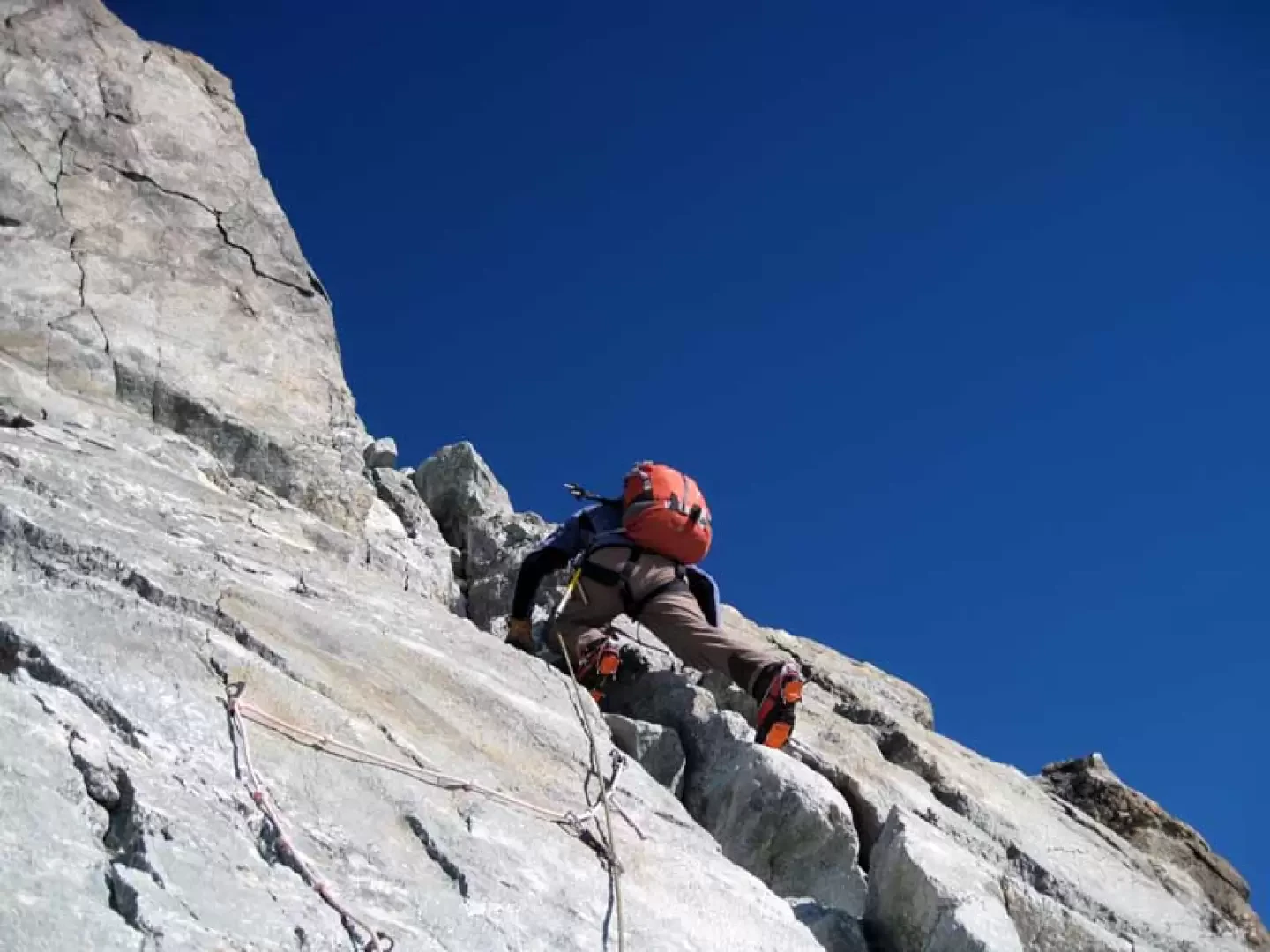
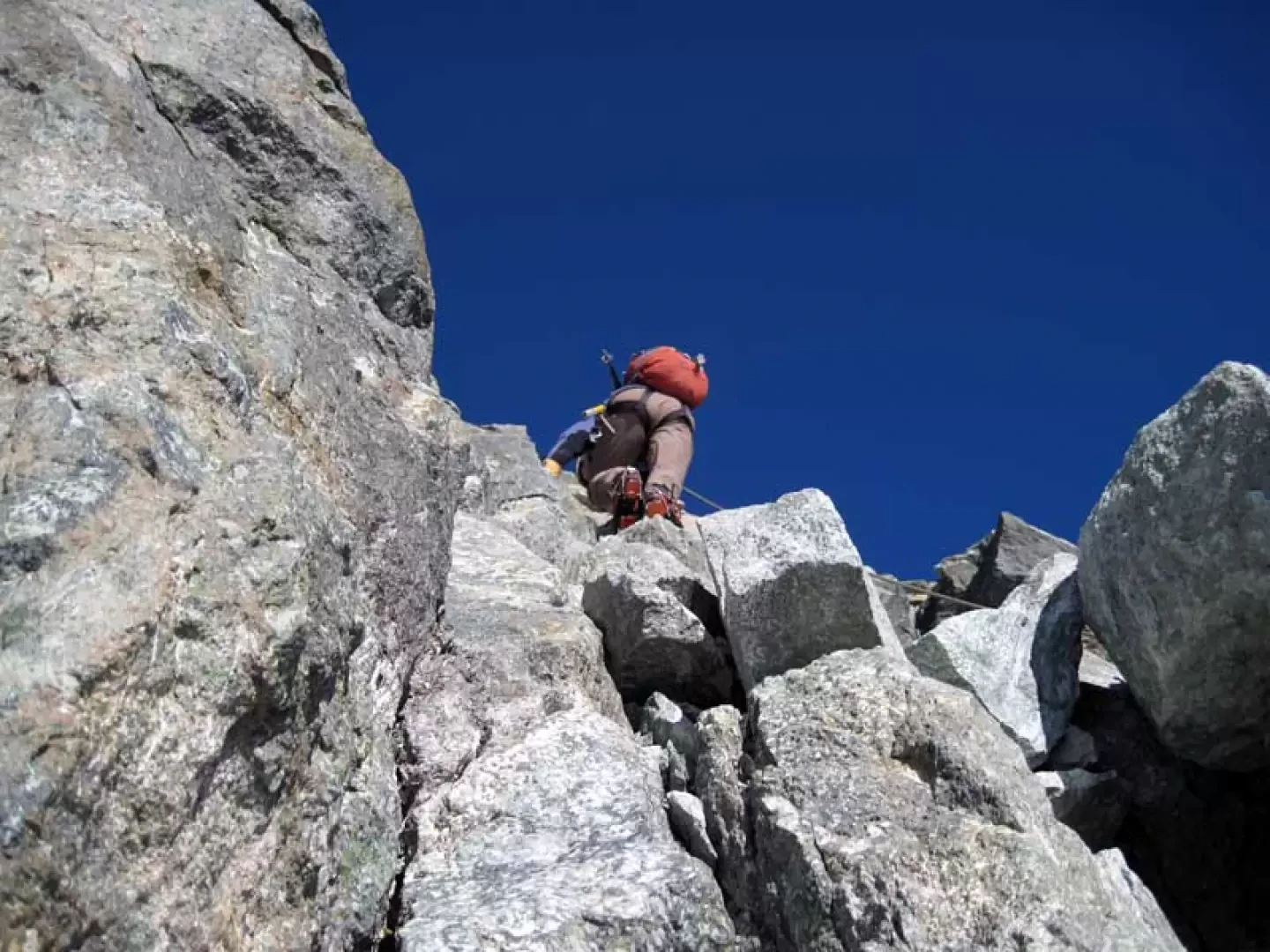
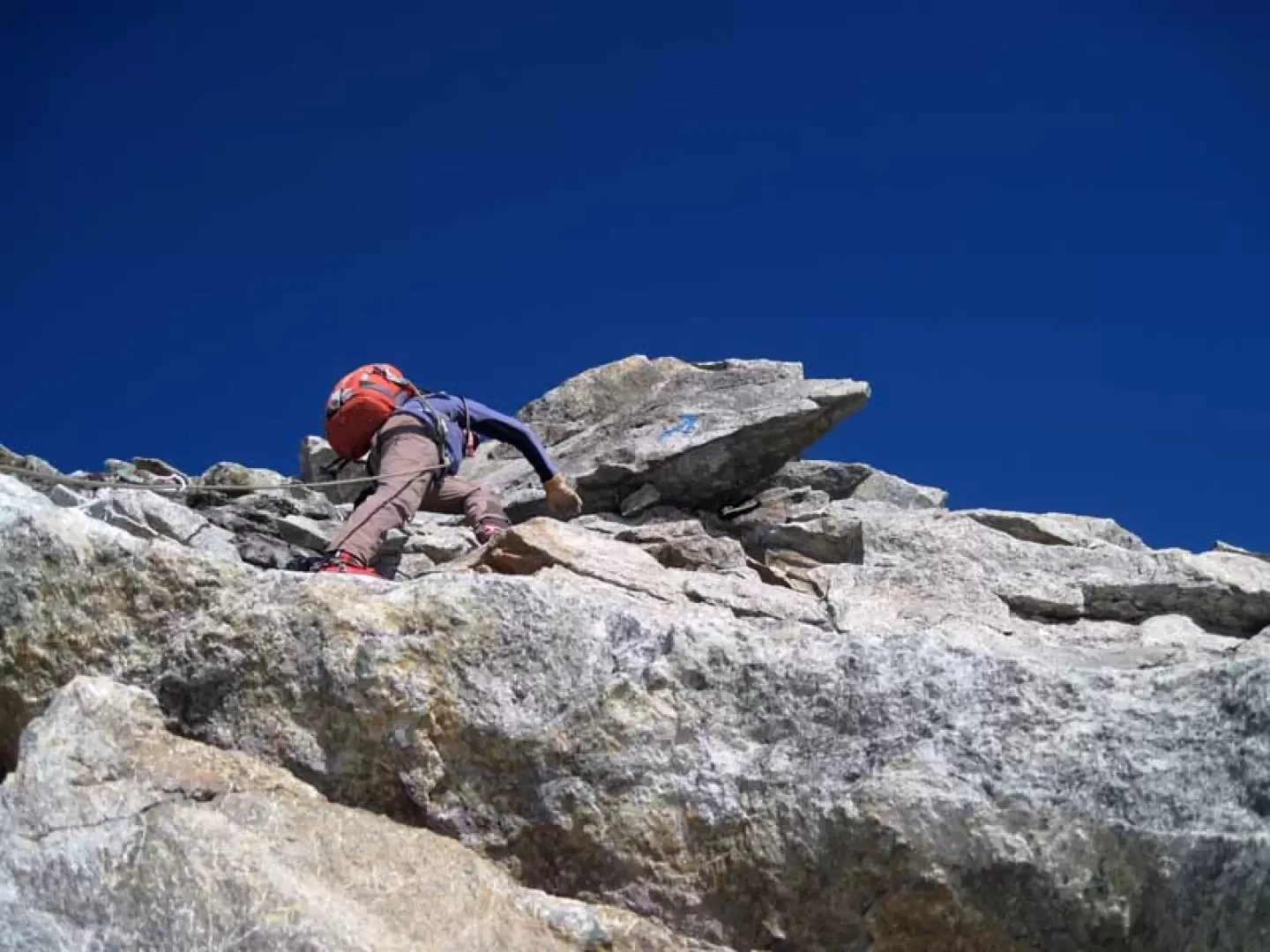
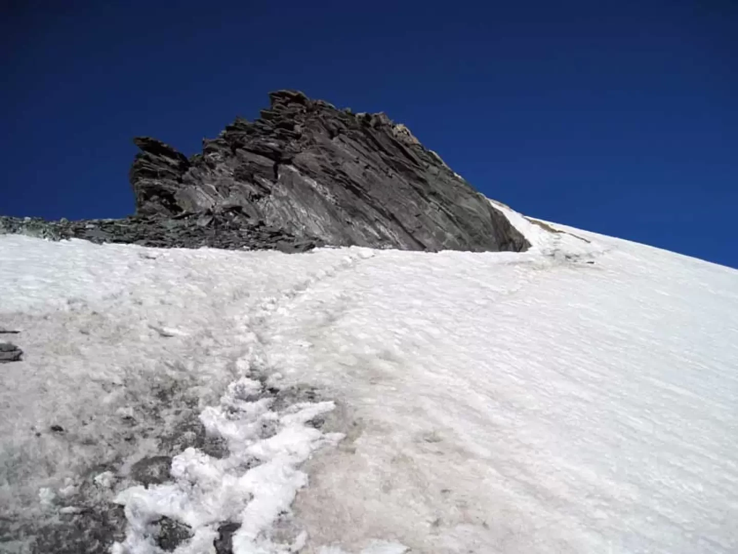
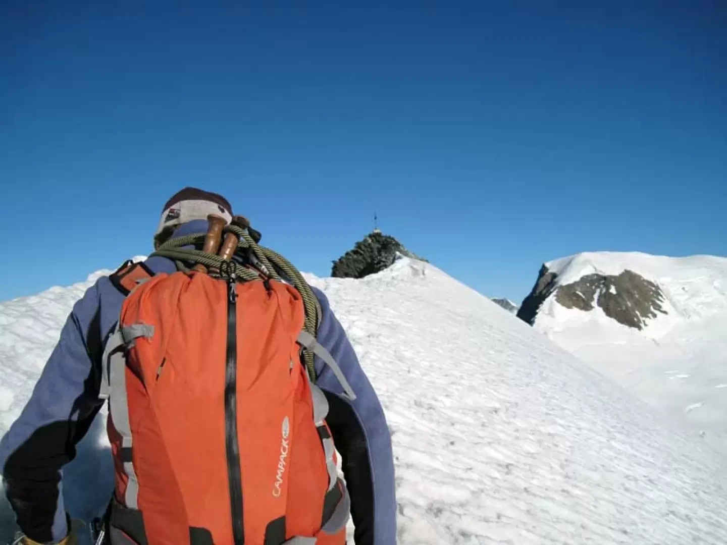
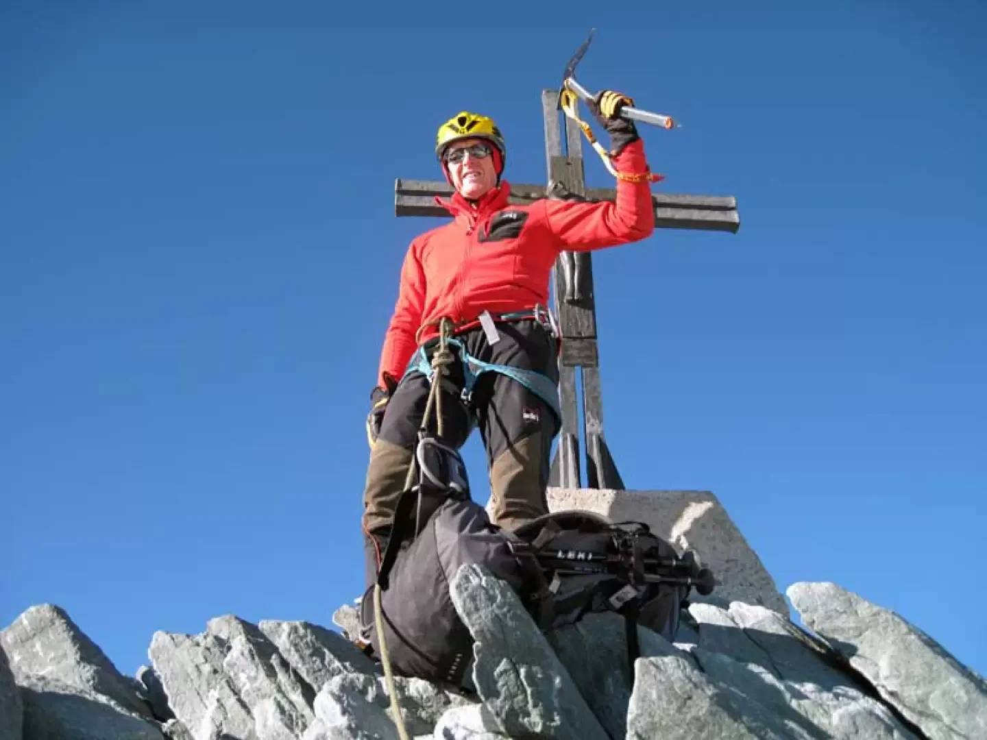
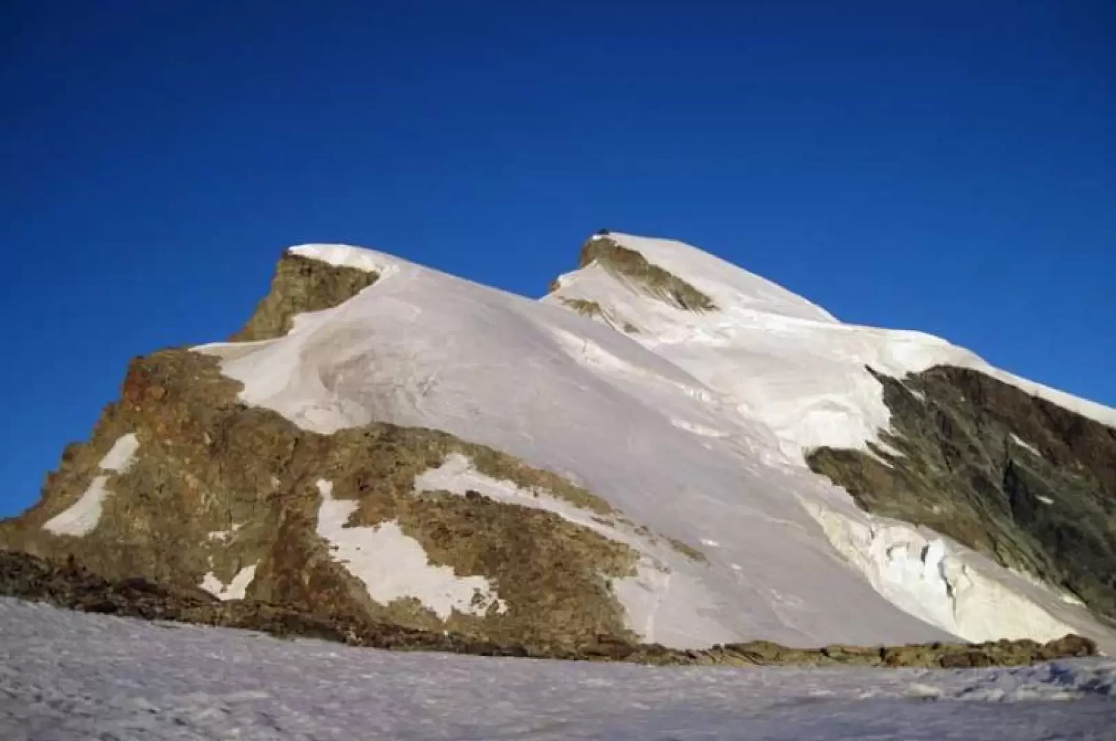
From the hut, take the track that starts to the left of the posts in front of it and begins at a rock with a blue-white marker. The path descends at first with a slight slope and then heads decisively downwards towards the bottom of the morainic valley, losing almost a hundred metres of height difference to reach the final tongue of the Hohlaubgletscher; having reached the lowest part, go up the path moving to the left, gaining little height and crossing many crevasses perpendicular to the direction of travel, which are more or less open but easy to overcome. One then heads towards a steep slope that lies between a high rocky islet on the left and some rocky outcrops on the right, climbing up the centre of it (35°) with a few hairpin bends and reaching a small plateau. From here, we reach the ridge line, heading towards the small upper plateau where the ascent ridge begins (about 3470 m) to the left of an evident rocky islet; we walk along the wide ridge, staying on its right and crossing stretches of ice alternating with elementary rocky outcrops until we reach a band of these, after which we descend for a few dozen metres to reach the most demanding part of the ascent. In front of us, we can now clearly see the development of the upper part of this, which begins by crossing a small area of small rocks and then ascending the steep slope (40°) of ice, taking care to overcome a few hidden crevasses; decreasing the slope, we continue a little to the left and cross the not very exposed slope that descends from a slender promontory. One arrives at a small collar and ascends in front of us very exposed slopes with a first section that can be made of live ice, also being careful of some small terminal crevasses that are just below the edge; following the undulations of the crest, a little sharp and steep in the short final section, one reaches the base of the rocky jump, stopping under a rope that is a little higher up fixed to some pitons. At the beginning of the rocks is the most technical part of the ascent: a few metres of grade III which is climbed to the right on rocks whose tightness should be checked before forcing up them; climbing up the short chimney one arrives on broken rocks at a belay point where there is a metal bolt above which one can see a large protruding rock where there is a blue arrow indicating to move to the right. Climbing briefly up some broken rocks you arrive again at a section of ice where you continue around a small rocky islet on the right and arrive within sight of the summit which is reached by walking along a short section of horizontal ridge and on which there is a metal cross.
The descent is along the normal route.
Galleria fotografica