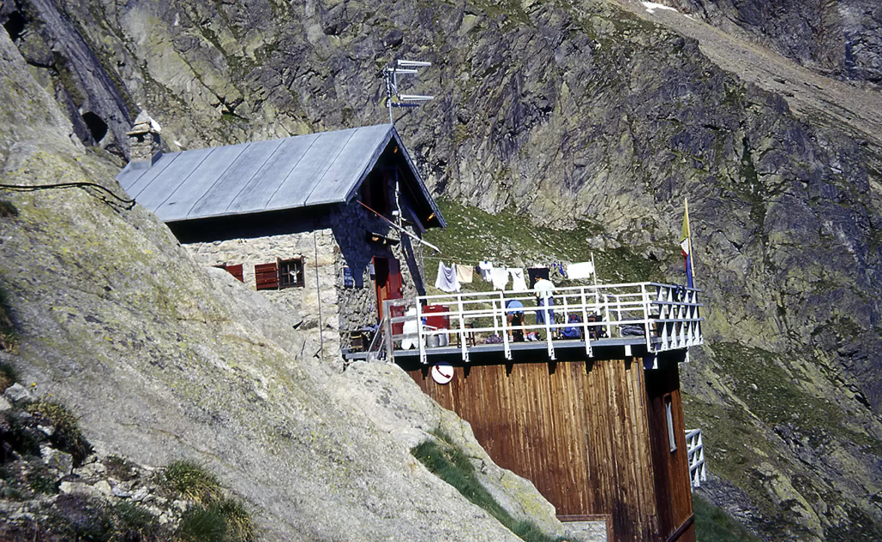
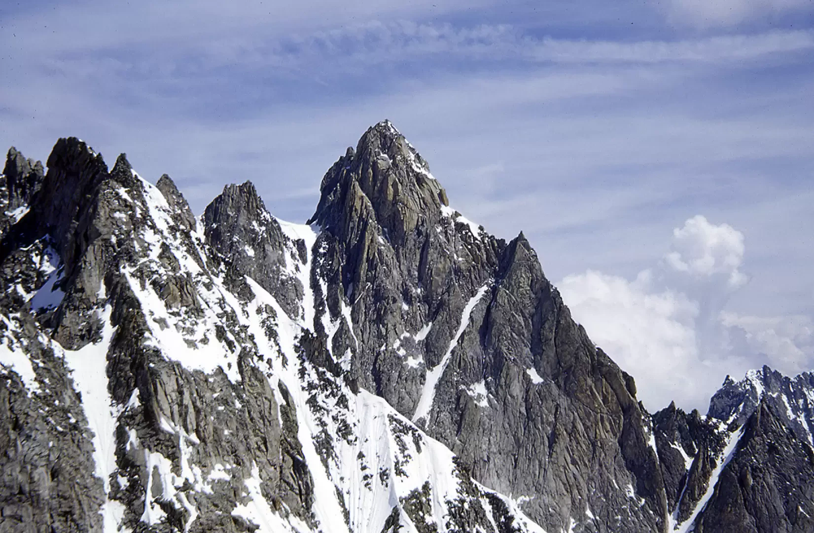
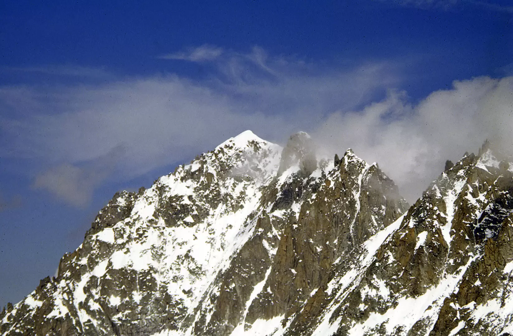
Aiguille Savoie, from the Dalmazzi Refuge

Edited by:
Giancarlo Beretta
Updated at: 17/02/2025
Introduction
Beautiful mountain, albeit of modest proportions, whose long south-east ridge, steep below the summit, juts out towards the Triolet Glacier. It is an ascent that has the alpinist flavour of times gone by, both because of the different high-mountain views and because of the crowding, which is certainly not that of the more famous routes of Mont Blanc or Rose, even if, after the opening of numerous climbing routes in the Triolet basin, in recent years the hut, which has just been renovated, is fairly busy with climbers.
Description
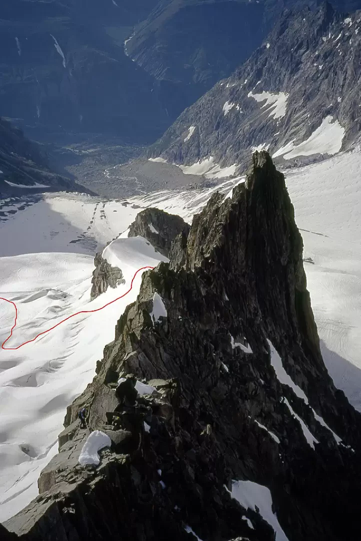
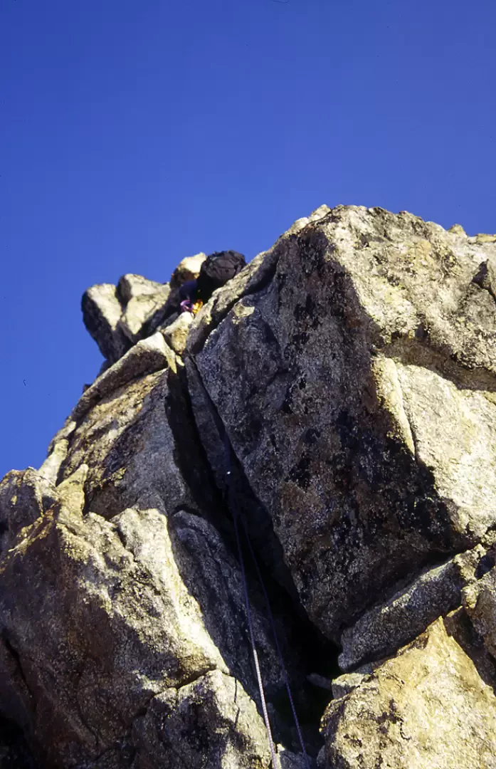
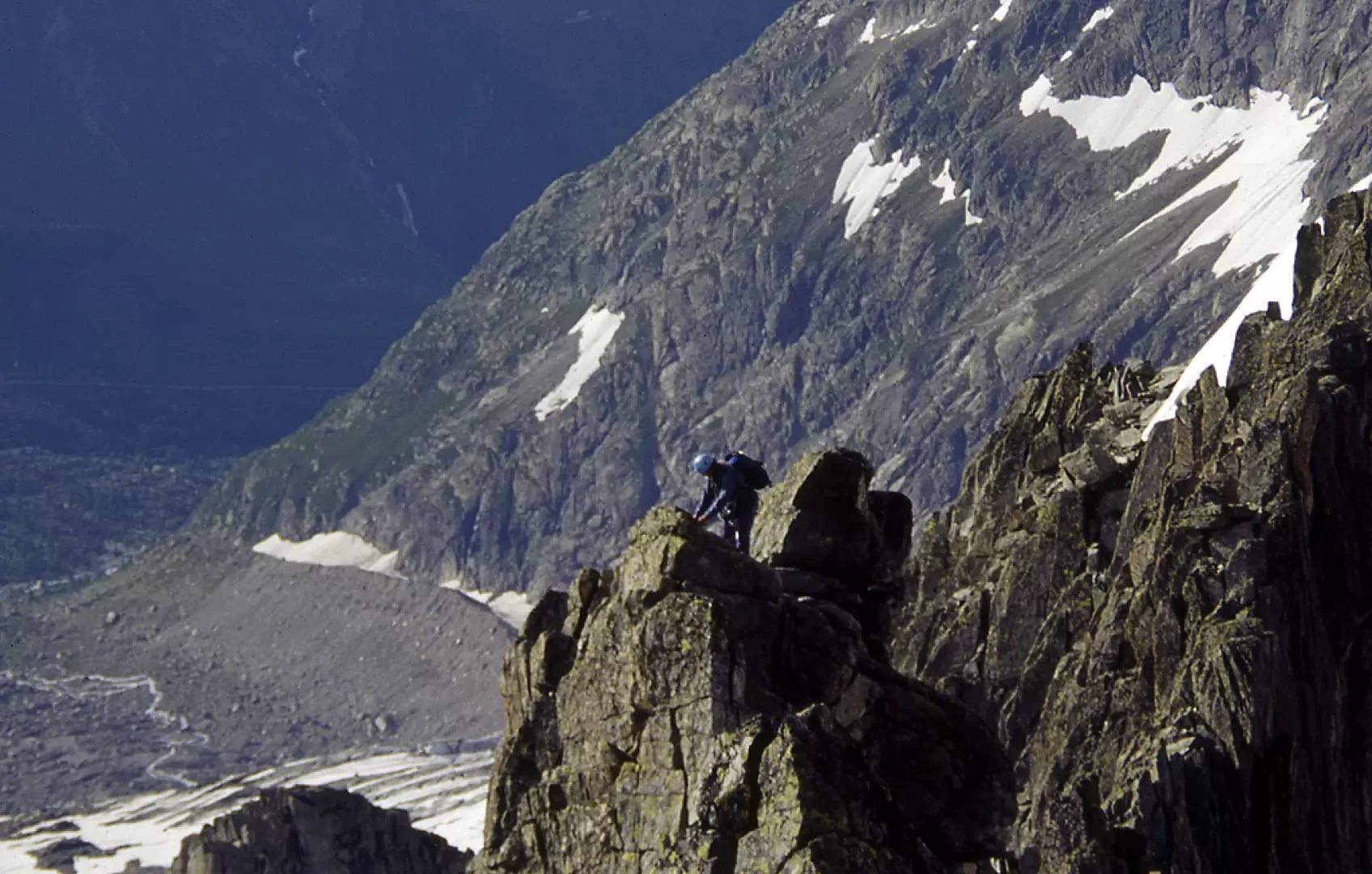
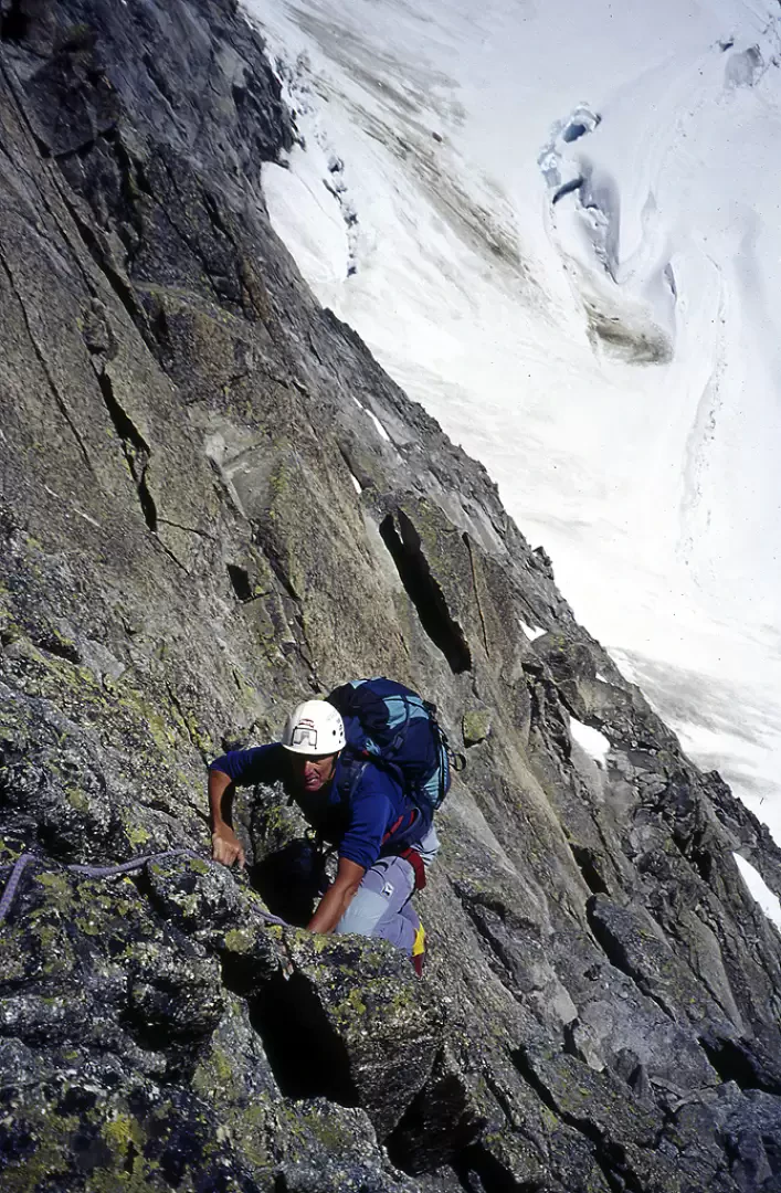
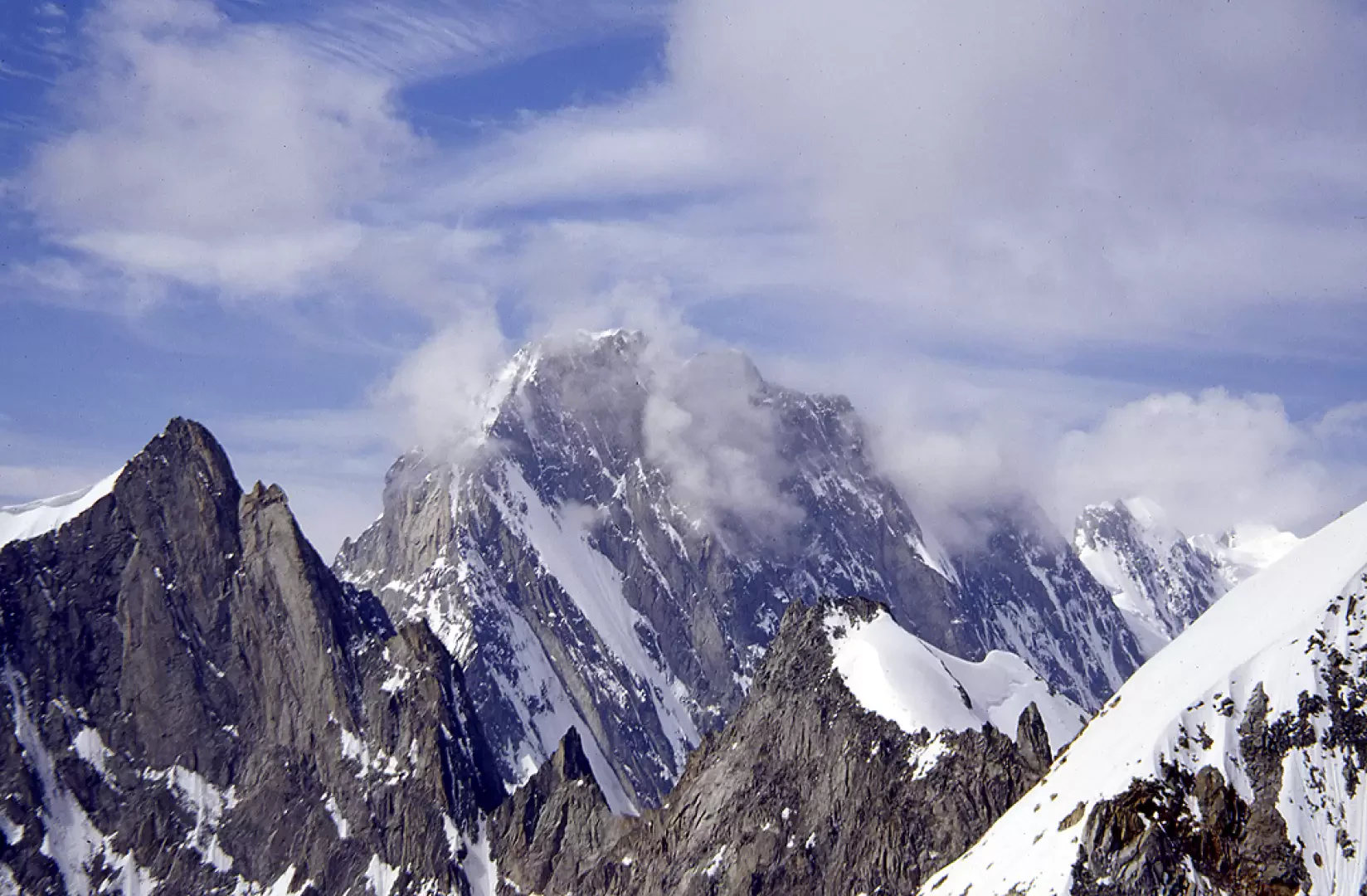
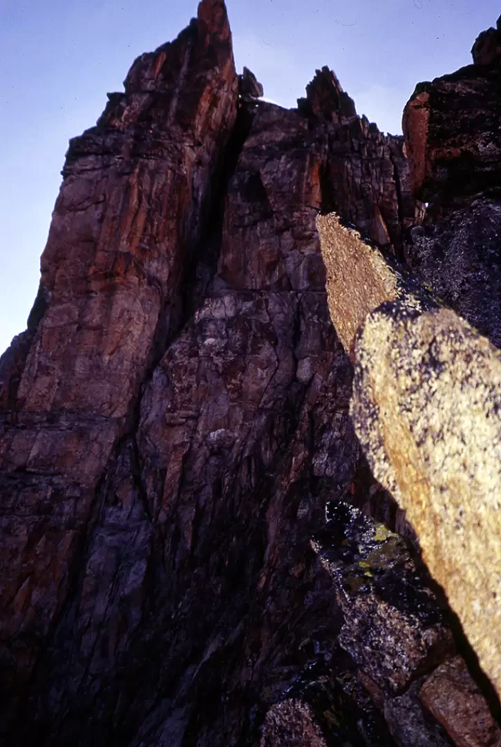
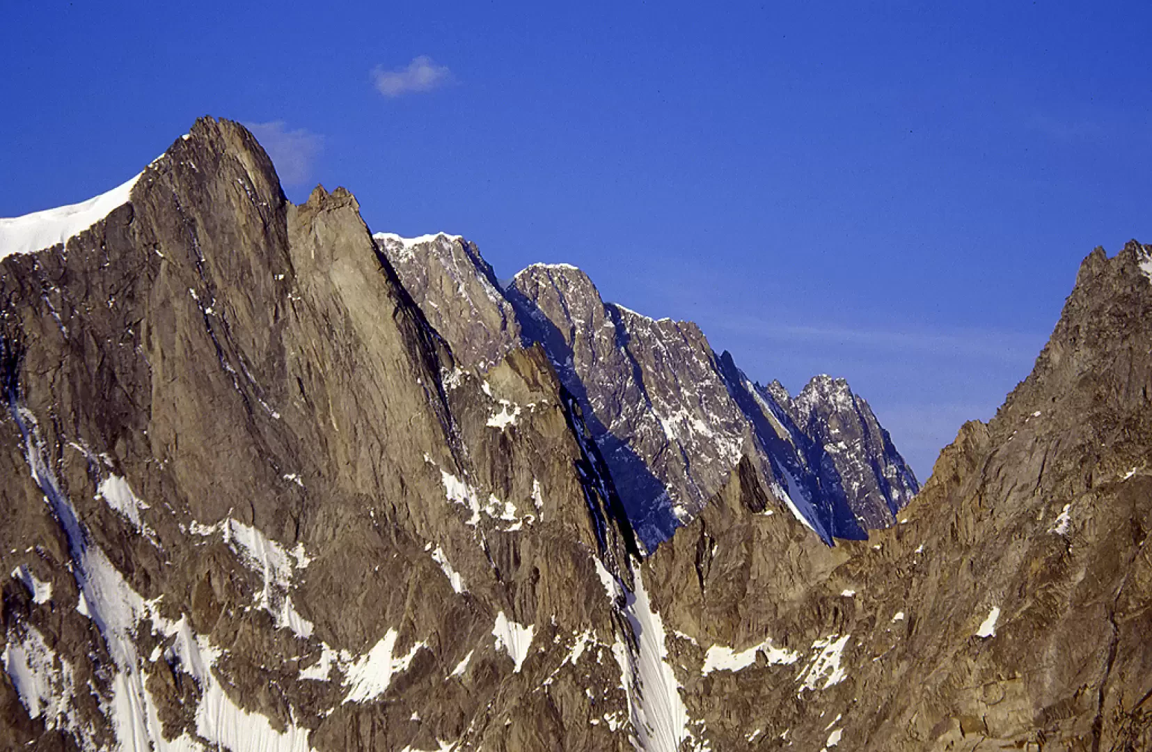
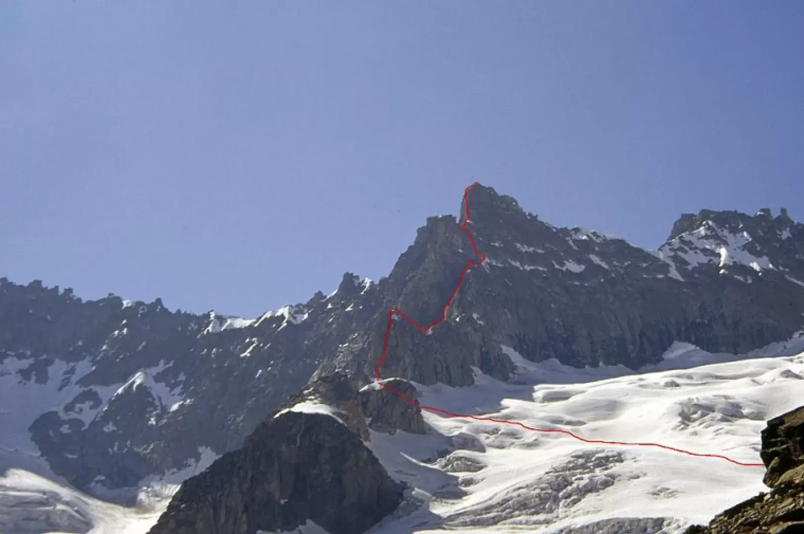
From the hut, take the level path that cuts across the grassy-stony slope and climbs until you reach the left side moraine of the Triolet Glacier, climb it until you find a convenient spot to descend it and stand on the glacier tongue just above the crevasse area. Reach a slight depression that the glacier forms below the south-east buttress of the Aiguille Savoie, cross it to the base of the rocks of the aforementioned buttress and go right onto the branch of the glacier that leads to the Col du Piolet. From the snowy back, take the edge of the ridge, moving on its left side (III) in the direction of a yellow pillar and, without reaching it, continue on the edge of the ridge along a short, narrow chimney (IV). At its exit, climb up for a few metres and then continue for a long easy section and, after passing a few notches and rises on the left side, you reach a very slender gendarme, at the base of which the ridge is formed by a succession of sloping slabs, and after having climbed them, go around the latter to the left to reach a gap with snow to the left of the wide east face (it is worth taking a look westwards at the north face of the Jorasses with the "linceul" (hanging glacier). From here, go back along some dihedrals and walls on the edge of the ridge that rises to the left and reach a rocky ledge at the base of the last prominence. This is yellow and smooth and offers a magnificent and exposed climb: you attack just to the left of the edge and climb up on minute handholds until you reach a piton to equip the belay. Continue directly on slabs of excellent rock up to a terrace (IV+) and, with another pitch of easier climbing, you reach the summit. From here you can admire, to the east, the nearby imposing silhouette of the Aiguille de Triolet and, to the west, the Aiguille de Leschaux and the Aiguille de Talèfre.
Descent
The descent is all abseiled along the south face (on busy days you may meet climbers ascending from the same route and so may have to wait until they have finished the rope pitch to reach the belay).
From the summit, walk a few metres towards the south face and, having seen the first anchor, abseil down the face (note that to find the fourth anchor you have to move a little to the left). Without any problems you reach the upper part of the Triolet Glacier and from here you can easily return to the hut.
Bibliography
- Vallot Mont Blanc Guidebook vol. 2
Cartography
- [[Mont Blanc Courmayeur]], Map of paths sheet 1 1:25000, L'Escursionista Editore, Rimini, 2008
Galleria fotografica