Zucco della Rocca, from Maggiana


Edited by:
Marco Bonati
Updated at: 21/03/2026
Access
From Milan to Lecco along the state road ; exit at the beginning of the provincial road in the direction of Abbadia Lariana. Continue to Mandello del Lario and, at the first roundabout, enter the town centre. Shortly after the "Moto Guzzi" factory, signs for the upper hamlets begin: follow the signs for Maggiana and park at the corner of Via dei Salici in a car park by a garden with a stepped fountain.
- How to get there with GMAPS
- How to get there with Apple Maps
Introduction
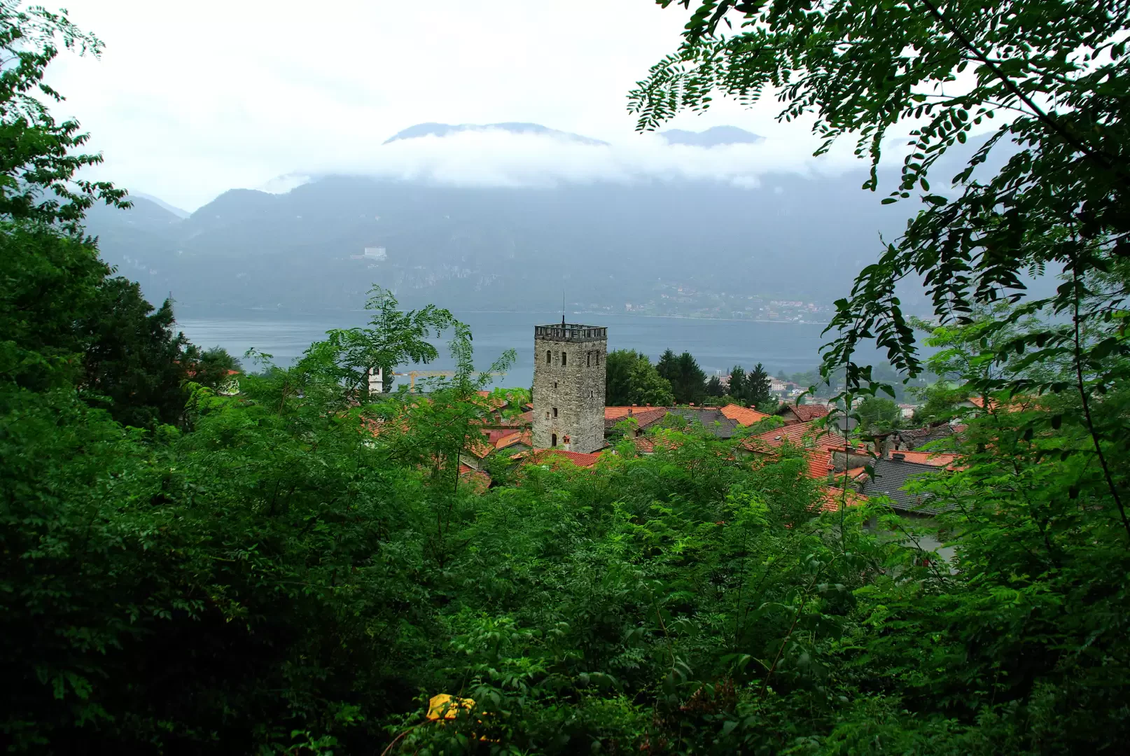
A very short hike along the historical route up to Piani Resinelli from the lakeshore leads to an unexpected archaeological find. This would be an ancient cistern dating back to the late Roman period, the only remnant of a presumable castle located right at the summit of this hill. The excursion, in case of good visibility, is widely panoramic over the basin of the lower Lecco branch of the Lario: but only from the summit of the Zucco della Rocca, since the entire route takes place within a very suggestive wild forest.
.Description
From the car park, walk up Via dei Salici to the visible church of San Rocco. Before starting to follow the
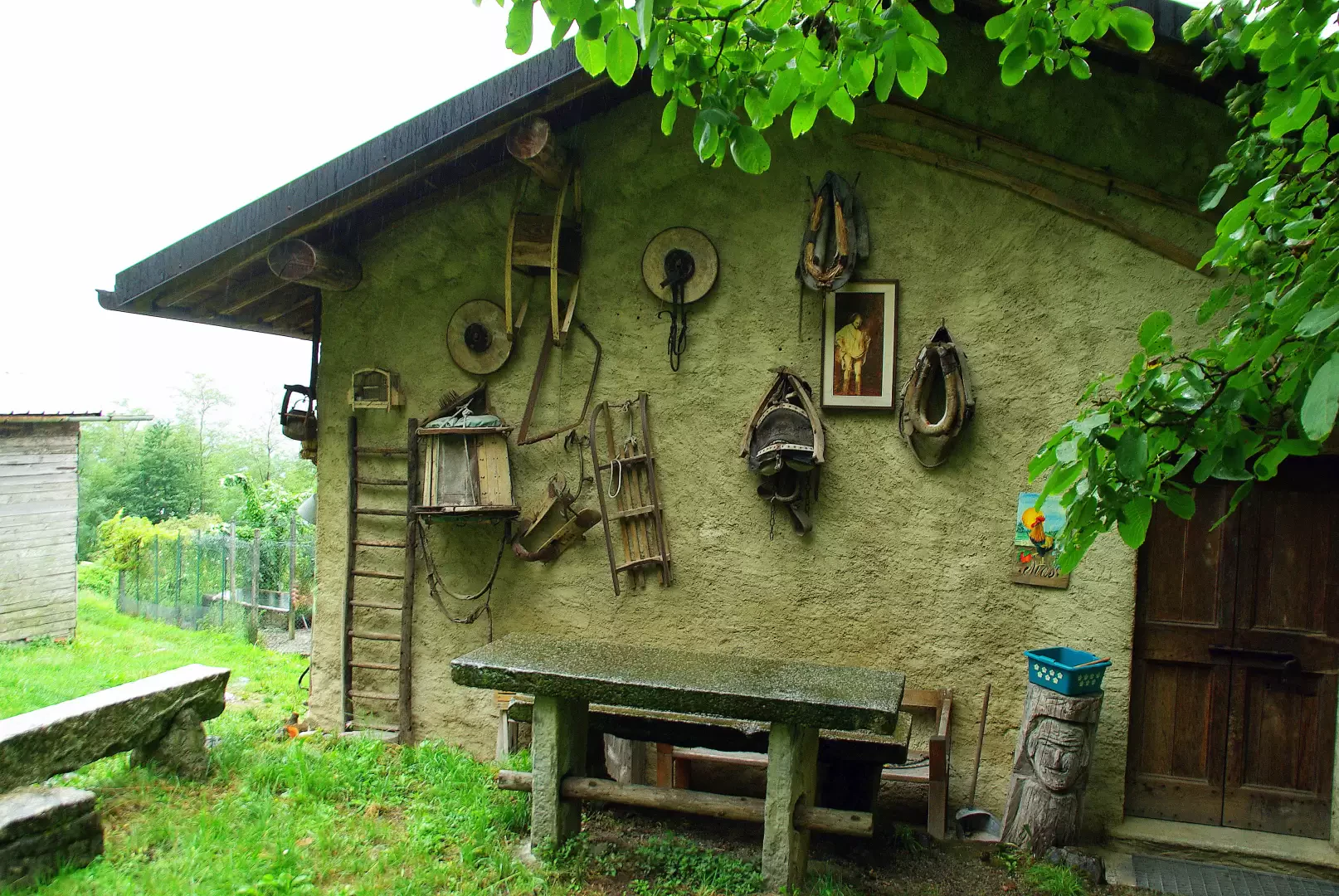
signpost, it is worth detouring briefly to the Torre del Barbarossa (a few steps through the charming village lanes): an ancient medieval tower topped by a 19th-century terrace, now an ethnographic museum open on request. Continuing the walk, you come to a square with a fountain, turn left and begin to climb along a beautiful paved and stepped mule track. You soon reach a plateau where you continue zigzagging between the fences of vegetable gardens and orchards: a little further on you come out onto a grassy track beside a farmhouse (ai Mas) and turn right. The track becomes a mule-track again and, still following the sometimes faded painted markings, takes you past two semi-destroyed huts to a fork in the road: to the right is a large double beech tree near the source of the Tuf and then a long traverse to the south, interrupted only from time to time by a few hairpin bends to gain altitude. You pass through a small larch wood with a small wooden hut and continue climbing - at a fork in the road, follow to the right - until you join a wide track coming from the left (variant from Rongio, another hamlet of Mandello). Continue until you climb up the side of a sort of wooded and somewhat rocky ridge: an arrow points to the Zucco della Rocca to the right. The path is narrow and stony: a few dozen metres downhill lead to a fork (remnants of a timber cableway pylon - locally 'palorcio') that separates a rocky outcrop - the Zucco - from the ridge previously reached. Climbing among the stones, bushes and roots of an increasingly faint trail, one reaches the tiny terrace with the Roman cistern; about ten metres higher one faces the summit of the Zucco della Rocca, with a beautiful view of the lake panorama.
Return along the outward route.
General information
Trail signposts:
,
Type of route: a/r
Exposed sections: the summit terrace
Photo gallery
Comments (0)
Sign in to leave a comment