Acquafraggia waterfalls, from Borgonovo di Piuro

Edited by:
Marco Bonati
Updated at: 04/05/2025
Access
From Milan to Chiavenna along the ; at the town's main roundabout turn right in the direction of the Maloja Pass and continue to Borgonuovo di Piuro. At the 'Acqua Fraggia' tourist sign, on the left, there is ample paid parking.
.Introduction
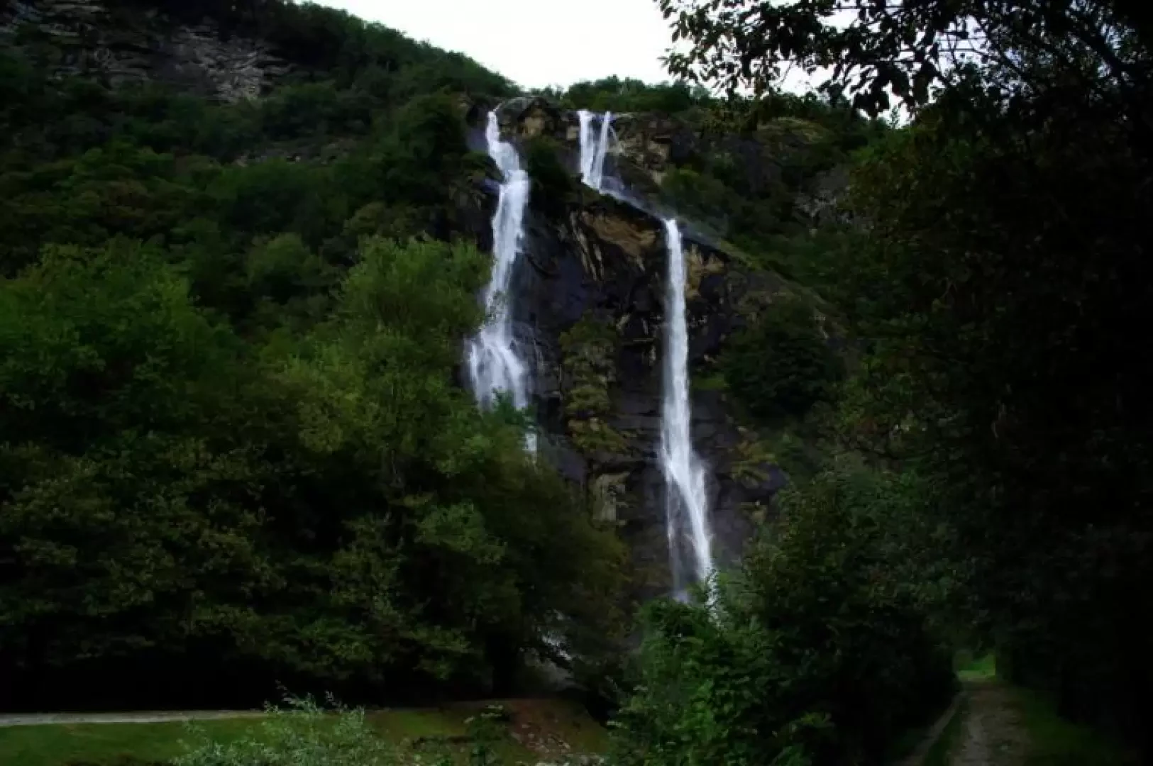
Description
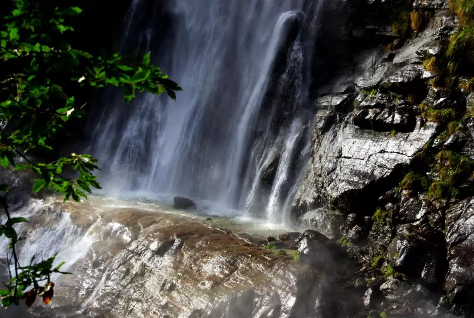
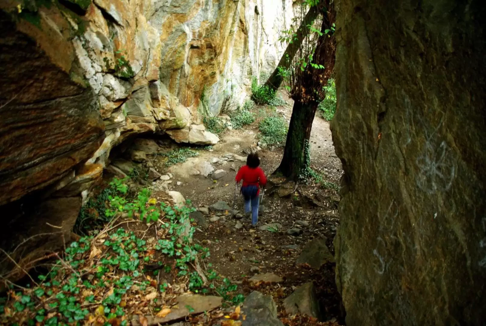
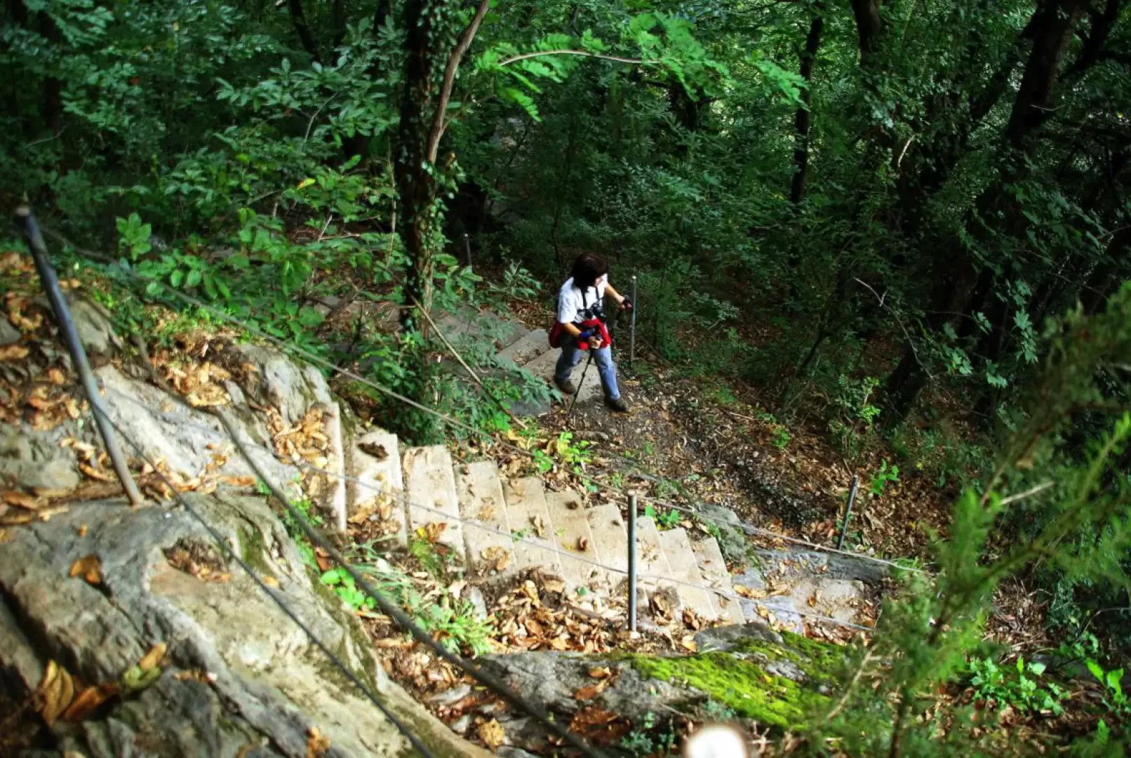
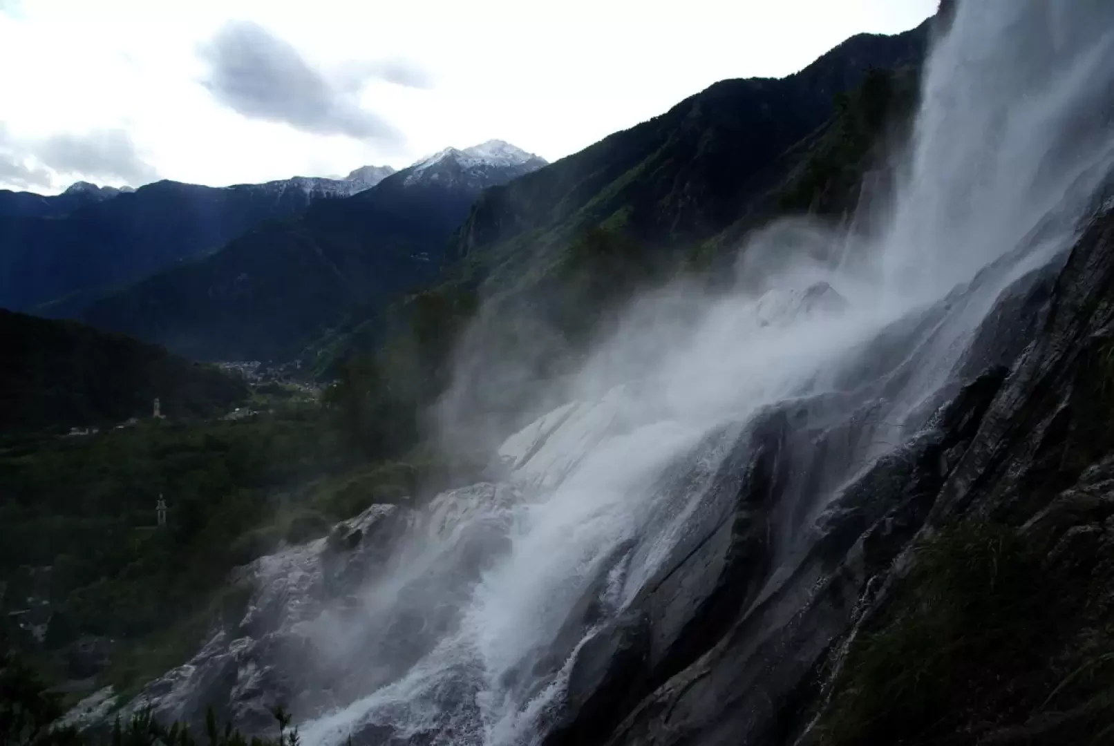
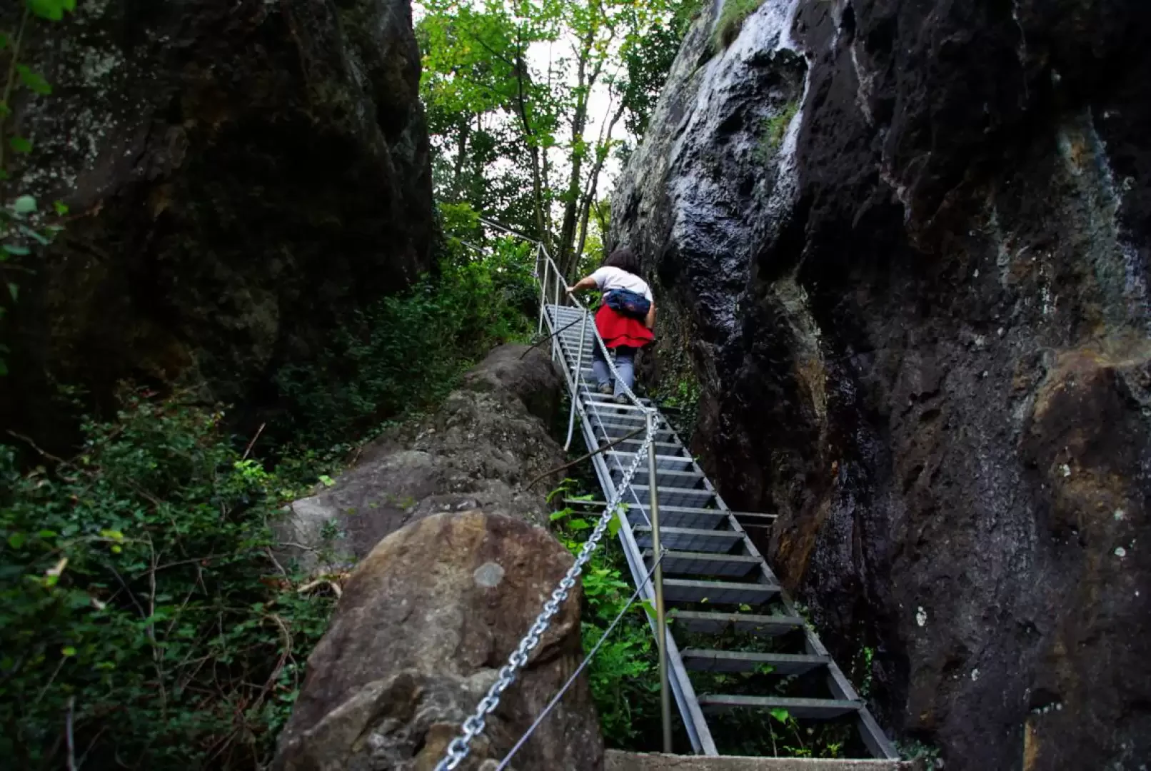
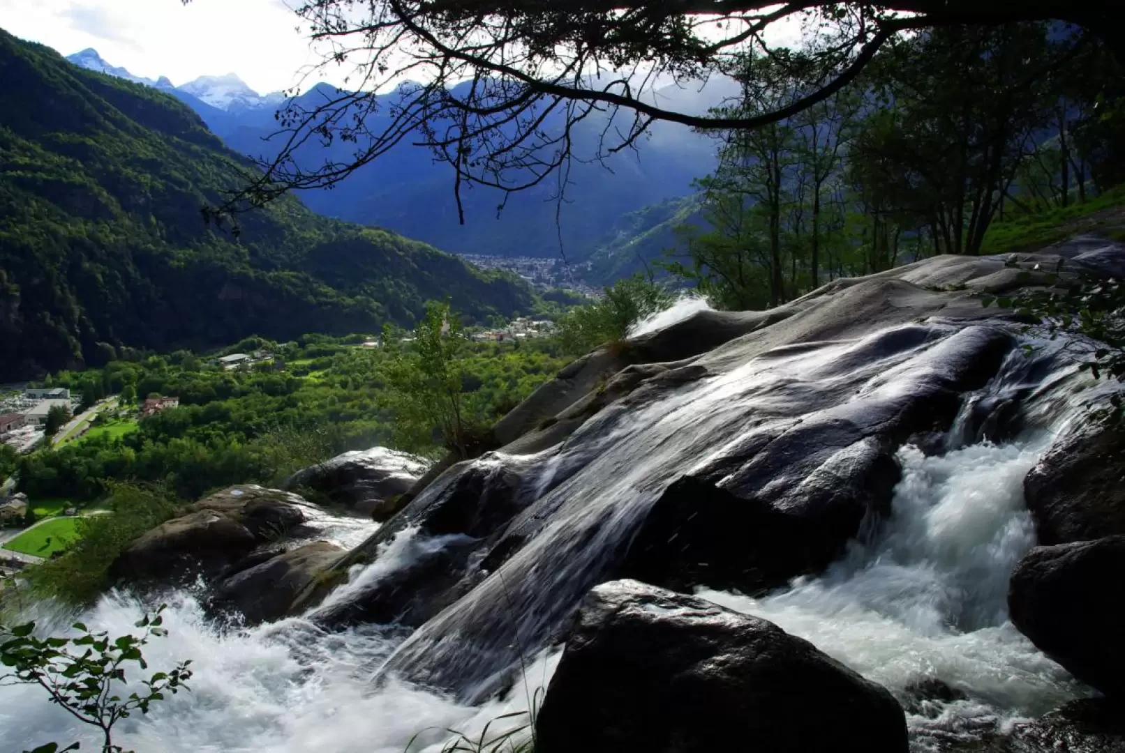
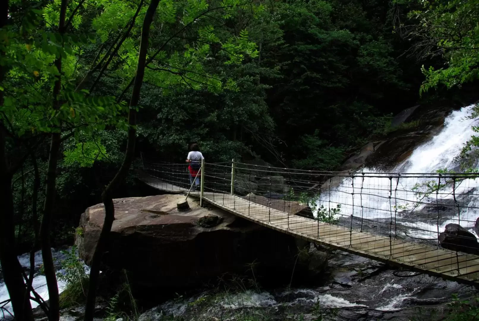
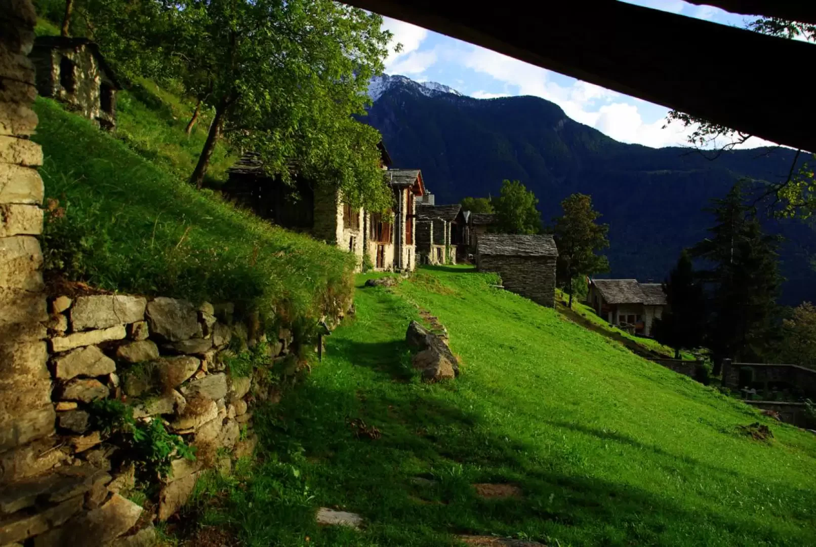
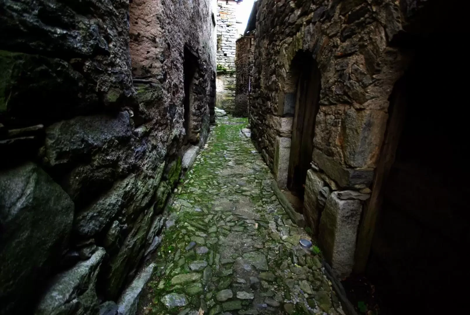
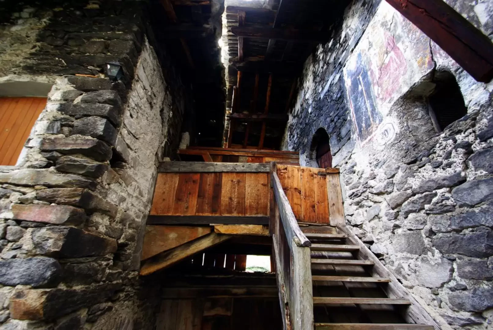
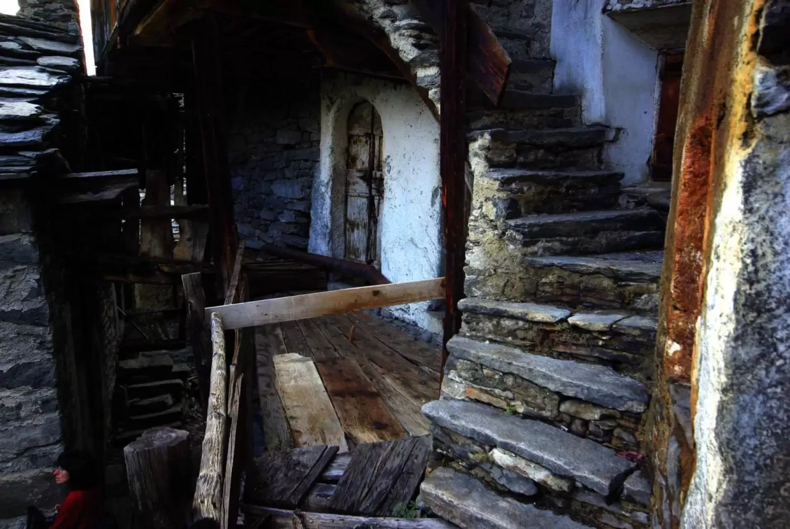
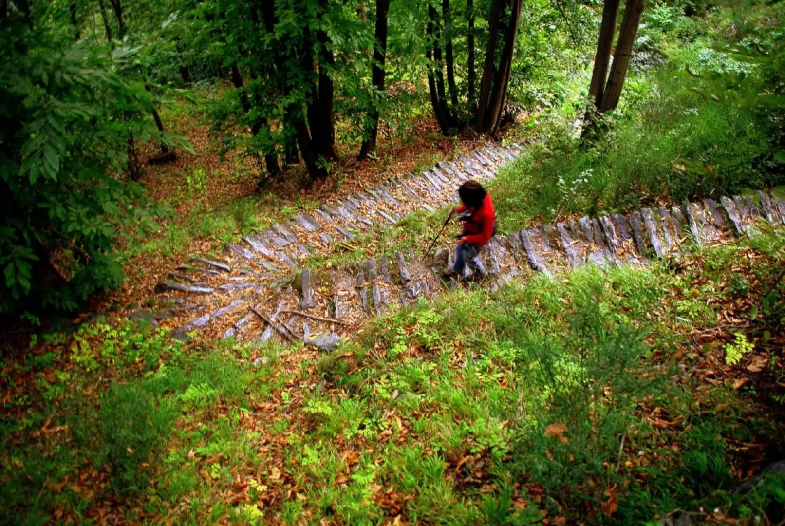
0h00' From the 403m car park, go up the right bank of the stream coming from the waterfalls until you reach its base; turn right keeping in contact with the rock face (Acqua Fraggia Gym: medium-high difficulty) and, by means of small paths, reach the houses of Serlone: at the top of the climb, there is a fork in the road. We take the less visible path to the left, where the steep climb begins immediately and will accompany us to the start of the waterfall jump. A few stretches of natural path intersperse long artificial steps of concrete or metal, always protected by handrails for progression. A short digression to the left leads to a belvedere square about halfway up the waterfall. A small wet plain with two footbridges over secondary branches of the stream precedes the crossing of the Acqua Fraggia on a long, swinging rope bridge. On the other side, continue the ascent along the stream to a new bridge (beautiful waterfall embedded in the wall to the left); from here, climb up the wood with wide bends to a barely visible fork: at a dry stone wall, contrary to what is suggested by arrows and the orange-coloured "Savogno" sign, turn left and - after a ledge protected by handrails - follow a very direct little path that quickly leads to the western edge of Savogno 932m. After visiting the water-powered sawmill, one of the village's many little streets (note the particular architecture of the old houses) leads to the other side, near the church and parish house; from here, the beautiful mule track back to Borgonuovo begins. Making the most of the slope's inclines, the path descends in twists and turns through the chestnut grove and, after three splendid monolithic drinking troughs and some abandoned crotti, returns to the Serlone crossroads. From here to the car park along the path and the Acqua Fraggia embankment.
Exposed sections: equipped with handrails
Galleria fotografica