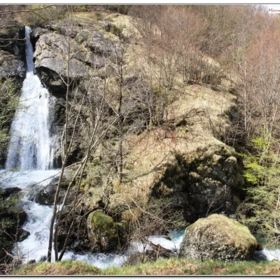
Ravezza Waterfall, from Cerisola
Access
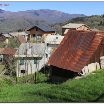
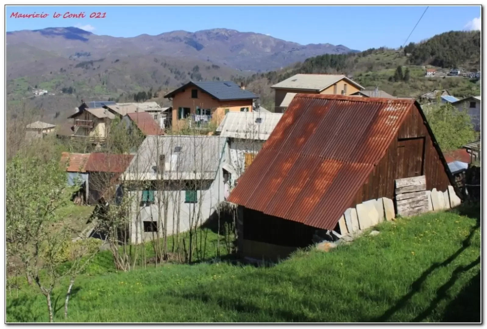
The journey by car, from Lavagna, leads past Rezzoaglio where there is the small village of Cerisole, parking the vehicle.
Introduction
Partial loop between Cerisole, the Ravezza waterfall, the Aiona canyon and Villanoce.
The tour offers various hints and satisfies a pet project of the author, who has always been very sensitive to waterfalls. Thanks to a volume on the Aveto, this opportunity formed by the Rezzoaglio stream was also discovered.
Description
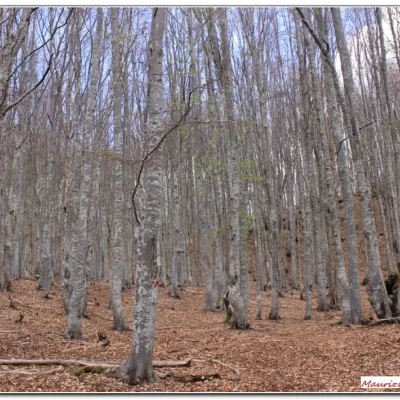
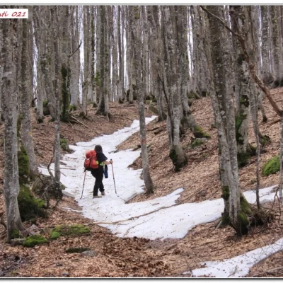
From Cerisola (860m), head inland along one of the many paths that join up at a wash-house. The climb is immediately steep and leads between the cottages of Cerreie. Further on, you cross the track coming from the Lago delle Lame lake and keep to the left until the fork for the Ravezza waterfall (1080 m). Having seen the spectacle (the height is around 25 metres), made fascinating by the extreme abundance of water, we persevere through the forest with tracks that are always very sloping and tiring in the dense forest, with the beech trees asserting themselves! The marking of the park with markers is always for the benefit of those descending, so look carefully for the letters on the trees or the stones Finally, after 3h you come to a level path (1460m). To the right is the area known as the Aiona Canyon. The steep slope of the Aiona mountain is covered with snow. Cautiously one turns back, varying the descent with the Fie symbol for Villanoce. Many downed branches complicate the passage and crossing a stream about 2.5 metres wide can be problematic. The signposts join a dirt track and we arrive at Villanoce. Follow the tarmac road to the left, recovering the car (2h30)
.In short: Diff. E (strenuous) - difference in altitude 600 m - 11 km - 5h30 approx. total + stops - weather: good in the morning bad from the middle of the day. Walking comfort: poor. Best period: autumn and spring, avoiding the cooler days. Tour interest: medium/high
If you want, here is the pdf photo file, with some other news:
http://www.cralgalliera.altervista.org/RavezzaPendiciAiona021.pdf
http://www.cralgalliera.altervista.org/anno2021.htm
http://www.cralgalliera.altervista.org/altre2021.htm
NB: In the case of an excursion, always check with FIE, Cai, any park authority or other institutions, pro loco, etc., that there have been no changes to the route, that there have been no changes that have increased the difficulties! No liability is accepted. The present text is purely indicative and not exhaustive.
Info Hiking Section Cral Galliera: http://www.cralgalliera.altervista.org/esc.htm
Trips 2021 at the link: http://www.cralgalliera.altervista.org/gite021.pdf
