Villages in Traversella
Access
At the motorway exit in Ivrea, take the Pedemontana road , in the direction of Castellamonte / Cuorgnè / Valchiusella. About 6 km from the motorway exit, turn right onto provincial road and, 300 metres later, left onto provincial road , in the direction of Valchiusella / Traversella. You will reach Traversella after approximately 18 km. Before the village, turn right towards the car park of the mines.
Introduction
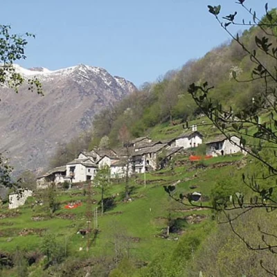
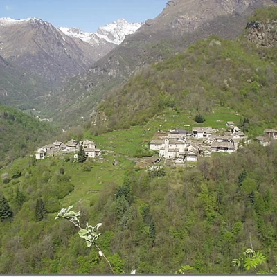
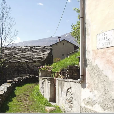
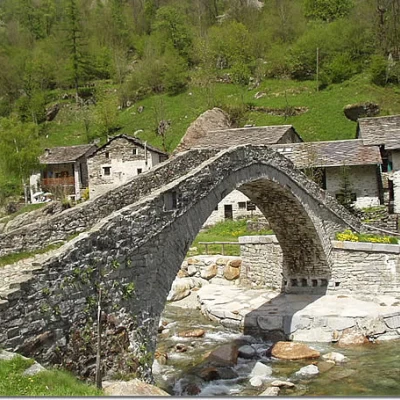
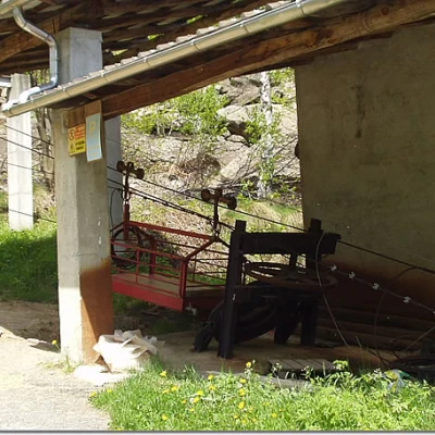
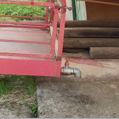
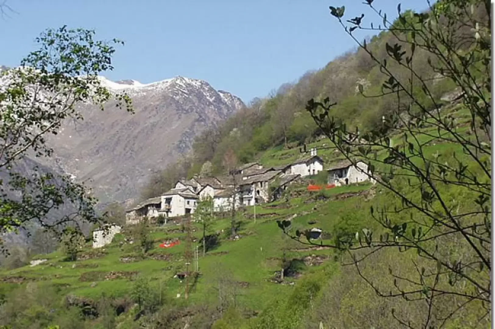
Downstream of the "Sentiero delle Anime" (Path of the Souls), undoubtedly the best-known itinerary of the Valchiusella, with some ups and downs, is the path that joins Traversella, Cappia, Succinto and Fondo. Succinto is probably the most picturesque hamlet of the Valchiusella and is also known for its ingenious water cableway: for its operation, the bottom of the upstream trolley is filled with water, which, acting as a counterweight, facilitates the ascent of the downstream trolley. Once in the valley, the trolley is emptied of water and the cycle can resume. At the bottom of the valley, however, the village of Fondo is known for its beautiful and well-kept stone arch bridge, built in 1727, and is the classic starting point for the head of the valley.
Description
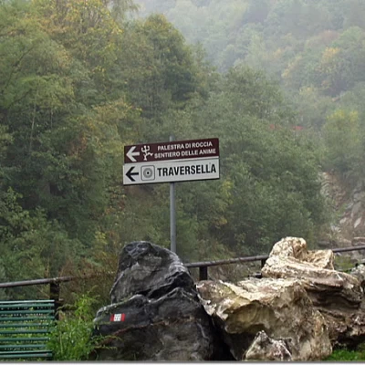
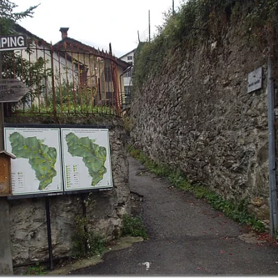
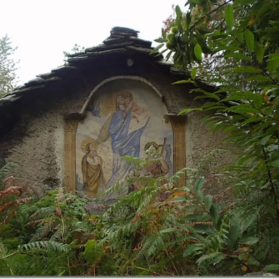
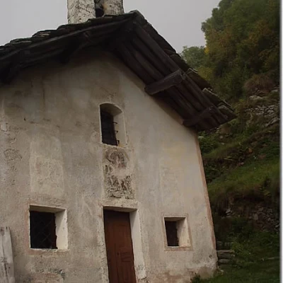
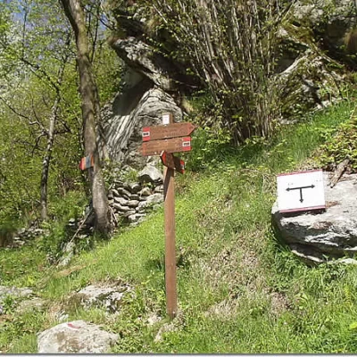
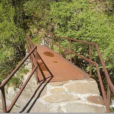
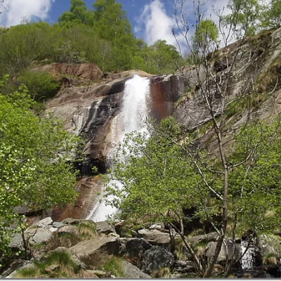
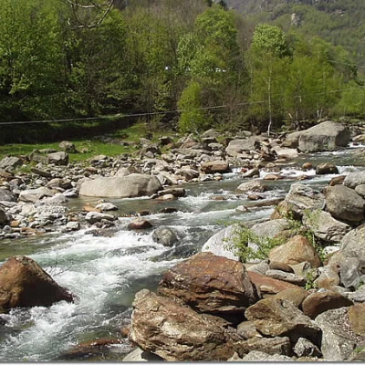
From the car park, cross the bridge and, between two ruins, follow the dirt track, signposted and with directions to the Palestra di Roccia, the 'Sentiero delle Anime' and the centre of Traversella. The path leads into Traversella and to Piazza Cavour (also reachable by car, but it is difficult to find free parking). In the square, on the right, obvious signs indicate the way to the Bruno Piazza, Chiaromonte, Palestra di Roccia and Sentiero delle Anime refuges. Two tables of the Comunità Montana Valchiusella are also displayed on the corner wall. One climbs up Via Monte Marzo and, after passing the last houses of Traversella, enters a forest of chestnut, birch and hazelnut trees. Along a wide path, we soon reach the rock of micaschist called Ròch 'D La Fornas (905m), which bears an engraved cross in memory of Vignadocchio Domenico, an inhabitant of Traversella who died tragically in 1905. Leave the direct track to the 'Sentiero delle Anime' (Path of Souls) to follow the track to the left, marker [730]. Go past the Roncole hut and, still in the forest, make a long stretch halfway up to a grassy clearing where a hut with a frescoed façade is clearly visible. Continue up and down, passing by a large rock and reaching the clearing of the Traunt hut, intersecting, on the left, the path to the hamlet of Chiara. The trail re-enters among the birch trees, fords a couple of often dry streams, reaches a clearing of grass and ferns and turns right on a steep incline on the border between forest and clearing. The track climbs the steepest slope and then turns left, shortly afterwards leading into view of the village of Cappia. Halfway up the slope, amidst slight ups and downs, you reach the vicinity of the village. A final steep climb leads to Cappia (1179m, 1h45'). Climb up to the right of the church along a lovely stone-stepped path. After a few twists and turns, the GTA (Grande Traversata delle Alpi) path intersects and a signpost shows signs for Succinto, Fondo and Bocchetta delle Oche on the left, Rifugio Chiaromonte, Rifugio Bruno Piazza and Sentiero delle Anime on the right. Take the mule track to the left, slightly downhill, to reach a viewpoint over the hamlet of Succinto, near a votive pillar. The mule track, in the hazel grove, enters the valley of the Tarva stream (which is crossed on a small metal bridge) and climbs up to the first houses of Succinto (1164m; 2h25'), in Via delle Steje. Crossing the hamlet, one passes just above the arrival station of the Succinto water cableway. From the Holy Trinity Square, where the church stands, leave a large fountain protected by an arch on the right and proceed towards the second group of Succinto houses. After passing by some vertical rock walls, the trail descends diagonally to ford a stream and ascend to the Lasassio alp (Lasas) (1101m). The track now leads to the ford (not easy and very slippery) over the Mares stream, below a beautiful waterfall, and then to the meadows surrounding the orographic left of the Chiusella stream. In a few minutes you reach Fondo (1074m, 3h15'), near the characteristic arched stone bridge. To get a few more panoramic views of this part of the Valchiusella valley, climb back up the bridge and return along the tarmac road to the orographic right of the Chiusella stream. When you reach the locality of Pian Quassolo (4h00'), it is advisable to turn left to take a closer look at the valley station of the Succinto cableway. Proceeding along the road you reach Traversella in Piazza Cavour and, retracing Via delle Miniere, you arrive at the car park of departure (831m, 4h45').
