Salassi Village, from the Artaz car park

Edited by:
Gian Mario Navillod
Updated at: 15/05/2026
Access
At the motorway exit of Châtillon, after 300 m turn right in the direction of Breuil Cervinia - Valtournenche. After 1.2 km you will reach a traffic light: go straight on and then turn right, passing a subway, in the direction mentioned above. You are now on the national road and, after passing another set of traffic lights and two tunnels, at 3.7 km you come to a roundabout: turn right onto the regional road of Valtournenche. At Antey-Saint-André, after 11.4 km, turn right in the direction of La Magdeleine; ignore the junction for Promiod (16.2 km) on the right and finally reach the church of La Magdeleine (19.2 km). You pass the bell tower of the parish church, then continue for about 1 km until you reach the square in the hamlet of Artaz, where you park your car.
Introduction
A wonderful excursion for families. For the most part, the route runs along dirt roads with little use for motor vehicles. On the way up, you pass by the Croux and Charey lakes, where you can stop for a picnic. A picnic area has been set up at Col Pilaz. The best time of year is during the early summer heat, when the melt waters fill the lakes and the crocus blossom dots the green pastures with pink and white.
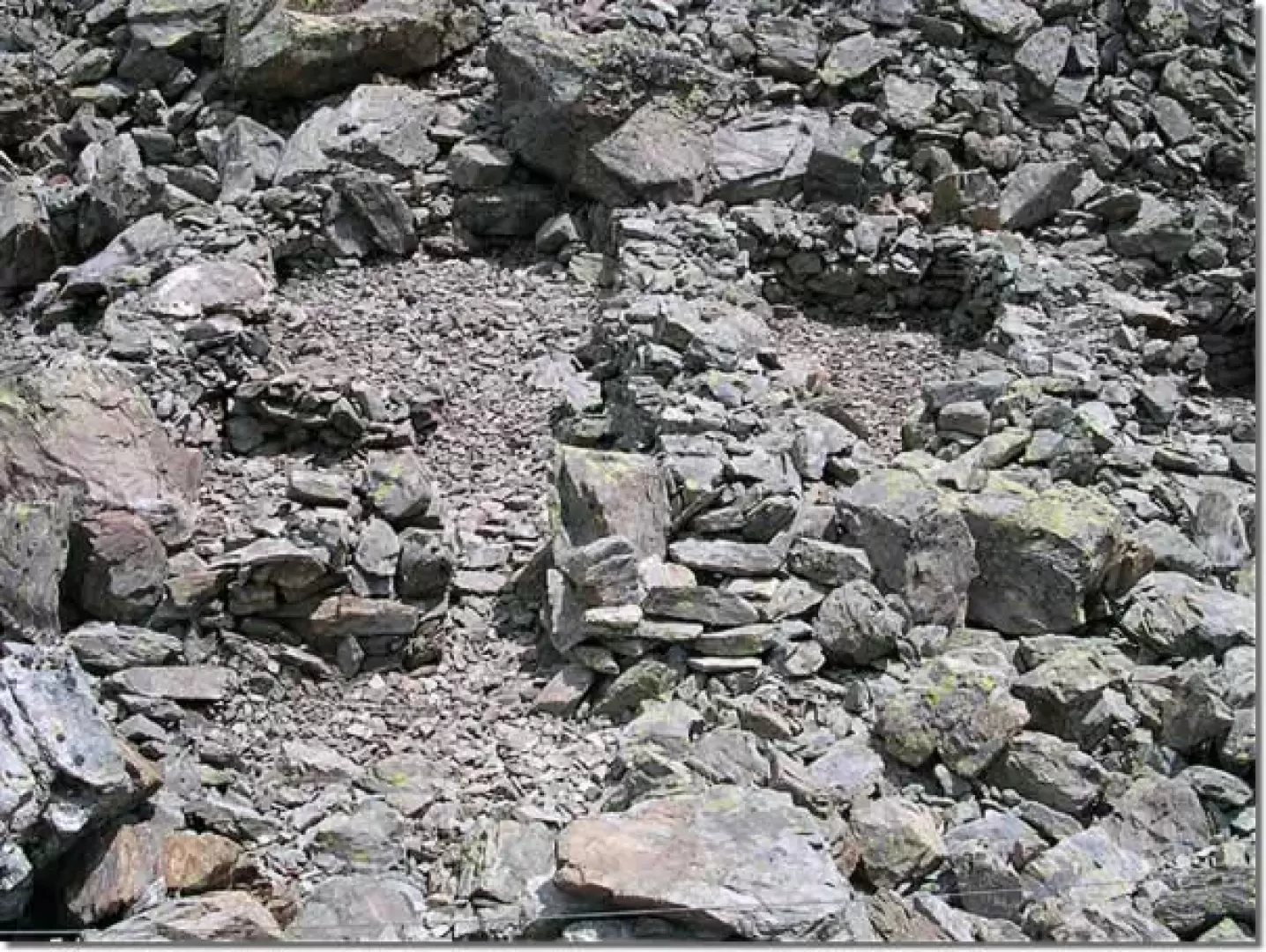
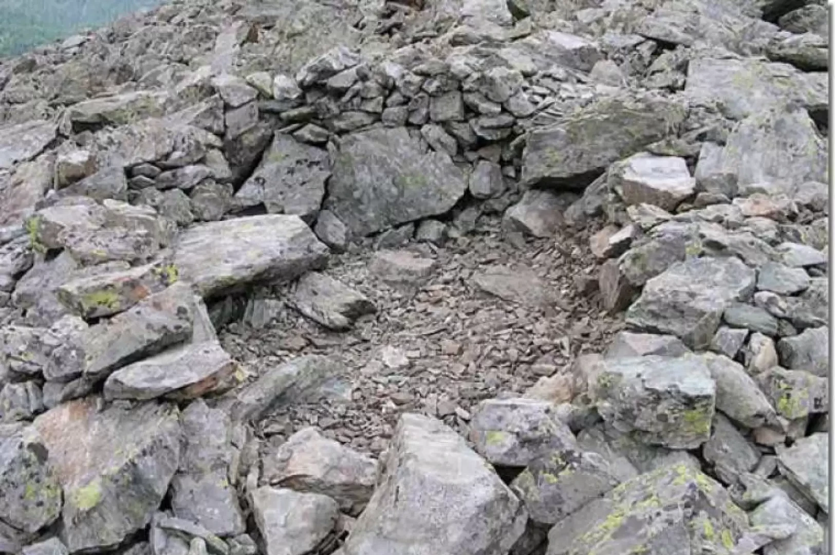
The large Tantané settlement is still a mystery to archaeologists. It appears to have been inhabited for a couple of centuries in the 2nd and 1st centuries BC. It consisted of more than 25 huts with stone masonry and wooden roofs and was also frequented by women. Its location, relatively far from hills and watercourses, would seem to rule out its function as a stopping place, and even taking into account a warmer climate than today, it is difficult to imagine an agricultural use of the village, precisely because it is built close to the stony ground surrounding the summit of the mountain. Some scholars consider the settlement to be linked to a mining activity. Unfortunately, to date, no iron deposits or traces of mineral cultivation have been found in the area to confirm this hypothesis.
Description
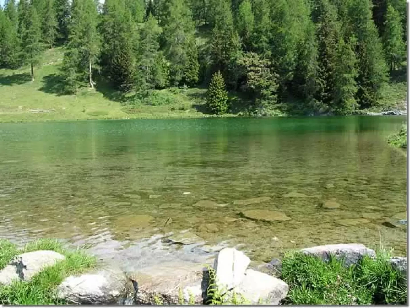
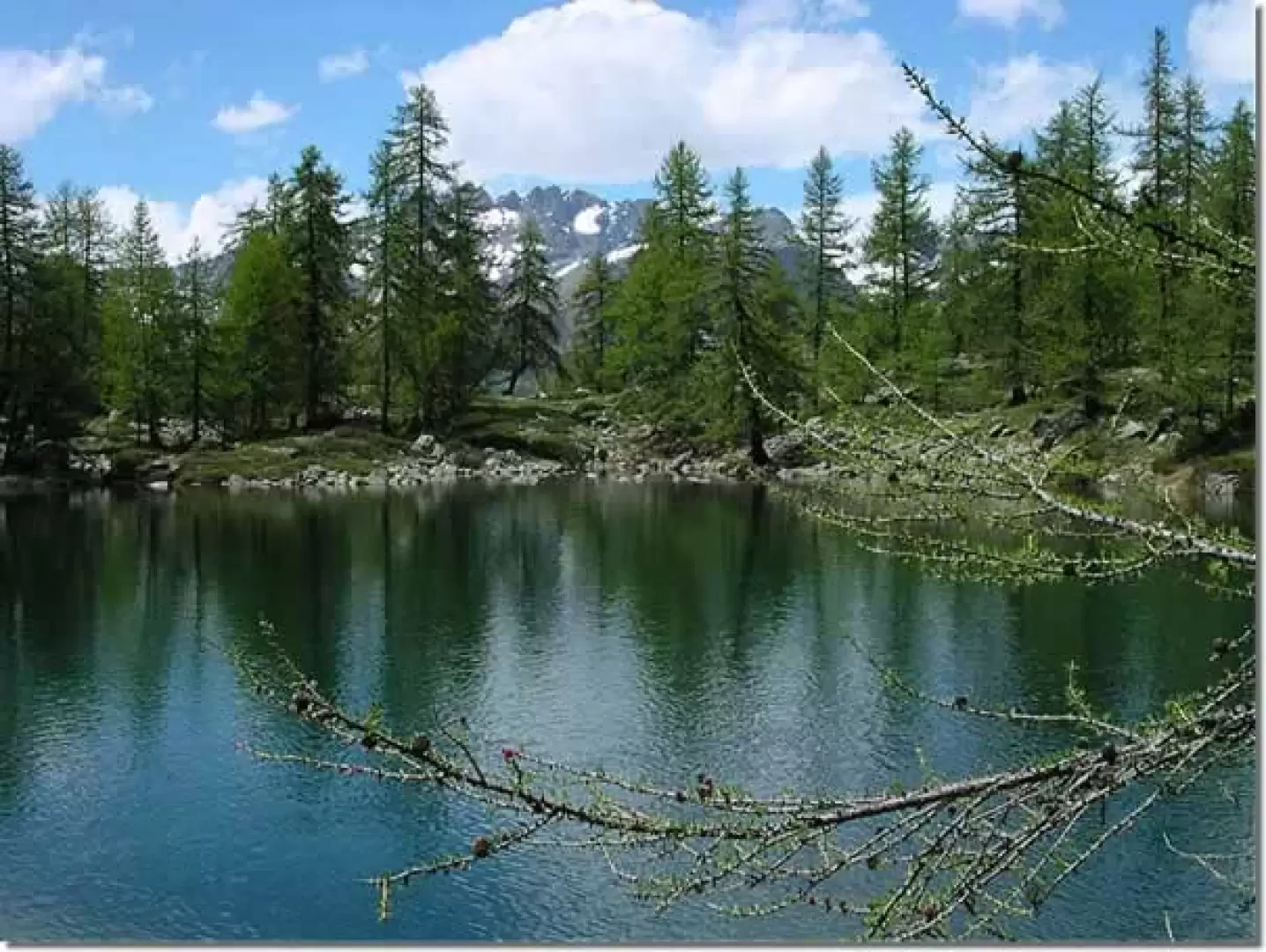
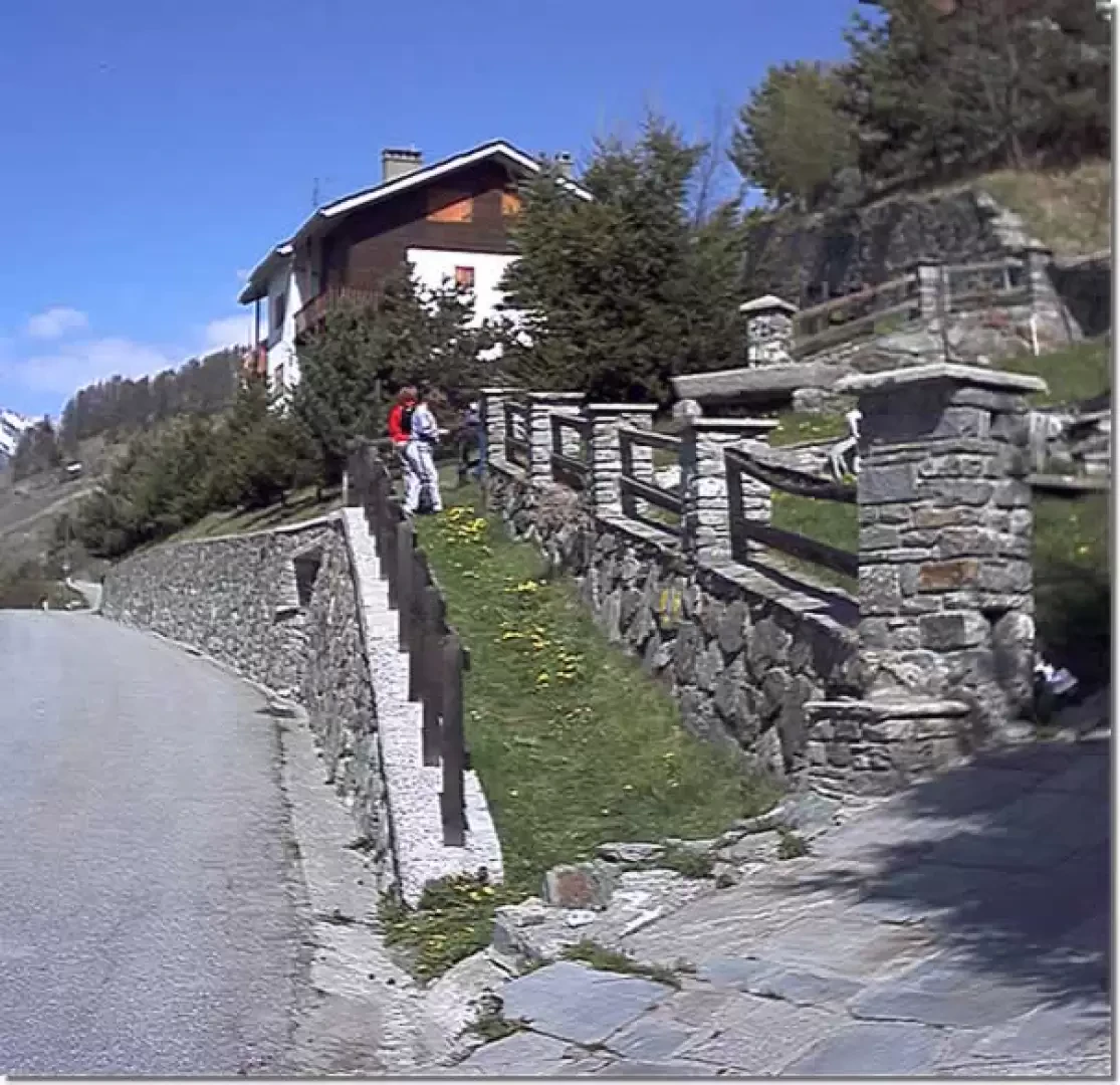
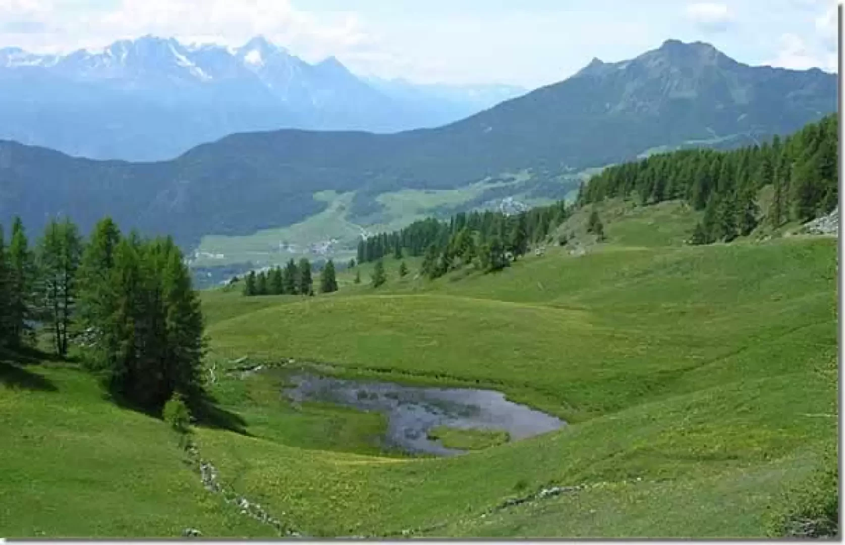
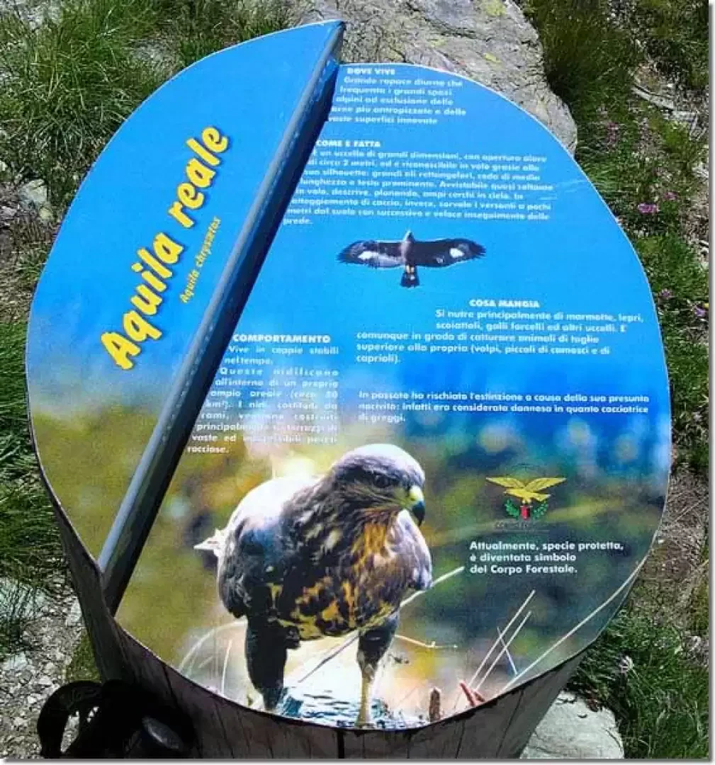
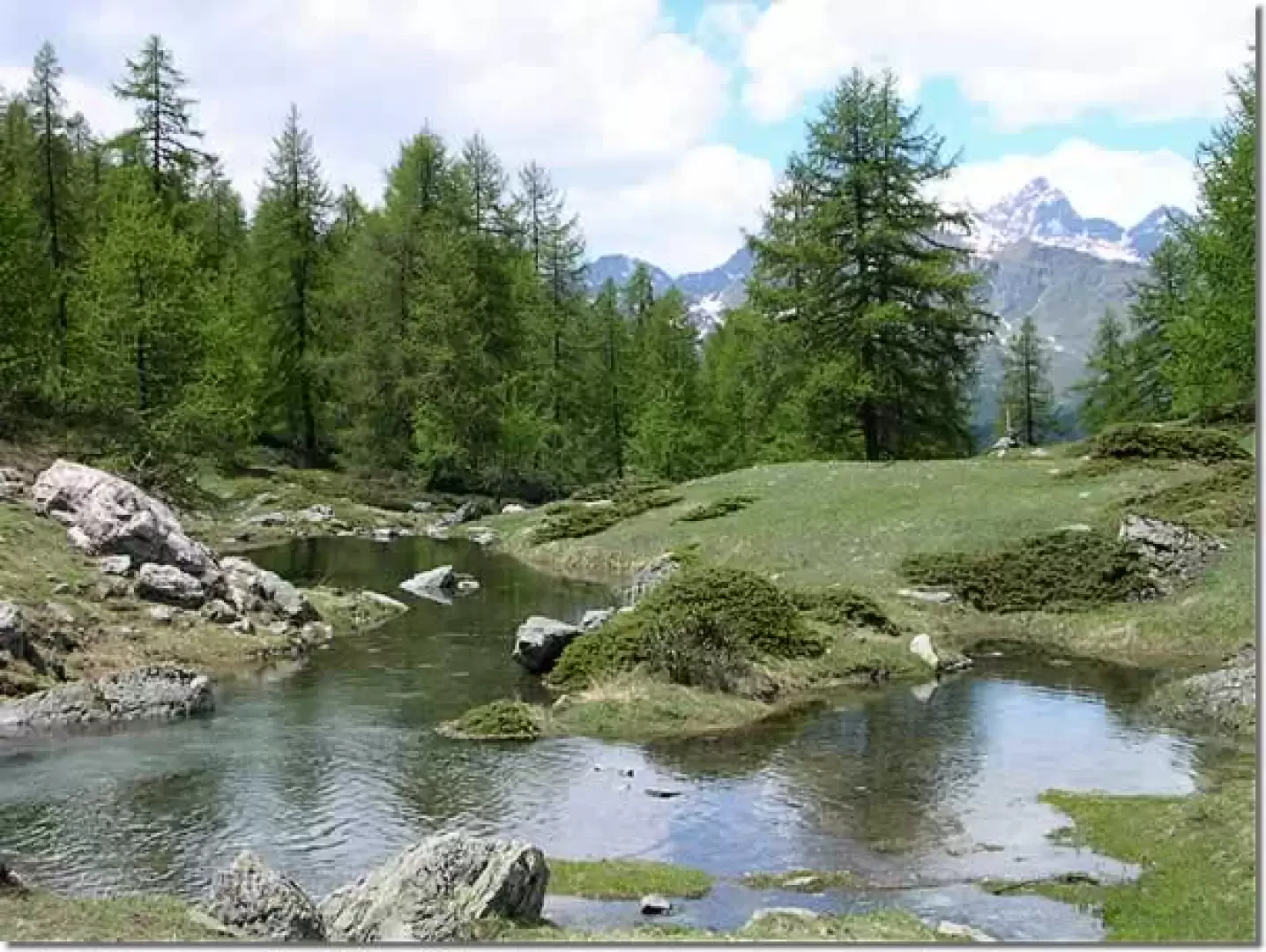
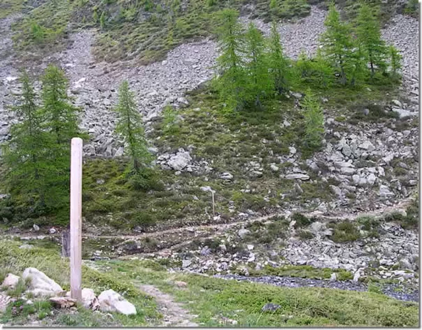
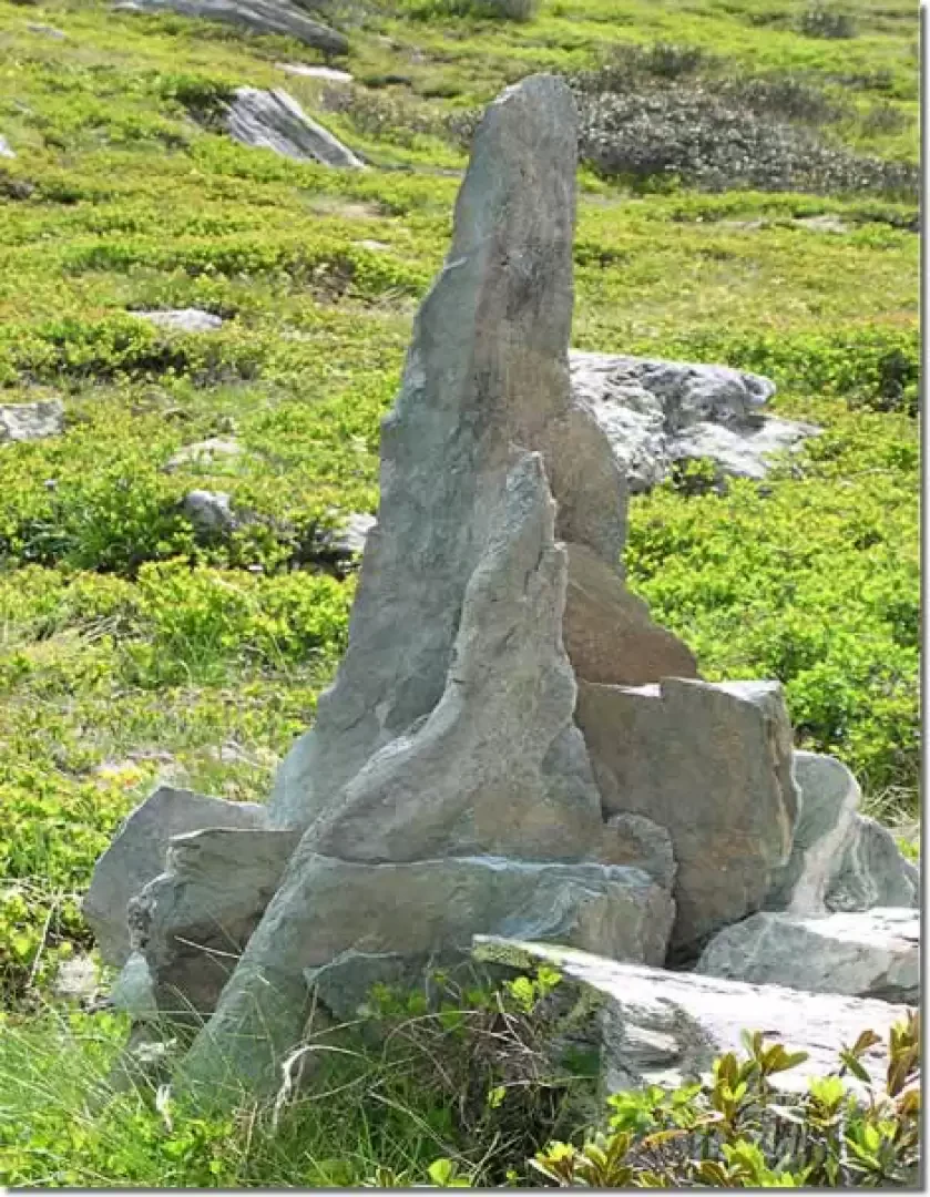
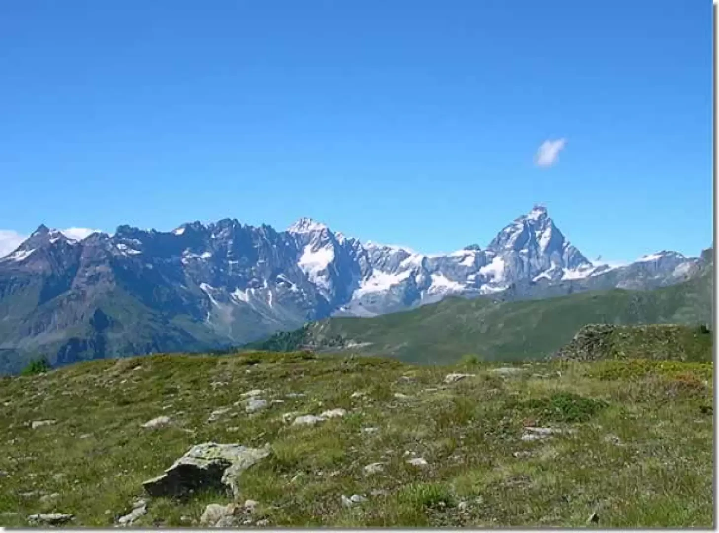
After leaving the car in the large square in the hamlet of Artaz, where the regional road ends, enter the historic centre of the village, passing by the old fountain. A few steps further on there is a fork in the road: go up to the left following the signposts, taking care not to follow the signs leading to the right, towards the Portola pass. Immediately afterwards, cross the asphalt road and take the path that climbs steeply between the cottages and pastures until you reach the dirt road, which you follow for about twenty minutes until you reach the Laye cottage. Immediately after the building, a shortcut begins that climbs to the left and leads to Lake Croux in about 10 minutes. From the lake, follow the track that skirts it on the left and then climbs steeply between the trees. After about ten minutes, the ascent becomes gentler and the track loses itself in a meadow carpeted with gentians. Continue on level ground towards Col Pilaz until passing behind the ruins of a hut, from where there is a breathtaking view of Mount Barbeston, the Emilius pyramid and the valley of the Tzan bivouac. Behind the larch forest, the peak of Mount Zerbion peeps out, with the white dot of the Madonna statue at the top. In a few minutes, passing above Lago Grande Puine, you reach the dirt road that climbs steeply from Col Pilaz into the forest towards the Tantané. This is where the La Magdeleine municipality's path panels begin, full of valuable information on fauna, flora, geology and Alpine culture. Follow the track inside the forest until you reach first the outflow and then Lake Charey, a beautiful stretch of water surrounded by larches, where a small snowfield still stands in early summer, staining the cerulean waters white. Continue along the dirt track that comes out of the forest, pass the Charey mountain pasture, and near a small stream, leave the dirt track for the splendid path that branches off to the right and heads south along the slopes of Mount Tantané. After a few ups and downs, upstream of the path, you come to a triangular stone embedded in the ground. From this point, leave the main track and head towards the summit of Tantané, following the grassy ridge until you reach the stony area where the remains of Iron Age huts can be found.
The return journey is along the same route as the outward journey.
General Information
Path:from Artaz
Signposts: 3, 2 then absent
Type of route: a/r
Recommended period: May, June, July, August, September, October
Objective Danger:none
Exposure to sunlight:west
Exposed sections:none
Water: Artaz
Galleria fotografica