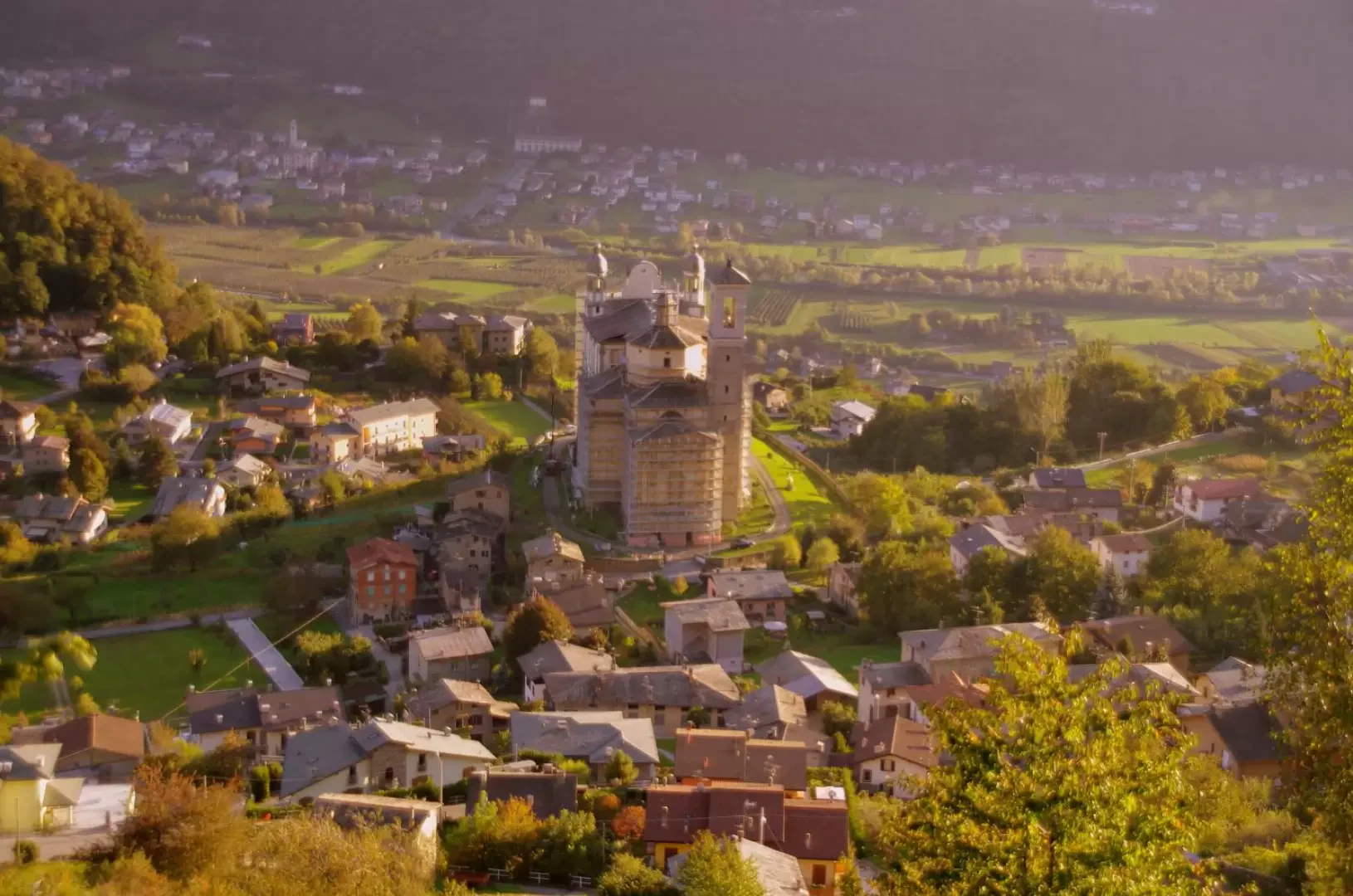
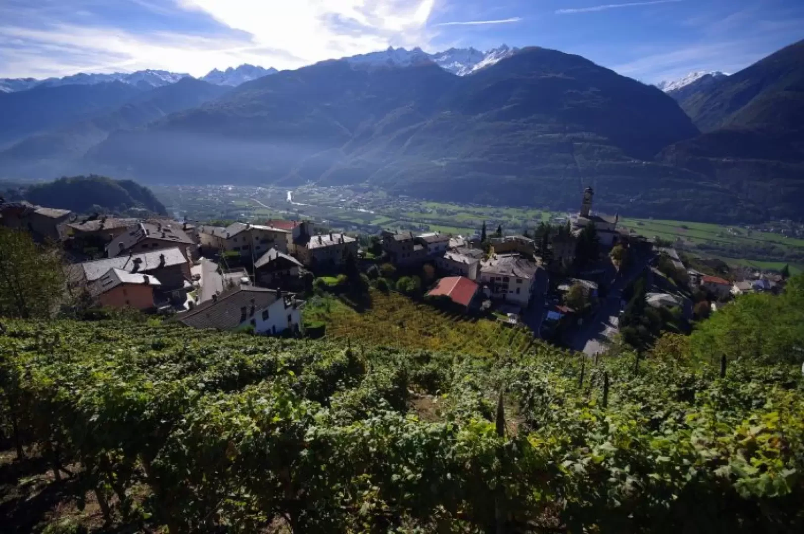
Rogna Valley, from Poggiridenti

Edited by:
Marco Bonati
Updated at: 22/12/2024
Introduction
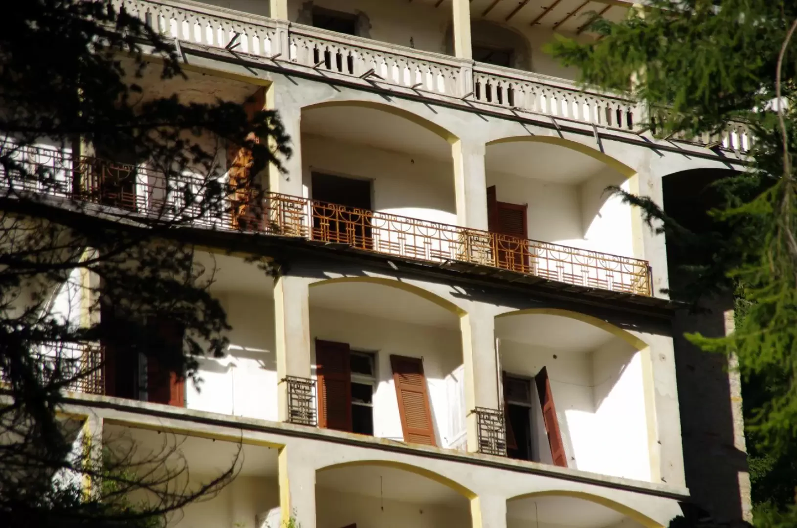
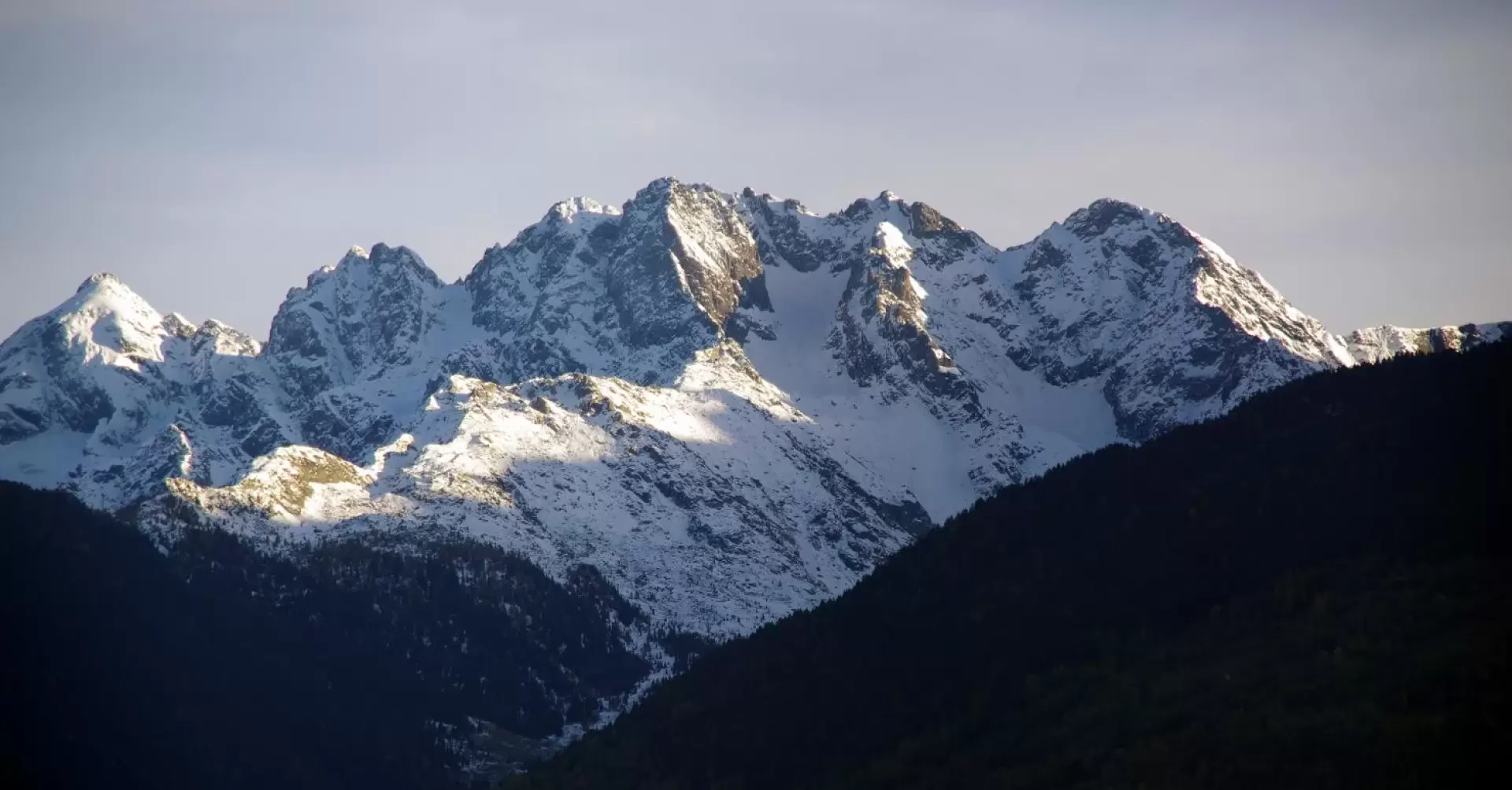
Beautiful low-altitude hike, very suitable for the autumn and spring months. According to the little information available, it should have been a very simple ring-route, and for the most part - once at altitude - flat; in reality, the situation of the route is quite different, and some stretches - due to total neglect - prove to be, if not difficult, dangerous and often poorly signposted where essential. A further note of bitterness is due to the scandalous situation of the former sanatoriums of Prasomaso: a series of hospital structures (a model of modernity for the time) surrounded by a luminous fir forest, built between 1910 and 1930 and totally abandoned in the early 1960s. All reduced to ruins, without any valid hypothesis of reuse ever being considered. The panorama of the highest peaks of the Orobie mountains between Aprica and Sondrio is breathtaking.
.Description
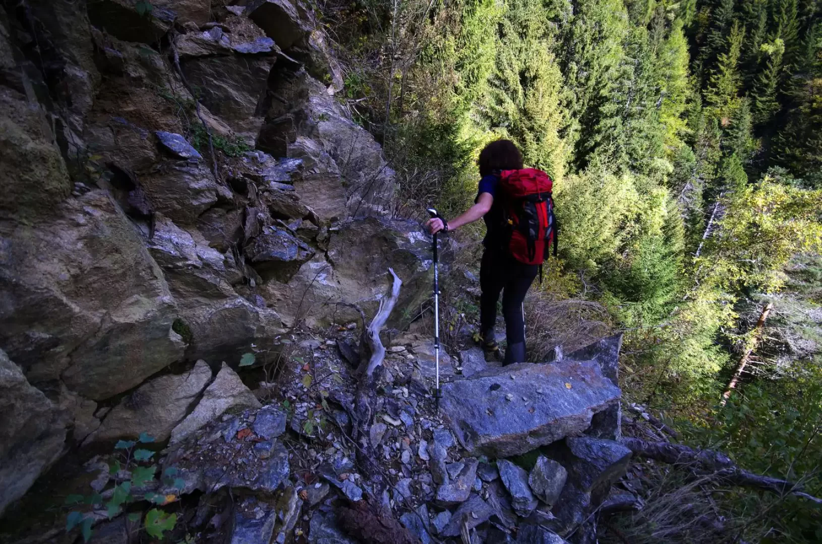
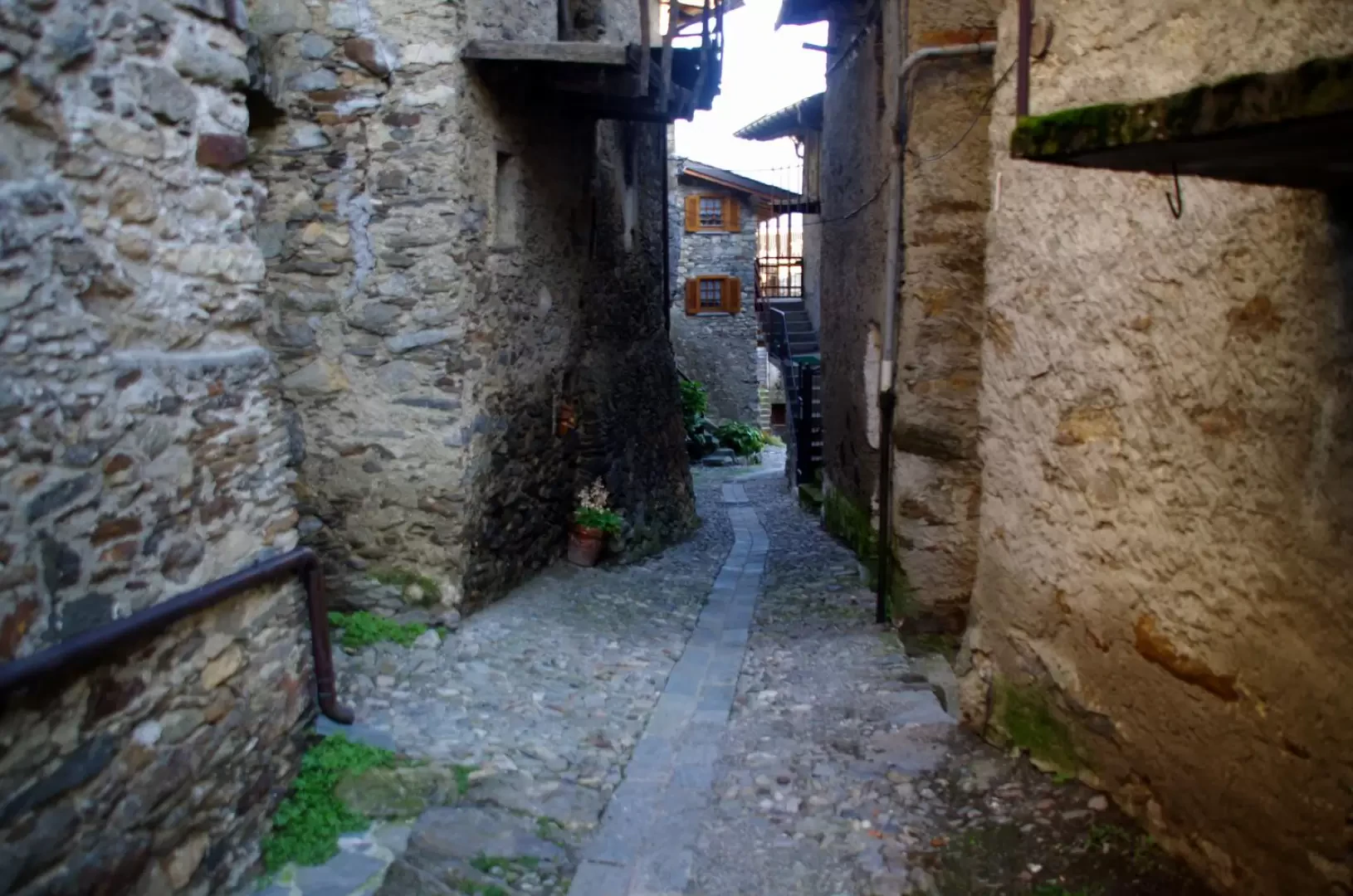
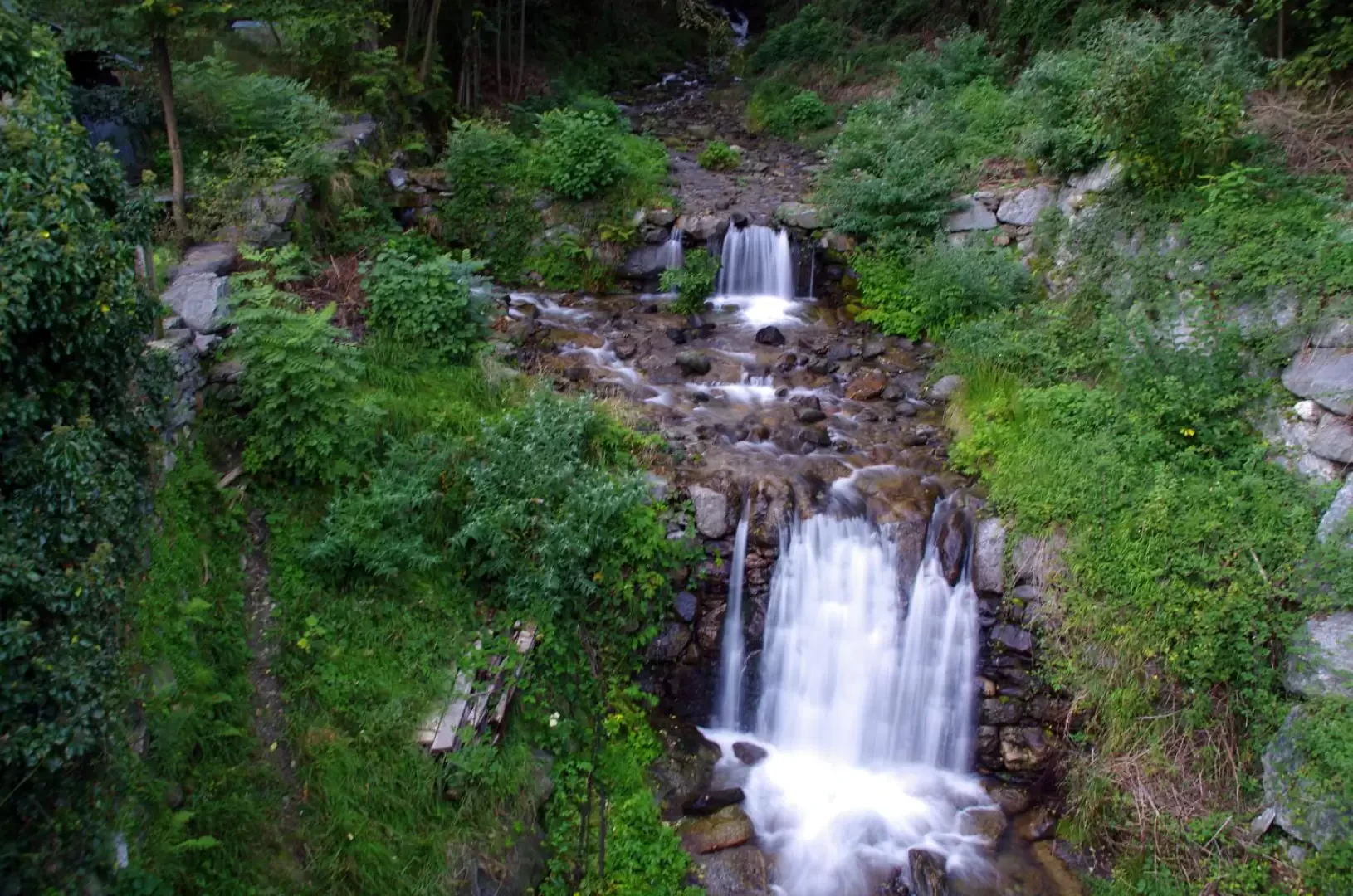
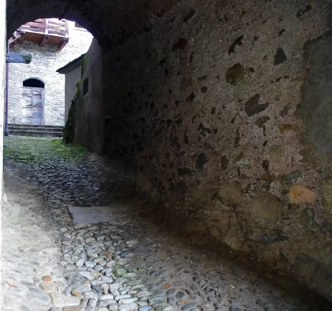
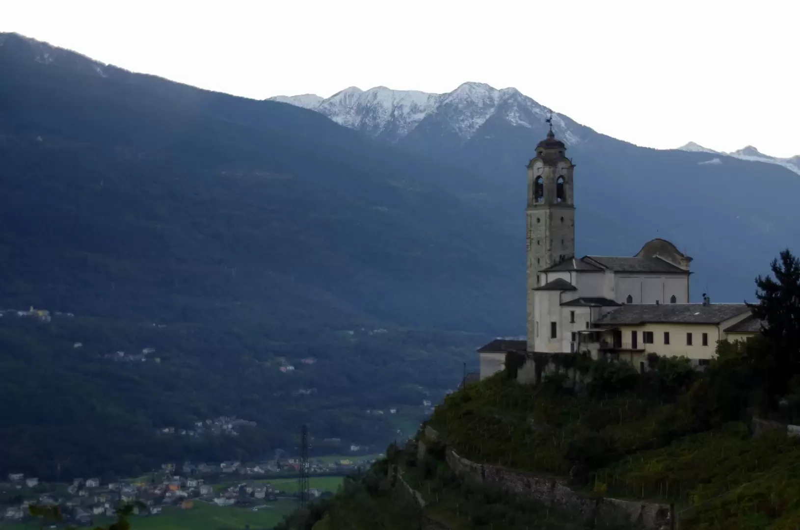
From the car park at Poggiridenti 564m, go up to the parish church of San Fedele (interesting frescoes and, from the rear terrace, a great panorama towards the south-east) and, passing in front of the town hall, you reach the Albergo San Fedele; behind this you take the very steep cemented road (Via Torricello) which, as a short cut, crossing the carriage road three times, reaches the houses of the Surana district 680m. The last stretch is traversed among the vineyard terraces on the original old cobblestones ("risc"). Following the hairpin bend of the cart road or following a lane inside the houses, you go uphill from the houses and continue along the road that, beyond the contrada Pizzatti 694m, becomes a dirt track and then - uphill from the isolated hut of the Scens meadows - a wide mule track. Without deviating, the track continues its traverse through the thick forest that covers the entire lower part of the Valle della Rogna: it leaves it at an isolated house, still inside the forest ("Casa delle Guardie" ex-GdF barracks). Just behind the building, and before an aqueduct tollgate, a very steep little path branches off that, with a long series of hairpin bends, leads to the bright meadows of Foppe 1040m, reaching an asphalted road that ends among the numerous small houses. We follow the track which, having become a dirt road, turns to the right: beyond the last houses we re-enter the forest. After a few hundred metres, we pass a hairpin bend and, at a large grass-roofed aqueduct gate, we reach a further hairpin bend on the asphalt road Montagna-Alpe Mara: here we find one of the few signposts of the entire itinerary (locality Prudè). We take the dirt track that comes off the hairpin bend and follow it for a few dozen metres, until we reach a third hairpin bend: in the absence of signs, we choose the left of the two paths that branch off from this point. The path we are beginning to follow is what remains, in this section, of the 'Sentiero del Sole', a trekking route between Sondrio and Tirano inaugurated in 2002 and which has evidently remained without any maintenance for some time now: rare and discoloured signposts, landslides, demolished handrails, two footbridges and a bridge made of unsafe logs, a multitude of collapsed trees along the route. Some points are really dangerous. The path, with various ups and downs, undertakes a long traverse of the two sides of the Rogna Valley, following each secondary valley and its ribs. The bridge that crosses the Rogna stream 1231m is built with three logs that are currently rotting, but the ford appears otherwise impossible: the valley at this point has been ravaged by a landslide of blocks and logs. On the other bank, the path, reduced to a track, climbs very steeply up an earthy shoulder for a few dozen metres, until it converges into a flat mule track: this is apparently an ancient aqueduct flanked by a walkway (along the lines of the smaller Valdostan rü or the Valais bisses). We follow its now-buried path to the right (some landslides and collapsed trees), gradually leading us towards less humid and shady woods. Arriving on the southern slope, we face the clearings where the skeletons of the hospital buildings of Prasomaso 1200m stand; we pass above the "Sanatorio Popolare Umberto I" (Popular Sanatorium Umberto I) and, having reached the asphalted Tresivio-Prasomaso-Boirolo road, we follow it to the right, passing downhill from the same building. Continue between some small villas and, as higher up, a hairpin bend contours the former "dell'Alpina" Sanatorium 1139m: a mule track begins just below the latter structure. At first very grassy, it presents, after a few metres, a fork in the path: continue level along the less obvious path to the right. You then descend steeply to the Gaggi 1000m meadows (a few scattered huts reached by a dirt track); the mule track continues on the other side of the road and descends to enter a curious grassy corridor in the forest. You pass the ruins of isolated huts in the chestnut grove (Q908m, Q823m, Q730m) until you reach a crossroads: continue to the left and - in a short time - enter the old houses of the Piedo di Tresivio district 618m. At the little church of San Rocco you cross the tarmac road that we had abandoned at Prasomaso: follow it towards the nearby hairpin bend and, a little further on, take a cemented shortcut; cross the road for the second time and continue on the mule track in the direction of the imposing building of the Santa Casa. For the last time on the carriage road (here, Via Teologi Gianoncelli), proceed uphill to the right until, at a bend, take Via Rusconi to the left; along this, slowly climb up between the houses, and, having reached a bridge over the Rogna stream, go under an arch of the Ferrari district. Now becoming Via Piazzo, continue for a few dozen metres until you are behind Albergo San Fedele, close to the starting point.
.Galleria fotografica