Valley of the Princes, from Verdebiô

Edited by:
Ivano Ruffoni
Updated at: 27/05/2025
Introduction
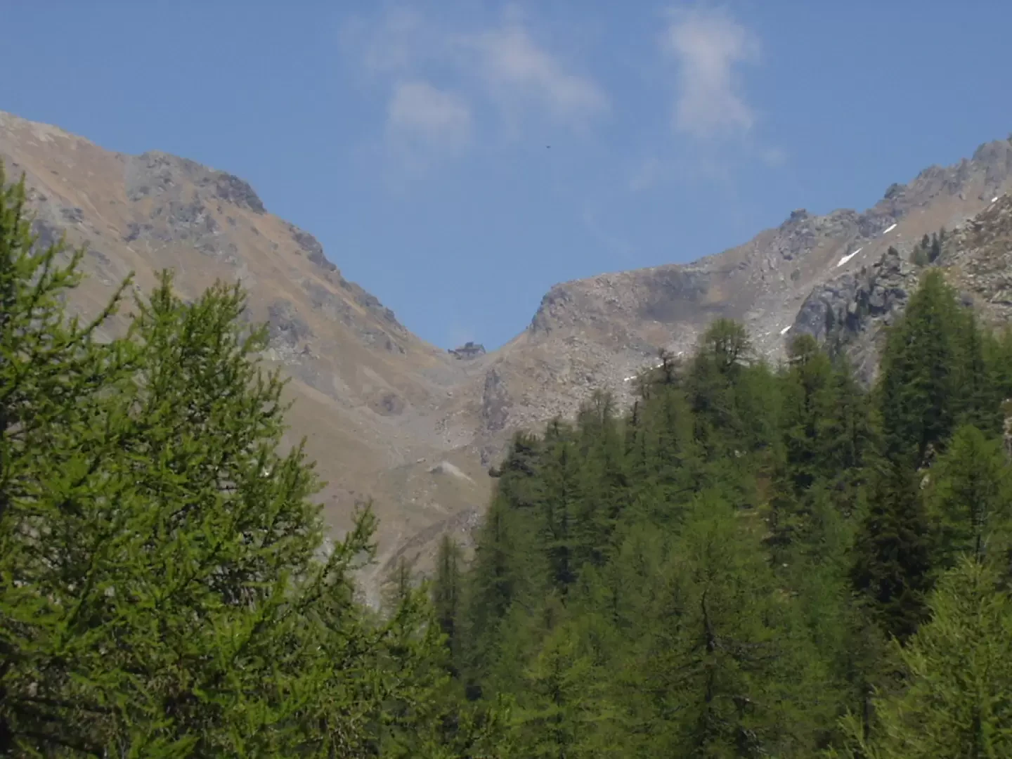
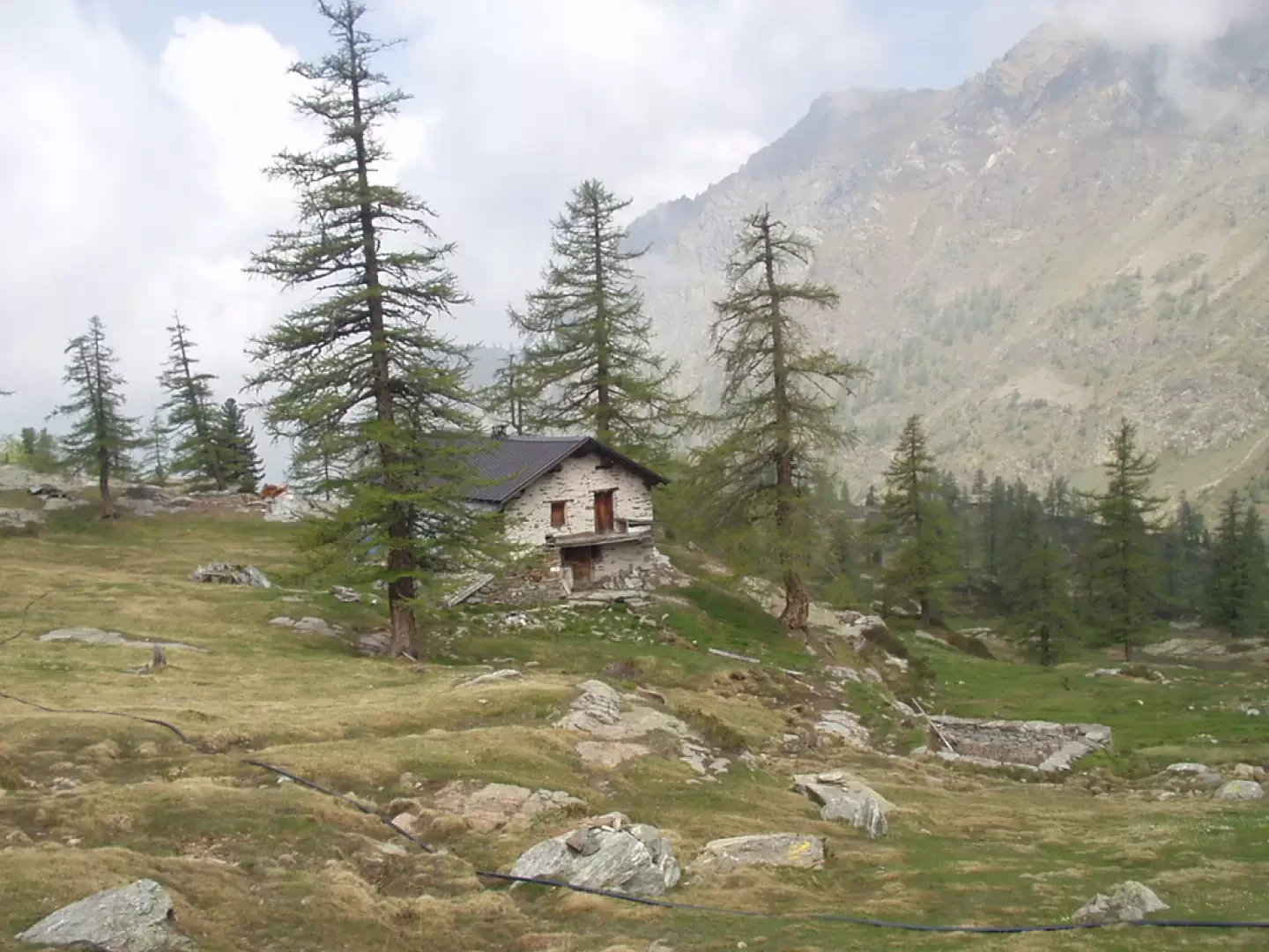
The Skearpie pastures, and the nearby Valle dei Principi, the destinations of this excursion, are set in an unspoilt environment on the western slopes of the Corno Rosso, locally known as the "Rot Horn", or Punta Carestia. The first section runs steeply through woodland, while the second runs along a gentle grassy ridge dotted with several wetlands, evidence of the existence of ancient ponds now covered by vegetation.
Description
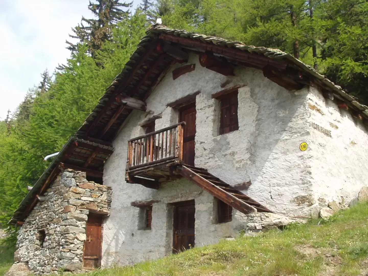
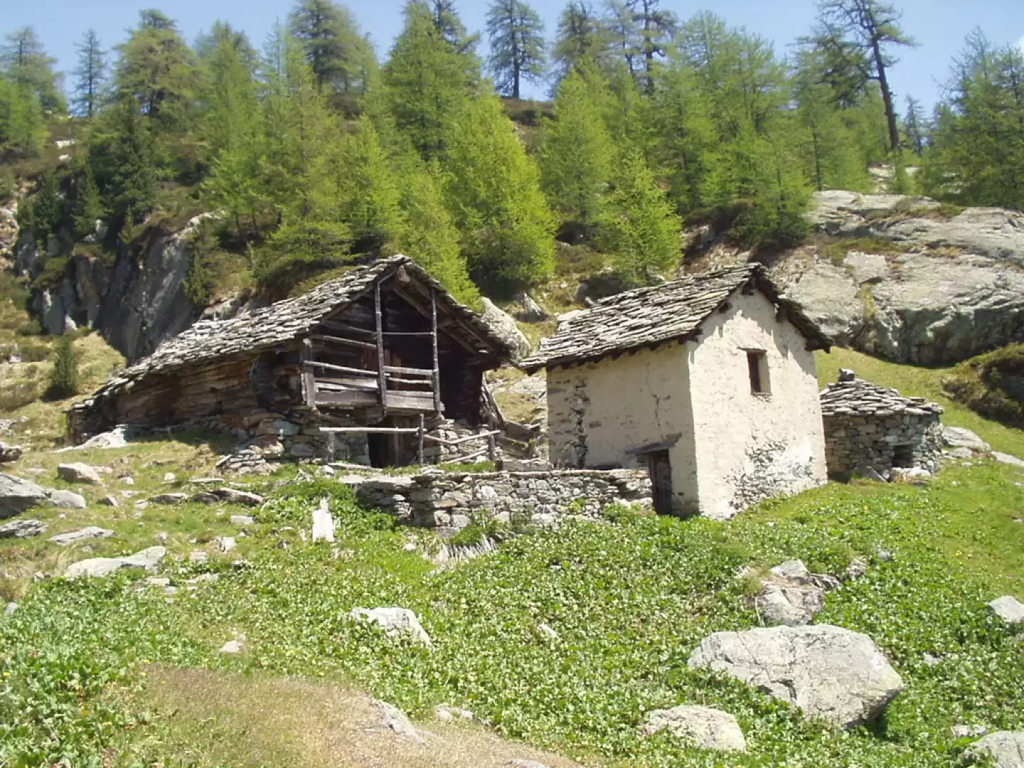
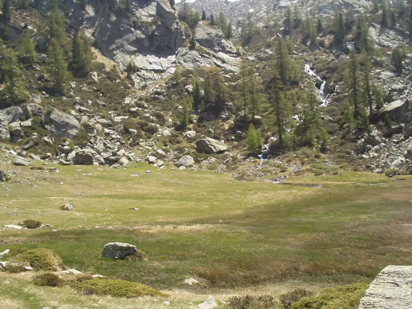
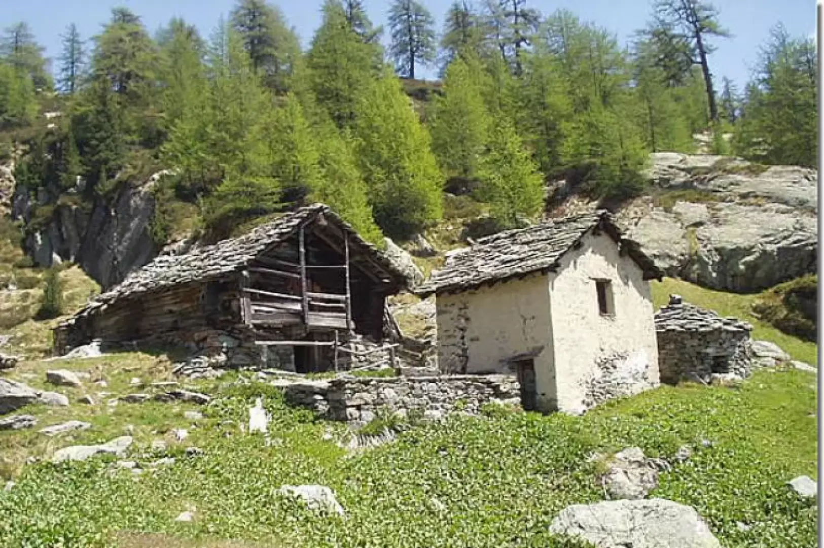
After crossing the bridge over the Lys torrent and reaching SR44, right almost at the front, the road begins (signpost (11) for Ospizio Sottile and Alpe Valdobbia, signpost (11B) for Rot Horn - Corno Rosso or Punta Carestia- and Skearpie) which crosses the village of Valdobbia (Verdebiô) (1327 m). Passing by a beautiful fountain with a wash-house, we cross an asphalt road and the signpost (14), Strada Lombarda or Lampertgass, near a votive pillar, near the "Customs Office", locally known as "Zoll Hus" from the German "Zollhaus". We start to ascend again along the fairly steep path, which turns into a forest of larch and fir trees. After walking for about twenty minutes, you come to the fork with the signpost (11B) for Skearpie. Neglecting the track to the left, marker (11A) for the Ospizio Sottile hut, climb to the right across a couple of scree slopes. The trail then bends to the left, keeping close to a stream until the junction with trail marker (11A) for the Hoberg Alps. To the left through woods and scree, climb up to Alpe Pozie (1867 m , 1h05') or Alpe Puzzie, locally known as "Putziealp". Having gone around the alpine pasture to the right, climb up to the left and, zigzagging between protective nets with a fine view of the Hobearg pastures, exit the wood on a grassy ridge, with a wide panorama of the Valdobbia pass and the Ospizio Sottile hut. Now continue on a moderate incline, leave a ruin on the left, reach a characteristic barn and climb up to the pastures of Alpe Skerpia di sotto (2065 m, 1h40'). Bending slightly to the left, climb up beside a stream to a modest fork from where the view opens out again to Colle Valdobbia and the Ospizio Sottile hut. Proceed on grass, among sparse and tall larch trees, past numerous wetlands to the Skearpie di Sopra mountain pasture (2147 m, 2h00'). It is now worth climbing the nearby ridge and descending to the bucolic glade of the Valle dei Principi (2160 m, 2h10'), lapped by a beautiful stream and nestled between the slopes of the Corno Rosso, locally known as the "Rot Horn", or Punta Carestia.
The descent itinerary is the same as that followed during the ascent: descend to Alpe Skerpia di sotto (2065 m, 0h30'), then to Alpe Puzzie (1867 m, 0h50') and descend through the woods to Valdobbia (Verdebiô) (1327 m, 1h45').
Galleria fotografica