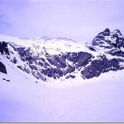
Adamé Valley
Access
VALSAVIORE - hamlet VALLE in the municipality of SAVIORE DELL'ADAMELLO - VALCAMONICA - (BS)
The starting point, on foot, to reach the Adamé Valley: La Rasega - locality in the hamlet of Valle in the municipality of Saviore dell'Adamello.
To reach the locality of "La Rasega", take the SS42 to CEDEGOLO and then turn right onto the for Fresine and Valle (the junction is located immediately after the bottleneck in the centre of Cedegolo; not to be confused with the second junction, for Cevo and Saviore, which is located further on, in the village of Demo).
You ride for about 10 km uphill (at Fresine continue straight ahead) and then, after the hamlet of Valle, continue along the valley on a conveniently level tarmac road for another 2 km or so until you come to a group of farmhouses and a sports field, where you can park, either immediately before the sports field or immediately afterwards.
Introduction
A "flexible" excursion in the sense that it should be considered complete and rewarding even if it is limited to the stretch up to the Lissone refuge. Reaching the Adamè valley vedretta requires good training and a good habit of walking with snowshoes on your feet. The walking times are indicative; if you pass first after a snowfall, the times indicated should be increased by at least 50%; in the presence of settled spring snow, it may be necessary to put on snowshoes even only on the return journey, in which case it takes considerably less time. From the hut onwards, given how little the valley is frequented, it should be considered that the route will normally be 'virgin'; moreover, given the high altitude, routes, even marked ones, will be cleared by the wind in a few days.
Description
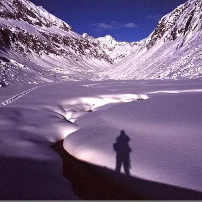
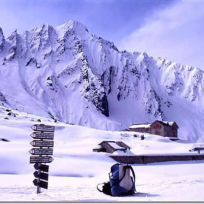
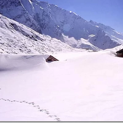
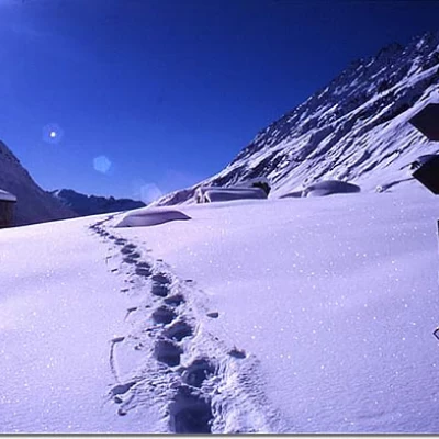
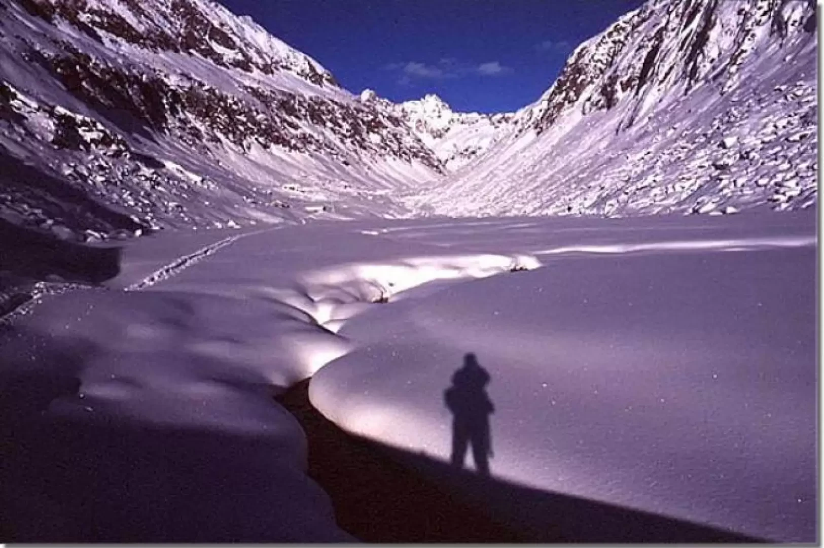
In the recommended period for the hike, snow can start immediately from the Rasega or later; snowshoes will be put on if necessary. Naturally, the hike should not be undertaken when there is danger of avalanches. From the Rasega, follow the road, which will not normally be cleared of snow; the initial section, after the first two hairpin bends, and the final section, after the Santella, can also be hiked on an alternative (poorly signposted) path. Initially, the path is on the left, passes close to the mountain and comes out on the road at the "Stella Alpina" hut (a pizzeria bar at "Le Crüste": it is a characteristic building with "näif" decorations and edelweiss embossed on the granite walls). We continue along the road again, passing by the "Le Crüste" malga; then we reach the "Morcc de Töle" locality, where there is a shrine commemorating a tragic event at the beginning of the 19th century: an avalanche ran over and killed a large group of very young people who were going "per isiga" (to gather grass - fescue) on the hillsides, even in very steep places, which was used as a substitute for hay to feed the cattle. Immediately upstream (visible by the protective fence now in place) there is evidence of a kiln for the manufacture of quicklime: the area is characterised by the presence of limestone rocks and is part of that belt that stretches from Concarena, through Colombé, and Lincino from the middle Valle Camonica to Baitone. This oven is still preserved intact as it was used even in relatively recent times (1940s, during the war). Continue in this way as far as the Lincino malga, where, at the hairpin bend near the huts, you leave the road to continue to the right along the signposted path known as the "müla"; in about an hour and a half, you arrive at the top of the glacial step, where a level path intersects. Immediately after the junction with the uphill path, going to the right, there is a memorial stone in memory of four young men who were victims of an avalanche on the Castellaccio gully; a little further on we are in Adamé, here are the hydraulic catchment works and the Lissone refuge. We continue on the path, leaving the stream on our right, we are now on path , up to the malga it is practically flat, then it climbs to overcome a slight glacial step. After the first step, a second one follows, then we come to a new flat area, this time much more extensive. At this point, the Baita Adamè hut is visible at the bottom, where the valley bends to our left. You can see, to the left, the two "casine di mezzo" and to the right the Baita Adamè of CAI Cedegolo. Having reached the Adamè hut, we choose to follow path and then move to the orographic left of the valley, across the small bridge which is located shortly after the hut. After the bridge, we continue along the valley, on the orographic left bank; we pass the junction for the Porta Buciaga pass, which is just above the little bridge, on our right; we pass near the Mario Nolaschi shrine, then in front of the "Qual del Manzuler", where there is, (on the orographic right of the torrent) the junction for the Poia pass (path ) and path begins; we climb the glacial step and then cross, always keeping to the orographic left, the entire alluvial plain. At this point, the head of the Adamé valley appears to us in all its grandeur! In this area, the two paths, the and the c come close together, so going from one to the other is easy, just cross the stream. You can then return, as far as the Adamé hut, on the opposite bank to the outward journey.
Galleria fotografica
Mappe


