Val dal Saent, from Lughina

Edited by:
Marco Bonati
Introduction
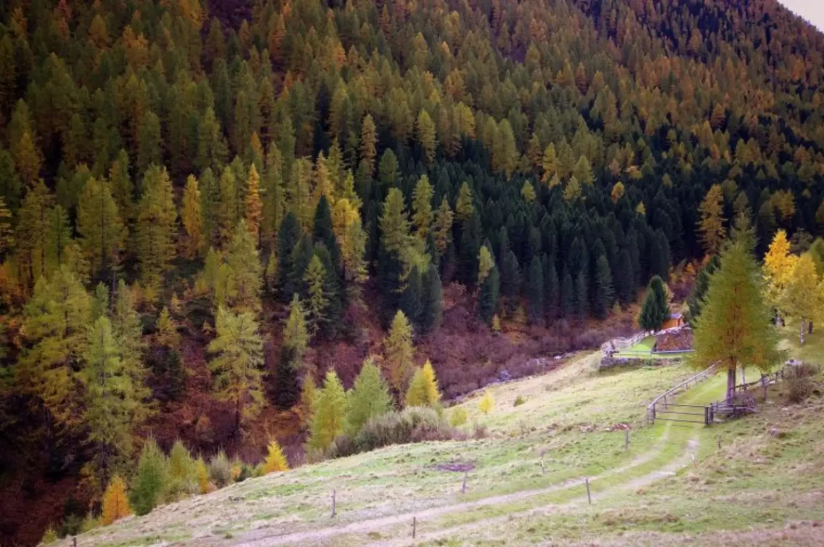
A very easy hike of environmental and historical interest. The locality of Lughina, the point of arrival by car, was a dominant strategic site for controlling the border at the time of the First World War and the entire small plateau was fortified (barracks with barracks, emplacements in squares and in tunnels, trenches...) and entrusted to the troops of the Regia Guardia di Finanza. The transfer to Swiss territory then allows you to cross marvellous larch and black pine forests extending over hundreds of hectares to the base of the dominant Piz Combul (Monte Combolo IGM).
Description
From the parking area, it is only a few steps up to Lughina 1468m: to the left is a short tunnel and above it the ruins of the Guardia di Finanza barracks; soon after, you come out into a beautiful clearing with a few huts and a small artificial lake that is well inserted into the environment. The border line is not clearly distinguishable (only one old boundary stone), but the two easternmost huts are already Swiss. A Swiss excursion sign points to an attractive north-facing path: a long flat stretch through the fir forest, with extensive clumps of moss covering every stone, precedes a sharp descent that joins a forest track. Going uphill to the left, in a few dozen metres you reach the few huts of Piana 1215m (a remarkable example of a "tegia", a kind of milk shed with a domed roof made of dry stone, typical of the Tyrolean-Poschiavina area). Continuing uphill along the cart track, you cross the Val da Saent stream at Rossat 1489m. On the other side, a short, very steep path (initially marshy) leads to a nice dirt track from the scattered village of Cavaione. Following the clear signposts, follow the track for a long time until the forest gives way to the lower pastures of Anzana: you are at Pescia Bassa 1832m (farmstead with stable and the restored Mafisciöi hut). The road continues a little narrower and, after a few hairpin bends, back into the forest, reaches Pescia Alta 2055m, where a hut has been restored as a refuge (Rifugio Anzana). The spectacle of the mixed coniferous forest that covers the slope of the Val da Saent between Lughina and the Dos da Salarsa is magnificent, especially in autumn.
Return along the outward route.