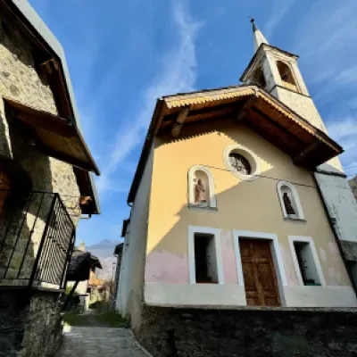
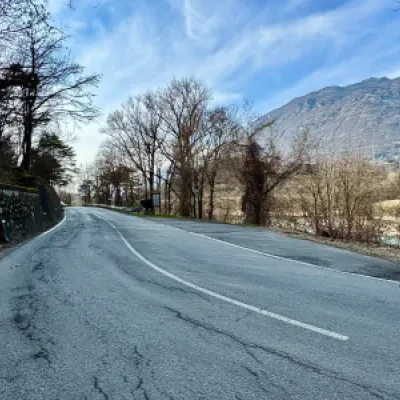
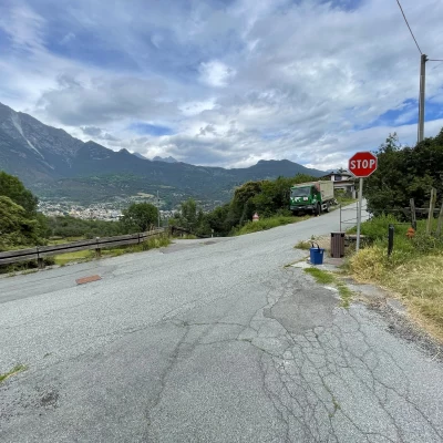
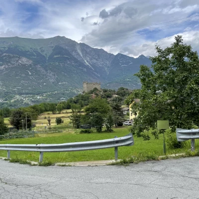
Ussel, from the car park on the SR10
Access
From the motorway junction exit at Châtillon, turn left along Via E. Chanoux for about a hundred metres before turning left onto Regional Road for Pontey. Follow the road downhill, passing two roundabouts and the railway station itself, before passing under the railway and ignoring the turnoff for Ussel. Cross the Dora Baltea and turn right in the direction of Pontey: a few metres on the right is a clearing where you can leave your car.
[0h04'] - [1.9km]
How to get there with GMaps
How to get there with Apple Maps
The information provided here has been verified as of the date of the survey of the route. Before setting off, it is advisable to ensure that no substantial changes have occurred on the route to the starting point. We therefore recommend the use of the satellite navigation apps provided by Google or Apple for up-to-date and detailed directions.
Introduction
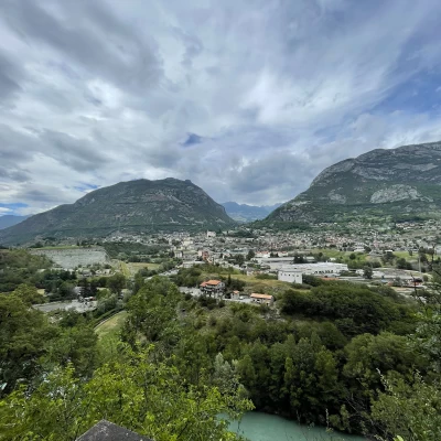
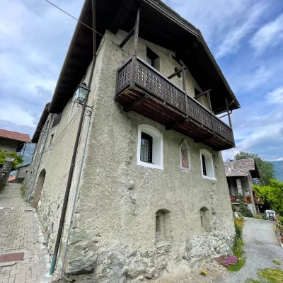
Ussel is a small village perched on a promontory of glacial origin located in front of the towns of Châtillon and Saint-Vincent. The pretty village is often overlooked due to the presence of the better-known monobloc castle from the Middle Ages. It deserves a visit at a leisurely pace following one of the various access routes. Here we describe the route starting from the regional road along the beautiful mule track that rises above the Dora Baltea.
Description
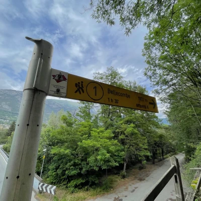
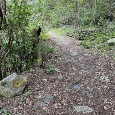
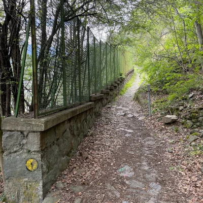
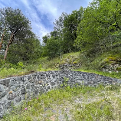
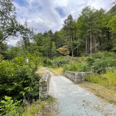
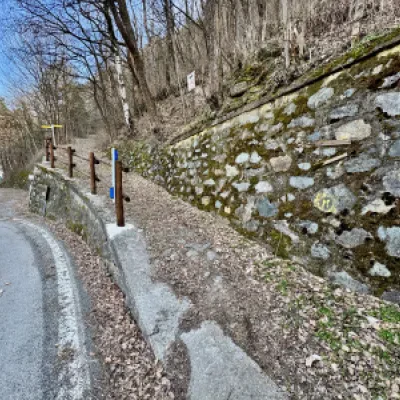
0h00' 0.00km Cross the regional road to reach the beginning of the path. Take the path and after a few metres, you will come to a fork in the path: go straight on following the signs for the path to Bellecombe. Take the wide mule track to Bellecombe, signposted , which climbs up the wooded slope at a pleasant angle. You cross a small bridge and exit the forest, and for a stretch the view is obstructed by a green grid. The path makes a couple of short hairpin bends until it joins the track that leads to Ussel.
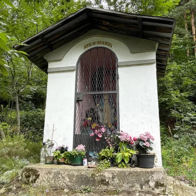
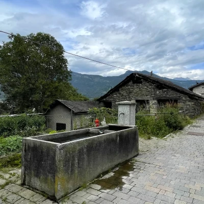
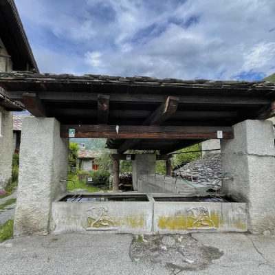
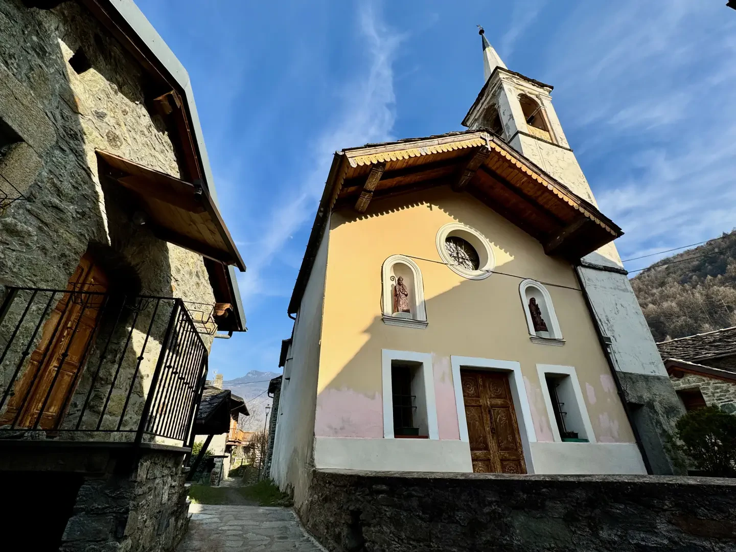
0h25' 0.83km Turn left and go past the Torrent de Pessey and, after passing a votive shrine (592m), ignore the path to Bellecombe that branches off to the right and continue straight on until it meets the tarmac road. At a fork, keep to the right and walk between the hamlets of Taxard where you will come across a fountain💧. Follow the almost flat lane until it joins the municipal road to Bellecombe. Follow the road to the right and after a couple of bends in the village, you will reach a nice fountain 💧 with a wash house: turn left and walk along a little path between the hamlets until you reach the pretty chapel dedicated to Saint-Roch (602m) 0h35' 1.35km .
The return is along the same route as on the outward journey 0h20' 1.5km .
Punti di interesse
- Taxard
- Ussel
- Cappella di San Rocco a Ussel
- Châtillon
