Tsaplana, from Gimillan
Access
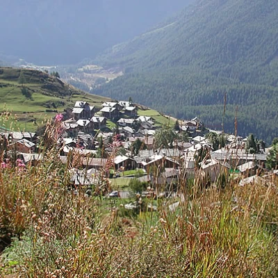
At the motorway exit of Aosta Ovest, turn right in the direction of Cogne, taking regional road 47. Go past the village of Aymavilles and up the valley, passing through the villages of Epinel and Crétaz until you reach a roundabout just before the main town of Cogne (20.5 km). Turn left following the signs for Lillaz and you will soon reach a second roundabout: turn left up the road to Montroz and Gimillan until you reach the latter. Park your car in a large car park before the village, then proceed on foot to a fountain, follow the road briefly until you come to a shelter with signs.
Introduction
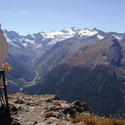
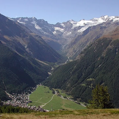
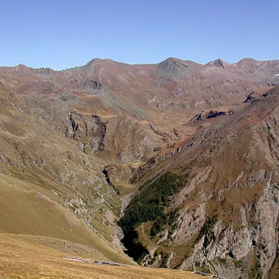
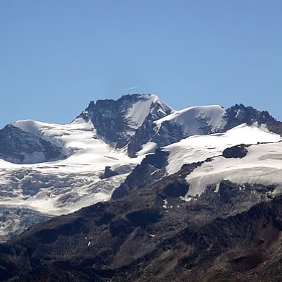
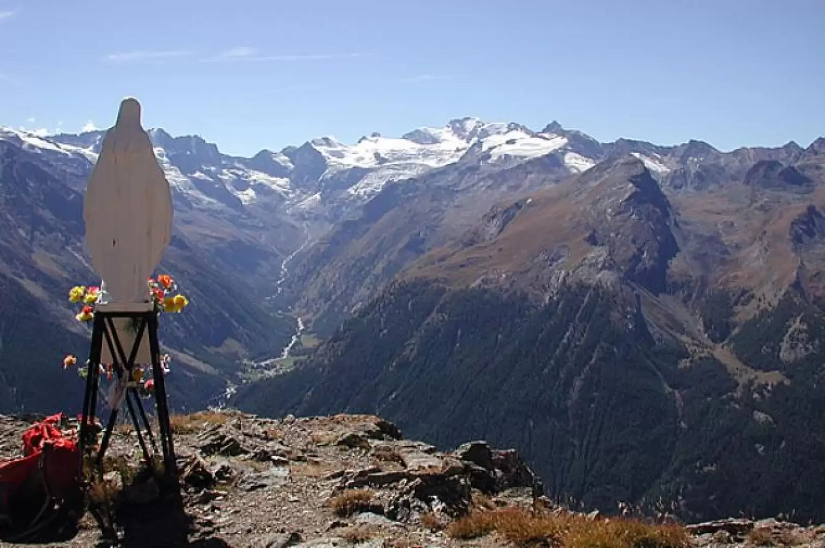
This itinerary is very easy, traversing a beautiful larch forest and then wide meadowy slopes, on a path that is never steep until the final climb. From the peak, where there is a white Madonnina visible as far as Cogne, the panorama sweeps over Valeille, Valnontey and the Gran Paradiso group as far as the Grivola and Gran Nomenon, while to the east you can see the Grauson valley, with the Tersiva and what remains of the Tessonet glacier, the Punta di Leppe, the San Marcel pass and the lower and upper Grauson pastures. Beware of vipers! We have seen no less than two, and other hikers also confirm that they have encountered them. There is no water on the entire route.
Description
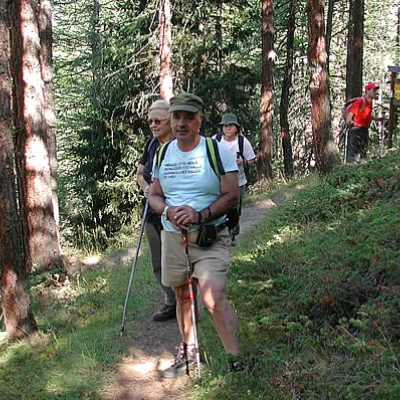
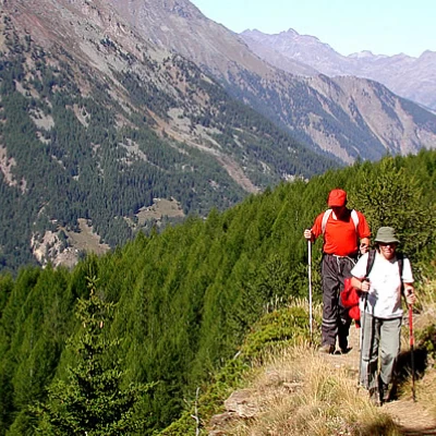
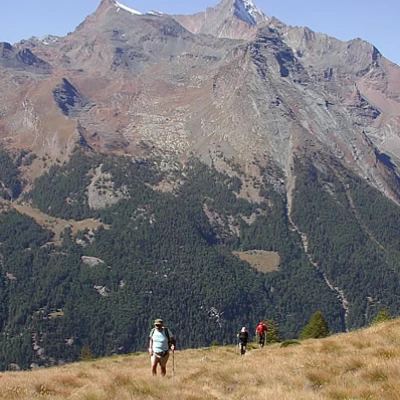
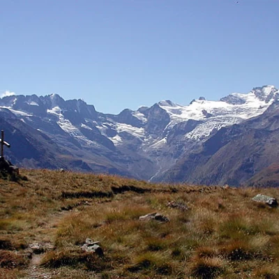
At the car park there is a board indicating the paths; ours is the , but up to the fork for the Tzaplana, which is well signposted, the itinerary is common with the path , which leads into the Arpisson valley, so at the beginning of the route follow this path quietly. After leaving the car, climb up the steep asphalt road, which then becomes a dirt track, between pastures supported by a few low walls; on the left, after a few hairpin bends, on a stone on the ground, is the start of the path, which heads north towards the beautiful larch forest. We cross the wood, climbing gently northwards, walking on a soft carpet of needles until we reach a very evident fork, with new signs: the path continues northwards through the Arpisson valley, we make a sharp turn southwards, following the . The path winds its way through the beautiful larch wood, crosses a rivulet and leads to a ledge overlooking Cogne. We are at an altitude of 2180 metres. At this point, the path continues in twists and turns, never steep; on the left, the Mont Blanc group appears, then we move towards the Grauson valley; the pastures are splendid, but there are neither herds nor flocks grazing. You meet a first ruin, then move eastwards again and arrive at a wooden cross, opposite a sadly abandoned alpine pasture, altitude 2399 m.
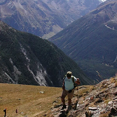
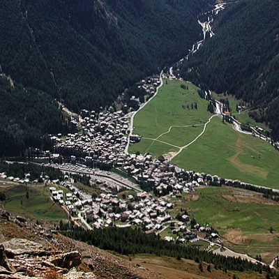
The route continues eastwards again, and the Tersiva, the Punta di Leppe, the Col de San Marcel, the upper and lower Grauson pastures appear. With a series of tight turns and a steeper route at this point, climb up towards the peak, go around the avalanche barriers on the left and in a short time you are at the Madonnina, and Cogne is a jigsaw puzzle of many small grey bricks further down, in front of the green meadow of Sant'Orso.
Return along the same route as the ascent (1h30').
General information
Signposts: 3A
Type of route: a/r
Recommended period: May, June, July, August, September, October
Exposure to the sun:south
Objective Danger:none
Exposed Tracts:none
Useful Equipment:normal hiking equipment
Water: Gimiliia
