Truc de Tsantelèina, from Thumel
Introduction
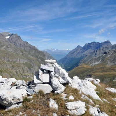
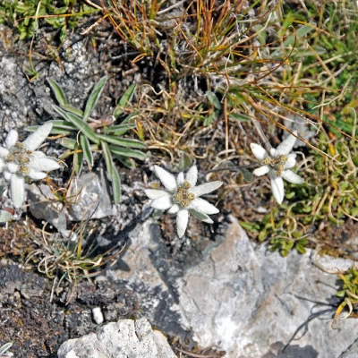
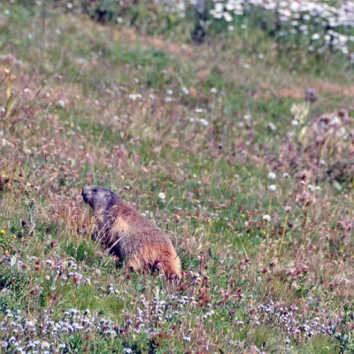
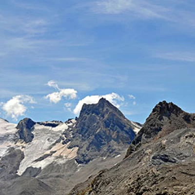
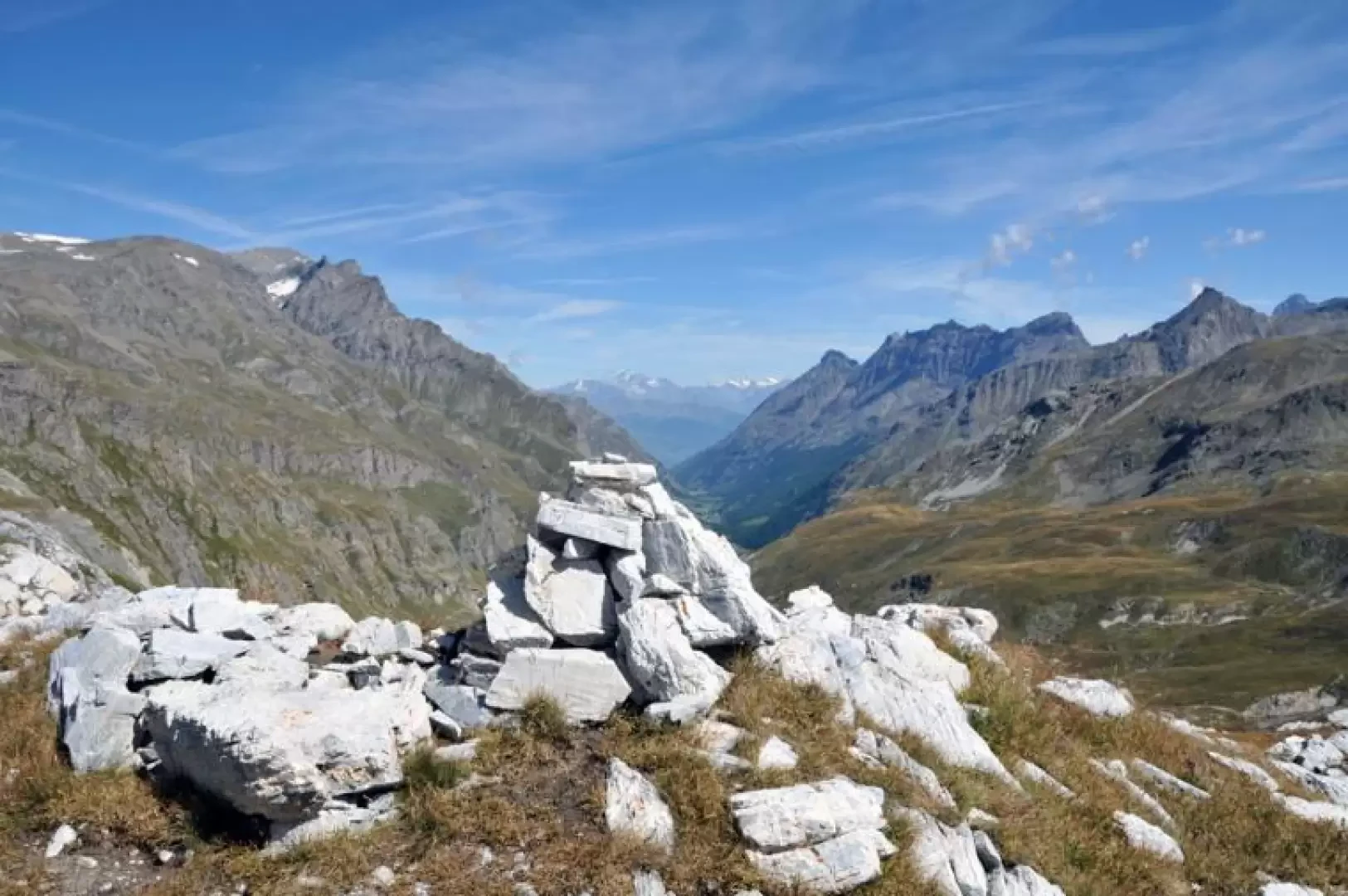
This excursion is a ring-route that, once it reaches the Benevolo refuge, starts from and returns to it and reaches a privileged point to enjoy not only the close-up view of the Granta Parei, but also a worthy close-up panorama that, to the west, goes from the Punta Basei to the Tsantelèina, while on the opposite side you can see the entire Rhêmes valley with the Grande Traversière to the left and the Bioula and Cima di Entrelor to the right. During the tour, you pass through terrain where marmots are at home and it is easy to see many of them; on the grassy ridge of the summit, on the other hand, there are many edelweisses.
Description
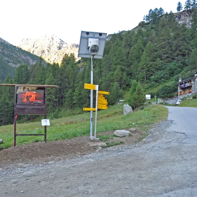
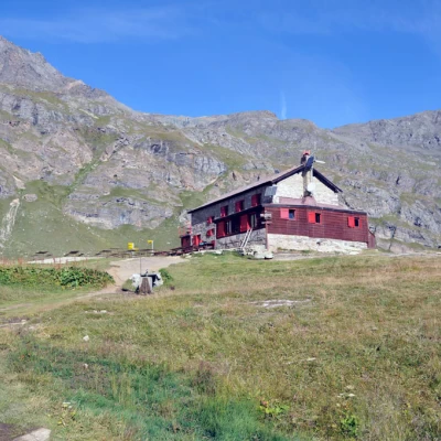
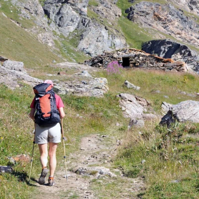
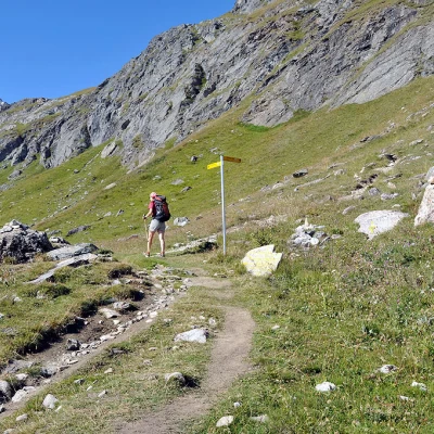
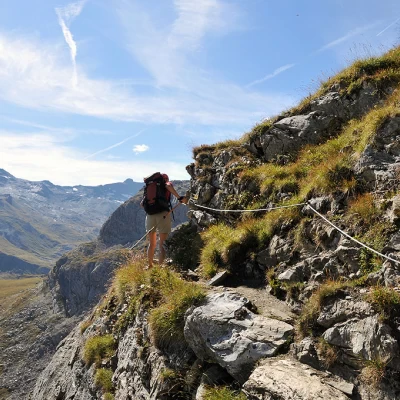
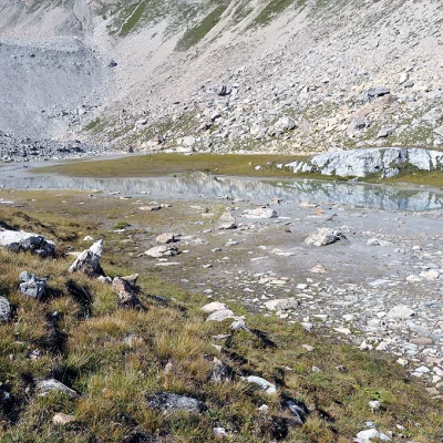
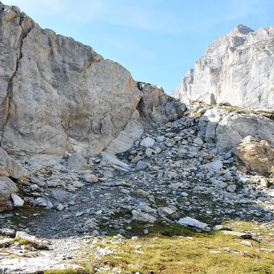
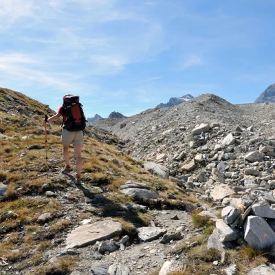
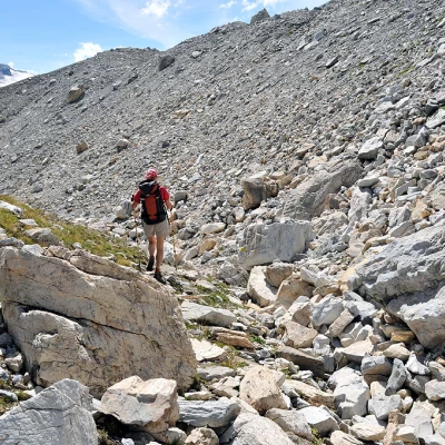
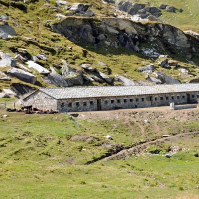
From the car park, continue along the road until you find the signposts on the left at the start of the itinerary. Climb up following the signs for the Benevolo refuge, passing by a small votive chapel and immediately after a park ranger's hut. The path continues on a false level, skirting the orographic left bank of the Dora di Rhêmes, then descends a little to cross a stream and ascends again thanks to a concrete ladder to pass over the terraced crags of the valley. Without an excessive gradient, it passes some recent water works and reaches the dirt road coming from the bottom of the valley; climb it to the left, pass in front of a high waterfall and, near a bend, turn right onto a path that cuts, with a steeper gradient, some hairpin bends in the road: now you can see above a rocky promontory the hut and further down the imposing Granta Parei. After rejoining the road and taking another shortcut, climb up the path to the last meadows before the Benevolo hut. To the left of this is a signpost indicating that we should continue towards a rocky hump where the path, descending slightly, crosses a small bridge and leads towards the ruined Sauches mountain pasture (2313 m). From here, the trail heads halfway up the mountain spurs and arrives at a crossroads marked by a post where you must continue straight on, following the signpost for Col de Tsantelèina. Walk slightly uphill and, after a long traverse, you reach a short section equipped with a steel cable that encircles a small rocky promontory; continue for a little further on grassy terrain and you reach a small basin where you will find what remains of Lac Granta Parei, now unfortunately destined to become a peat bog. Head towards a low rampart of white rocks, which you pass with a short steep stretch to the right and, just when the path ceases to be a path and becomes a track on the moraine, a barely visible track branches off to the left, climbing up a short grassy ridge at the summit of which is the panoramic summit cairn.
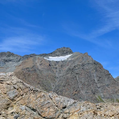
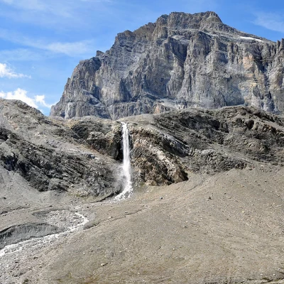
For the descent, return to the base of the ridge where the moraine begins and along an obvious track turn left and continue, following a few yellow marks, to the bottom of the notch between the Truc and the moraine. The path continues southwards and, after a short steep descent, goes slightly downhill halfway over a stony area at the bottom of which a spectacular waterfall descends from a high rampart, coming from the melt waters of the Tsantelèina glacier. You will then reach a stream at the bottom of the valley and turn left at the crossroads without crossing it; walk over green pastures until you can see the hut in the distance: descend until you pass the Fond mountain pasture not far away and then, continuing along a farm road, you will soon reach the hut and from here, along the uphill itinerary, return to the car park.
