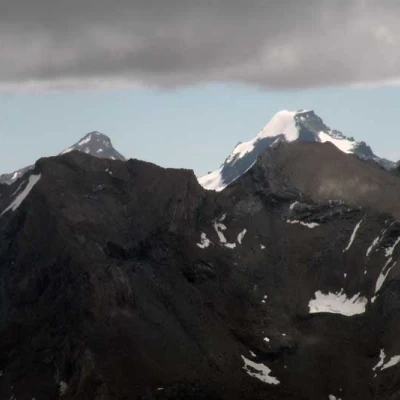
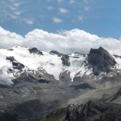
Truc Blanc, from Thumel
Access
Take the A-5 Turin-Aosta motorway and pass the Aosta East toll booth to exit at the next Aosta West toll booth; head towards Aosta and at the traffic lights turn left towards Courmayeur. Beyond the village of Villeneuve, on the right is the junction for the Rhȇmes Notre Dame valley, the main town of which can be reached after ascending the valley; having passed the main town, continue for a few more kilometres and you will reach the village of Thumel where you can leave your car in the large car park
.Introduction
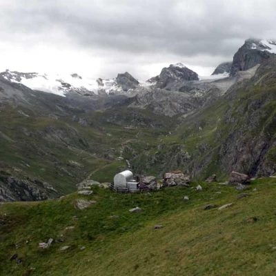
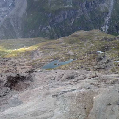
This is a long hike with a difference in altitude which, given the numerous ups and downs, becomes elevated and which runs along the steep but panoramic slopes on the right-hand side of the upper valley of Rhȇmes Notre Dame, passing from the gentle pastures of the valley floor to the crossing of large scree slopes and moraines which characterise the suggestive high mountain environments. The approach to the final part is made on a well-marked path which, interspersing steep climbs with traverses along the side, offers splendid panoramic views of the peaks and glaciers of the upper valley; then, with a sudden change of scenery, one has to face impervious high altitude terrain where the possible presence of fog can create some orientation problems. The position of the Forestry Corps' bivouac is beautiful, offering an exceptional panorama of the upper valley, as is the suggestive and unexpected view of the large Truc Blanc Lake, which is solitary and set in an extensive stony basin. Considering, as already mentioned, the high altitude difference and the total length of the hike, which is approximately 18 km, the excursion is recommended for hikers who are well trained and accustomed to navigating high mountain trails.
Description
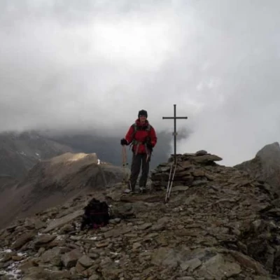
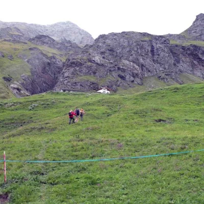
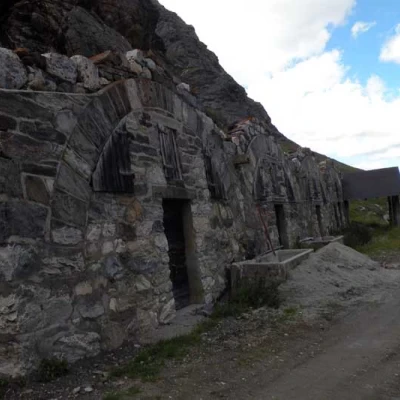
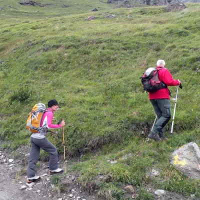
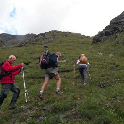
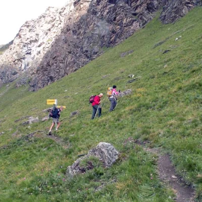
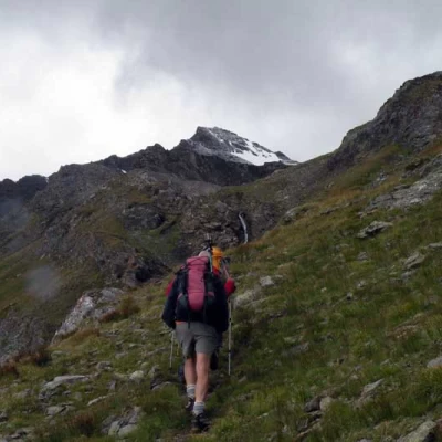
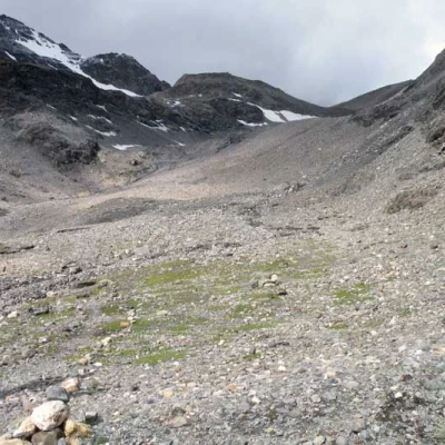
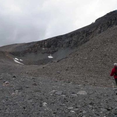
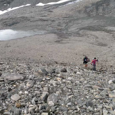
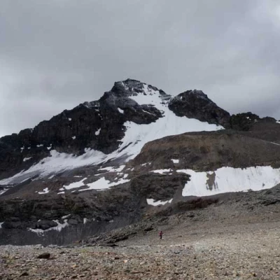
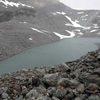
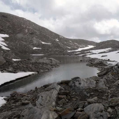
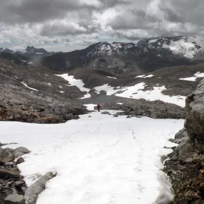
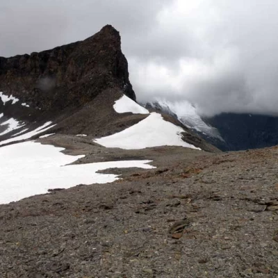
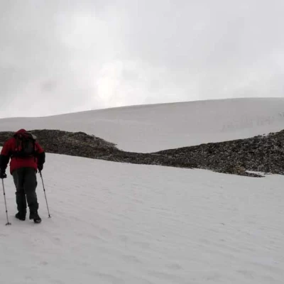
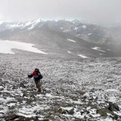
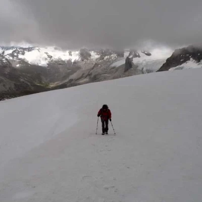
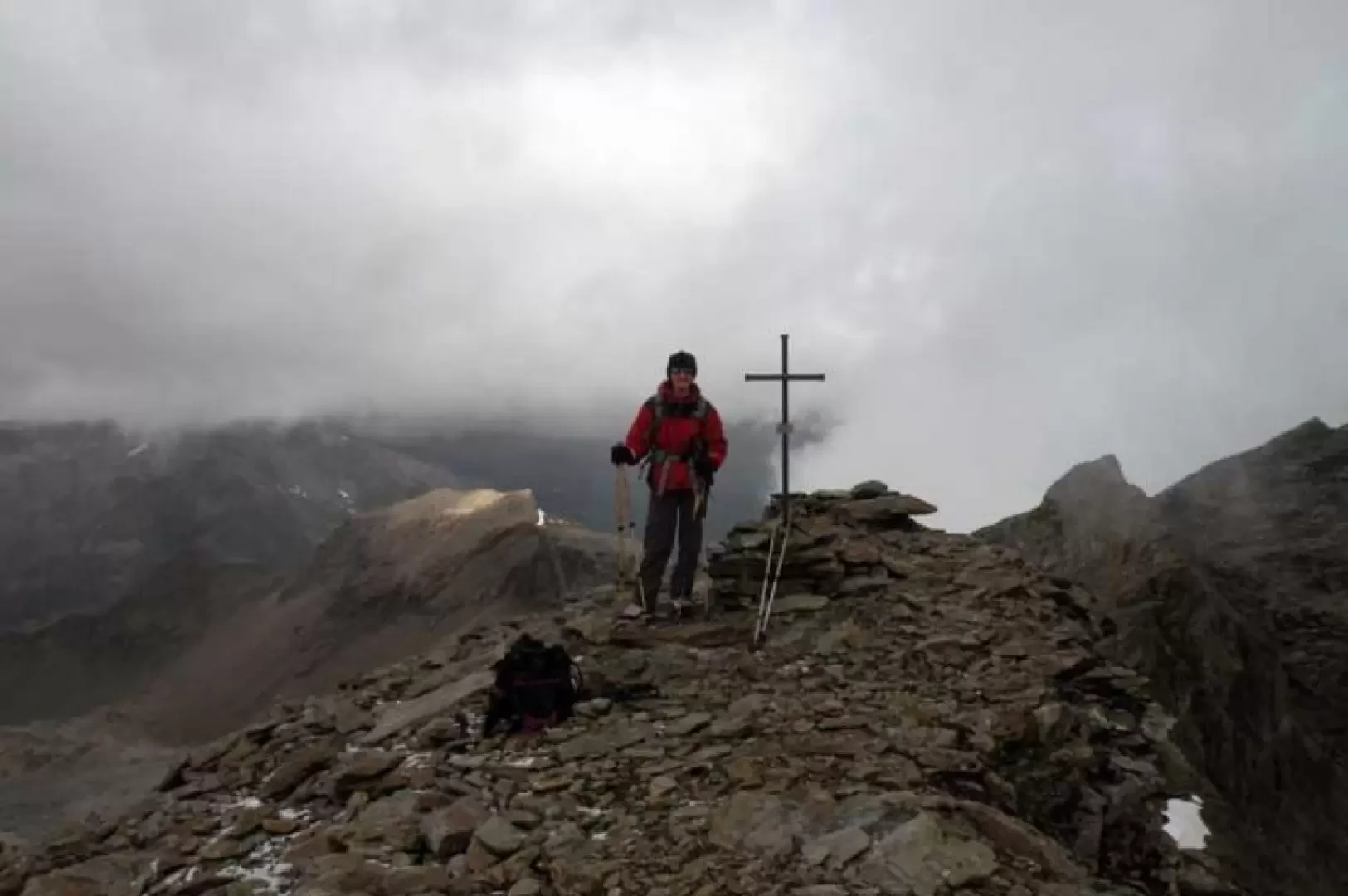
Description From the car park, continue along the tarmac road until you reach a hut at the end of it on the right from which, at the posts located on the left, you climb up the evident path that starts from them, arriving in a few minutes at a stone hut. Continuing along the easy path, you come to a track in the grass (1981 m) that rises in the direction of an obvious barn; going up the pastureland, you cross the farmstead a couple of times, cutting the hairpin bends until you come to the ruins of a barn with a vaulted roof (2100 m), at the hairpin bend of which you continue along the farmstead. After a few tens of metres, you will find a fork in the road on the right, marked by yellow markers (2109 m). At this point, turn off and begin the fairly direct ascent of the steep grassy slopes above and then, bending sharply to the left, begin a panoramic traverse that follows rises and falls caused by a few streams and waterfalls. This brings you to a panoramic Forestry Corps bivouac, which you do not touch but, a few metres before it, you keep to the right at a fork in the path that reaches the nearby signposts (2442 m); here you turn right and, after a short ascent, the path traverses to the left and then, turning to the right, climbs up the steep grassy slopes with numerous hairpin bends, passing between low rises and small promontories. After a sharp bend, which surrounds a low promontory, there is a sudden change of environment, entering the wide moraine valley of Col Bassac, dominated on the left by the Grande Traversiere, where the slope softens and you follow the tracks and cairns on the path, which continues in its centre. You arrive at a small plateau where there is a small lake that you leave to the left and here you leave the path to climb up a steep but low scree slope that is on the right (3011 m); on shifting stones and slippery terrain you reach its summit where there is a plateau of scree and, keeping to the right, head towards a low moraine that contours, again on the right, arriving above the large Truc Blanc lake. We cross it, traversing halfway up the slope, remaining high on the scree and then slightly losing altitude to arrive on the shores of another smaller lake (3160 m), which lies at the base of a wide rampart of slightly inclined rocks. Cross the estuary and continue to the left, climbing obliquely back up the shallowly sloping rocks on the rampart. This section is less tiring if you manage to take advantage of some residual snowfields; once at the top, climb a short but somewhat steep slope to the right that leads to the Col du Truc Blanc, which you pass, without reaching it, leaving it to the left and separating the Truc Blanc and the spire of the Punta Bassac Nord. From this point, go up a slope of small scree, or snowfields, to the right, heading towards the front of the small Truc Blanc glacier, which you leave to the right and continue up a slope which arrives close to a slightly pronounced peak from where you can see the true summit; now, continuing to the right, you set foot on the upper part of the glacier and with a small semicircle to the right you reach the short final slope which leads to the panoramic summit cross.
