Lower Grigne traverse


Edited by:
Rita Tarussello
Updated at: 03/09/2024
Introduction
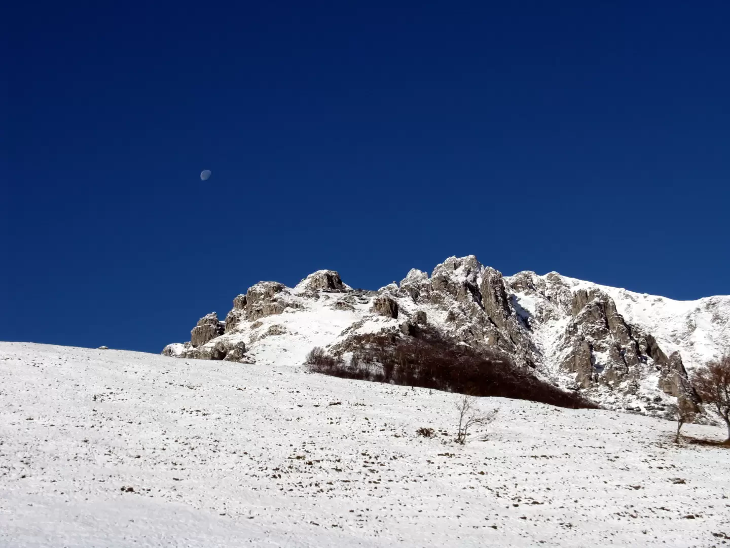
It is quite common to call the path between the Piani Resinelli and the Pialeral the "Traversata Bassa". The entire route, which connects the eastern slope of the Southern Grigna with that of the Northern Grigna, continues to the Riva refuge. This is a very interesting route, to be taken in spring or autumn, both for the rather low altitude and for the photographic cues that the middle seasons offer.
Description
From the Resinelli square, turn right uphill on the tarmac road that leads, in about ten minutes, to the Soldanella refuge (ex SEM refuge, 1349m). Continue on the wide dirt road slightly downhill between birch trees, larches and a few holiday homes. To the left, the Canalone Porta is visible. Shortly after, at an open space, the road turns right and reaches Alpe Cassino (1359m). Continue on a slightly uphill cart track to reach the Selletta di Cassino (1371m) and immediately afterwards, a little further down, the Selletta di Muscera (1355m) from which the Alpe of the same name is visible below. A path marked by a pole branches off to the left above Alpe Munscera and enters the beech woodland where, further on, it crosses the Chignoli valley, arriving at the farmstead of the same name (1339 m) between pastures and stretches of woodland. The path now becomes more rocky and, after passing a few small gullies, crosses a large scree area called "Il Gerone" (m 1285).
We climb up the opposite side with an up and down path to Sasso dell'Acqua (m 1202). We continue on an undulating path mainly downhill to the Cascina Vecchia and on the left, again uphill, the path leads to the Pioverna stream (m 1050), the lowest point of the entire traverse.
Between the stones we ford the stream and climb up the wood along its left bank. The route is now mainly uphill and somewhat steep in places. At a fork in the path, turn left steeply uphill towards the Costa Reor to the end of the forest. The trail turns right and goes up to Alpe Cova (1301 m) with a small lake next to a farmhouse.
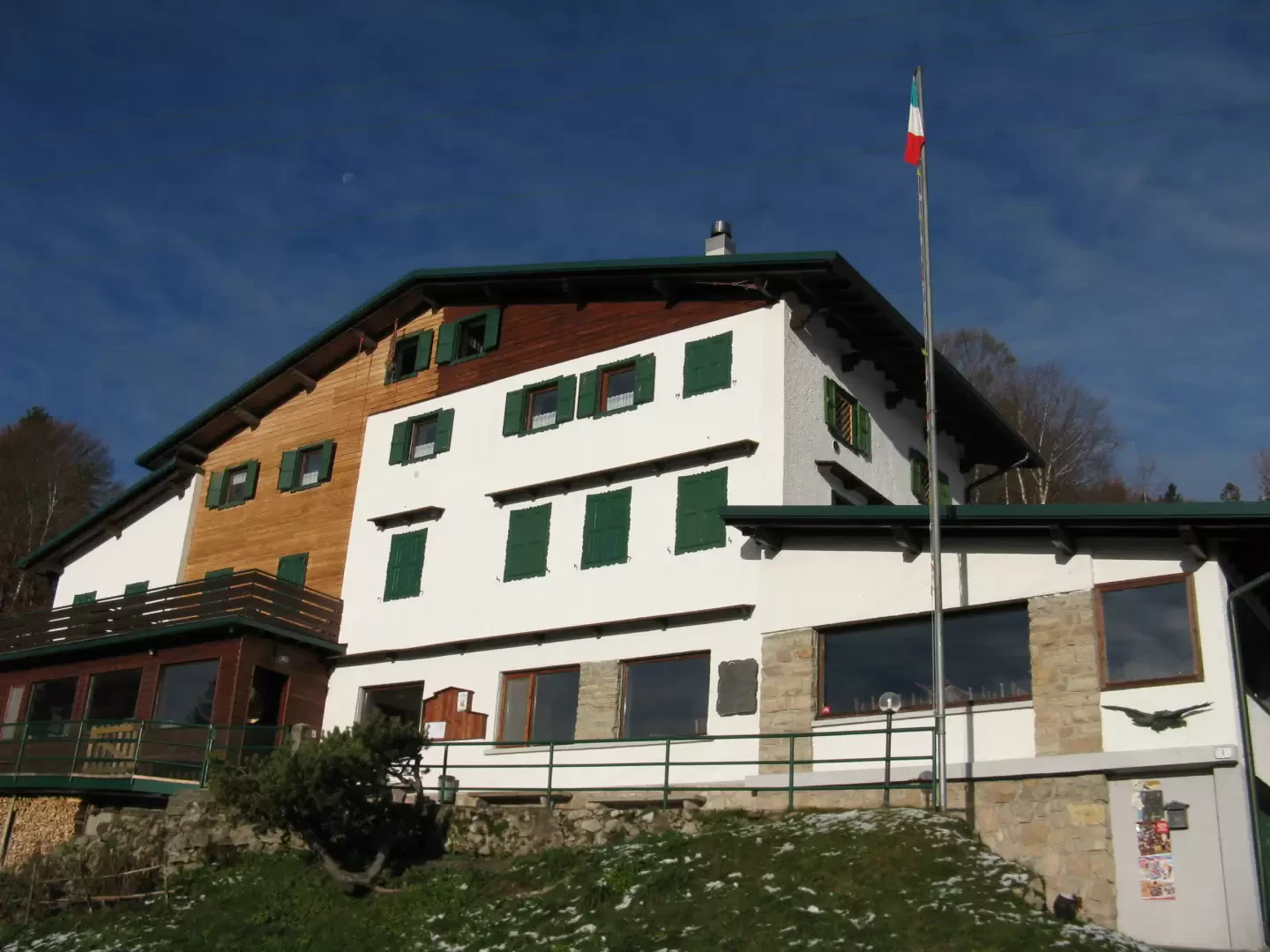
We now turn sharply left on a steep ascent on a concrete road and after a few minutes we reach the Antonietta hut (formerly Pialeral - 1390 m). A little further on, still on an uphill path, you come to a fork with a signpost for the various routes. Continuing straight on the main path, you will reach the summit of the Grigna Settentrionale by the normal route, turning right to continue along the Traversata Bassa and the Riva hut. Up to this point h 2:30.
To the right (signs painted on the stones) the path becomes flat and enters slightly downhill into the forest from which it soon exits upstream of the Pertusio Alp and then along other huts to a fork. Turn right and then left to cross a series of canals: the Cugnol Larg, the Cugnol Strecc and the Val Cava. Now the path, with small ups and downs, leads to the huts of Prabello di Sotto, from which, with a decided climb, it joins the summer path near Prabello di Sopra. Continue along the ridge until you come around the ridge and arrive at the church of San Calimero (1493 m).
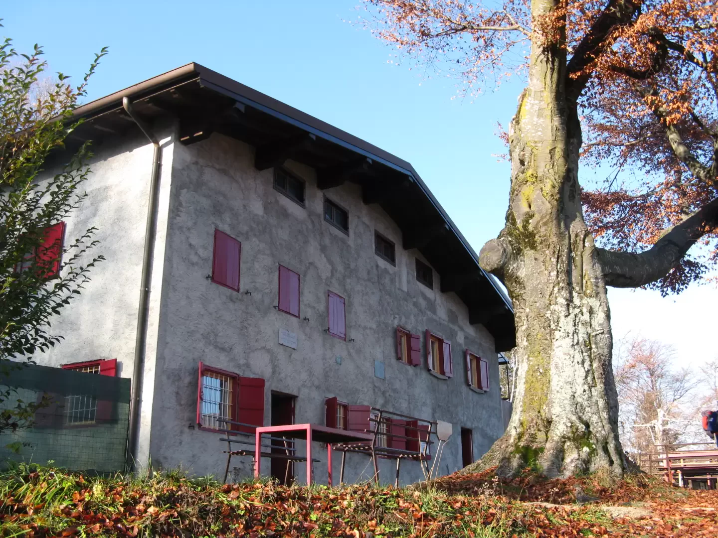
On the terrace where the church stands you will find signposts for the Traversata Bassa and the signpost for the Rifugio Riva, an hour's walk away.
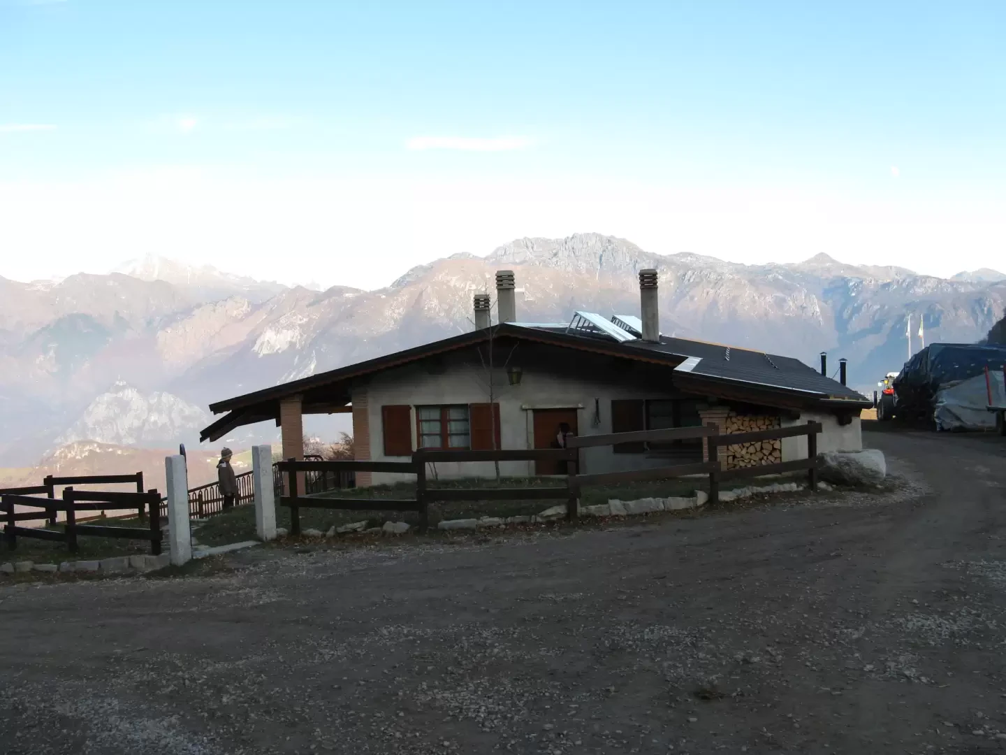
Follow the path that enters the woods as far as Porè, cross the Rampin canal after which you arrive above the Cascina Fiuia. Turn right and, at a crossroads, turn left to the Cascina Piancabella (m 1098). The route crosses the Piattè valley and leads, after reaching Baita Ambrogina, to the Riva refuge (m 1021). Total time 3:30.
Photo gallery
Comments (0)
Sign in to leave a comment