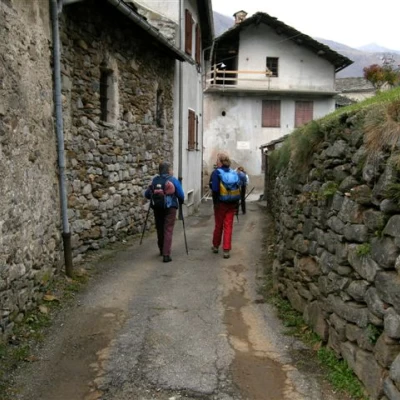
Sentiero delle Anime, from Traversella
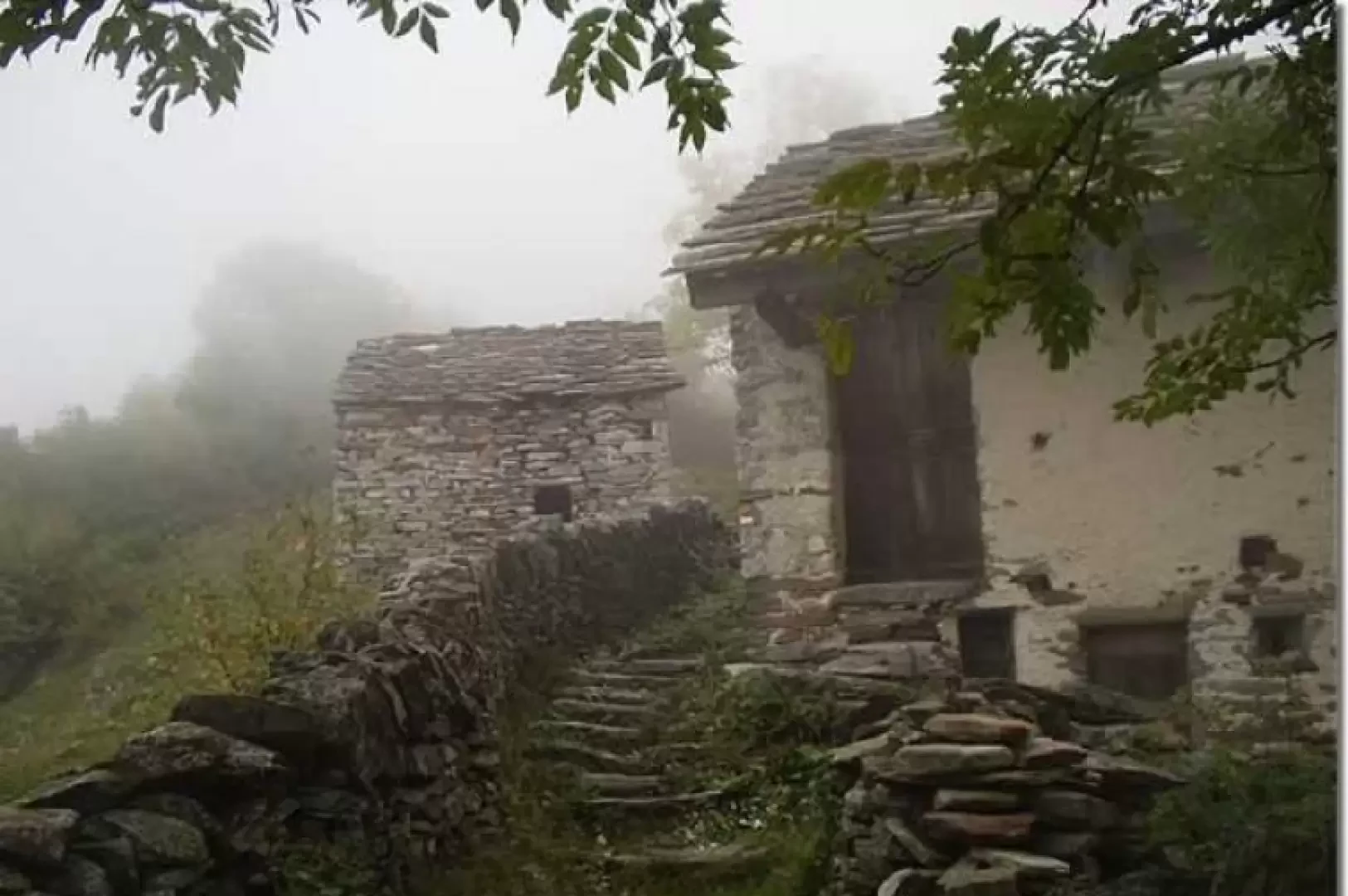
Access
From the motorway exit at Ivrea, take the Pedemontana, the main road, towards Castellamonte / Cuorgnè / Valchiusella. About 6 km from the motorway toll booth, turn right onto provincial road and, 300 metres later, left onto , in the direction of Valchiusella / Traversella. You will reach Traversella after approximately 18 km. Before the village, turn right towards the car park of the mines.
.Introduction
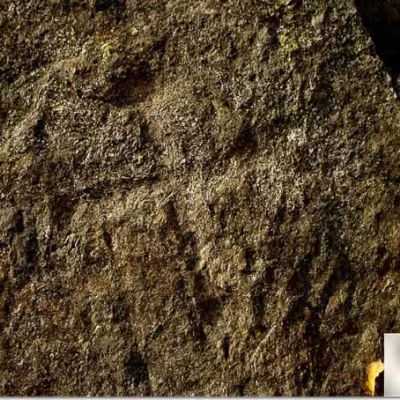
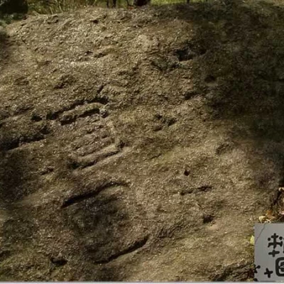
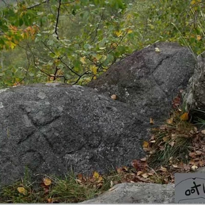
The excursion is on a circular route to discover the rock engravings on the "Sentiero delle Anime". The rediscoverers of this path, Bovis and Petitti, recommend walking it exactly in the direction described here and, in order to better observe the engravings, to choose days with little light or, better still, during the grazing light of sunset. There are two legends about the meaning of the engravings: the first refers to the signs left by the spirits that continually pass along the route, the second recalls the passage of warriors from Valle d'Aosta and Canavese who died defending their lands from the Romans. It is believed that many of these engravings, given their position, have a religious significance, first pagan and then Christian. The petroglyphs in the Traversella area are mainly of three types: cup-marks, cruciform and anthropomorphic. Cup-marks are small hemispherical engravings, sometimes connected by small channels, used as a solar symbol, of fertility and good luck. The cruciformes are a reminder of the long and difficult Christianisation of the Alpine valleys and, given their number, indicate that the 'Path of Souls' must have been considered a kind of sacred way. The anthropomorphs are a species of stylised little men, some asexual, others with their sex clearly highlighted, and still others represented with outstretched arms and spread legs, H-shaped, in the position of the 'praying' person. Some scholars, however, suggest interpreting the signs as parts of more complex scenes. Although, from an archaeological point of view, they cannot compete with the better-known finds in Valcamonica and at Monte Bego, the engravings encountered along this hike certainly make the "Sentiero delle Anime" the most fascinating itinerary in Valchiusella.
Description
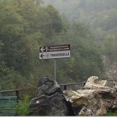
0h00' From the car park, cross the bridge and, between two ruins, follow the dirt track, signposted
and
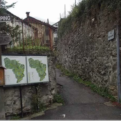
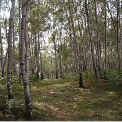
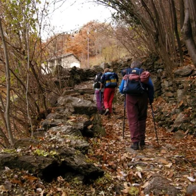
with directions to the Palestra di Roccia, the "Sentiero delle Anime" and the centre of Traversella. The path leads into Traversella and to the market square (also reachable by car, but it is difficult to find free parking). In the square, on the right, obvious signs indicate the way to the Bruno Piazza, Chiaromonte, Palestra di Roccia and Sentiero delle Anime shelters. Two tables of the Comunità Montana Valchiusella are also displayed on the corner wall. One climbs up Via Monte Marzo and, after passing the last houses of Traversella, enters a forest of chestnut, birch and hazelnut trees. Along a wide path, we soon reach the mica schist rock known as "Ròch 'D La Fornas" (905m), which bears an engraved cross in memory of Vignadocchio Domenico, an inhabitant of Traversella, who died tragically in 1905. Leave the direct track to the "Sentiero delle Anime" (Path of Souls) to follow the track to the left, marker
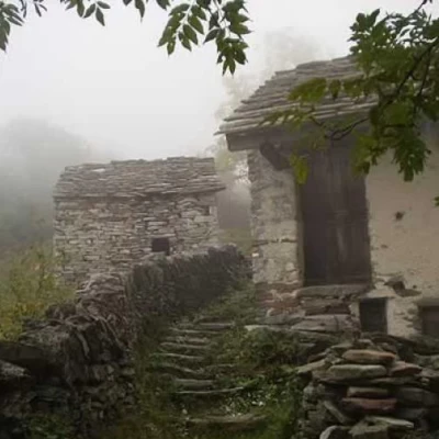
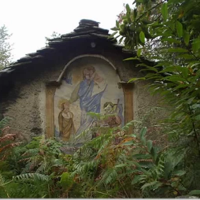
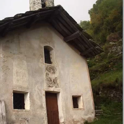
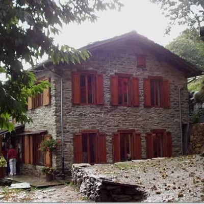
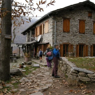
. Go past the Roncole hut and, still in the forest, make a long stretch halfway up to a grassy clearing where a hut with a frescoed façade is clearly visible. Proceed up and down, pass by a large rock and reach the clearing of the Traunt hut, intersecting, on the left, with the path to the hamlet of Chiara.
The path re-enters the birch trees, fords a couple of streams, which are often dry, reaches a clearing of grass and ferns and turns right on a steep incline on the border between the forest and the clearing. The trail climbs up the steepest slope and then turns left and shortly afterwards leads into view of the village of Cappia.
Halfway up the slope, between slight ups and downs, we reach the vicinity of the village. A final steep ascent leads to Cappia (1179 m).
The trail climbs to the right of the church along a beautiful stone-stepped path. After a few twists and turns, the GTA (Gran Traversata delle Alpi) trail intersects and a signpost with directions to Succinto, Fondo and Bocchetta delle Oche on the left, Rifugio Chiaromonte, Rifugio Bruno Piazza and Sentiero delle Anime on the right. Take the track to the right, climbing in twists and turns until you skirt a small stone wall that shortly leads to the Piani di Cappia hut (1345 m).
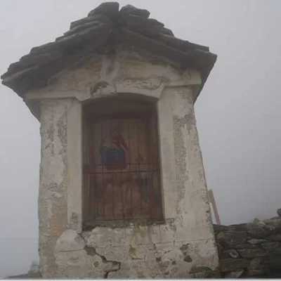
The trail passes a votive pillar. On the grassy terrace behind the shrine, a few tens of metres away, at 'Pian Cappia' (1339 m), a signpost indicates an isolated rock of mica schist on which is engraved the bisexual anthropomorphic figure of Cappia, found by chance in 1730, in the 'praying' position, i.e. with outstretched arms and spread legs as if it were an 'H' (actually, this interpretation is not at all shared by scholars).
One climbs further up between the huts and crosses the junction between the
and
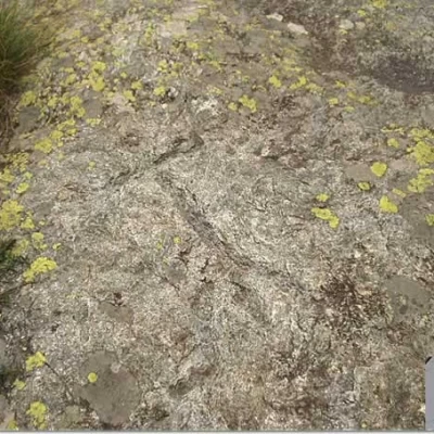
signposted paths. In order to reach the engravings at the next site, one must go up the path to the left, towards Rifugio Chiaromonte, for about ten minutes, following the orange markings until reaching a large cairn. Then descend to the left for a few dozen metres and you will find yourself at 'Bech dël Fes-Cèi' (1398m), the highest point of this excursion. The engraved surface, on micascist, depicts cup-marks, some channelled in a composite pattern, and cruciformes.
We descend again, among the birch trees, to the crossroads we have just left, and turn left, towards Traversella, to follow the "Sentiero delle Anime" (Path of the Souls) backwards. Among the grass, and protected in places by rope handrails, we cross a stream.
The path widens out and with slight ups and downs along the hillside leads to the locality of "Carëtte" (1,326m), where a drystone wall separates two groups of engravings consisting of unfinished cruciforms, allegorised cruciforms and an apotropaic sign, i.e. a sign to ward off evil influences, in the form of a basin.
Further on, at the locality of 'Mont ëd la Ròche' (1266m), a further apotropaic cruciform pummel is clearly evident. Further on, at 'Mont ëd Rivelle' (1175m), is the famous 'Roc dij crus' with Greek crosses, boundary signs, cruciformes, a chequered square (possibly representing a birdcage net) and a square framing a crossbow.
At an altitude of 1141 m, in the locality of 'Traunt', also known as 'Pian dij crus', cruciformes, an allegorised cross, an asexual anthropomorph, a recrowned cruciform and, on a boulder to the right of the main rocky spur, cup-marks and Grecianising crosses already depicted on Celtic coins are clearly evident.
A few steps and you are at the next incision, again in the locality of 'Traunt', where there is a Latin cross on a rock outcropping of the path, probably placed as a preannouncement of the previous site, decidedly richer in signs.
The trail crosses the left turnoff to the Palestra di Roccia and soon leads to the Rifugio Bruno Piazza (1050 m).
On a nice path, which is very well paved in places, we descend by turns, cross the
trail marker, which climbs to the left towards Rifugio Chiaromonte, and shortly return to the "Ròch 'D La Fornas", where, taking the left-hand track, we retrace our steps to the car park of the mines.
General Information
Signposts:
,
,
Type of route:circular
Recommended period: January, February, March, April, May, June, July, August, September, October, November, December
Sun exposure: south
