Green-Blue Trail: Sturla-Nervi
Introduction
Sturla, a district in the eastern part of the city of Genoa, is easily accessible by both public and private transport.
Description
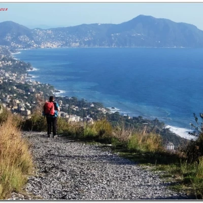
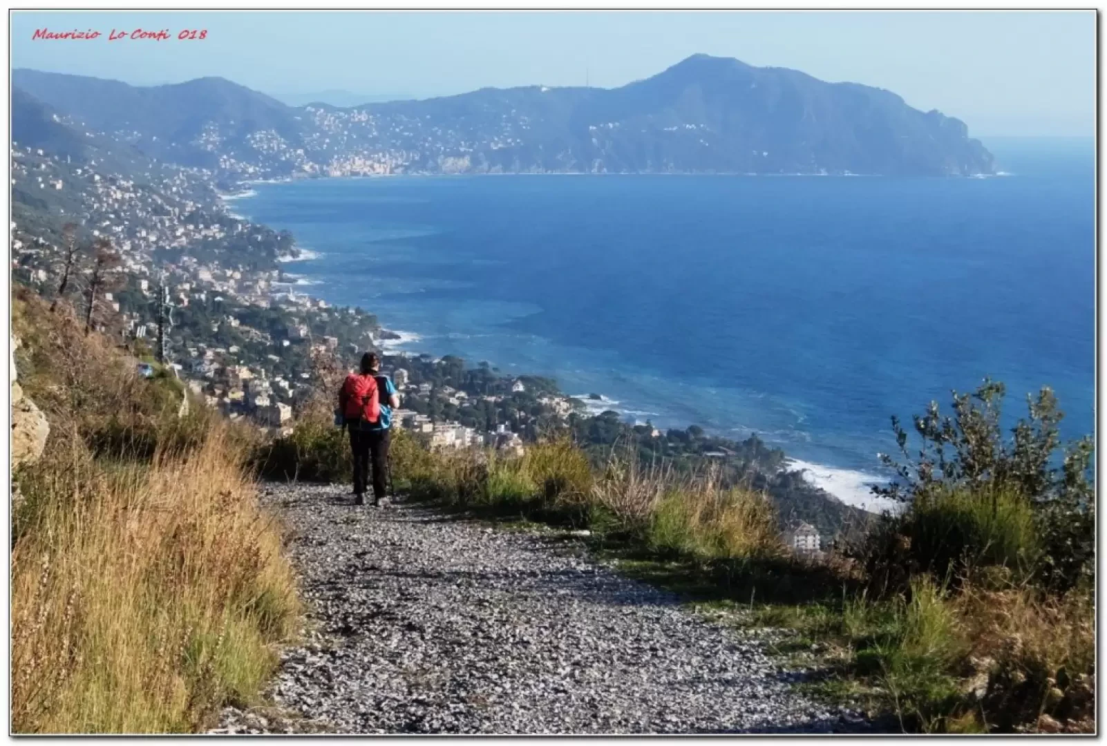
The VerdeAzzurro path (so called because of the proximity of the sea to the land rich in vegetation) was the subject of a publication in the 1980s, for a trek from Genoa to Portovenere, and is still a valid walking proposal today... From time to time, one can also see the signs for the route to Luni, which follows, but NOT entirely, the excursion in question.
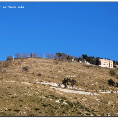
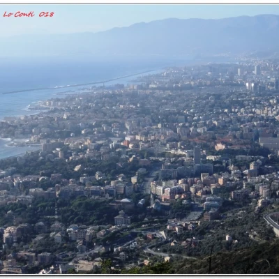
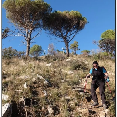
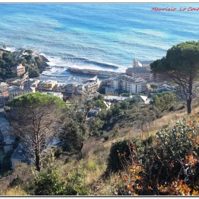
The walk is very scenic in the upper part. From Sturla to Apparizione, one follows the various creuze and side streets. From this last hamlet, continue until the path becomes flat and go straight on. Continue until you cross the carriage road. You ignore a descent to the right and go uphill to the left to Monte Moro. From here, continue to descend, somewhat steeply in the last stretch, to Nervi.
In short: Weather excellent, visibility super. Dif. T/E - 4h Tot - about +450 m disl
If you want, here is the pdf photo file, with some other news:
http://www.cralgalliera.altervista.org/VerdeAzzurroSturlaNervi018.pdf
http://www.cralgalliera.altervista.org/anno2018.htm
http://www.cralgalliera.altervista.org/altre2018.htm
NB: In the case of an excursion, always check with FIE, Cai, any park authority or other institutions, pro loco, etc, that there have been no changes that have increased the difficulties! No liability is accepted. The present text is purely indicative and not exhaustive.
Info Hiking Section Cral Galliera: http://www.cralgalliera.altervista.org/esc.htm
trips 2018 at link: http://www.cralgalliera.altervista.org/gite2018.pdf
The various green booklets on Verdeazurro by the unioncamere liguri study centre, with the covers designed by the artist Oikonomoy, are over 30 years old, but written so well and with such precision that despite the time they still allow the excursion to be developed today. In this case, the central section is no longer viable and therefore it is necessary to take advantage of the secondary carriageway, fortunately with very little traffic because it ends at Monte Moro... Originally, they came out as a supplement to "il Giornale" in 1985, in 10 issues
Further on, after ending up on the bookshop circuit, the last 4 were unified in a single volume
Here is a photo of the covers:
http://www.cralgalliera.altervista.org/DSCF7115D.jpg
The author F. Rocchi, just a few years ago, was a member of a Coop group of walkers...
In the past, it was his job to rewrite some sections for the FIE magazine "Escursionismo"
Nervi Camogli:
http://www.cralgalliera.altervista.org/nervicamogli.pdf
Lavagna Sestri Levante:
http://www.cralgalliera.altervista.org/escursionismosett09.pdf
Framura Levanto:
http://www.cralgalliera.altervista.org/articleescapr08.pdf
General information
Trail signposting:partial trails marking Fie
Type of route:inline
Recommended period: October, November, December, January, February, March, April, May
Sun exposure: south-west
Objective danger:none
Exposed sections:none
Useful equipment:normal day hiking equipment
