Cecilia Trail
Introduction
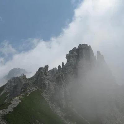
Traverse the ridges, spires and pinnacles of the Northern Grigna to admire its limestone sculptures and typical landscape. The itinerary can be included in the context of a loop to be done in a day: from Piani Resinelli, Cresta Sinigaglia, Bivacco Ferrario, Punta Cermenati, Rifugio Rosalba, Piani Resinelli. Incorporated into the Alta Via delle Grigne as an ideal continuation of the Direttissima.
Description
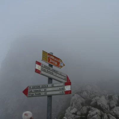
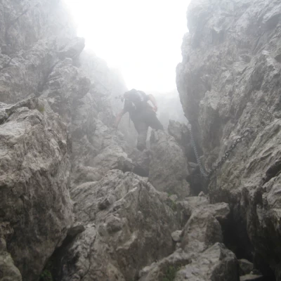
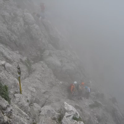
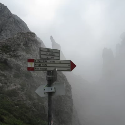
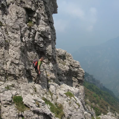
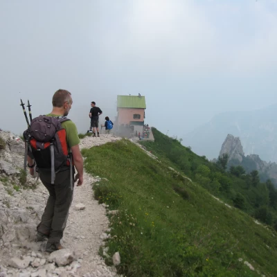
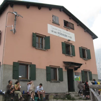
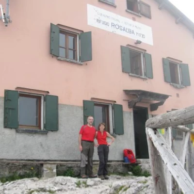
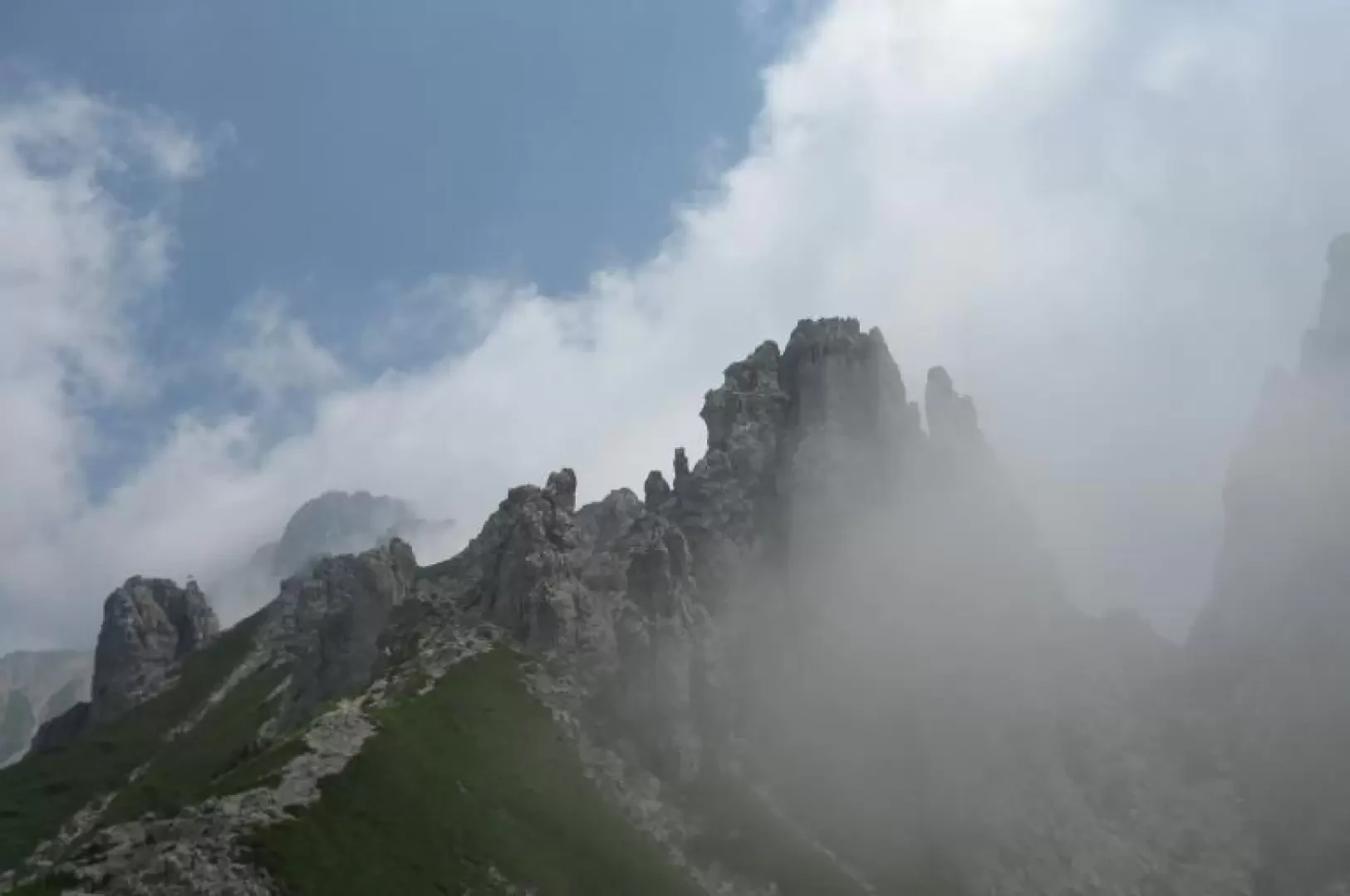
From Bivacco Ferrario (2181 m) walk along the rocky terrace heading west. A chain aids the descent over a few rocky drops followed by a wide, steeply descending detrital path. We are on the Cresta Cermenati, the quickest access to the summit of the Grigna Settentrionale. Descend to an altitude of 2040 m, where a marker signposts path no. 10 "Cecilia" to the Colle Valsecchi and the Rosalba hut on the right. Take the downhill track on the grassy slope to the right, followed by a stretch of rocks and again a descent on grass. You turn right down a landslide (be careful not to dump stones!) and reach the Canalone dei Piccioni (2035 m). After crossing it, a slight ascent leads to a col, from which you immediately descend to cross a gully that leads into a chimney to be climbed up to a notch. After a subsequent gully, one crosses the head of the Canalone di Val Tesa, from which the Direttissima path ascends to the left. It is now necessary to climb up some easy rocks to reach the Colletto Clerici (1910 m), then descend on the opposite side through a small gully, then traverse to the right and finally reach the Colle Valsecchi (1898 m), a conspicuous notch of the Cresta Segantini. Path no. 11 of the Val Scarettone starts off to the right, a very interesting traverse that takes you back to the summit of the Grignetta along its northern slope and joins the Traversata Alta at the Bocchetta del Giardino. From Colle Valsecchi, an excellent vantage point on the southern slope of the Northern Grigna, Sasso Cavallo and Sasso Carbonari, traverse the northern slopes of the Torri Moraschini, Torrione Palma, Civetta and Piramide Casati. You cross ledges, traverse gullies, often aided by chains, and finally reach Colle Garibaldi (1800 m) from where you descend to the nearby Rosalba hut (1719 m) on an easy scree path. Reflections: We set out with more optimistic weather forecasts than turned out to be the case in reality. Almost all of the Cecilia path was walked in fog, but in the rare openings, the panorama was nothing short of enchanting. It was a pity that adequate photographic documentation was not possible. The position of the Grigne, to the east of Lake Como, means that in warm weather, cloud masses are concentrated from as early as morning even on high pressure days.
