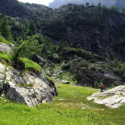
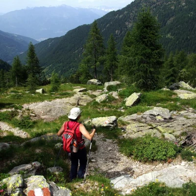
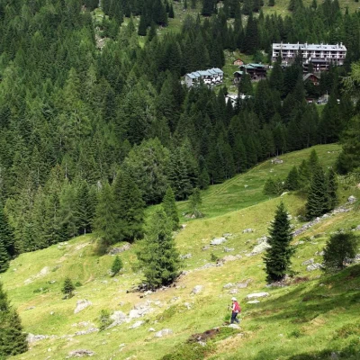
Torrione di Mezzaluna, from Fenile
Introduction
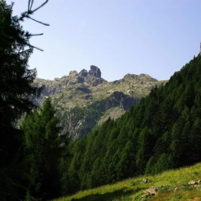
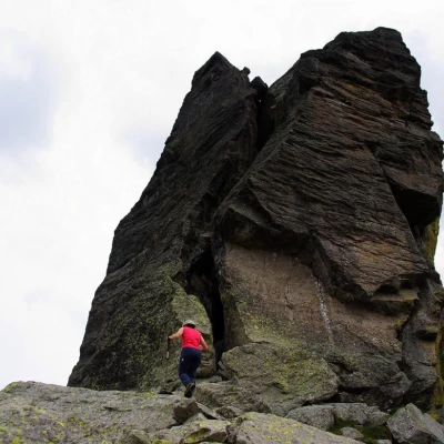
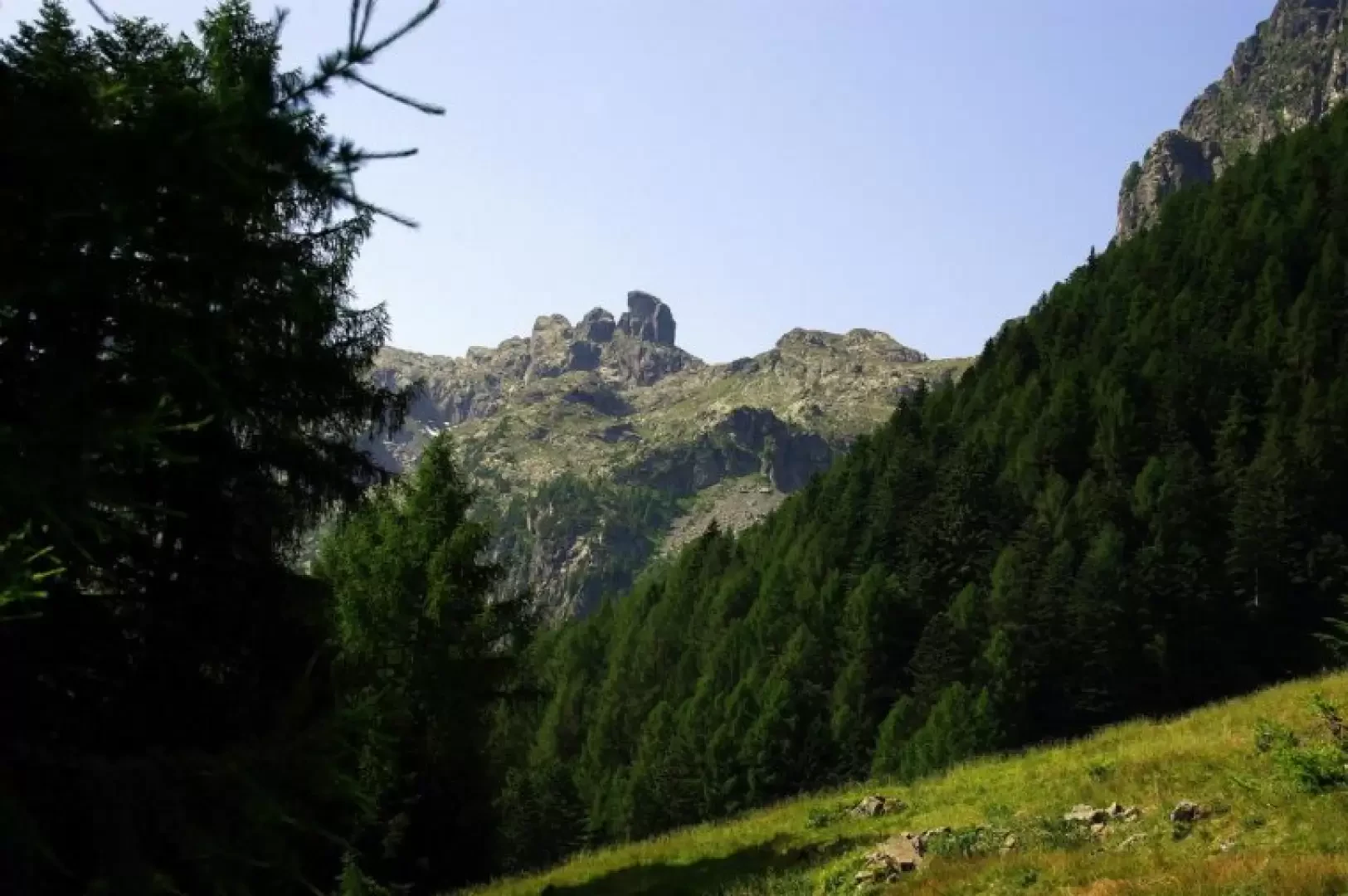
Beautiful excursion for long stretches outside the marked and signposted routes: good visibility is required to reach the most curious monolith dominating the upper Valgerola. The Torrione di Mezzaluna (which in fact is not monolithic, being cracked on all sides by wide chimneys) is the last offshoot of the Mezzaluna ridge that, starting from the Cima Occidentale dei Piazzotti 2349m (or Cima di Val Pianella) descends to the Buco di Tronella 2158m and then climbs to the Pizzo di Tronella 2311m and ends at the wooded Piich 1855m. These rock formations are very poorly frequented by mountaineers (the quality of the rock is often poor and treacherous), while the transfer paths to intermediate altitudes are very popular with loop trails between the numerous lakes in the area. High probability of encountering wild ungulates, ibexes especially.
Description
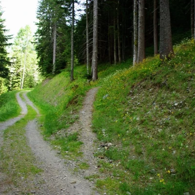
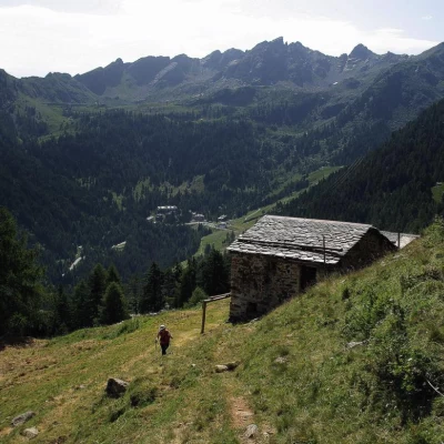
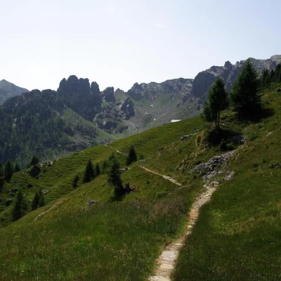
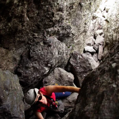
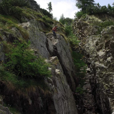
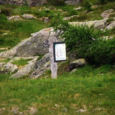
From Fenile 1238m, cross the Bitto stream via one of the two bridges; on the other bank, walk a few hundred metres upstream along a dirt track that enters the silver fir forest. Then take a clearly marked path to the right that climbs up the slopes of the Piich with long traverses; an approach of hairpin bends heralds the approach to the wide clearing of the La Casara alp 1580m (used in spring and autumn as a temporary cattle station). Pass to the right of the huts heading towards a wooded slope: follow the path until you come to a large dry stone wall, where you leave it to head uphill towards a "calecc" (temporary hut-cottage with dry stone walls around the perimeter and roofing - when in use - of sheets supported by a ridge beam). From here, signs in paint are again visible, heading in an ascending traverse to the left: a beautiful path through a sparse larch forest soon leads to the low pastures of Piich 1855m. Climb up the steep meadows to the little summit hut, where - next to a rusty puddle - a well-trodden path crosses: follow it to the left slightly downhill to a fork in the path over landslide terrain. At the top right, on a stone in the grass, is the inscription '1/2 MOON'. Follow the new path that, keeping slightly uphill, crosses the stony slopes of Pizzo di Tronella. Alternating between stretches of vegetation and long crossings of unstable scree, you reach a small plateau at the edge of a grassy gully: via a narrow ledge you reach the bottom and begin the slow ascent. From here, no trace of the route is visible on the ground, except for a few essential cairns. At an easy rocky slab, you leave the gully and exit to the left on very stony grassy slopes. Climb up the slope, taking the clearly visible Torrione as the main direction: choosing the most convenient route among the scree flows, you will reach a steep grassy corridor that comes out near the ridge at a stony hollow with snow residues. Around its right-hand edge, you reach the ridge line at the foot of the Torrione di Mezzaluna 2333m. Beware of the other side: a vertical grassy wall precipitates onto the Zancone and Trona lakes below. The ascent of the Torrione is not an easy mountaineering venture: the normal route consists of a series of dark chimneys of IV+/V grade (an un bolted route to be found in the internal meanders) leading to the exposed IV summit slab. [There is also an external route of 6b+ obligatory, also poorly bolted]. Excursionally, it is possible and fun to get an idea of the environment by climbing above the clearly visible wedged boulder: steps of III. For the return, retrace the outward route to the point of entry into the first grassy gully: you do not come out and continue the descent along its increasingly rocky bottom. Taking a visible nature board at the bottom of the valley as a reference point, descend to the left along the damp rocks of a torrent to a small concrete wall (a water catchment dam): at this point, you will come across abundant signs in paint of an educational trail on the wetlands, which should be followed to the right on a slight incline. Near an isolated hut, converge on the Val Tronella path (no. 8) and descend rapidly to the left in the direction of the two Dossello huts 1600m c. Continue - signposted - in the direction of Villaggio Pescegallo 1454m through a fir forest along a wide, stony path; just within sight of the village, at the edge of wide pastures, descend along the line of maximum slope until reaching a forest track. This is the same as the one taken at the start of the outing, and following it to the left you will soon return to the starting point.
