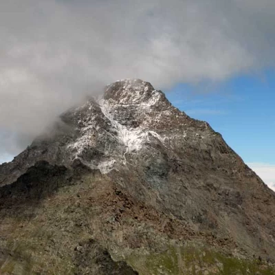
Tour Ponton, from the Dondena car park
Access
Leaving the motorway at the Pont-Saint-Martin toll booth, after 100m turn left to follow the state road in the direction of Aosta. After 500 metres, at the roundabout, take the second exit and continue on the state road for 3 kilometres to the next roundabout. Take the second exit and follow the regional road in the Champorcher Valley. Continue on the regional road for 14.7 kilometres up the valley and through the villages of Hône and Pontboset before reaching Château, the centre of Champorcher. Turn right, following the signs for Dondena and climb up the little communal road for about 7.9 kilometres until you reach the Dondena car park 🅿️ where you can leave your car.
[0h52'] - [30.6km]
How to get there with GMaps
How to get there with Apple Maps
The information provided here has been verified as of the date the route was surveyed. Before setting off, it is advisable to ensure that no substantial changes have occurred on the route to the starting point. We therefore recommend the use of the satellite navigation apps provided by Google or Apple for up-to-date and detailed directions.
Introduction
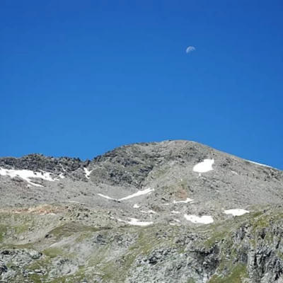
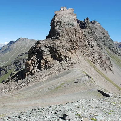
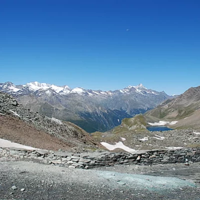
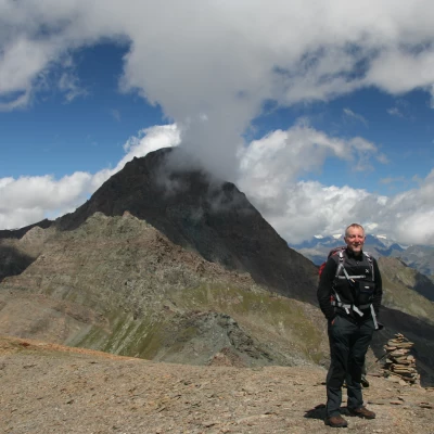
A three-thousand-metre peak at your fingertips! The ascent to Tour Ponton, especially on a clear day, allows you to enjoy an extraordinary panorama of the reliefs to the south, while to the north, the 4000-metre peep out between the imposing south face of Tersiva.
Description
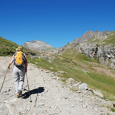
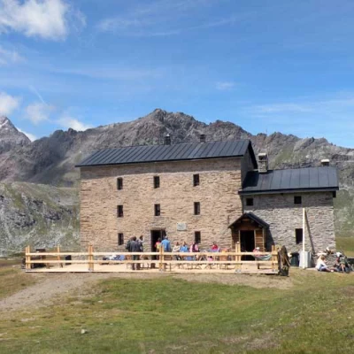
0h00' Leaving the car in the clearing adjacent to a large wooden panel bearing the map of the municipality of Champorcher, we proceed downhill towards the Ayasse stream following the dirt road with the sign. After "fording" the stream, you begin the ascent, first passing near the ruins of the former Albergo Alpino, then you come across some characteristic alpine pastures and finally reach the Rifugio Dondena (2110m).
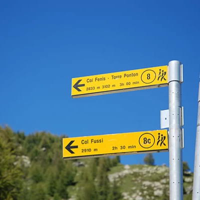
0h15' Having passed the hut, continue along the little road that runs on its right and begins to enter the Ayasse valley: we are proceeding on the same route as the Alta Via . As you follow the route, under the stern gaze of Mont Dela (3139m), you come to the turnoff for Col Fussy and Mont Glacier (3186m), trail ;
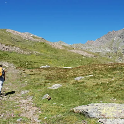
0h35' Neglect the diversions to the right and continue by veering slightly to the left to climb a slight incline. Then, after a slight bend to the right, the path proceeds slightly on a false level until reaching a second fork: take the path to the right that leads to the Col de Fénis.
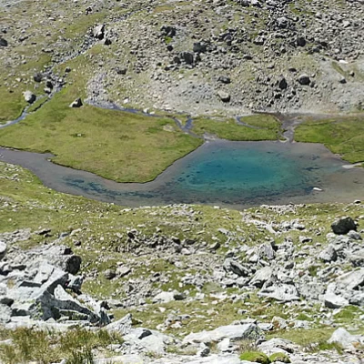
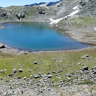
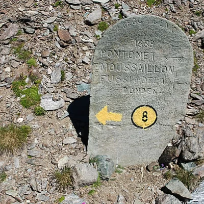
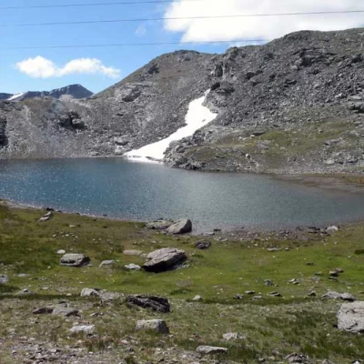
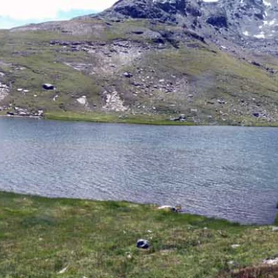
0h55' Turn right and proceed for a short stretch on the level, on the traces of an old mule track. Turn right and walk slightly up and down until you reach the Miserin stream: cross it on a small bridge and continue halfway up a small ridge until you reach the Lac Blanc basin. You now proceed with a series of twists and turns, quickly gaining height and reaching the vicinity of a pylon, and from there you enter the small valley that precedes Lake Pontonnet. The destination, Tour Ponton, is now clearly visible. We skirt the lake and take the Chemin du Roi (old mule track used by Victor Emmanuel II on his hunting trips). You reach the mule track at the height of an 1889 memorial stone and proceed to the left on the beautiful paved road. Climb the last section of the Pontonnet valley and, after a couple of twists and turns, you arrive at Col Fénis (2857m), from where there is a splendid view over the Clavalité valley.
2h30' Head towards the small barrack and, having avoided the pylon, follow the path first to the left, then halfway up the slope under the foothills of the Tour Ponton to Col Pontonnet (2897m), recognisable by its characteristic little wall.
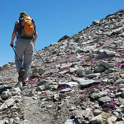
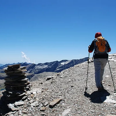
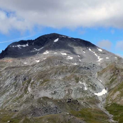
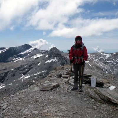
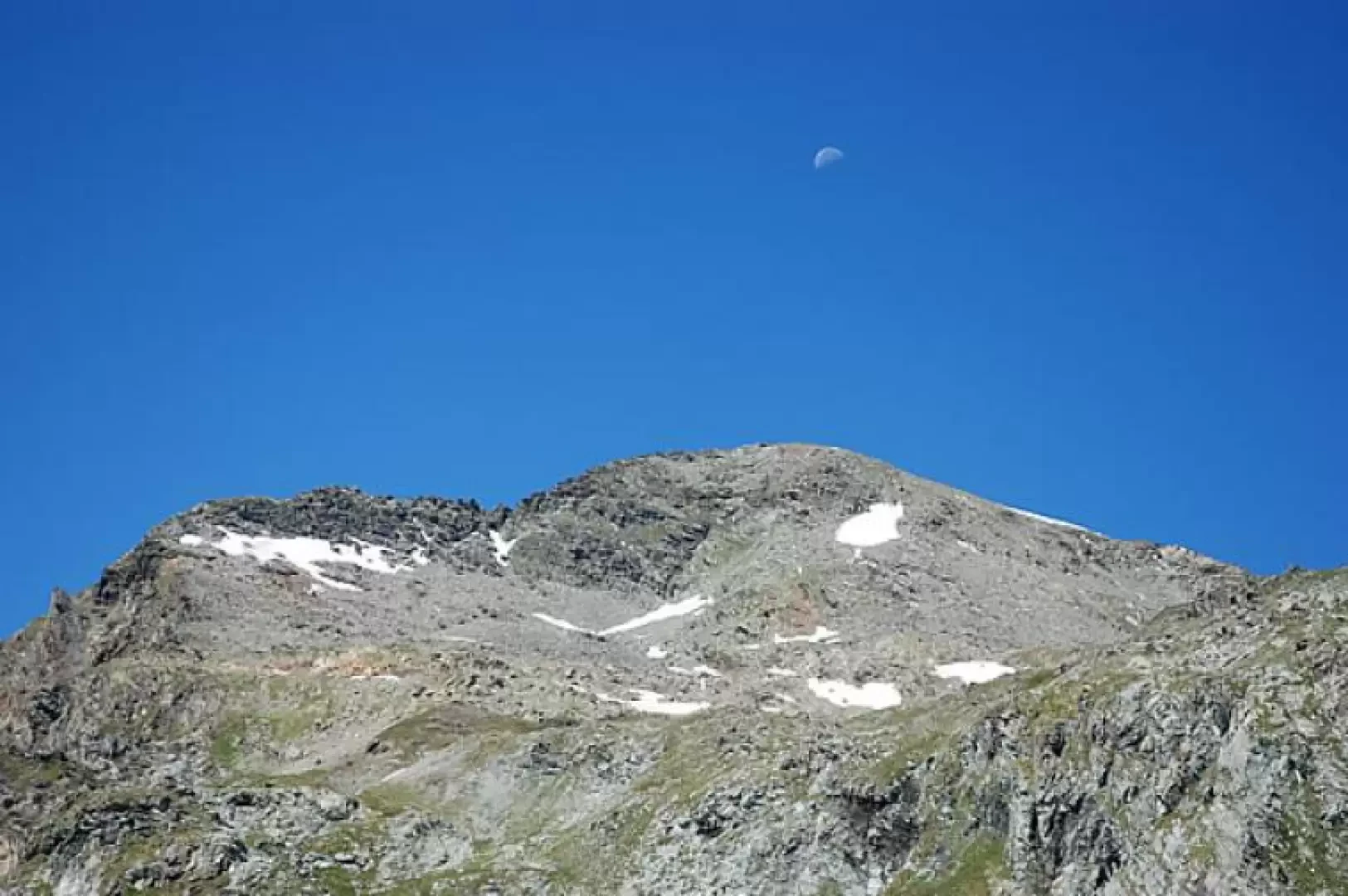
2h40' From the pass, go up a track on the left (cairns and some yellow signs) that is immediately quite steep and climbs the northern slope of the Tour. After the first steep section, the path descends and leads to the left, skirting a snowfield (early season), towards the summit of Tour Ponton (3101m) 3h00'
The descent follows the same route as the ascent 1h45' ; or you can make a small loop by continuing straight on at the 1889 memorial stone and following the Chemin du Roi to the junction for Col Moussaillon: Here, turn right and descend until you reach the entrance to the path
and the track that leads to the Dondena hut and the starting point 2h00'.
Galleria fotografica
We have been there
Tour Ponton
bella gita, molto panoramica. ritorno dai laghi Miserin Avvistamenti faunistici: Aquila chrysaetosTour Ponton
Fatto il giro ad anello tornando dal lago miserin. Giornata nel complesso bella ma con temperature gelide complice lo zero termico a 3000 m ed un vento teso e freddo: se non si guardava il calendario sembrava di essere a novembre (vedi foto in vetta)!
Il ponte sul torrente in corrispondenza del bivio a quota 2343 m è stato ripristinato.
Dato un'occhiata ai ghiacciai del Rosa che sono innevati e ancora ben chiusi.
Fatto il giro ad anello tornando dal lago miserin. Giornata nel complesso bella ma con temperature gelide complice lo zero termico a 3000 m ed un vento teso e freddo: se non si guardava il calendario sembrava di essere a novembre (vedi foto in vetta)! Il ponte sul torrente in corrispondenza del bivio a quota 2343 m è stato ripristinato. Dato un'occhiata ai ghiacciai del Rosa che sono innevati e ancora ben chiusi.
