Tour de Saint-Evence, from Plau

Edited by:
Massimo Martini
Updated at: 27/07/2025
Introduction
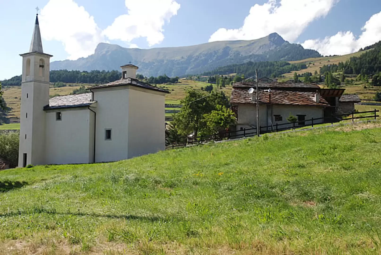
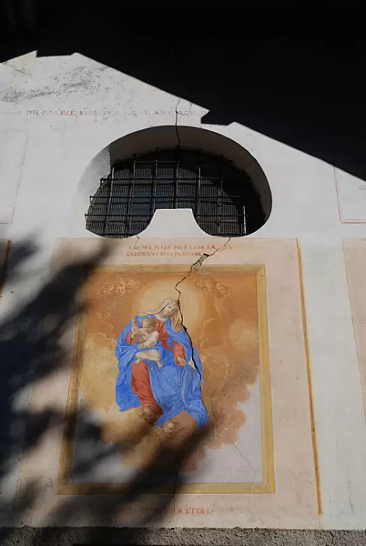
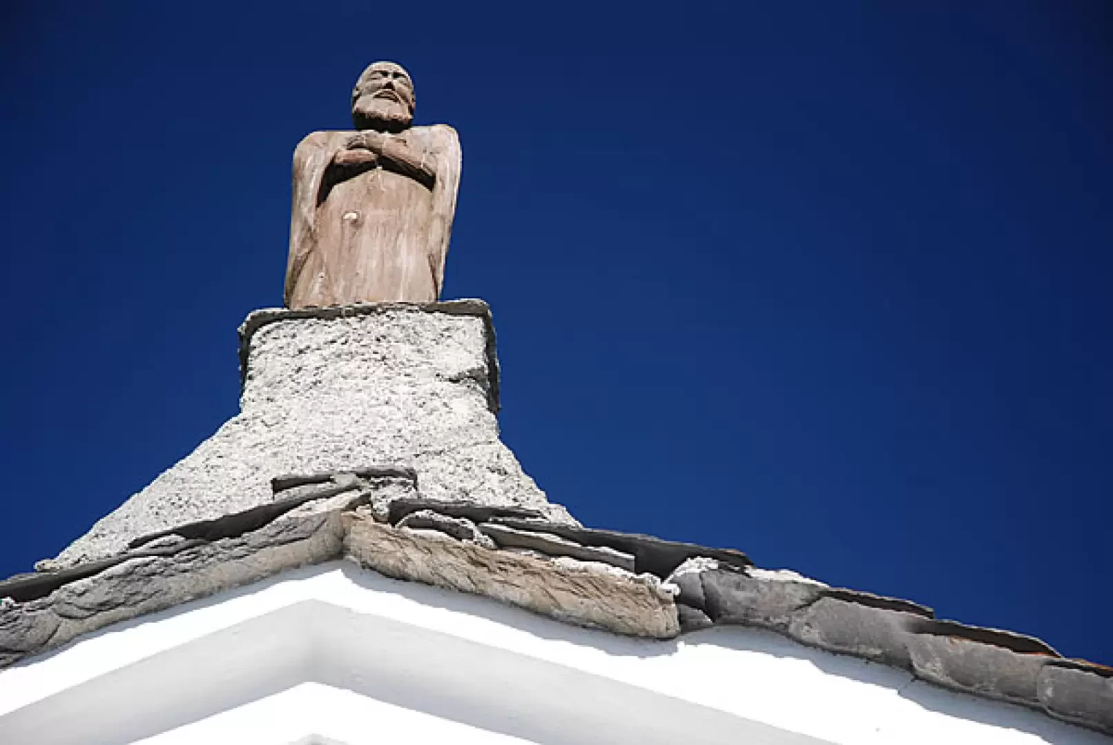
Easy route to discover the upper part of the Saint-Denis area. The walk leads to the chapel of Saint-Pantaléon (dating from 1845) and the chapel of Saint-Evence (dating from 1727): along the way, interesting panoramic views over Valtournenche and the central valley.
Description
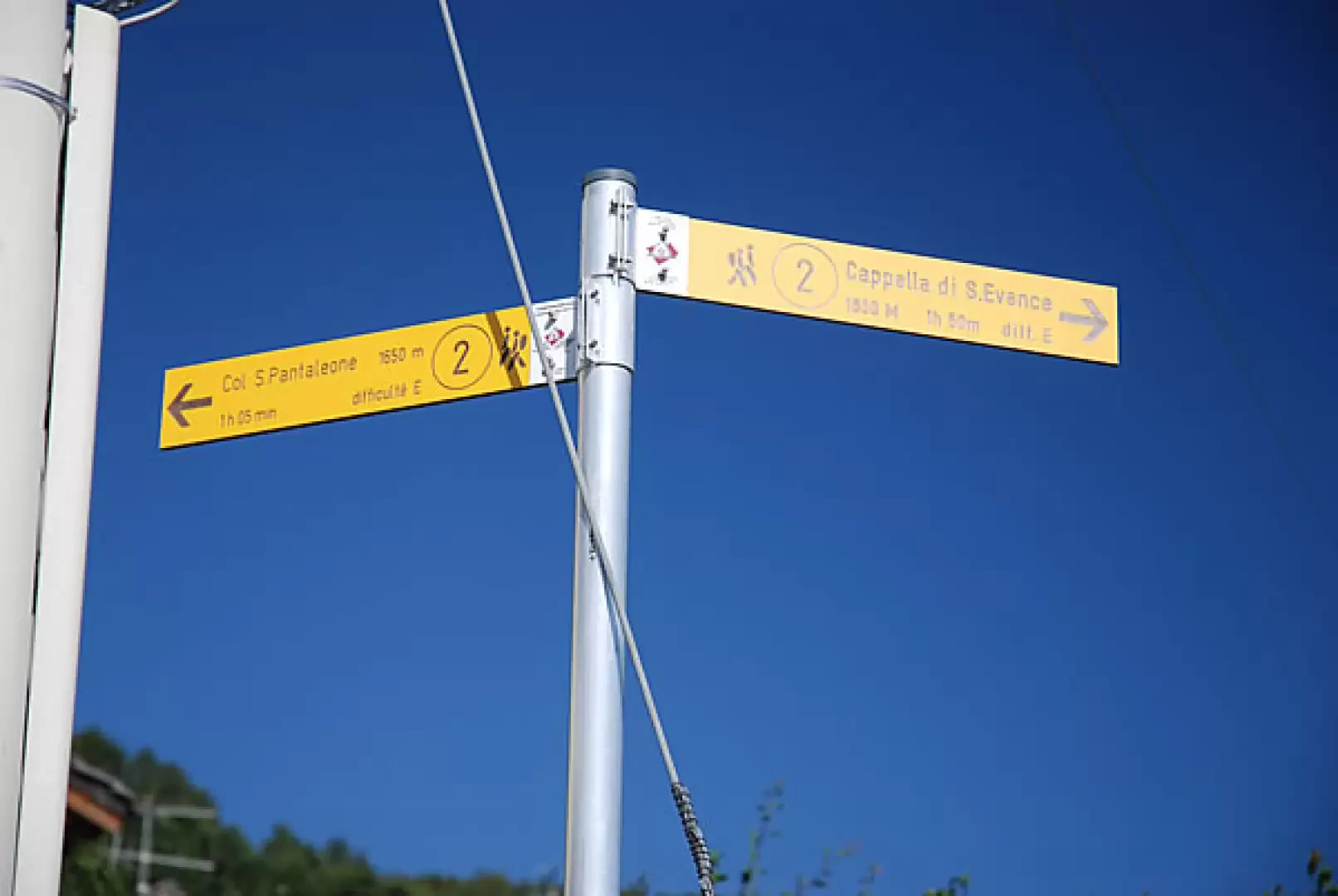
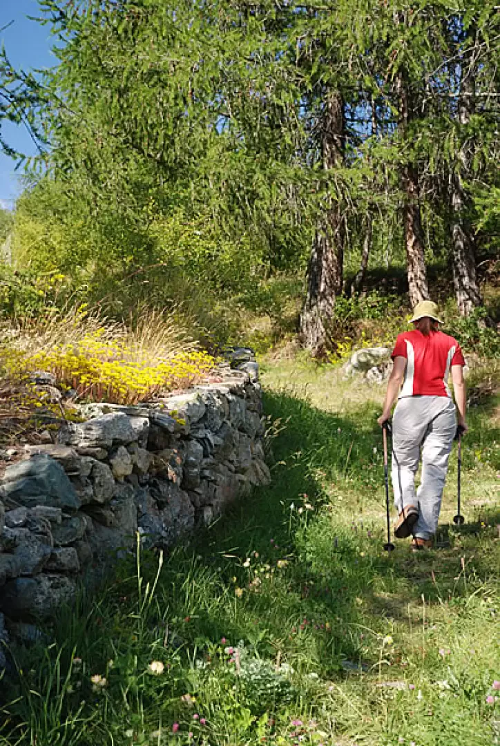
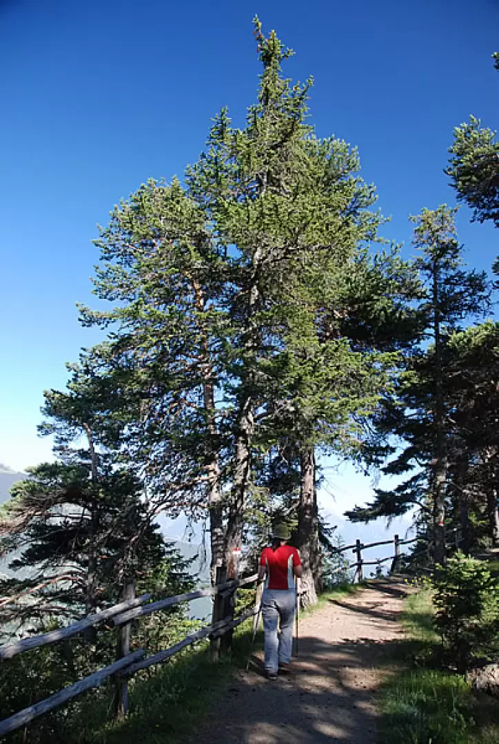
From the car park, take a small road that climbs up towards some houses; shortly afterwards, it becomes a grassy track that, after passing a few houses, rejoins the SR12. You reach Semon and follow the tarmac road for a short distance until you rejoin the track on the right, which transits near some houses and then crosses an area of pastureland, recently equipped with sprinkler irrigation. You cross the regional road again and continue up the track until you enter the forest; here, the track gives way to the old "Route des Torgnolens", a mule track that linked Torgnon with the villages of Saint-Denis. You enter the dense fir forest and cross the SR12 several times. Just before the pass, you meet, on the left, the junction of the path coming from Chérésoulaz and finally reach the chapel of Saint-Pantaléon (1645m, 1h00'). You will come to a marker indicating the next direction: follow the signs for Saint-Evence and take an easy, wide path that traverses the watershed ridge between the Valtournenche and the wide basin of Saint-Denis and Verrayes. Along the way there are interesting views of the Cervino and the not-too-distant peaks of Mont Tantané and the Mont Zerbion. We continue along the pleasant up and down path: after about 20 minutes we reach, in the middle of the forest, the deviation, on the left, for the Sez de Creuvo: we ascend the forest for about a hundred metres and come across a peculiar hollow stone inside.
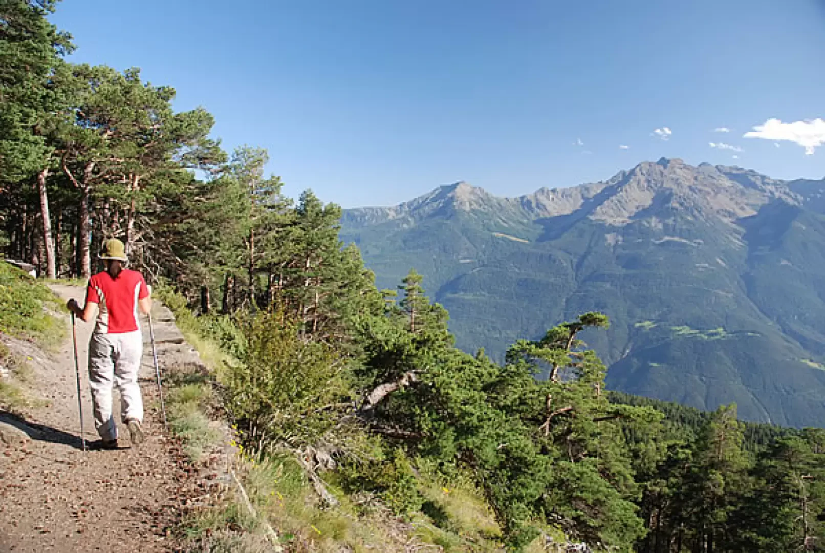
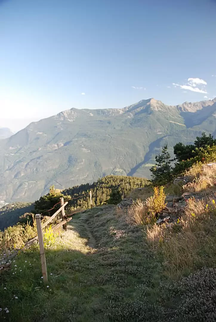
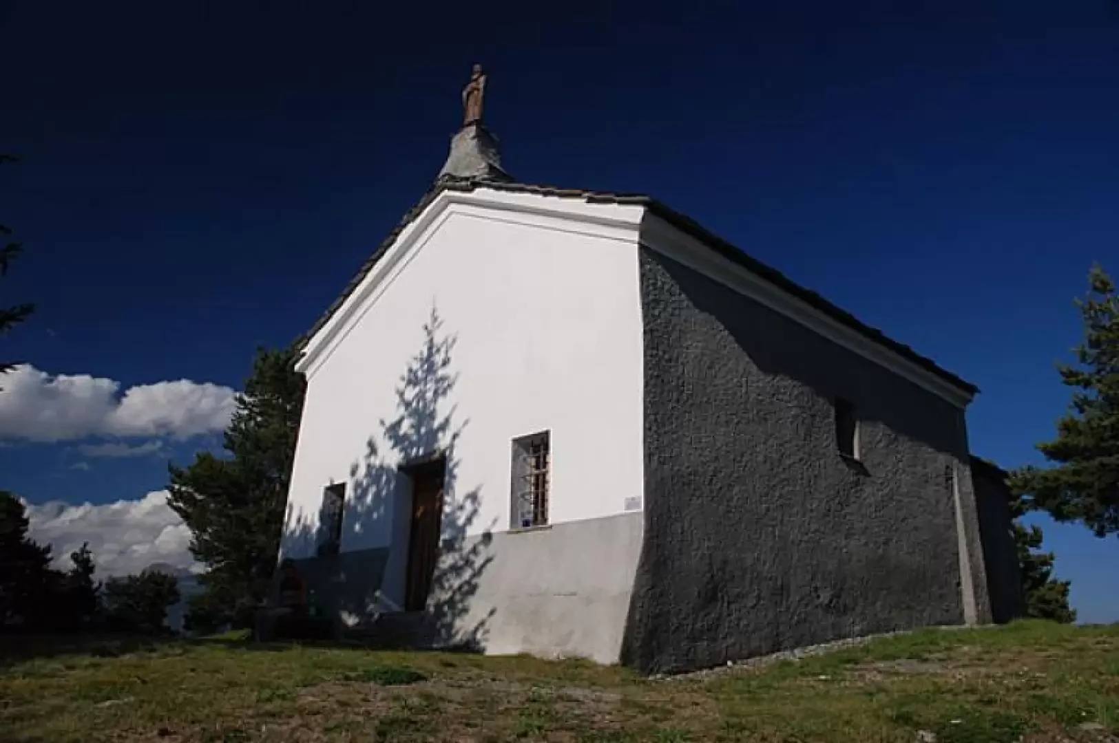
Returning to the main path, we meet some benches that, placed along the way, allow us to enjoy the beautiful panorama that opens up over the central valley. Finally, you reach the plain where the characteristic Saint-Evence chapel is built (1667 m, 1h45').
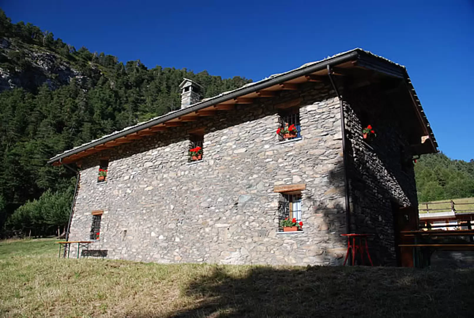
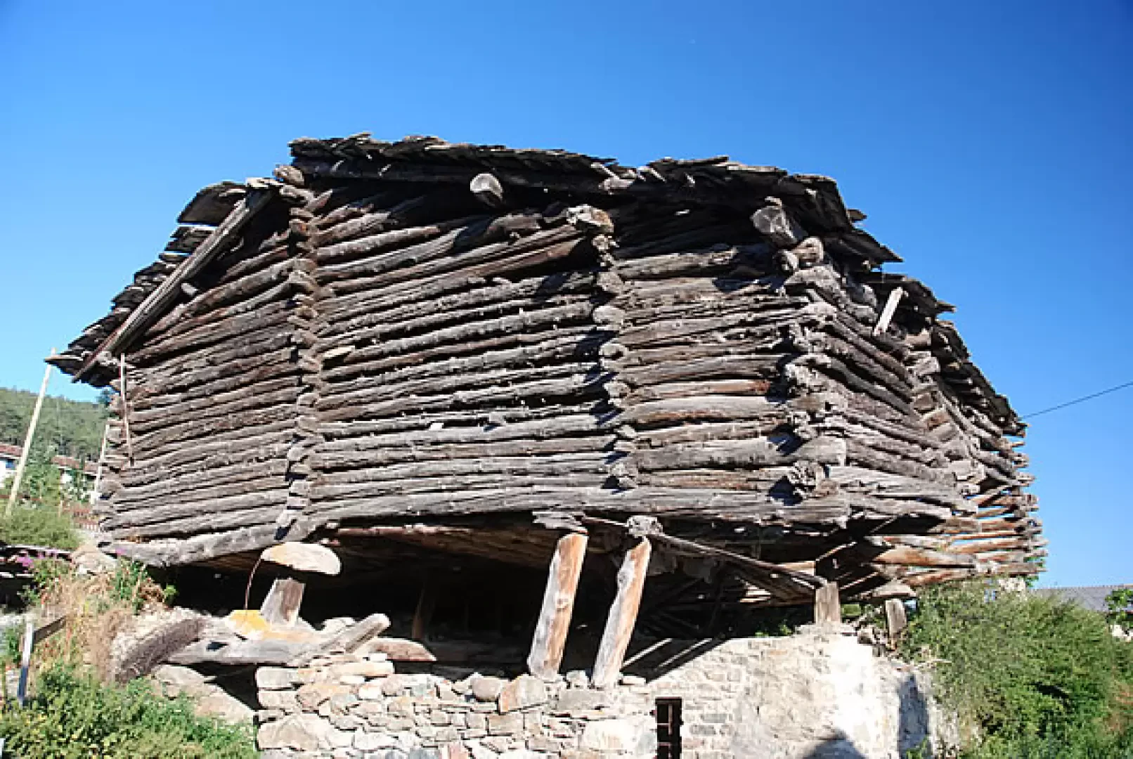
You walk to the back of the chapel and, following the railing, you see a path that begins to descend towards the forest below. The first section is rather steep, with a series of twists and turns you lose height, taking you into the cool Champolong forest. A fork in the path is encountered: proceed to the right until shortly afterwards you come to a forest track. Continue along the track until reaching a small clearing where you will find Lavesé (1550m), a renovated mayen housing a sustainable green building project. Still following the signs of the trail, we re-enter the forest and continue our descent until we reach the pastures above Plau and, shortly thereafter along a small asphalt road, we reach the starting point passing by a beautiful rascard, unfortunately in a state of disrepair. Reaching SR12, continue to the right for a few minutes until reaching the car park, the starting/finishing point of the itinerary (1328 m, 2h45').
Galleria fotografica