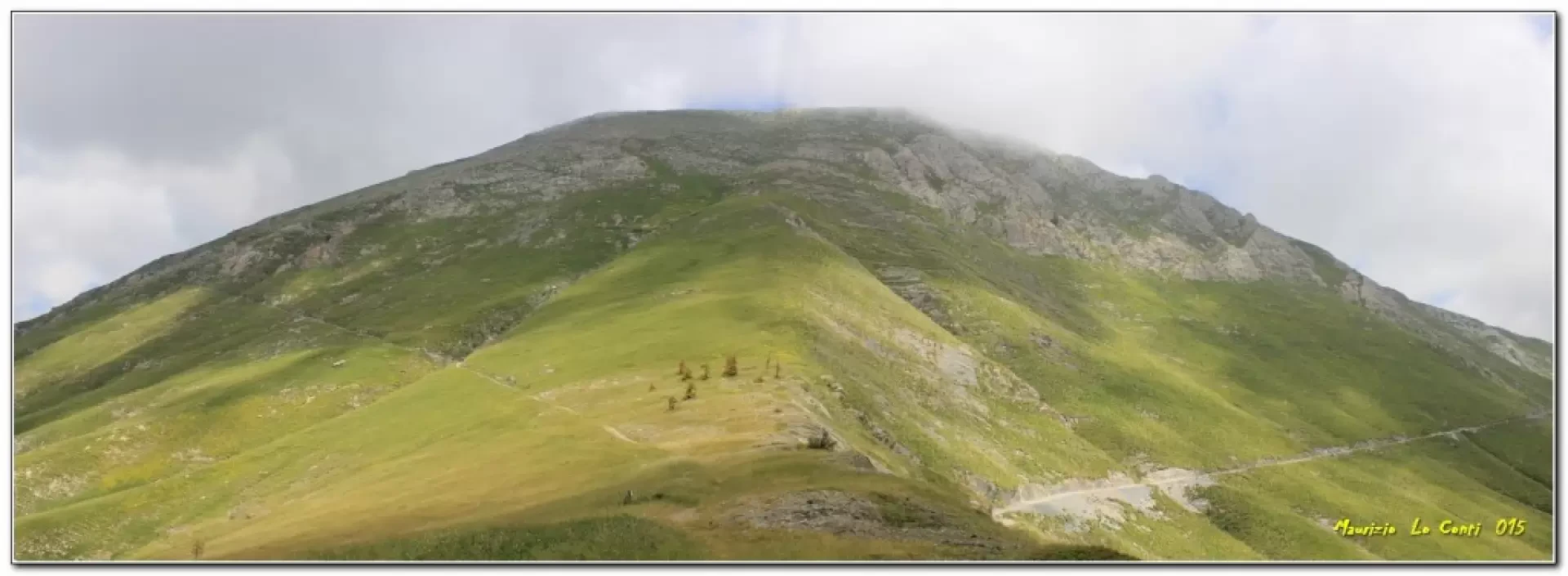
Cima di Pertegà, ring from lower Carnino
Introduction
The Cima Pertega ring and the Ciarlo Bossi Refuge in Val Tanaro (CN).
Description
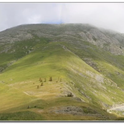
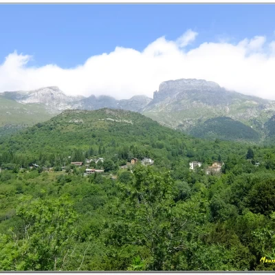
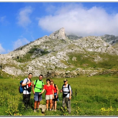
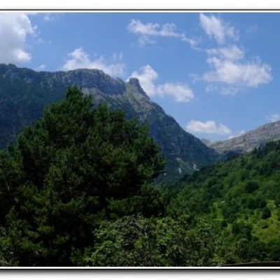
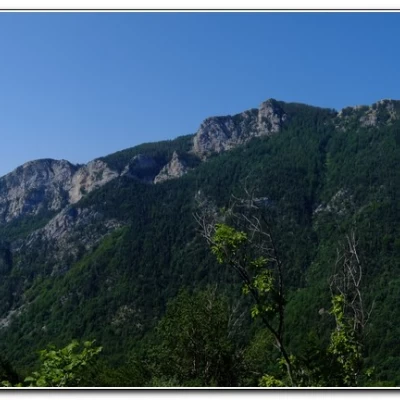
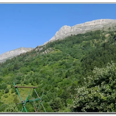
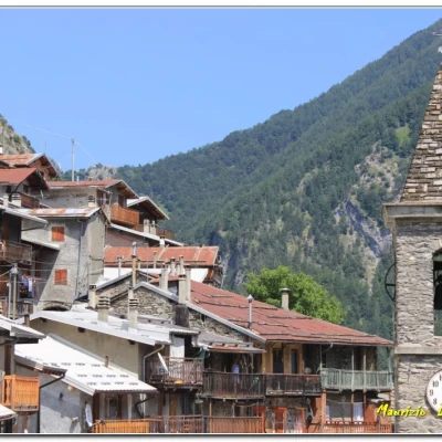
The Ciarlo Bossi ref. is above lower Carnino at an altitude of 1540m. The sky is clear and the first stars can be seen in the initial darkness on Friday evening, while on Saturday morning it is a spectacle to look around in all directions before the hike. We descend to lower Carnino, 1370m, and cross the upper hamlet in the direction of Colle dei Signori. It is a little hot and when you come across a fountain, you take it by storm... You then reach the junction for the Mastrelle pass (1h10') and then tackle the Gola della Chiusetta, reaching a beautiful plateau. You pass the Selle di Carnino and continue uphill. The signs, previously practically absent, are now more visible. One crosses the last runners of the Cromagnon sky runner (crazy race from Limone to the Menton sea, 120km long with 6000m of positive altitude difference, to be done all at once!). Finally, we reach the Rifugio Don Barbera 2079m (2h50' from the start). A stop is made here and some decide to turn back, while others continue. We reach the Colle dei Signori and almost immediately leave the dirt track for the path that bends into French territory. One ascends to an altitude of 2200m and has a beautiful view of Punta Marguareis. The path in this section is very easy, but there are no signs for the Pertega peak, which probably (or rather certainly) must be reached via meadows, choosing the lowest gradient. Eventually, also in view of the fog at the summit, we give up and take a break from the Colle delle Selle Vecchie at 2099 m (1h from the Don Barbera hut). You take the wide dirt track below, but soon leave it for a path that descends into the forest. The signposts are few but the track is clean. We ignore a fork in the road (where perhaps the routes are wrong) and choose to continue straight on to Case Nivorina (1h00'), near which there is a cool stream where it is possible to... refresh oneself... The trail now descends towards Upega. You cross a flock of sheep and goats until you reach the little church of Madonna della Neve (13th century) 1325 m just above the village (1h). In the end, it was about 6h for almost 850m of altitude difference, a little hot and too many annoying flies... At Upega, we were picked up by car and with another 150m of altitude difference, we returned to the refuge (so a total of about 1000m of altitude difference for the day). In the evening the classic polenta, even if this July is hot even at the refuge, and then on Sunday, after a last hearty meal, we load the cable car for the return journey...
Photos of the outing, pdf files and individual shots partly different from those in the document:
http://www.cralgalliera.altervista.org/Rifugio015A.pdf
http://www.cralgalliera.altervista.org/Rifugio015B.pdf
http://www.cralgalliera.altervista.org/anno2015.htm
Good viewing. ciao to all Maurizio NB: More info at the link
http://www.cralgalliera.altervista.org/esc.htm
Photos other outings
http://www.cralgalliera.altervista.org/anno2015.htm
http://www.cralgalliera.altervista.org/altre2015.htm
All additional information (maps, panels, news, etc. q.p.) are available only to members registered with the Hiking Section Cral Galliera!
Trail signposting: partially marked paths and poles at crossroads
Type of route: circular
Recommended period: July, August, September
