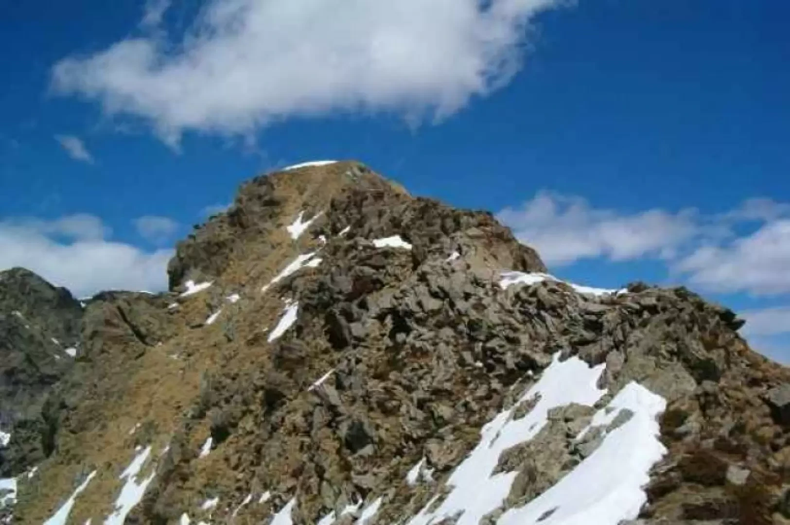
Cima di Pal, from Fraschietto

Access
State road to Ceresole. At Cuorgnè head towards Pont Canavese, cross the village in the direction of Val Soana but follow the signs for Frassinetto. Once in Frassinetto, a rutted and forbidden road leads to Fraschietto. From there the road is unpaved, leave the car and walk along the dirt road that does not descend to Fraschietto but continues.
Introduction
The Cima di Pal is the highest of those that separate the Sacred Valley from the Verdassa Valley. The others are Punta Quinzeina, Punta di Verzel, Monte Cavallo and Punta Rama. The route is marked by a short initial path that is almost immediately lost, so you need to be fairly well trained and prepared to tackle a route characterised by steep gradients on grass, rock and, depending on the time of year, even snow.
Description
From Fraschietto, continue along the false flat dirt road and pass a bar (open and badly narrowed) restricting traffic. The dirt road leads to the Balma huts, crosses a stream and climbs up with two small hairpin bends. After crossing a second stream, the road makes a double bend, first to the left then to the right, and a path can be seen on the right going up the meadow. According to the map of the paths I used (IGC 1:50,000 Ivrea Biella Bassa Valle d'Aosta - Sheet 9), two paths, not numbered but generally marked, start from approximately the same point. Taking the first, you head for the Vernin huts, from which you quickly reach the Pian huts, where two streams join and then descend along the same bed. Looking upstream, the right-hand stream descends from Lake Il Lago, the left-hand stream descends from the foot of Monte Cavallo. Cross the left-hand stream and ascend along steep meadows to the Liri huts, which are also ruined. Turning behind the Liri huts, the path leads into the basin dominated by Cima di Pal on the left and Punta Rama on the right. Between the two peaks is the Savenco Pass, which can be reached by a few tracks that are not at all easy to spot. From the pass, it is possible to ascend (with great care) the ridge to Cima di Pal or Punta Rama. On a rock on Cima di Pal is a metal plaque of the Rivarolo CAI in memory of the section's 25th anniversary. Specifically, as far as my excursion is concerned, I would like to say that I only walked the route just described on my return, since at the beginning I found only one path partially marked by an empty circle with a dot in the centre made with orange paint. I realised later that I was going up the wrong path. Instead of taking me to the Vernin huts I was going up the Val Verdassa along the Verdassa stream. To confirm this, I found a signpost for the Mionda huts. At that point I continued to the Balma di Chir where the stream that originates at the foot of the Cima di Pal crosses. I climbed up the stream to the foot of a large overhanging rock face on the left of the basin. Climb up the meadows above this wall, go round to the north and take the central ridge that leads directly to the foot of Cima di Pal. A final grassy slope leads to the summit. I recommend this route to those with some hiking experience, as the paths are not marked and often get lost. The difference in altitude is not trivial, nor is the last stretch from the Liri huts. From there, in fact, the gradients increase considerably, and one crosses grassy slopes of slippery soil and scree. Depending on the time of year, a greater danger is brought by the icy rocks along the stream. The descent is the most difficult part due to the steep slopes.
.