Cima Piana, from the Lac Muffé car park

Edited by:
Giancarlo Beretta
Updated at: 14/03/2026
Access
Leaving the motorway at the Pont-Saint-Martin tollgate, after 100m turn left to follow the state road in the direction of Aosta. After 500 metres, take the second exit at the roundabout and continue on the state road for 3 kilometres to the next roundabout. Take the second exit and follow the regional road in the Champorcher Valley. Continue on the regional road for 14.7 kilometres up the valley and through the villages of Hône and Pontboset before reaching Château, the centre of Champorcher. Turn right, following the signs for Dondena and climb up the little communal road for about 3.2 kilometres until you reach a clearing 🅿️ near L'Ansermet where you can leave your car.
[0h39'] - [25.8km]
How to get there with GMaps
How to get there with Apple Maps
Introduction
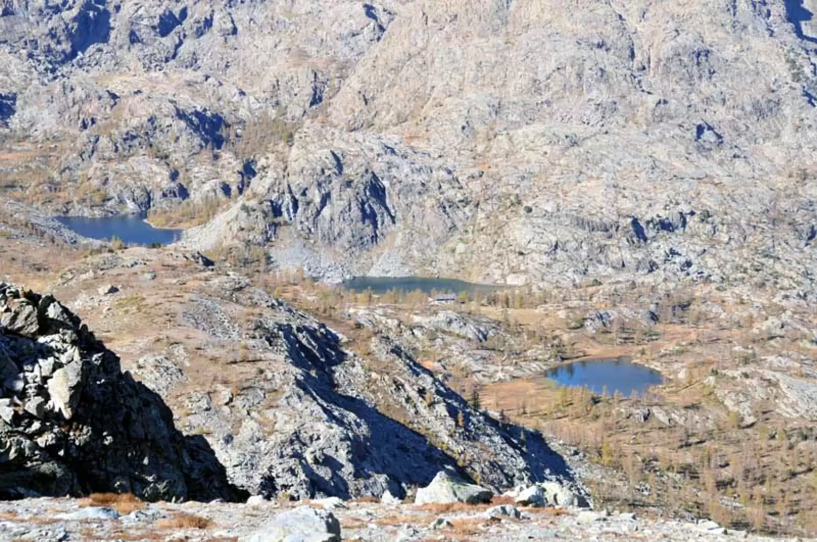
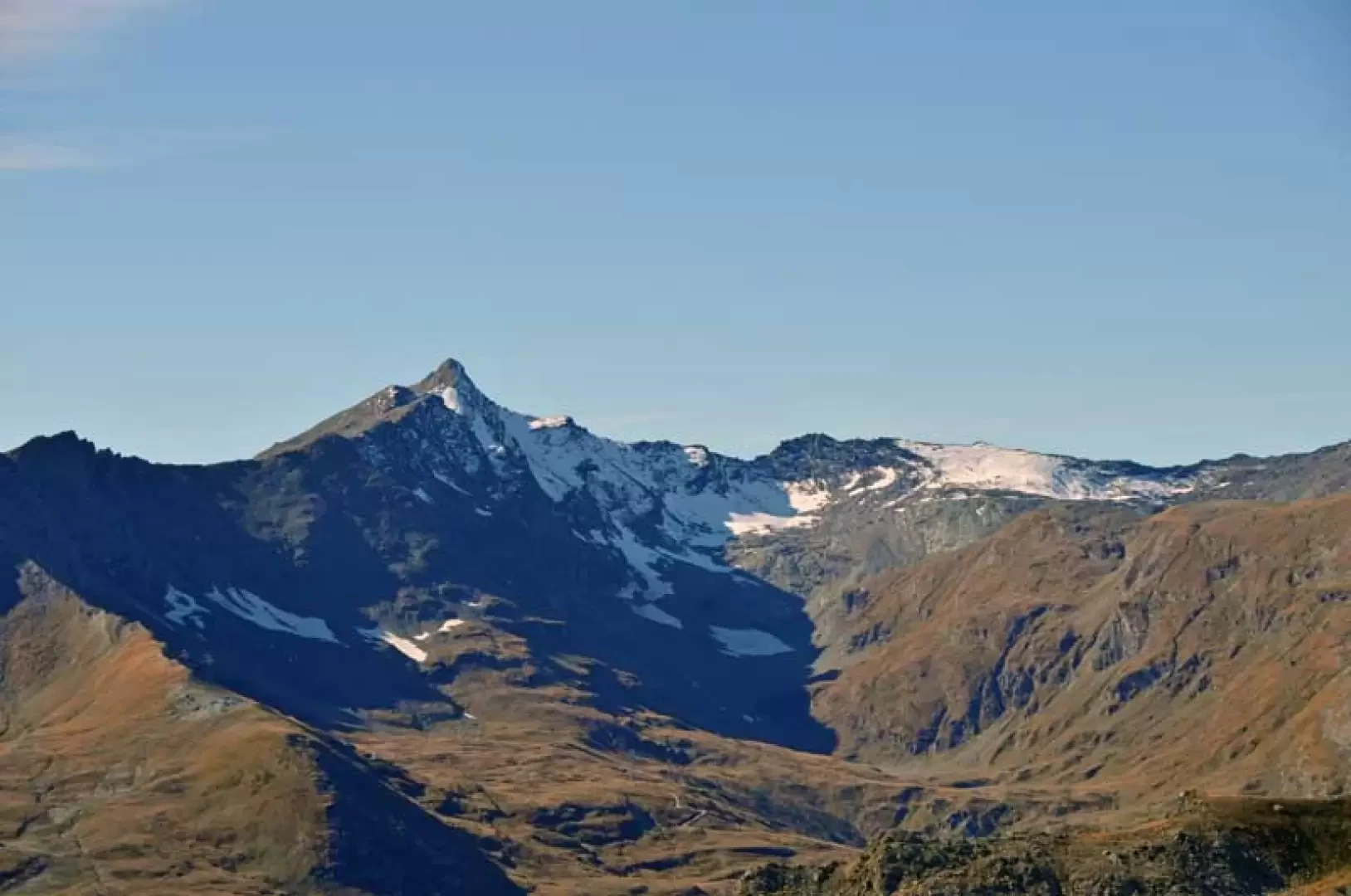
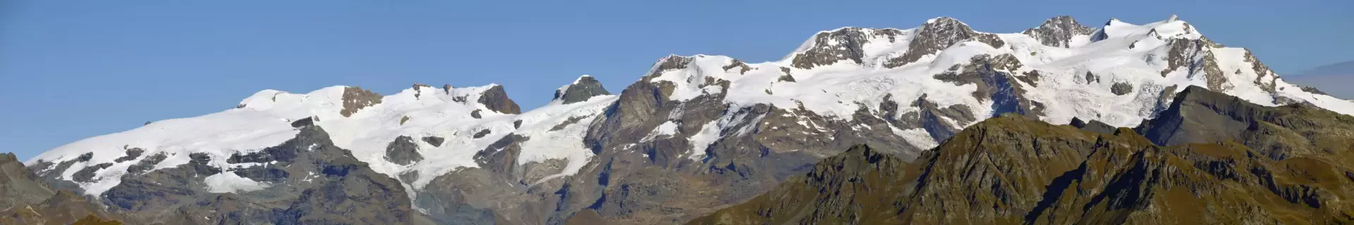
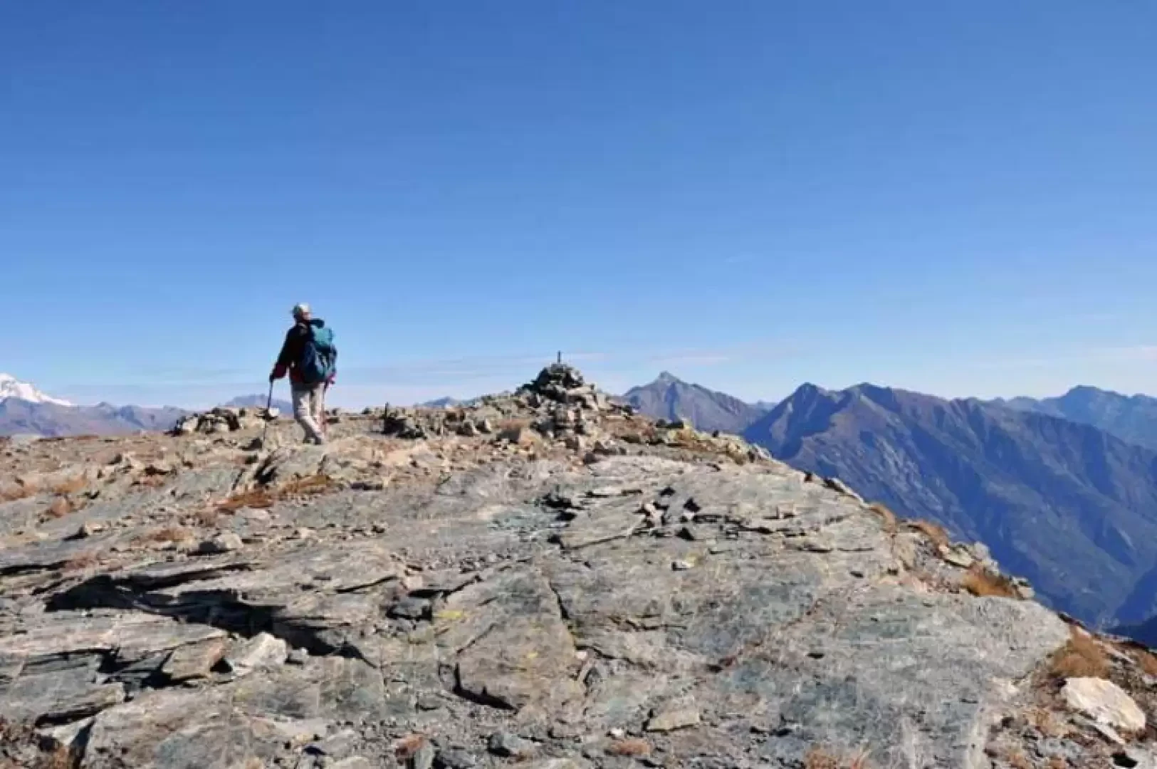
The hike does not present any particular difficulties and takes place in the heart of the Mont Avic Park, passing by the beautiful Muffé lake and two other small lakes near Col de la Croix. The summit, surmounted by two small stone cairns, offers an exceptional panorama to the north-east over the Rosa group, the Matterhorn and Dent d'Herens, and the Park territory below, with the lakes and the Barbustel refuge and all the peaks that surround it; in other directions, the view extends over the Val d'Ayas, the Central valley, the Alleigne valley and the Champorcher valley, whose upper part is dominated by the Rosa dei Banchi.
.Description
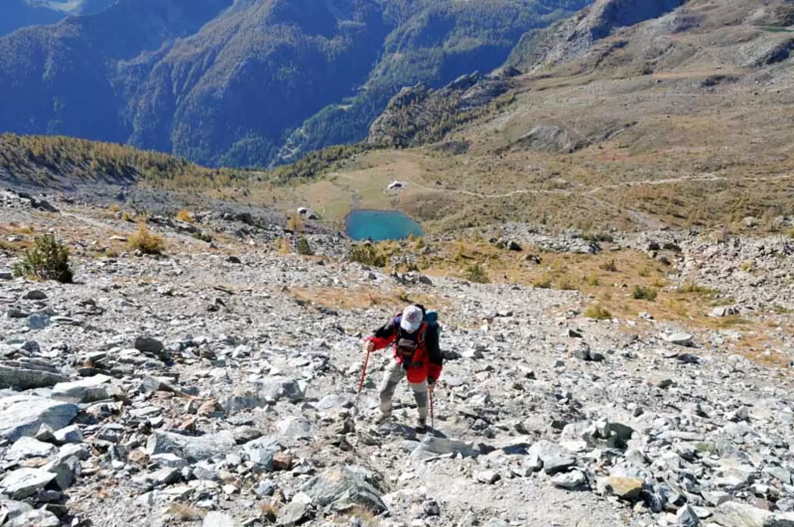
From the posts on the road, take the clearly marked path that climbs rather steeply with a few hairpin bends through the coniferous forest, passing a hut (1847m) situated on a grassy knoll. Pass a wooden footbridge and continue to the left of a little stream, arriving in sight of the Gran Cort hut (1942m) situated just above on the other bank; A little further on, leave a path to the right indicated by a signpost (1974m) and, after a bend (1996m), leave the path to the left to cut across the slope under a low rocky rampart, arriving in more open spaces where, near a hut, you will find Lake Muffé (2076m) and further on, on the left of the wide pass, you will see the triangular peak that is the destination of this excursion. To the left of the hut is a well-marked junction with yellow marks on a stone, at which you continue to the right on gentle slopes that lead to another junction (2231m), where you turn right and cross the slope on a slight incline to the col de la Croix, where there are a couple of pleasant little lakes, well worth visiting, and where you come to a large stone cairn (2295m); Leaving the path to the left that continues towards the pass, continue to traverse the mountain slopes on a slight incline and, after passing through a stepped section, you arrive at an altitude of 2398m where, at a pair of cairns, a track of friable loam emerges on the left. Climb up the track laboriously on a steep slope to reach a small shoulder and then, decreasing the slope a little, touch on an antecedent and soon reach the small stone cairn on the summit.
.Galleria fotografica