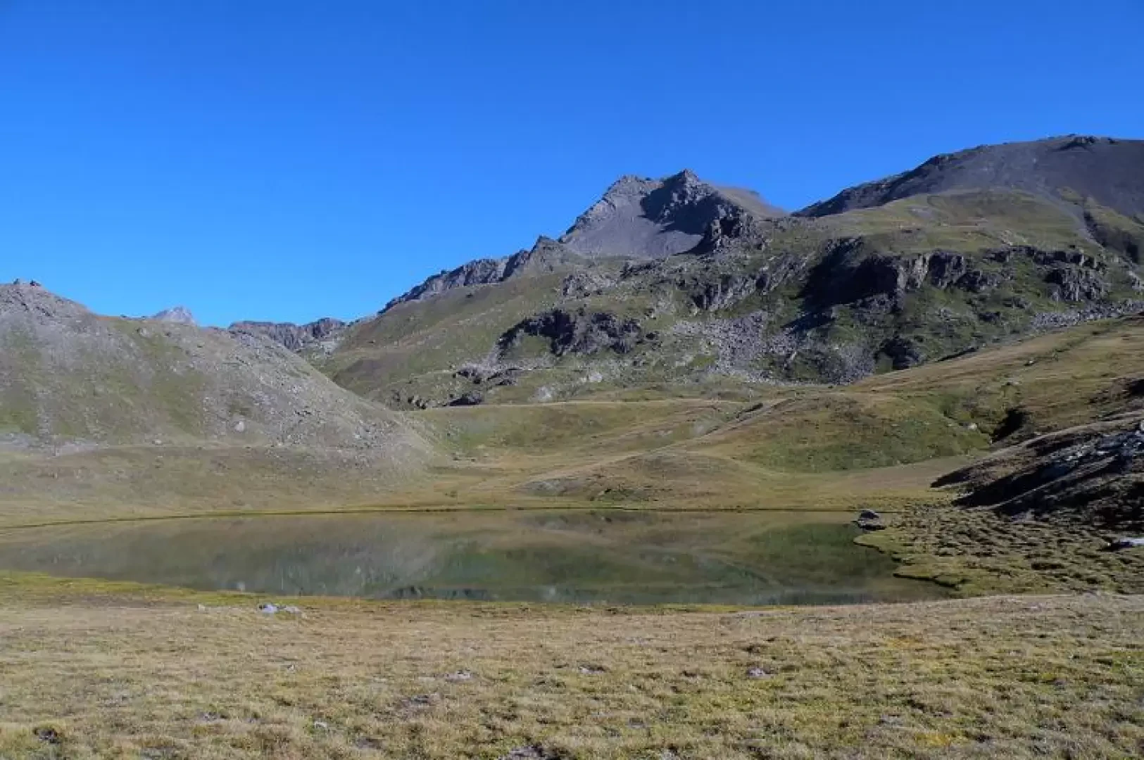
Punta di Leppe, from Gimillan

Introduction
A long and strenuous hike to an ima that offers an exceptional panorama of the numerous lakes that surround it and all the peaks of the Aosta Valley. The stretch up to Lake Corona is on a well-trodden path with a normal gradient, but beyond that, the path disappears and you have to follow the few stone cairns that indicate a very steep route at first on grassy ridges that then give way to loose scree and fine detritus, where the adjective "strenuous" is never out of place for every step taken towards the summit.
Description
From the car park, do not enter the village, but turn right onto a tarmac road and after a few metres you will find the starting points for the itinerary next to a large panel with the area's paths. One briefly climbs up the pastures above the markers and reaches a dirt road that one follows for a few dozen metres and then, at about the height of a small church located a little lower down, one abandons it to take the path that branches off to the right and heads into a wood. The path, initially level, passes a small votive chapel and then reaches the junction for Tchezeu (1918m), where it continues straight ahead over an area of debris and landslide boulders. Shortly afterwards, go down a few metres and you will come to a bridge that you cross to start climbing again, leaving the path to the right of another fork, among the green pastures of the valley that you follow on a gentle slope to its bottom towards a high rocky bastion. Here, with a few hairpin bends passing above the Pila hut (2021m), climb up it again and go round the promontory, passing through a wooded section that passes next to a plateau where the Crouzet hut (2244m) is located. Rising above the rampart above the hut is a wooden cross and the crossroads post for Lago Money at the start of the beautiful plateau where the Grauson desot (2275m) mountain pasture is situated; You pass to the right of the houses, without crossing the little bridge, and reach a bridge, which you now have to cross, to then climb up to the left of the stream and reach just above the fork for Pas des Invergneux, whose path you leave to the right, to take the path to Grauson dessus on the left. After a few wide hairpin bends, you reach the alpine pasture and, still following the indications of a small post, turn right with the path that, after skirting a small grassy promontory, enters a small valley and, having passed a puddle of water, you make another hairpin bend and at the end of the short traverse you reach the beautiful Corona Lake (2702m) from which on the left you can see the imposing mass of our destination. Go around the lake indifferently to the right or left until you come to a rock with a yellow arrow, where the path begins to descend; from this point there is no longer a path and you must ascend by sight, following some providential stone cairns. From the rock, you must locate a little stone cairn high up on the ridge that descends to the left of a rocky promontory and, without an obligatory path, you reach it laboriously by climbing the steep grassy slope. One walks along the ridge, aiming at the evident scree collar to the right of the summit, and then crosses an area of erratic boulders where the slope eases a little, reaching the base of the steep scree slope, where one can spot another cairn of stones. The ascent is made on a shaky track that climbs practically without hairpin bends and is really tiring both because of the slope and because of the fine moving debris that makes progression very difficult (one step forward and half back). On reaching the scenic Col Vallonet (3062m), one turns sharply to the left and has to climb the long (250m difference in altitude) and steep crest that descends from the summit. At the beginning, there is a semblance of a track that disappears just before the first of the three rocky notches on it and, having passed it on the right on mobile gravel, continue, again very laboriously, until reaching the other two, which are also passed on the right until the slope gradually decreases, finally foreshadowing the summit. This is wide and spacious, with the presence of some small rocky outcrops, and there is a small stone cairn from which the truly exceptional 360° panorama over the entire Aosta Valley amply repays the effort: to the north, in addition to the nearby Emilius with the Laures Lakes, it allows us to see Mont Blanc and Combin, and continuing to the right we can see the entire magnificent chain from Cervino to Rosa; still to the right, south, after passing the peaks of the Mont Avic Park we have in front of us the nearby and imposing Tersiva and, further to the right, to the west, the entire Gran Paradiso and Grivola group; and then, in addition to the Lussert Lakes below, gradually other peaks and hills of the other valleys.